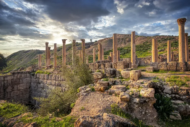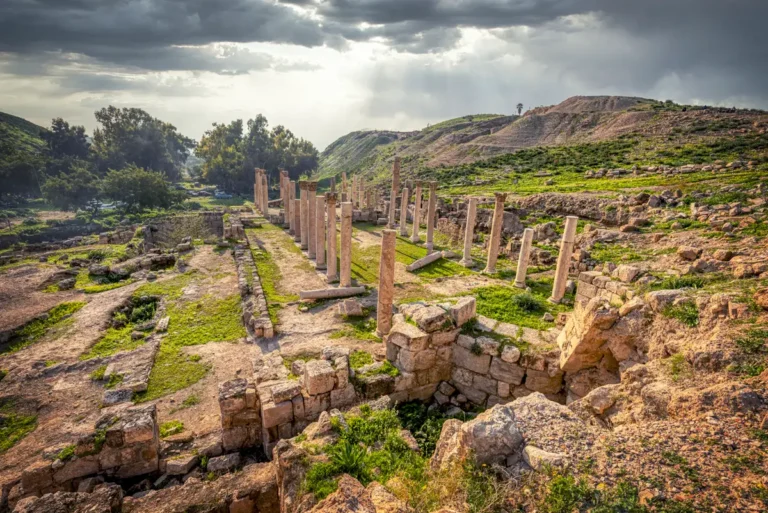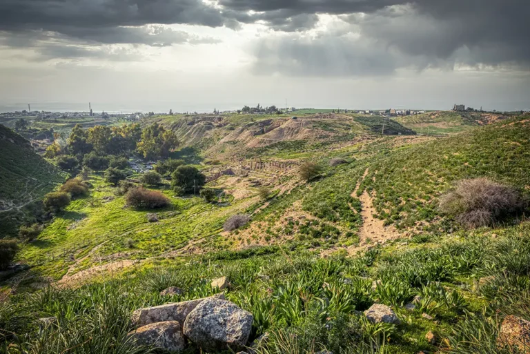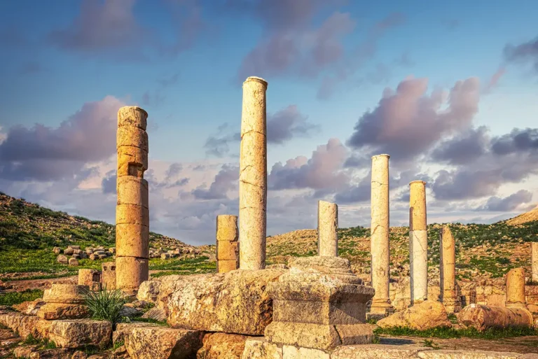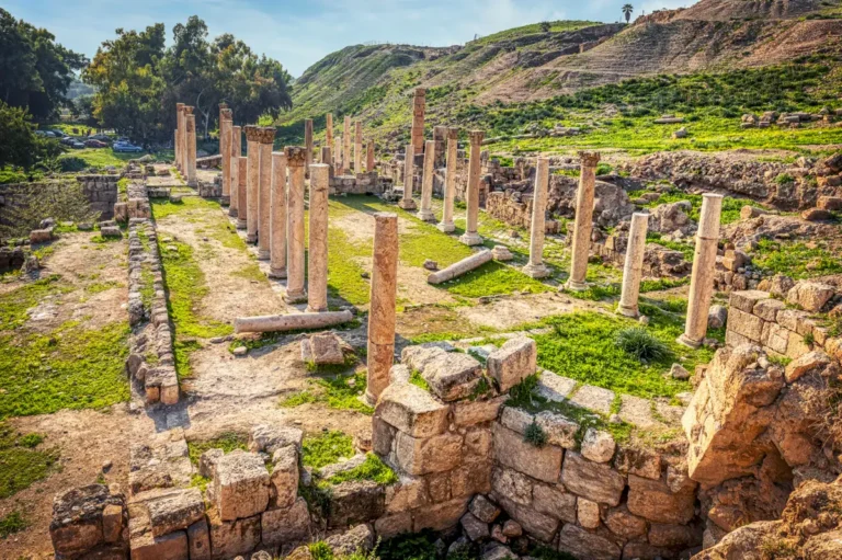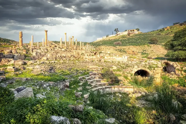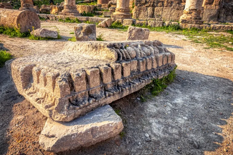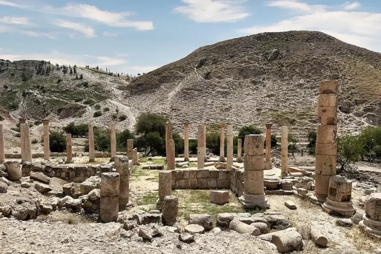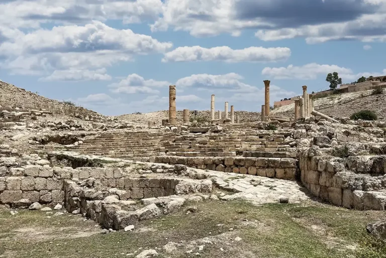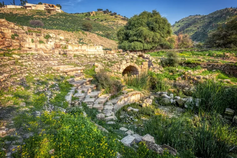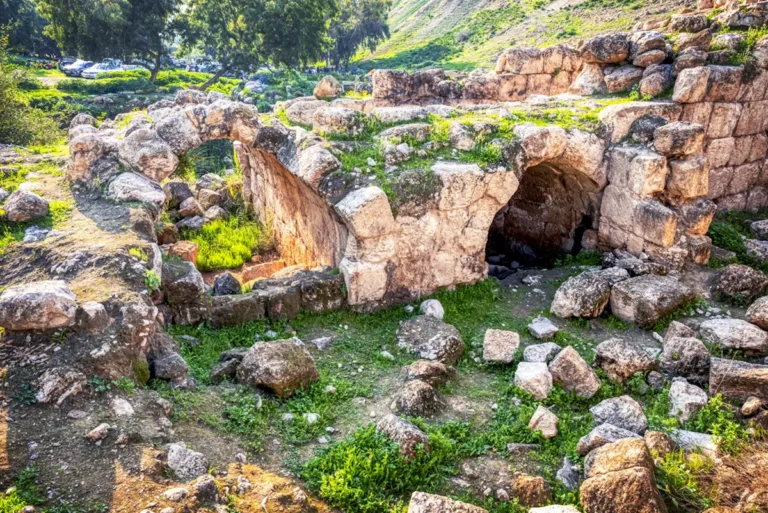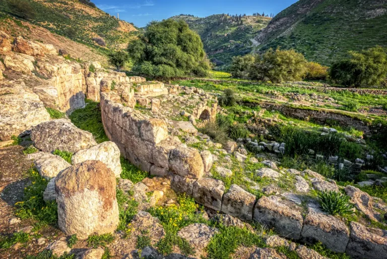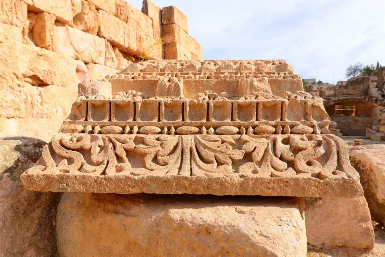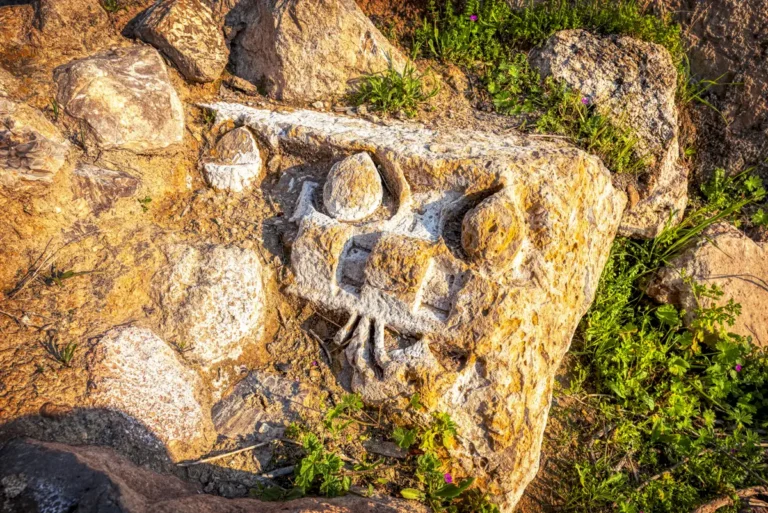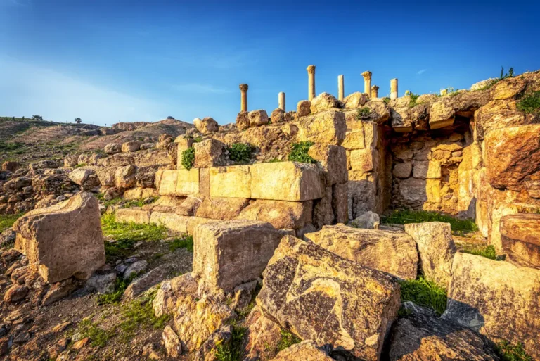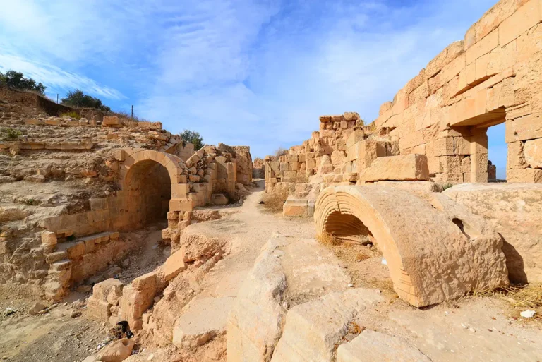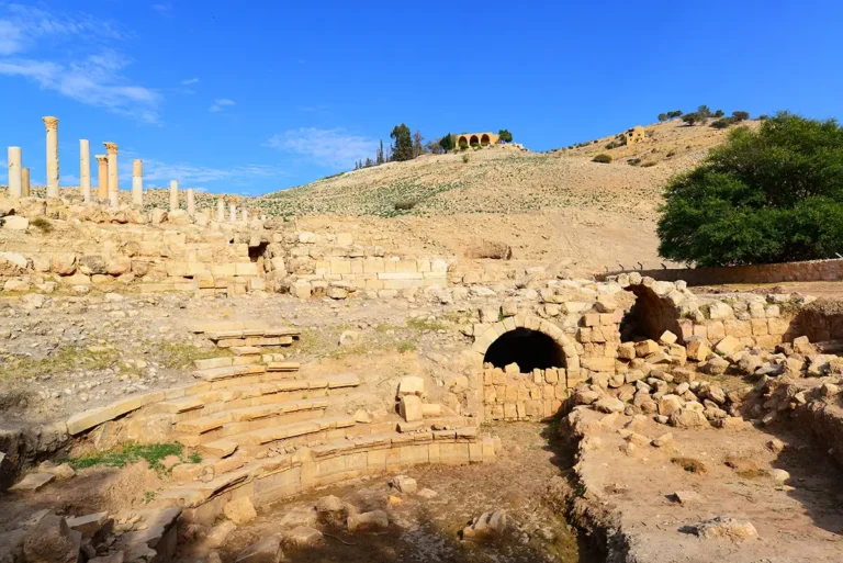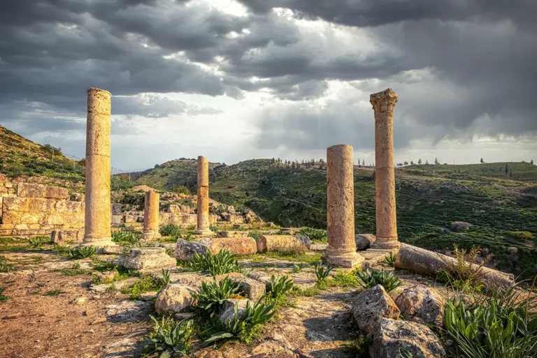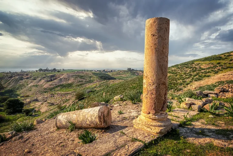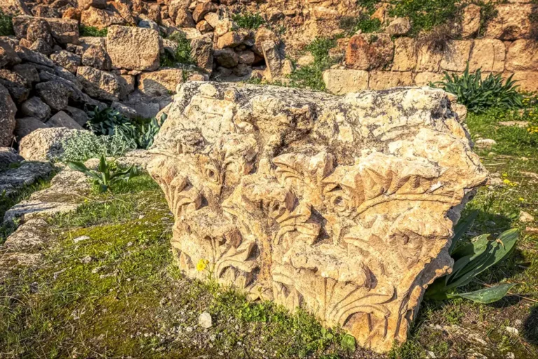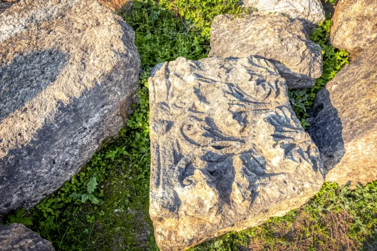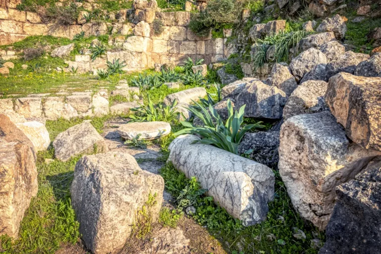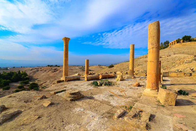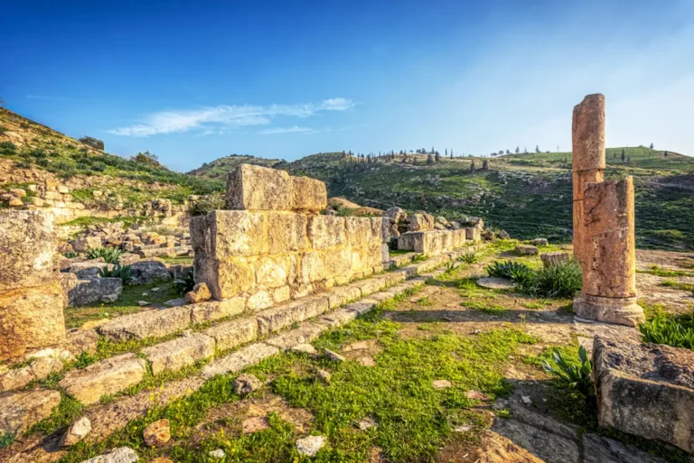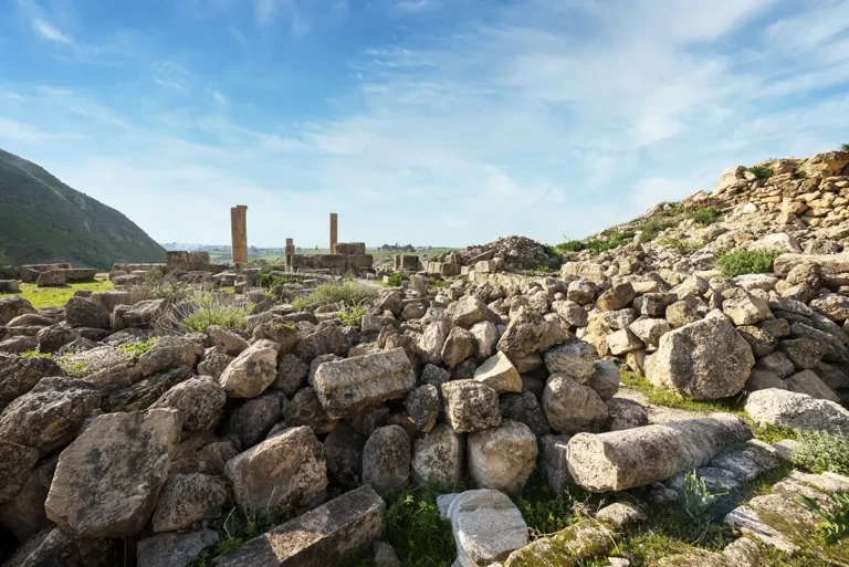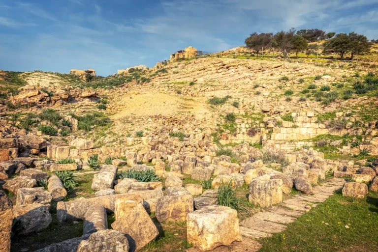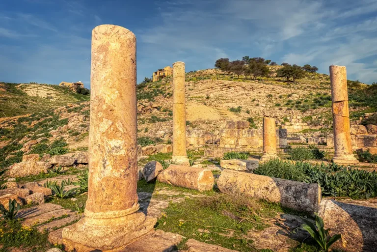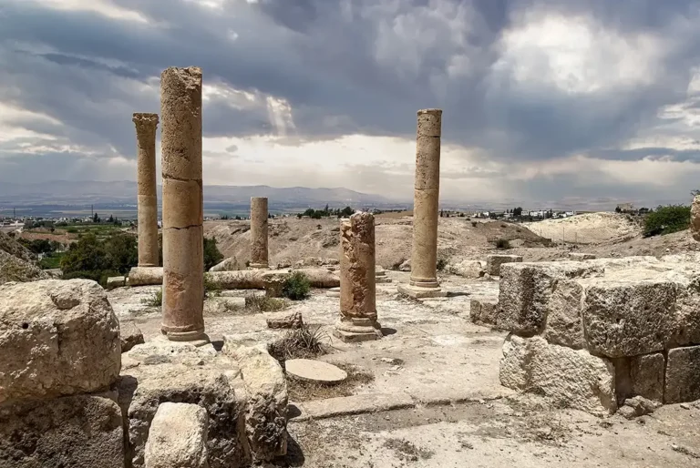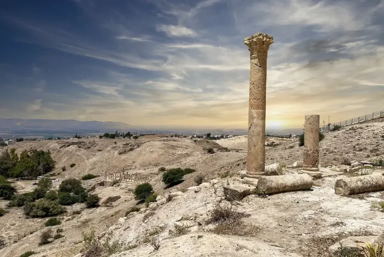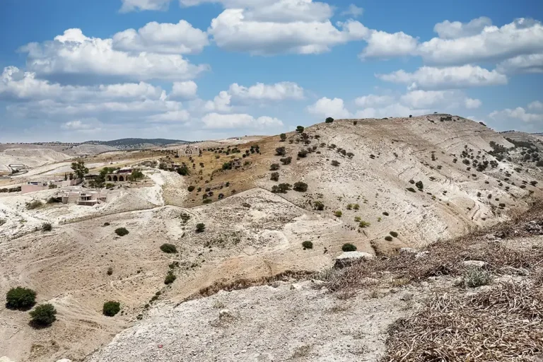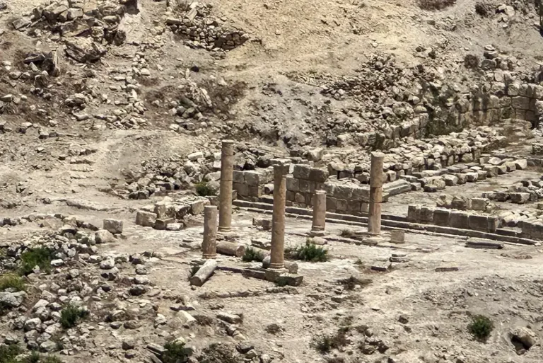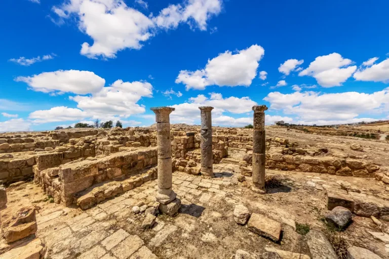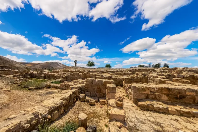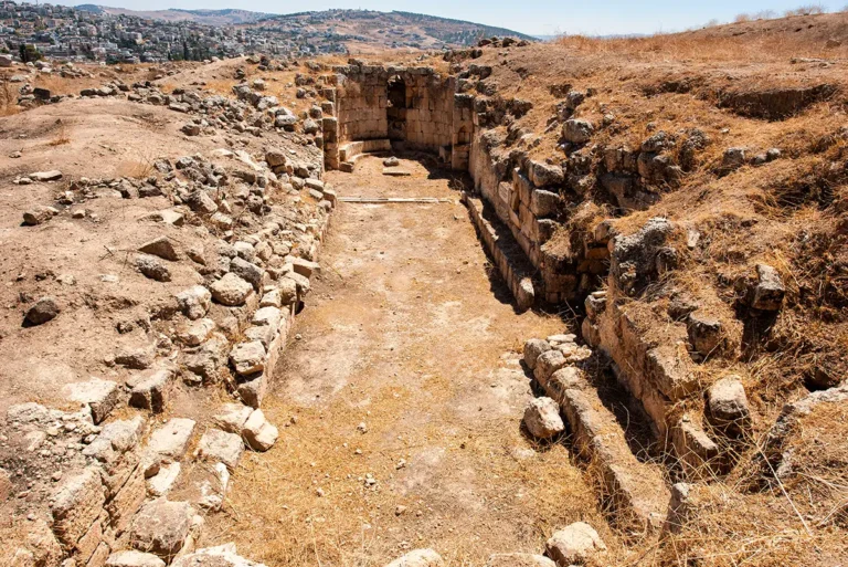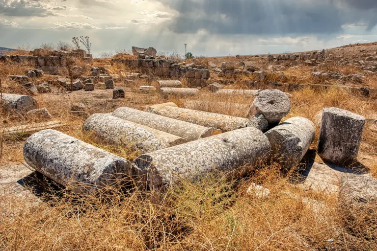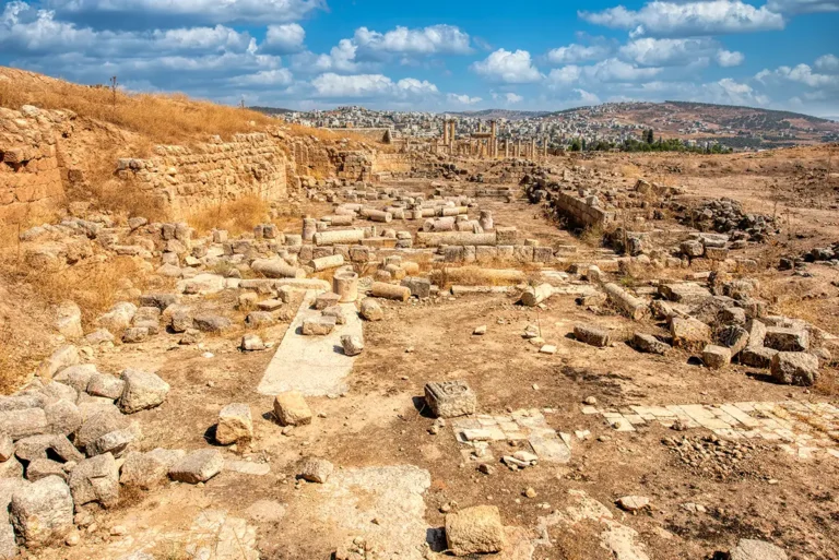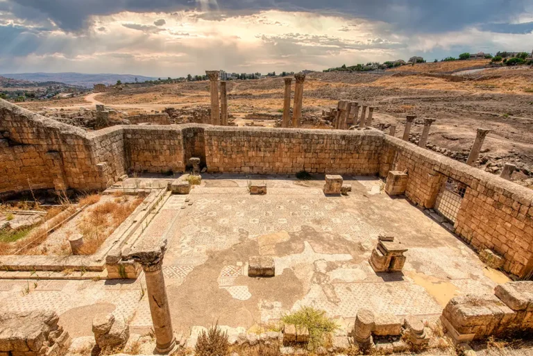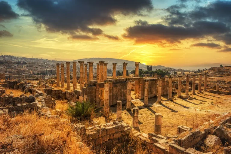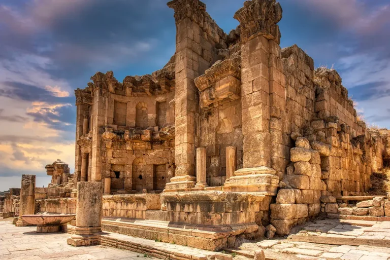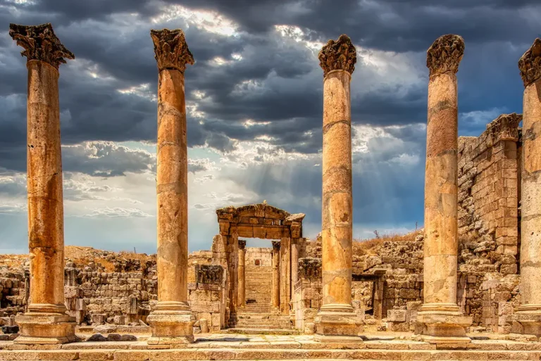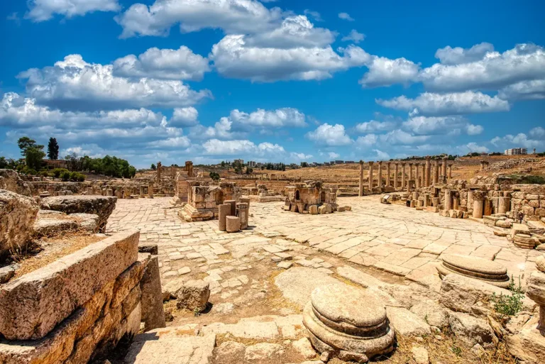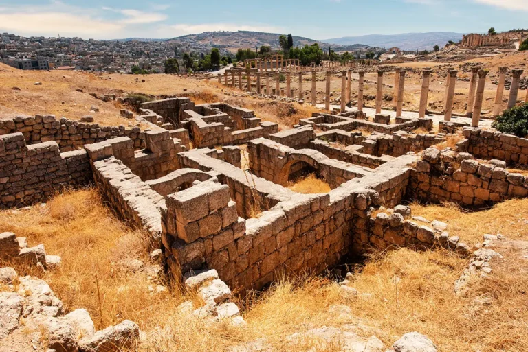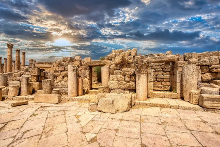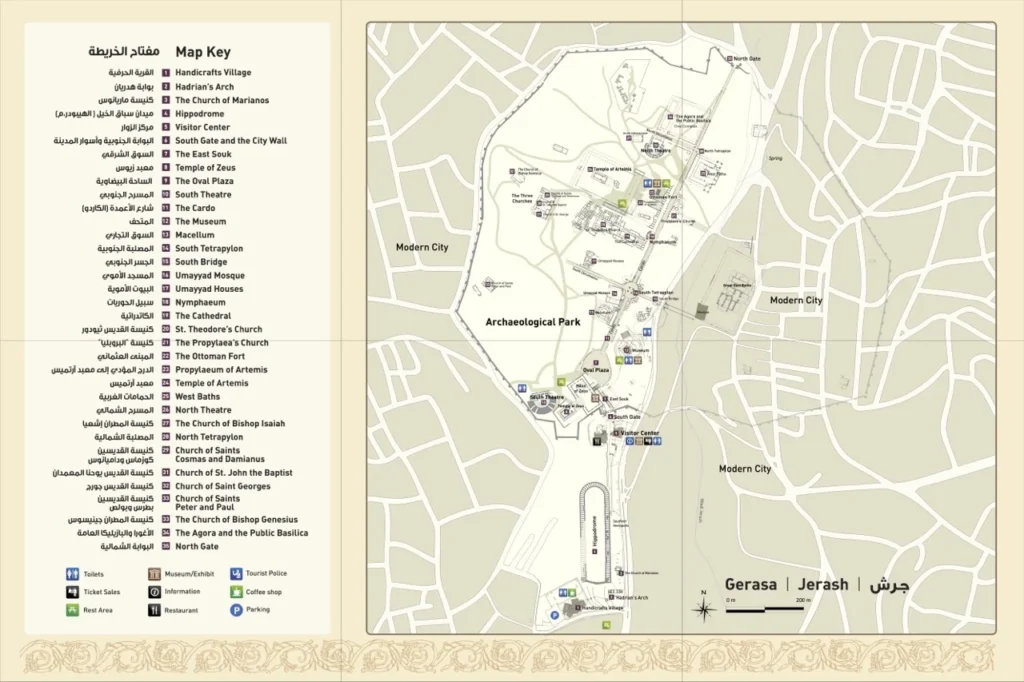
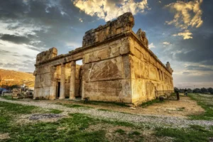
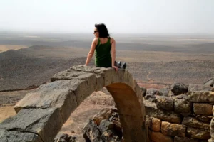
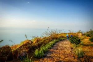
Jerash Archaeological Park is one of the most remarkable ancient cities in the Middle East. Known in antiquity as Gerasa, it preserves an exceptionally rich urban landscape: monumental gates, collonaded streets, theatres, temples, markets, baths, churches, workshops, mosques and houses. Rather than being a collection of isolated ruins, Jerash is a city that can still be read on the ground.
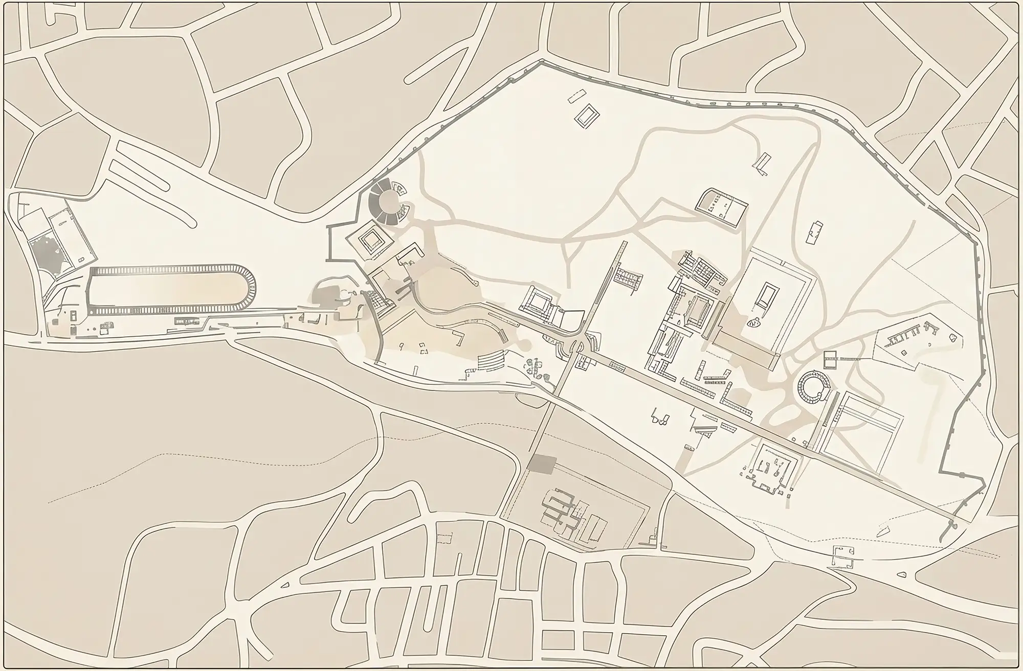
Hadrian's Arch
The Hippodrome
Church of Marianos
Visitor Centre
South Gate
East Souk & The South Street
West Souk & Military Barracks
Sanctuary of Zeus Exhibition
Sanctuary of Zeus
South Theatre
Oval Plaza
Oval Plaza
Cardo Maximus
Shops of the South Cardo
Macellum
Umayyad Mosque
Umayyad Houses
South Tetrapylon
The Cathedral
Church of St Theodore
Nymphaeum
Sanctuary of Artemis
Church of the Propylaea
North Theatre
North Tetrapylon
Civic Basilica
Presumed Agora
West Baths
North Gate
The Three Churches Complex
Church of Bishop Isaiah
Hydraulic Stone Saw Machine
Church of Bishop Genesius
Baths of Placcus
Synagogue-Church
Great East Baths
Archaeological Museum
Church of Sts Peter and Paul
Mortuary Church
Enlarge
Set beside the modern town of Jerash, about a 40-minute drive north of Amman, the park reveals more than seven centuries of changing urban life—from the Roman and Byzantine periods to the early Islamic age and beyond. Its grand monuments are rightly famous, but the quieter ruins of shops, neighbourhood churches, industrial installations and domestic buildings make the site especially rewarding.
Jerash Archaeological Park at a Glance
- Ancient name: Gerasa
- Main periods represented: Roman, Byzantine, Umayyad and Abbasid
- Best-known monuments: Hadrian’s Arch, Oval Plaza, Cardo Maximus, Temple of Artemis, Temple of Zeus, South Theatre, North Theatre
- Suggested visit time: 4–6 hours for a broad visit; a full day for the park, museum and lesser-known monuments
- Starting point: Visitor Centre at the southern entrance
- Terrain: Mostly open, uneven ancient paving, steps and rough ground
- Museum: Jerash Archaeological Museum, inside the park
- UNESCO status: On Jordan’s UNESCO Tentative List; it is not currently an inscribed World Heritage Site.
First Impressions: Entering an Ancient City
Visitors enter from the south, where the scale of Gerasa becomes immediately clear. The route begins at Hadrian’s Arch and leads past the Hippodrome and the South Gate. These monuments announce the city’s ambition long before the visitor reaches its central streets.
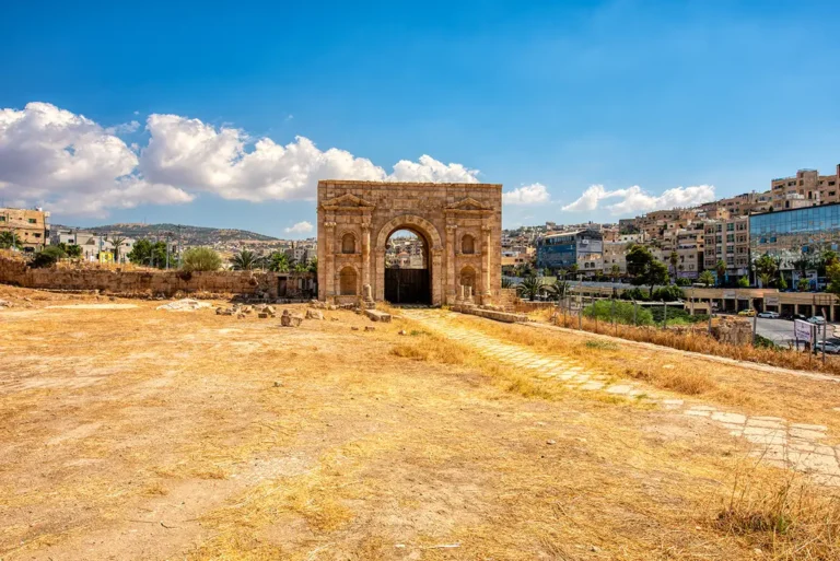
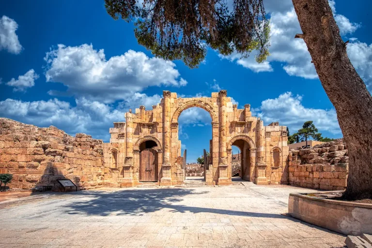
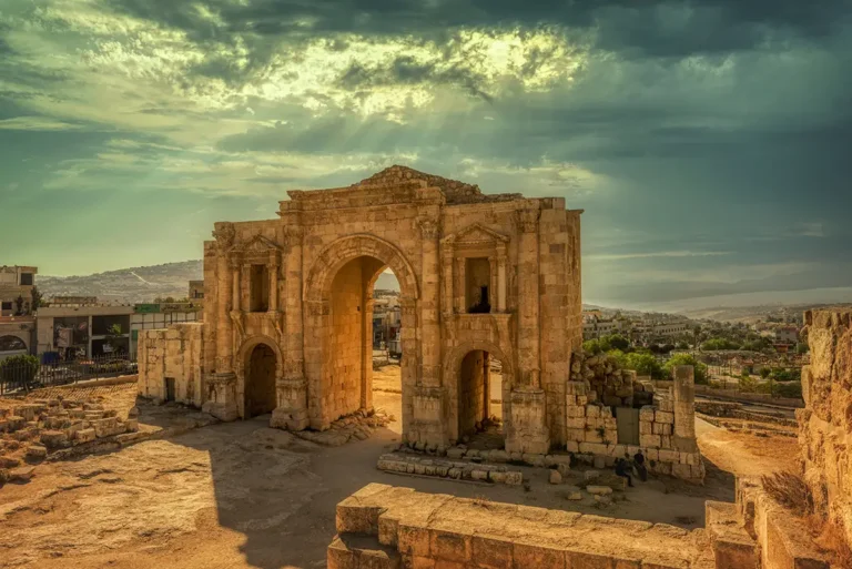
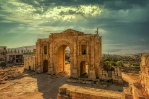
Hadrian’s Arch, constructed for the emperor’s visit in AD 129/130, stands outside the main line of the later city wall. Beyond it, the Hippodrome recalls the public spectacles of Roman Gerasa, while the South Gate forms the monumental threshold into the walled city. From here, the route enters a dense archaeological landscape where temples, streets and civic buildings rise from the hillsides.
A City Built Over Centuries
Jerash was already an important settlement before Roman rule, but it expanded dramatically under the Roman Empire. Its wide streets, drainage systems, temples and public monuments reveal a prosperous city closely connected to the wider Roman Near East.
During Late Antiquity, Gerasa became an important Christian centre. New churches were constructed beside or within older Roman buildings, and the city’s sacred landscape was transformed without erasing its earlier past. The great sanctuary of Artemis remained a dominant presence, while churches, monasteries and civic structures appeared around it.
The city also continued to thrive after the early Islamic conquest. Umayyad and Abbasid inhabitants reused Roman streets, adapted buildings, established a mosque beside the Cardo Maximus, and built or altered shops and houses. The earthquake of AD 749 caused devastating damage, but Jerash was not simply frozen in one moment of history; its ruins preserve a long story of adaptation, rebuilding and reuse.
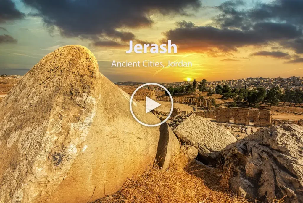
- Jerash Archaeological Park - 3D Virtual Walk-through
The Main Monumental Route
Hadrian’s Arch and the Hippodrome
The southern approach begins with Hadrian’s Arch, a monumental three-bayed gateway dedicated to Emperor Hadrian. It was designed as a grand ceremonial entrance, though it stood beyond the city limits at the time of its construction.
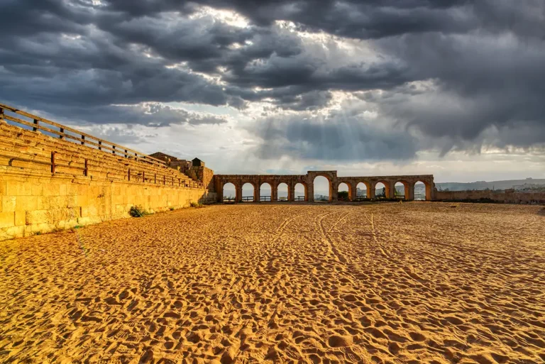
Nearby is the Hippodrome, a long arena for chariot racing and public displays. Its surviving walls and seating outline a venue that once accommodated thousands of spectators. Together, the arch and Hippodrome introduce the theatrical scale of Roman public life in Gerasa.
The South Gate and the City Wall
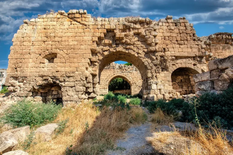
The South Gate was built around AD 129/130 and later incorporated into the city’s defensive system. Its three arches, framed by half-columns, echo the design of Hadrian’s Arch and mark the southern entrance into the ancient city.
The gate became part of a city wall constructed in the early 4th century AD. This defensive circuit enclosed a far larger urban area than many visitors expect, showing that Gerasa remained a major and active city well into Late Antiquity.
The Oval Plaza
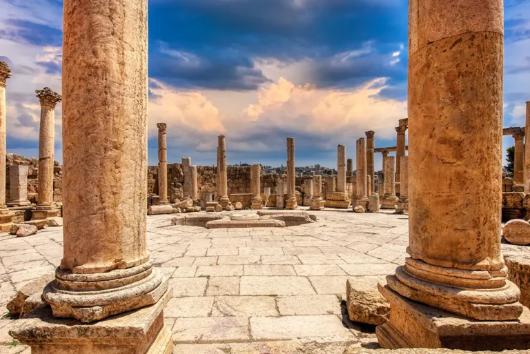
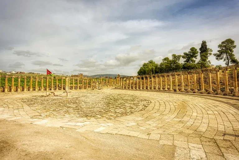
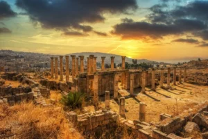
The Oval Plaza is Jerash’s most recognisable urban space. Unlike a conventional rectangular forum, it forms a broad oval enclosure lined with columns. It creates a dramatic transition between the South Gate route and the Cardo Maximus, the city’s principal north–south street.
The plaza was both a monumental public square and a carefully designed visual stage. From its paving, the view opens north toward the long Cardo and west toward the Sanctuary of Zeus.
The Temple of Zeus and the South Theatre
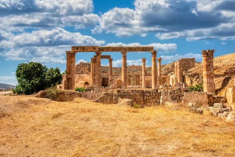
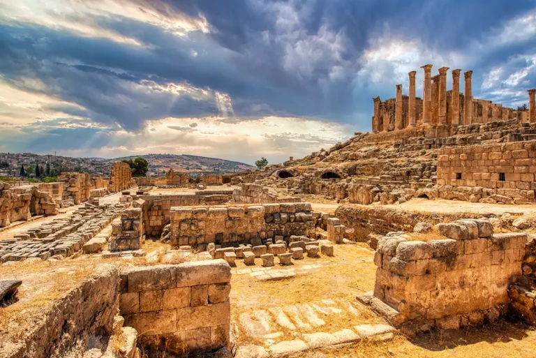
Above the Oval Plaza rises the Sanctuary of Zeus, one of Gerasa’s major Roman religious complexes. Its terraces, stairways and monumental remains demonstrate how architecture reshaped the natural slope of the hill into a sacred precinct visible across the city.
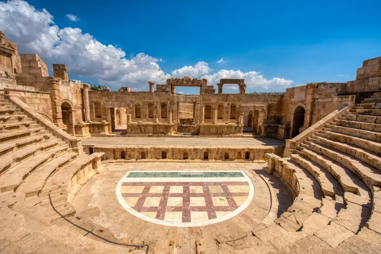
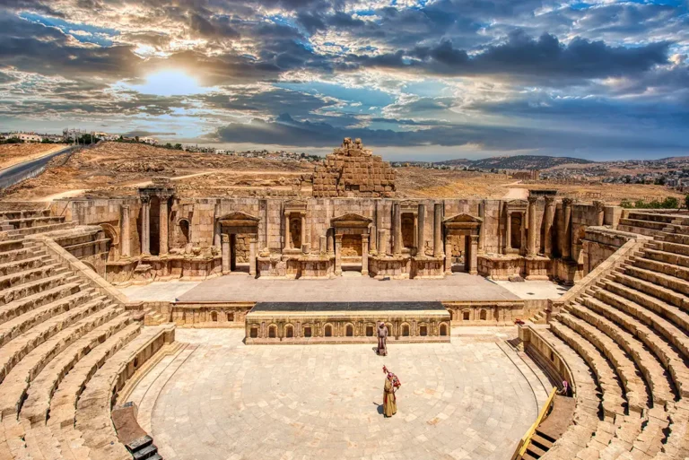
South of the sanctuary stands the South Theatre, built into the hillside. Its stone seating, stage building and excellent acoustics still convey the atmosphere of an ancient performance venue. The theatre remains one of the best places to appreciate how Roman architecture used topography to create civic spectacle.
The Cardo Maximus
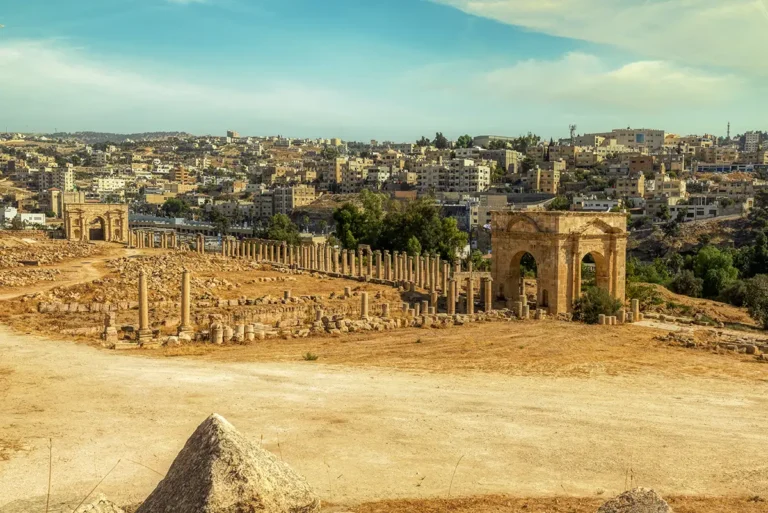
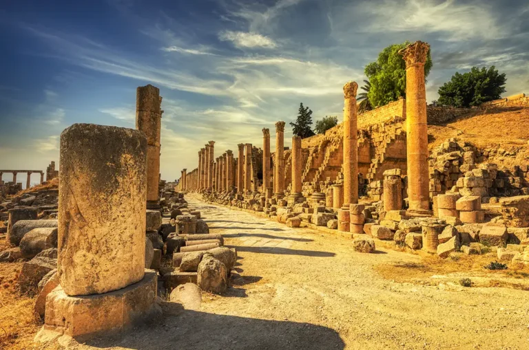
The Cardo Maximus is the central spine of Jerash. Extending for roughly 800 metres, it connected the southern and northern districts of the city and was lined with columns, shops, fountains, monuments and entrances to public buildings. Original paving stones, wheel ruts and sections of the drainage system remain visible along the route.
Walking the Cardo is the best way to understand Gerasa as an inhabited city rather than a series of landmarks. The road passed markets, shrines, meeting places, homes and workshops. In later centuries, many spaces beside the street were altered to meet new commercial and domestic needs.
The Macellum and the Shops of the South Cardo
Near the southern Cardo, the Macellum was a market complex with a distinctive circular plan. It stood among rows of shops serving the busiest part of the city.
The Shops of the South Cardo show how this commercial landscape changed over time. Some Roman façades survived, while later Umayyad and Abbasid shopkeepers expanded their premises onto the old sidewalks. Finds from these spaces include ceramics, mosaics and a marble slab bearing an Arabic debt record—rare evidence for the practical transactions of daily life in early Islamic Jerash.
The Umayyad Mosque and Umayyad Houses
Beside the Macellum is the Umayyad Mosque, entered from the Cardo. Its courtyard, prayer hall and southern qibla wall illustrate how an Islamic place of worship was inserted into the fabric of the Roman city. The prayer hall contained two mihrabs in the south wall, oriented toward Mecca.
North of the western end of the South Decumanus are the Umayyad Houses. These domestic structures help correct the impression that Jerash was abandoned immediately after Rome. Their rooms, courtyards and reused architectural elements show that people continued to live, work and adapt the old city in the early Islamic period.
The Nymphaeum, Cathedral and Church District
Farther north, the Cardo reaches the Nymphaeum, a monumental public fountain that once displayed water as a civic luxury. Its façade and basin were part of the city’s sophisticated water infrastructure.
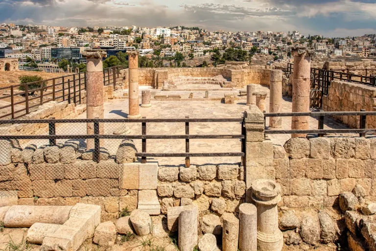
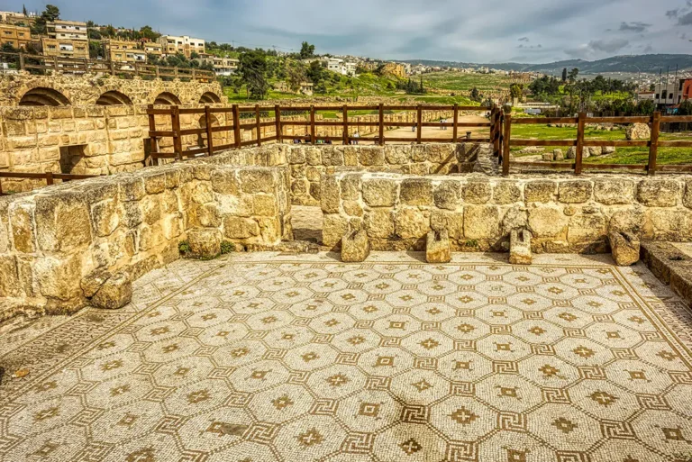
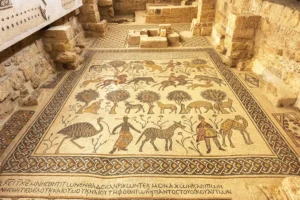
Nearby stands the Cathedral, later surrounded by churches and religious buildings. The area became one of the most important Christian zones in the city. The Church of St Theodore, the Three Churches complex, the Church of the Propylaea and other basilicas preserve traces of mosaic floors, apses, clergy seating and adapted Roman architecture.
The Sanctuary of Artemis
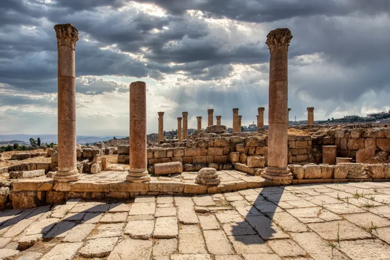
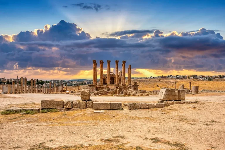
The Sanctuary of Artemis was Gerasa’s most important pagan sanctuary. Artemis was the city’s principal deity, and her temple dominated the western hill above the Cardo. The monumental propylon, broad stairways, terraces and surviving Corinthian columns create one of the park’s most impressive settings.
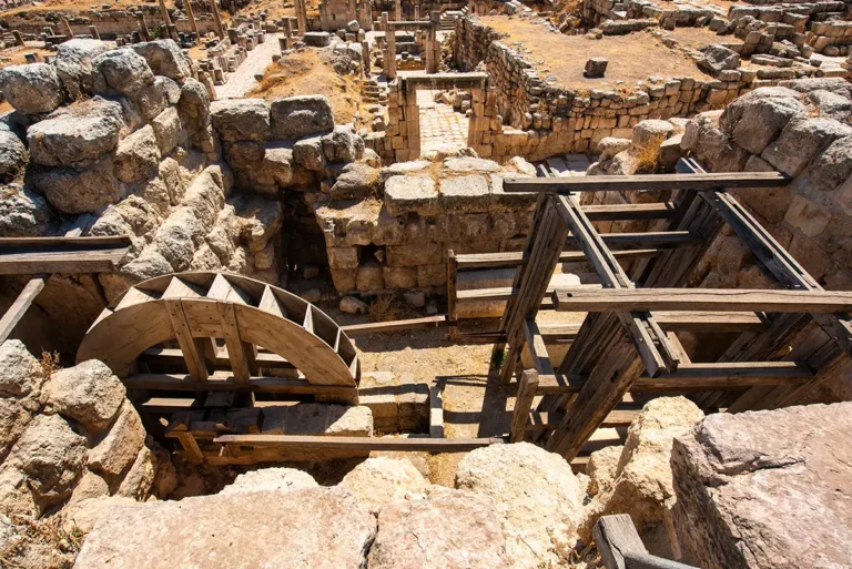
The sanctuary also reveals the city’s later transformations. Roman sacred buildings were reused, reshaped and surrounded by Christian and industrial structures. The hydraulic stone saw machine, installed in a former underground room of the sanctuary area around AD 550, is among the most extraordinary examples of late antique engineering at Jerash.
The Hydraulic Stone Saw Machine
The hydraulic stone saw machine used water power to cut large blocks of hard limestone. A waterwheel drove a crankshaft that converted circular movement into the back-and-forth motion needed for saw blades. The installation is one of the earliest known examples of this mechanism in the world.
A working replica now helps visitors visualise the process. It is a striking reminder that Jerash was not only a city of temples and theatres but also a place of advanced engineering, skilled labour and industrial production.
Baths, Civic Buildings and the North Quarter
The northern part of the park contains many of Jerash’s quieter but most revealing monuments. The West Baths, Baths of Placcus, Civic Basilica, presumed Agora, North Theatre, North Tetrapylon and North Gate show that the city extended well beyond its famous central route.
The Baths of Placcus, built in the mid-5th century under Bishop Placcus, illustrate the transition from large Roman communal bathing spaces to smaller Byzantine bathing rooms. The Civic Complex, meanwhile, brings together a basilica, open civic area, streets and nearby religious buildings in a dense urban setting.
The North Theatre is smaller than the South Theatre but remains an elegant example of a Roman performance building adapted over time. Near it, the North Gate marked the northern edge of the monumental city.
Beyond the Main Route
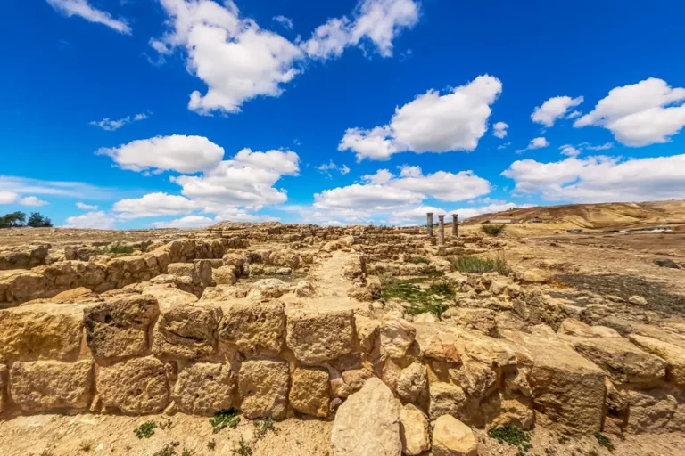
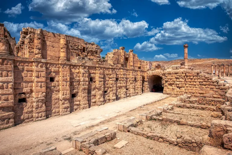
The East Souk and South Street preserve evidence for one of the city’s earliest commercial strips. Around AD 110, a line of workshops stood beside the road toward Philadelphia, modern Amman. After fire and rebuilding, the area was reshaped when the route to the Oval Plaza was altered.
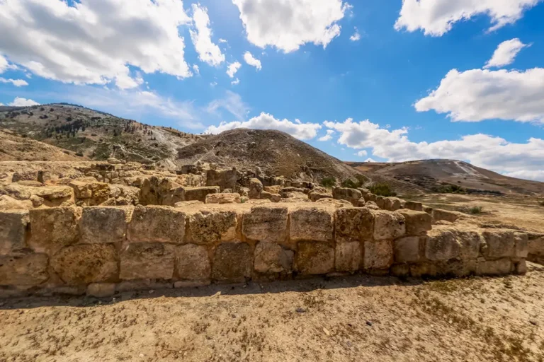
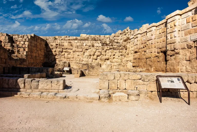
The West Souk and Military Barracks, near the South Gate, reveal another transformation. A Roman commercial area was destroyed in the late 3rd century and later replaced by a small barracks arranged around a courtyard. An oil press in the area adds another layer to its economic history.
The Church of Saints Peter and Paul, Mortuary Church, Church of Bishop Isaiah, Church of Bishop Genesius, Synagogue-Church and other smaller monuments preserve the intimate scale of neighbourhood worship. Their ruins are less monumental than the temples, but they are essential to understanding Byzantine Gerasa as a living Christian city.
Outside or near the eastern edge of the archaeological park, the Great East Baths and South Bridge demonstrate the scale of the city’s infrastructure beyond the main ticketed route. The Great East Baths were among the city’s largest bath complexes, with extensive rooms, pools and service spaces.
The Visitor Centre, Museum and Exhibition Spaces
The Visitor Centre is the best place to begin. It provides orientation, maps, interpretation and access to guides. Official information also notes visitor brochures, historical displays, a site model and a short introductory film.
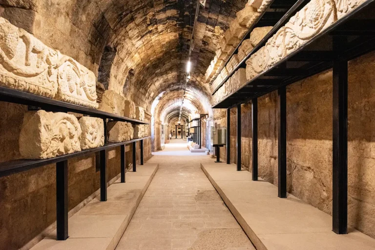
The Jerash Archaeological Museum is well worth visiting before or after walking the ruins. Its collections include pottery, coins, jewellery, glass, sculpture, mosaics and funerary material spanning the city’s long history. It gives context to objects that would otherwise be difficult to imagine in their original settings.
The Sanctuary of Zeus Exhibition also helps visitors understand the archaeology, conservation and changing life of the site.
- Jerash Archaeological Park - Visitor Centre 3D Panorama
How to Plan Your Visit
A Short Visit: About Two Hours
If time is limited, focus on: Hadrian’s Arch, Hippodrome, South Gate, Oval Plaza, Temple of Zeus, South Theatre, Cardo Maximus, Nymphaeum, Temple of Artemis.
This route captures the great monuments, but it only introduces Jerash.
A Half-Day Visit: Four to Six Hours
Add the Macellum, South Cardo shops, Umayyad Mosque, Cathedral, churches, North Theatre, Civic Complex and Archaeological Museum. This is the best option for most visitors.
A Full-Day Visit
A full day allows time for the less-visited monuments: West Baths, hydraulic saw machine, churches in the north-west quarter, Synagogue-Church and the Great East Baths area.
Practical Tips for Visiting Jerash
Wear sturdy shoes. Ancient paving, steps and rough ground are common throughout the park.
Carry water, especially in warmer months. Shade is limited outside temples, theatres and museum spaces.
Start early for cooler temperatures and softer light.
A local guide can make a major difference, particularly for the lesser-known Byzantine and Islamic remains.
Do not plan your route around ticket prices or hours quoted on older travel websites. Check the official visitor information page before travelling, as seasonal opening times may change.
Allow time for the museum. It is one of the clearest ways to connect small artefacts with the buildings seen outdoors.
Why Jerash Matters
Jerash is extraordinary not simply because of its columns, temples and theatres, but because it preserves an entire changing city. The city’s Roman monuments show imperial ambition; its churches reveal the growth of Byzantine Christianity; its mosque, houses and shops document life after the Roman world; and its workshops, baths and water systems show the practical systems that sustained urban life.
A visit to Jerash Archaeological Park is therefore not a walk through a single ancient period. It is a journey through centuries of architecture, religion, trade, technology and everyday life—one of the clearest surviving urban histories in Jordan and the wider eastern Mediterranean.
Frequently Asked Questions
No. Roman Gerasa is the most visible layer, but the park also preserves important Byzantine churches, early Islamic houses and shops, an Umayyad mosque, industrial installations and later reuse of Roman buildings.
Allow at least four hours for the principal monuments. A full day is better if you want to visit the museum and explore churches, baths, markets and the northern quarter at an unhurried pace.
Hadrian’s Arch, the Oval Plaza, the Cardo Maximus, the South Theatre, the Temple of Zeus, the Temple of Artemis, the Nymphaeum and the South Gate are the essential highlights.
Not yet. Jerash Archaeological City has been on Jordan’s UNESCO Tentative List since 2004, but it is not currently an inscribed UNESCO World Heritage Site. UNESCO Tentative List
Jerash was a major Byzantine city with an active Christian community. From the 5th century onward, churches were built across the city, often close to older Roman religious or civic spaces.
Yes. The Umayyad Mosque, Umayyad Houses, later shops along the Cardo and the reuse of older Roman buildings all demonstrate that the city continued to be occupied after the early Islamic conquest.
Yes, especially for families who enjoy open-air history and exploration. The site is large, however, so it is best to plan breaks, carry water and choose a manageable route.
Key Moments in History
4th–2nd centuries BC — Hellenistic Gerasa emerges: The settlement developed into a planned Hellenistic city, though its precise foundation date remains debated.
63 BC — Roman rule begins: Pompey’s eastern campaign brought Gerasa into the Roman sphere, linking it to the cities later known as the Decapolis.
Key Moments in History
4th–2nd centuries BC — Hellenistic Gerasa emerges: The settlement developed into a planned Hellenistic city, though its precise foundation date remains debated.
63 BC — Roman rule begins: Pompey’s eastern campaign brought Gerasa into the Roman sphere, linking it to the cities later known as the Decapolis.
1st–3rd centuries AD — The city’s monumental peak: Gerasa prospered as a Roman provincial city. Its major streets, temples, theatres, fountains, baths, markets and monumental gates were built or extensively enlarged during this period.
AD 129/130 — Emperor Hadrian visits: Hadrian’s visit was commemorated with the construction of the monumental triple-arched gateway now called Hadrian’s Arch. The South Gate was also built around this time.
Early 4th century AD — The city wall is constructed: A defensive wall, approximately 3.4 kilometres long, enclosed the expanded city, incorporating the South Gate into its circuit.
4th–6th centuries AD — Gerasa becomes a major Christian centre: Churches, monasteries and episcopal buildings appeared throughout the city, often beside or within earlier Roman monuments. Mosaic floors, inscriptions and basilica plans preserve this flourishing Byzantine phase.
Mid-6th century AD — Engineering and urban adaptation continue: The hydraulic stone saw machine was installed near the Sanctuary of Artemis around AD 550, demonstrating the city’s advanced use of water-powered technology.
7th–8th centuries AD — Islamic Jerash: After the early Islamic conquest, the city remained occupied. Umayyad and Abbasid residents reused Roman streets and buildings, established the mosque beside the Cardo, and altered shops and homes.
AD 749 — Major earthquake: A powerful earthquake caused widespread destruction across Jerash. Although some occupation continued afterward, the ancient city gradually declined.
Medieval to Ottoman periods — Reduced settlement and reuse: Parts of the site were reused or resettled on a smaller scale, while much of ancient Gerasa became buried beneath soil and rubble.
1920s onward — Archaeological excavation and conservation: Large-scale excavations revealed the city’s streets and monuments. Ongoing research and conservation continue to refine our understanding of Jerash as a Roman, Byzantine and Islamic city.