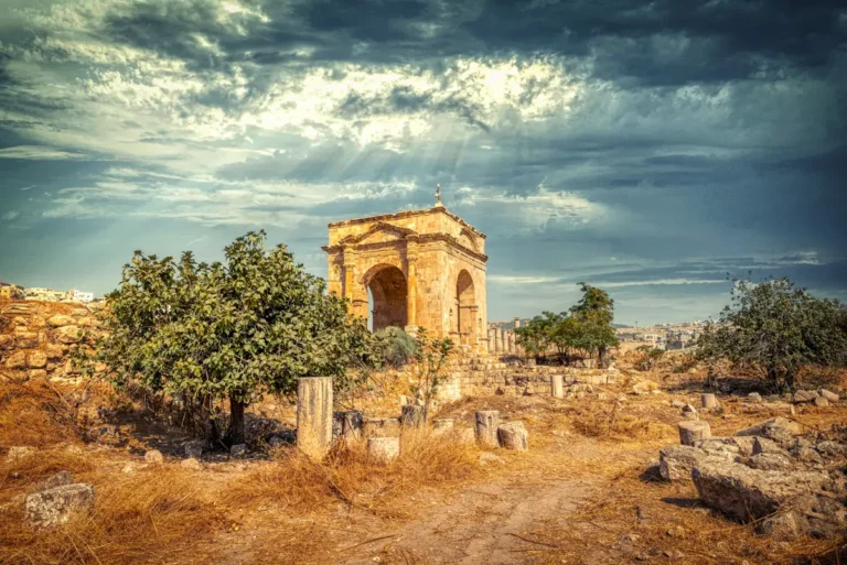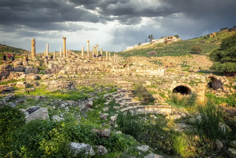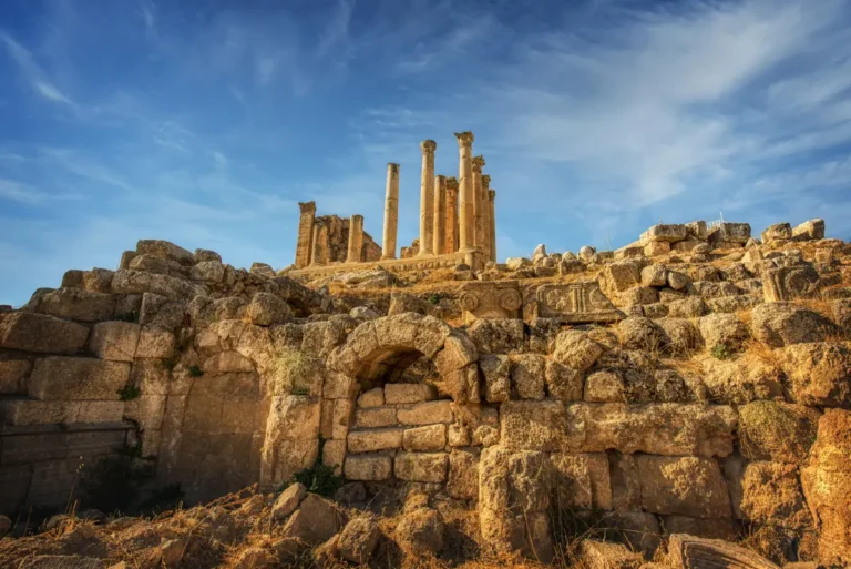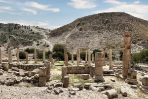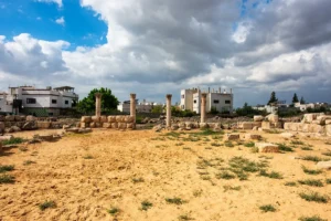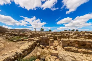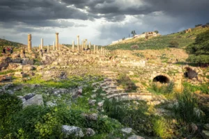
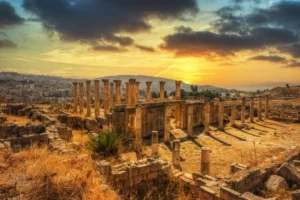
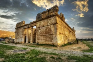
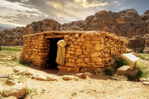
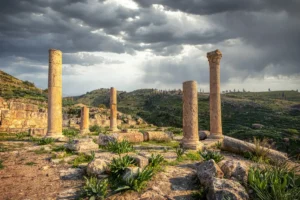
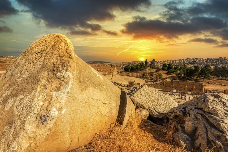
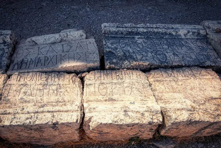

Jerash, ancient Gerasa, is one of the best-preserved Roman provincial cities in the world. Set in the hills of northern Jordan, it grew rich on trade and farming, was counted among the cities of the Decapolis, and later filled with churches. Its gates, colonnaded streets, theatres and temples can still be walked today, from Hadrian’s Arch to the North Gate.
Where Is Jerash?
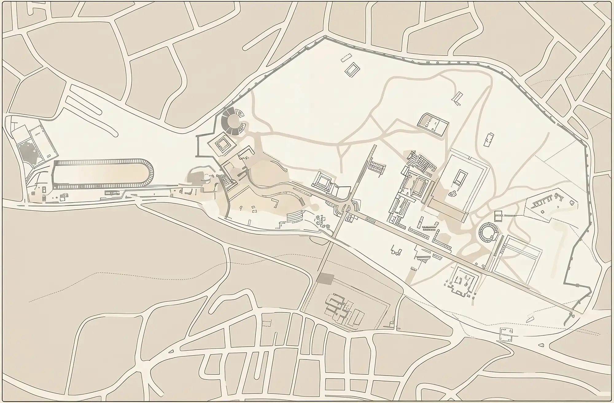
Jerash lies beside the modern town of the same name in the hills north of Amman, about 50 km from the capital and roughly an hour by road. The ancient city spread across both banks of a small stream, and the archaeological park covers its western half; the modern town stands over the eastern half. The ticket office and Visitor Centre are at the south end, between Hadrian’s Arch and the South Gate.
Historical Context and Origin
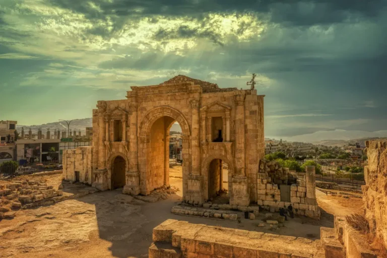
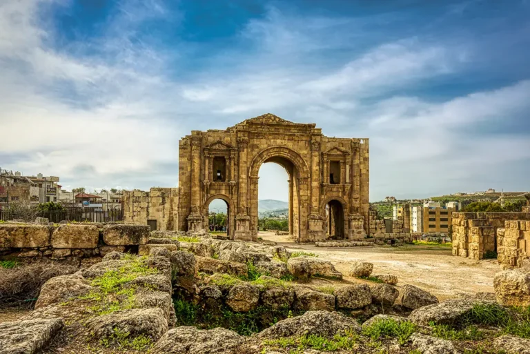
People lived in the Jerash area from the Neolithic period, but the city’s story begins in the Hellenistic period, when a Greek town called Antioch on the Golden River stood here. The Romans arrived with Pompey in 63 BC, and Gerasa became one of the cities of the Decapolis. After the annexation of the Nabataean kingdom in AD 106 it belonged to the province of Arabia, and the trade routes and fertile land around it made it rich. Emperor Hadrian spent the winter of AD 129–130 in the city, and the arch outside its south wall was raised in his honour.
Architectural Design
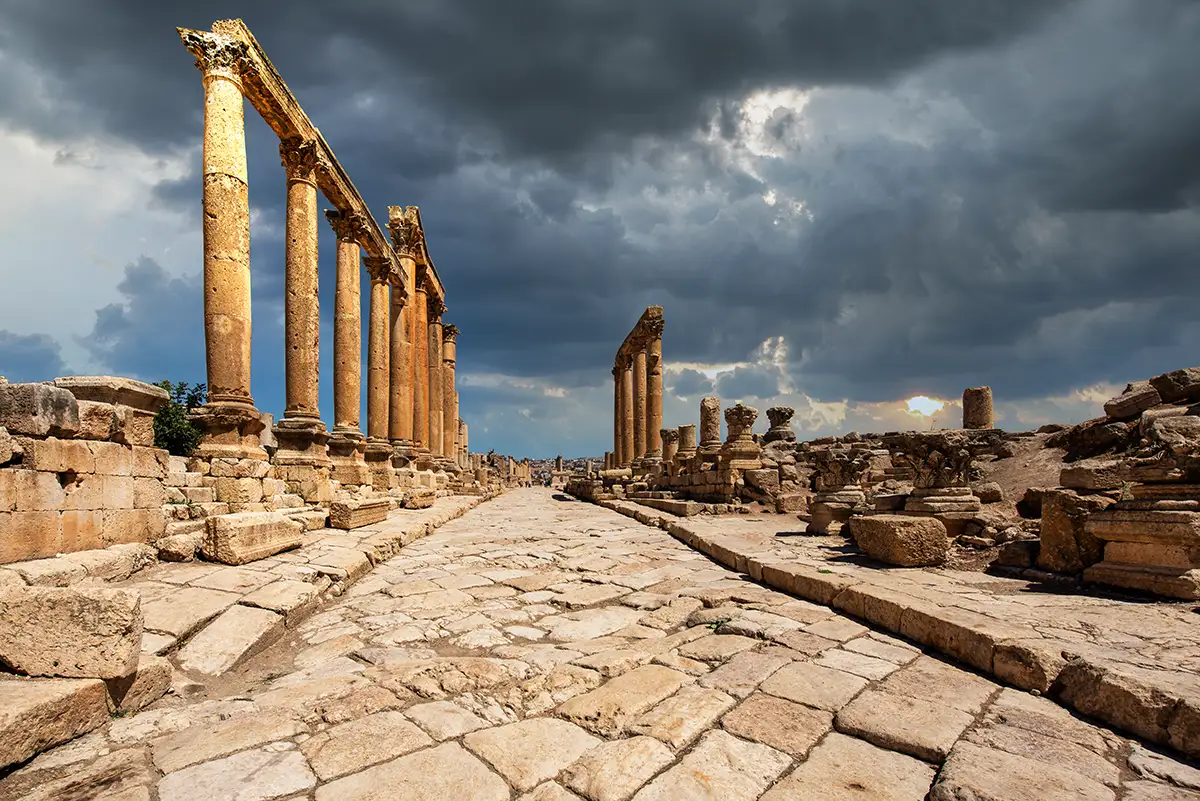
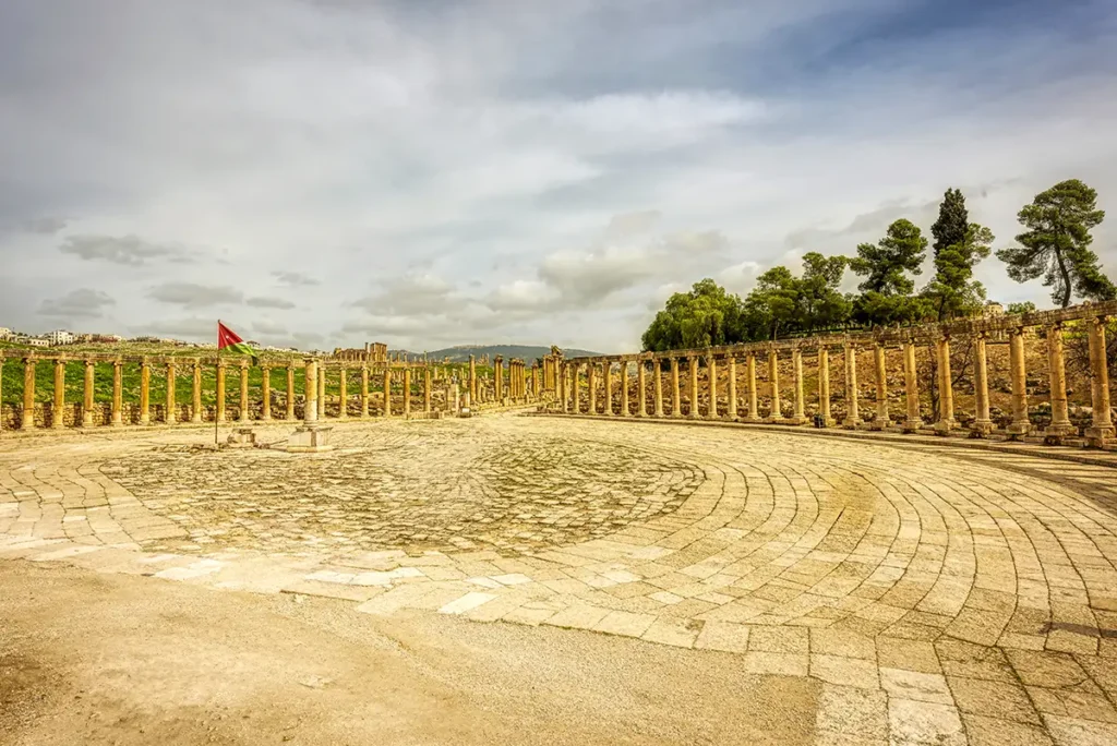
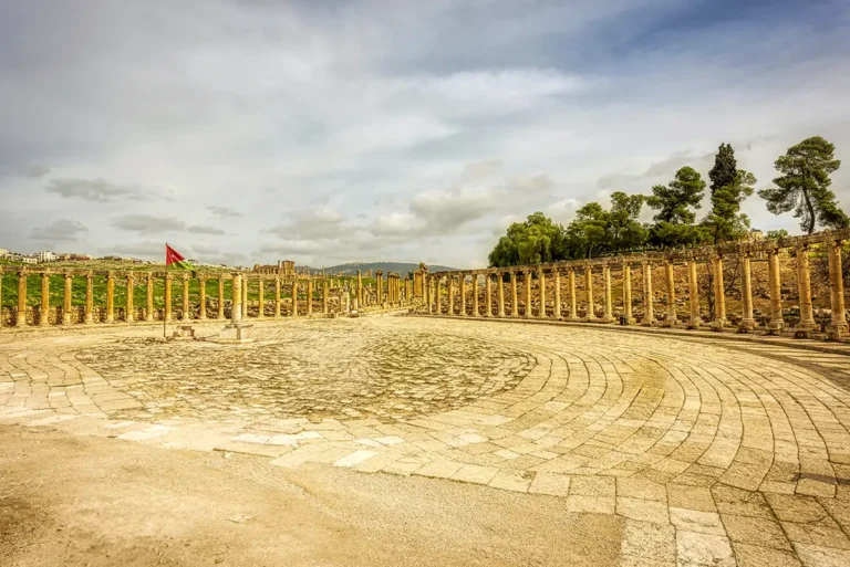
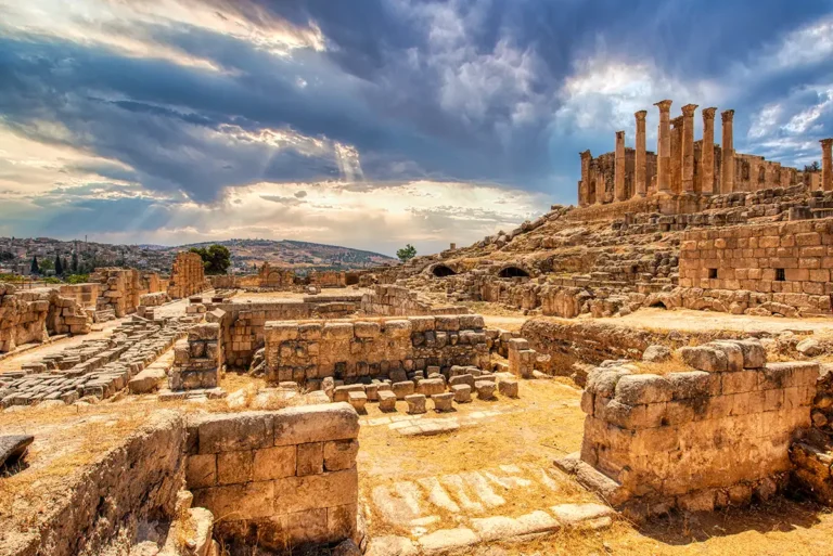
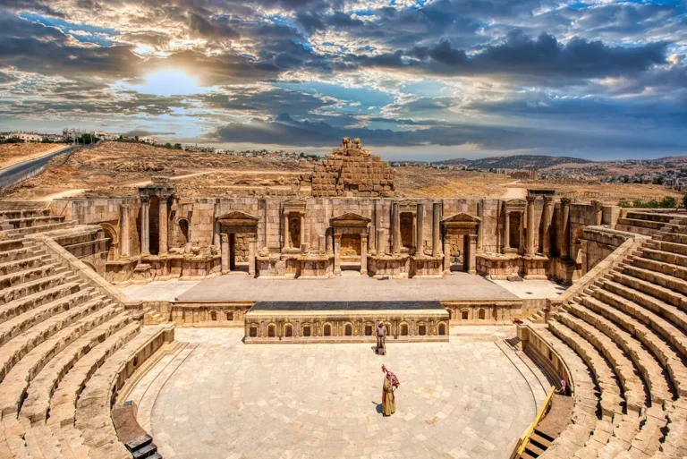
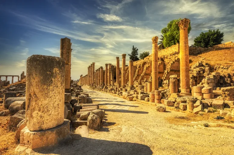
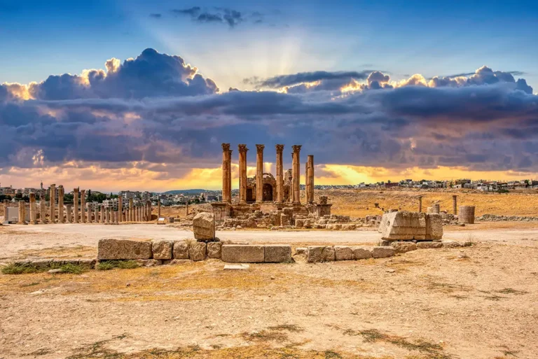
Gerasa was laid out on a grid around a long main street, the Cardo, about 800 m long and lined with columns, running from the South Gate to the North Gate. Cross streets met it at two tetrapyloi. Near the south end, the oval plaza opens below the Sanctuary of Zeus and beside the South Theatre. Further north, a broad stair climbs from the Cardo to the Sanctuary of Artemis, with the Nymphaeum, baths and the Cathedral close to the street.
Hadrian’s Arch
A triumphal gateway raised for the emperor’s visit in AD 129–130, standing outside the south wall.
The Oval Plaza and Cardo
An oval forum opens onto the colonnaded main street, about 800 m long, that runs to the North Gate.
Temples of Zeus and Artemis
Two great sanctuaries, the first above the plaza and the second at the top of a broad stair from the Cardo.
Theatres and Churches
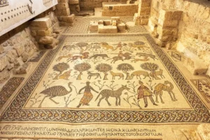
Two theatres and more than a dozen Byzantine churches, many with mosaic floors.
The Monuments of Jerash
Jerash has 34 monuments with their own profile on this site, from Hadrian’s Arch in the south to the North Gate, each with a plan, photographs and, in most cases, a 360° view. A selection is shown below; the full list follows the order of our walking route.
Jerash, monument by monument
From Roman City to Umayyad Town
In the 4th to 6th centuries Gerasa became a Christian city, and churches were built across it, many of them reusing stone from the older temples. The city passed to the Muslim armies in the 630s and continued to thrive under the Umayyads, who added a mosque and houses beside the old streets, until the earthquake of AD 749 brought much of the town down.
Rediscovery and Restoration
After the earthquake the city shrank to a small settlement, and its ruins were first described for Europeans by the German traveller Ulrich Jasper Seetzen in 1806. Systematic excavation began in the 1920s, and Jordanian and international teams have worked here ever since, so that Jerash is now among the most extensively explored Roman sites in the Middle East.
Visiting Jerash Today
Admission is 10 JOD for visitors and 0.50 JOD for residents, the ticket includes the Archaeological Museum, and the site is part of the Jordan Pass. The park is open daily, from 8:00 to 16:00 in winter and until 18:30 in summer. Allow about three hours for the main route from Hadrian’s Arch to the North Gate, and a full day for the museum and the quieter monuments. Spring and autumn are the best seasons; in summer, start early, since there is little shade. See our Jerash travel guide for practical details.