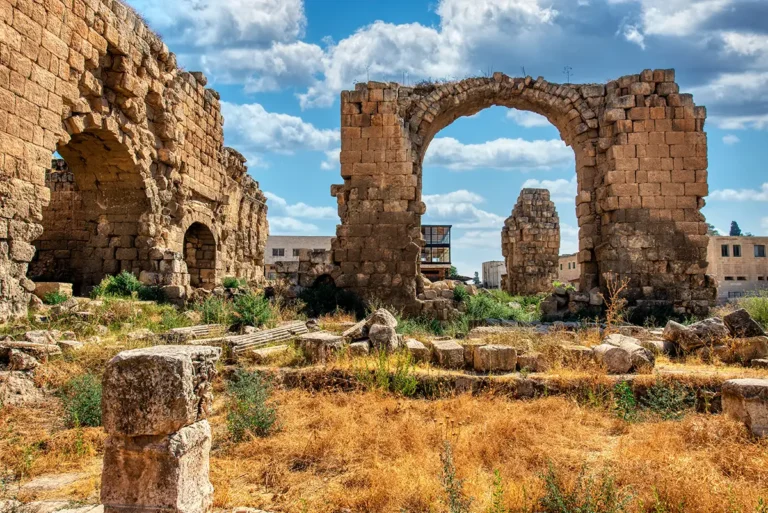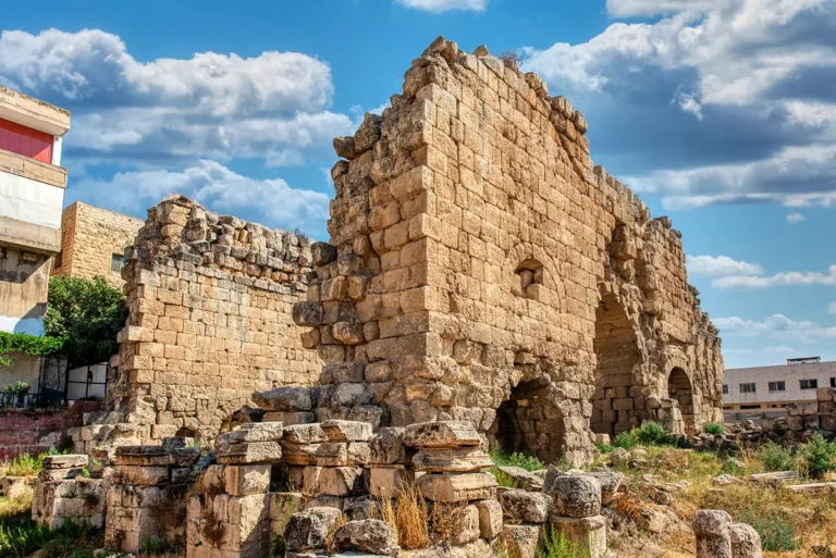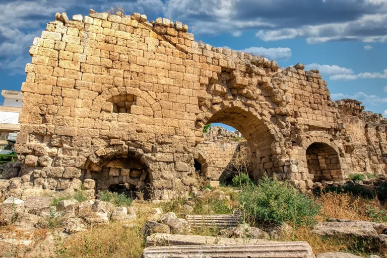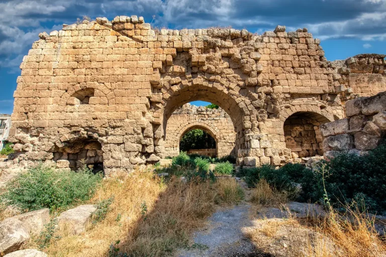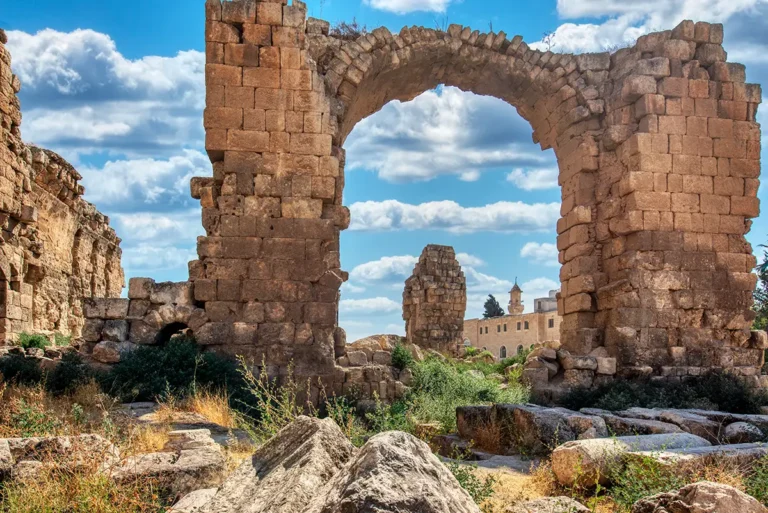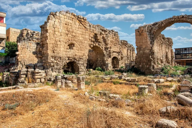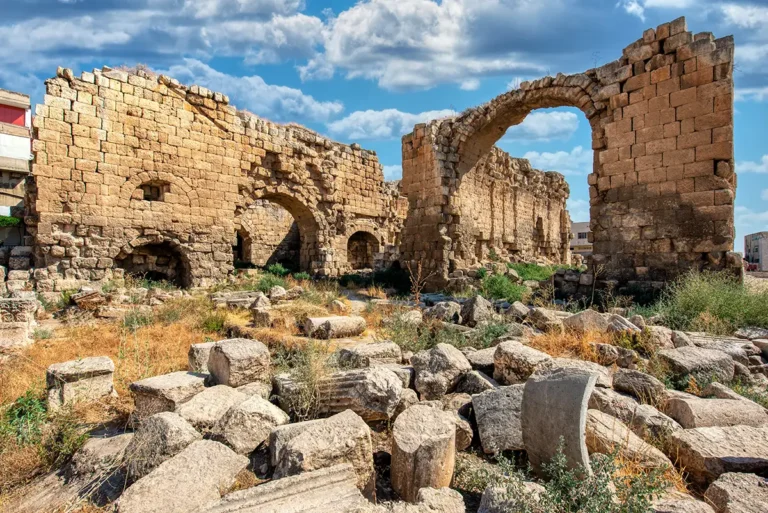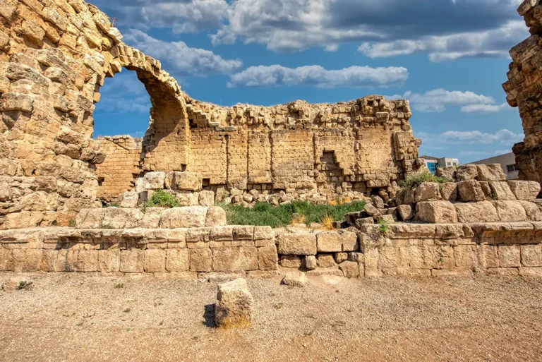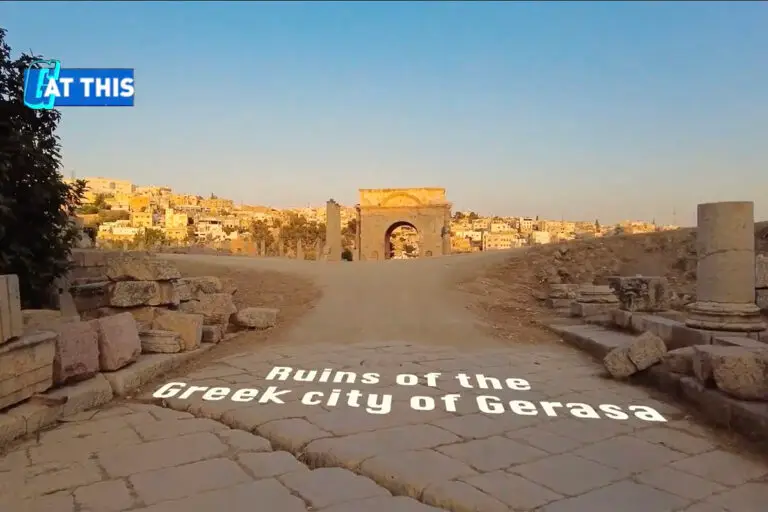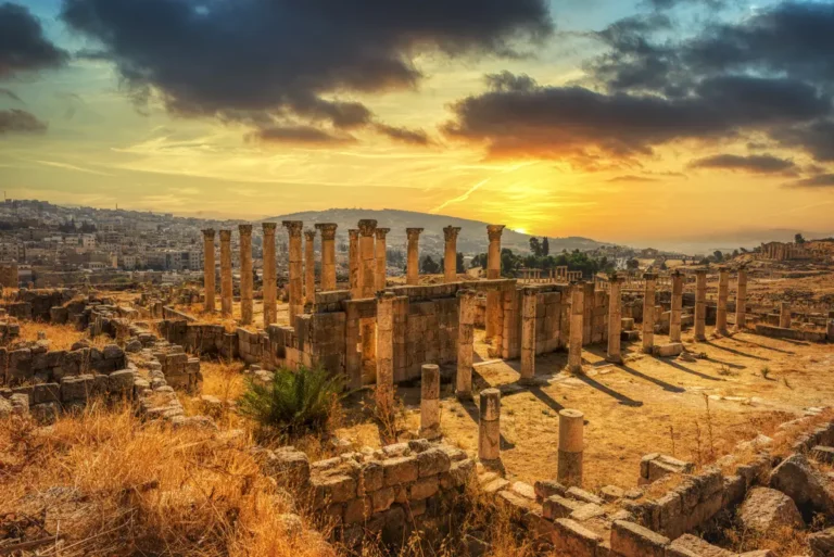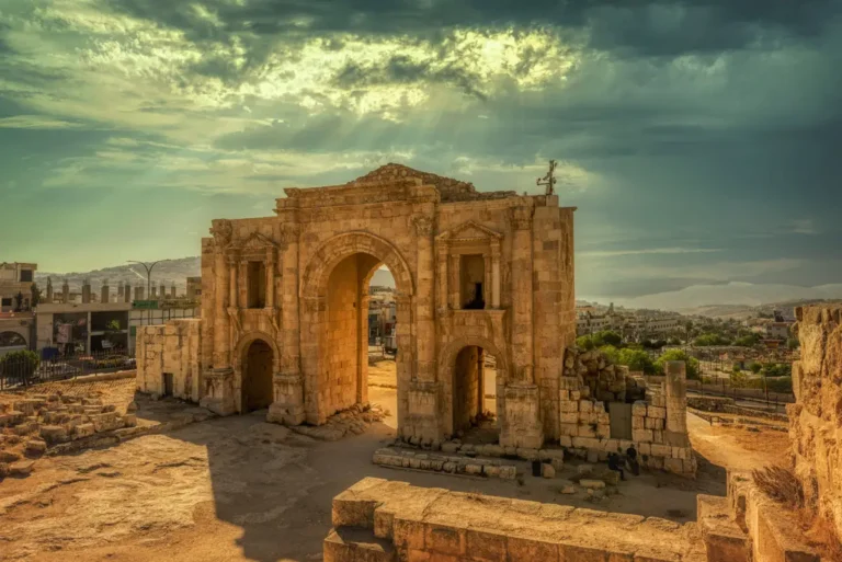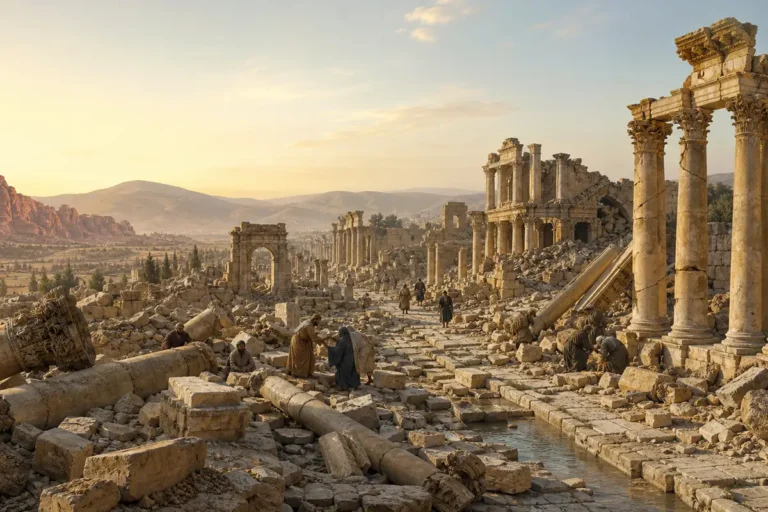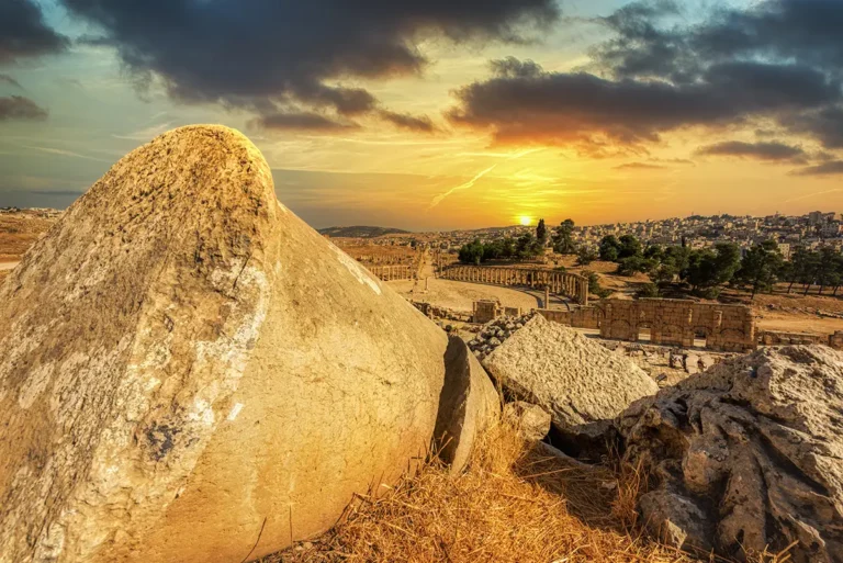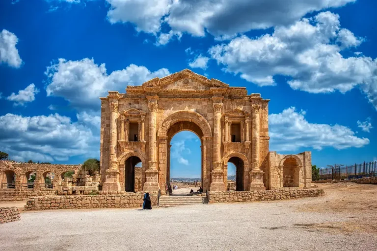
The Great East Baths and South Bridge reveal a side of Jerash that is easy to miss when following the usual route through the Cardo Maximus, Oval Plaza and temples. Together, they show how Roman Gerasa expanded across the Wadi Jerash—known in antiquity as the Chrysorrhoas—and turned water, topography and movement into an ambitious urban landscape.
The Great East Baths were among the largest bath complexes in the city and the only major Roman-period monument erected on the eastern bank of the wadi. Nearby, the South Bridge carried the South Decumanus across the river valley, connecting the civic heart of the city with its eastern residential areas and major water sources.
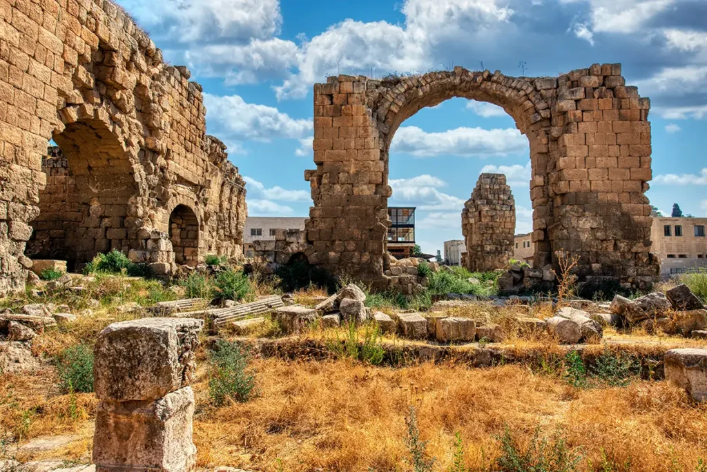
This is not a single neat monument. It is a large, partly excavated archaeological zone whose remains are scattered, altered and interrupted by the modern city. But that is precisely what makes it fascinating: here, Roman public bathing, bridges, springs, streets and modern Jerash meet at the edge of the ancient city.
The Great East Baths & South Bridge at a Glance
Location: Jerash Archaeological Park, Jordan (eastern bank of the Wadi Jerash / ancient Chrysorrhoas)
Built date: Large complex principally developed in the 3rd century AD
Purpose: Roman public bath complex
Bath complex size: Approximately 22,000 m²
Bathing suite: Around 30 rooms, with auxiliary rooms around outer courts
Water source: Close to the important Ain Qairawan spring
South Bridge: Roman bridge on the South Decumanus route
Bridge length: Approximately 73 metres including its approaches
Key features: Vaulted halls, pool, Corinthian porticoes, heating rooms, bridge arches and water infrastructure.
First Impressions
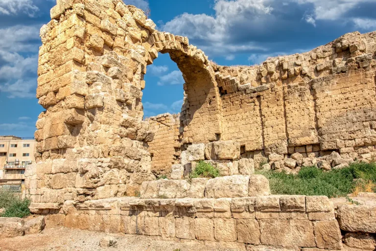
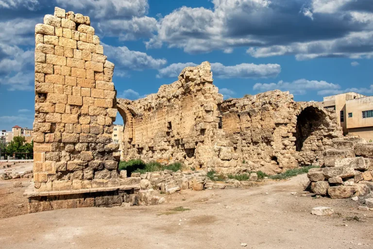
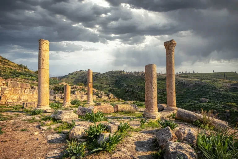
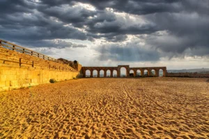
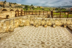
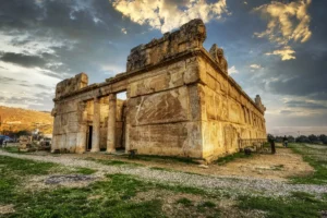
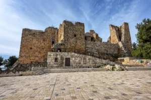
The Great East Baths do not look like a conventional Roman bathhouse at first glance. Instead of a complete façade or a clearly preserved sequence of rooms, visitors encounter broad stretches of masonry, vaults, excavated chambers and substantial stone walls on the eastern side of the wadi. The scale is the first thing that stands out: this was not a neighbourhood bath, but a major civic complex designed to impress.
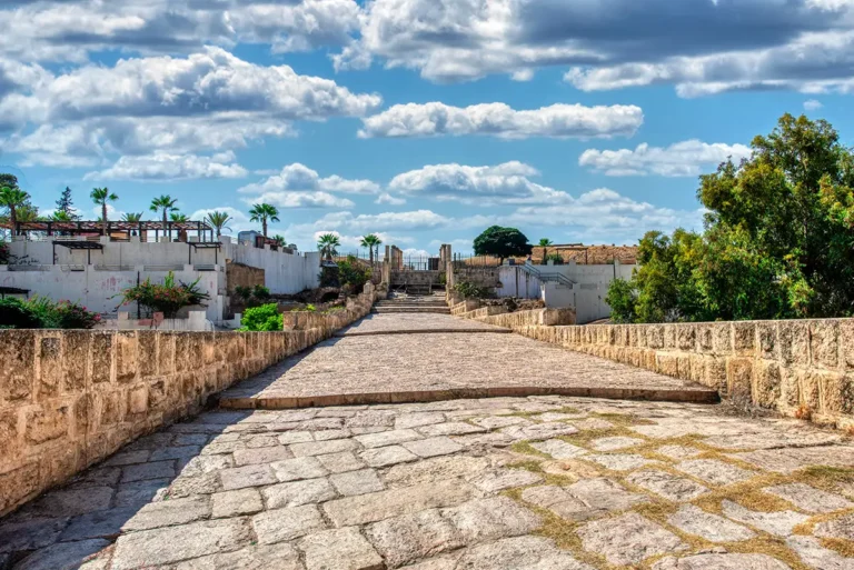
The South Bridge offers a different experience. It is a route rather than an enclosed monument—a reminder that ancient Jerash was divided by a valley and depended on engineered crossings to remain connected. From the bridge and its approaches, the relationship between the western archaeological park, the river corridor and the eastern city becomes immediately clear.
Together, the baths and bridge create one of the most atmospheric parts of Jerash. They are less polished than the Oval Plaza or South Theatre, but they reveal the city as a functioning urban system: people crossed the wadi, collected water, entered bathhouses, exercised, socialised and moved between residential districts and the monumental centre.
Where Are the Great East Baths & South Bridge?
The Great East Baths stand on the eastern bank of the Wadi Jerash, close to the Ain Qairawan spring and between the exits of the ancient bridges that crossed the river. The complex is exceptional because most of the monumental Roman city lies on the western side of the wadi, while the baths occupy a prominent eastern position.
The South Bridge lies on the route of the South Decumanus, the east–west street that met the Cardo Maximus at the South Tetrapylon. It carried traffic and pedestrians down the slope, over the Chrysorrhoas and toward the eastern quarters of Gerasa.
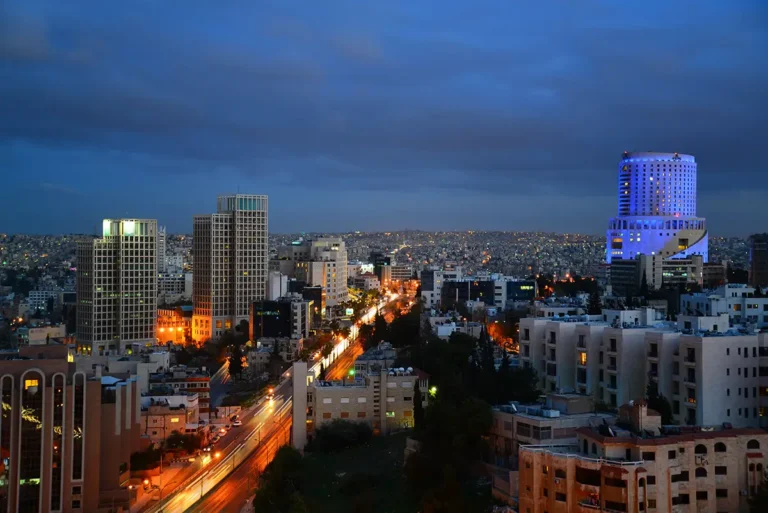
Today, parts of the ancient route are affected by modern development, but the surviving bridge and bath ruins still make the original urban geography understandable.
A Monumental Roman Bathhouse
The Great East Baths were one of the largest bath complexes in Jerash, covering approximately 22,000 square metres. The bathing suite included around 30 rooms, with auxiliary rooms arranged around outer courtyards. This immense footprint indicates a major public facility, capable of serving large numbers of residents and visitors.
The complex was developed principally in the third century AD, at a time when Gerasa was prosperous, densely built and deeply integrated into the urban culture of the Roman East. A public bathhouse of this size was not simply a place to wash. It was a civic institution: a place for bathing, exercise, socialising, business, rest and display.
Its placement near a major spring was deliberate. Roman bathhouses consumed large quantities of water, and Ain Qairawan gave the complex access to a dependable supply at the eastern edge of the city.
How a Roman Bathhouse Worked
A large Roman bathhouse generally guided visitors through a carefully controlled sequence of spaces. Although the precise route through every room of the Great East Baths is not fully understood, the complex would have included variations of the standard Roman system:
Apodyterium: changing space where visitors left clothing and personal belongings.
Frigidarium: cold room, often containing cold-water basins.
Tepidarium: warm intermediate room, preparing the body for hotter bathing.
Caldarium: hot room, heated by furnaces and underfloor hypocausts.
Palaestra or exercise court: open or semi-open area for physical activity and social gathering.
Service rooms: spaces for furnaces, fuel, water management, maintenance and staff.
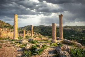
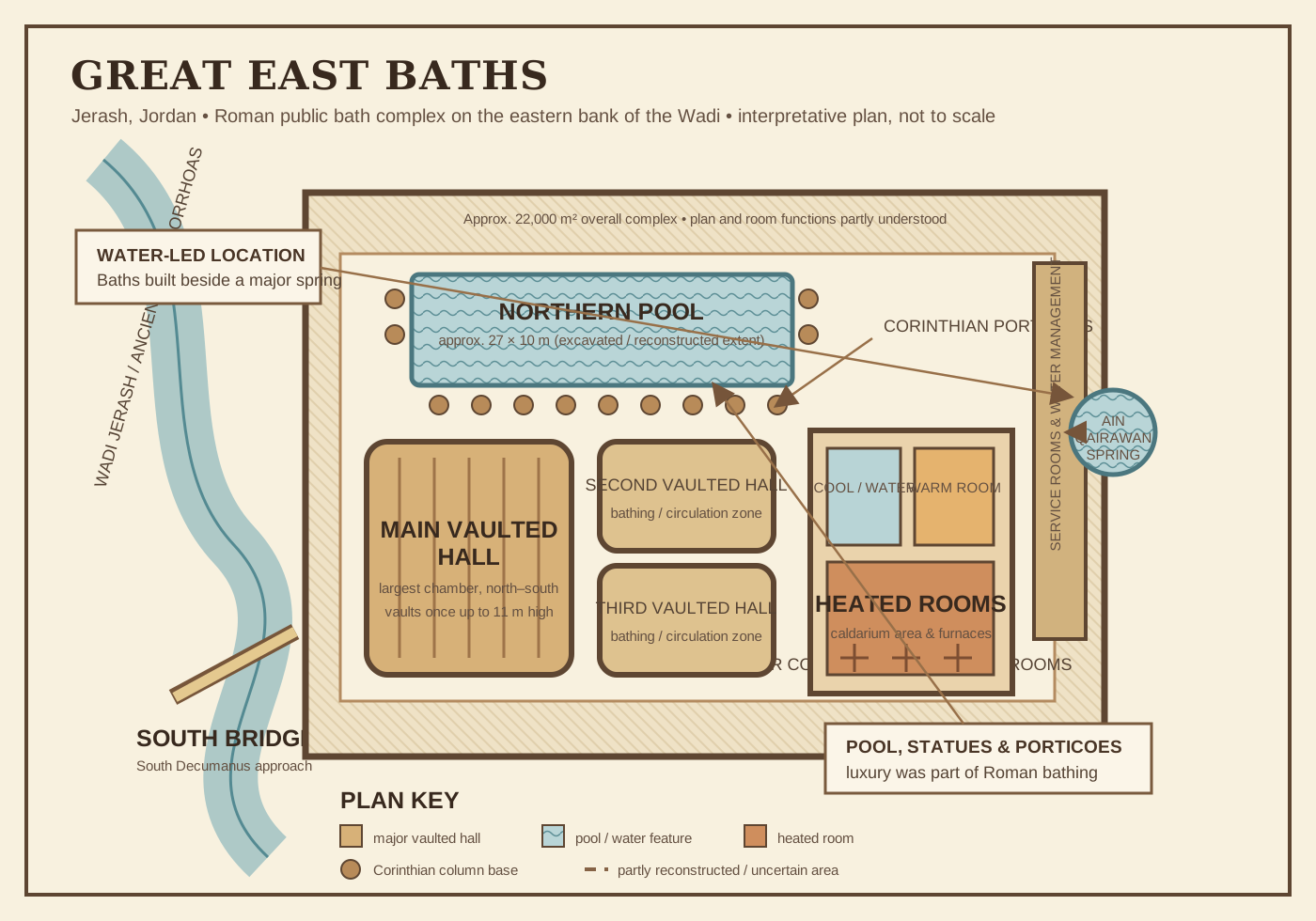
The Great East Baths were designed on a monumental scale. Archaeological evidence indicates vaulted principal chambers, while later excavation uncovered a pool at the northern end of the complex extending into the northeastern hall. The pool was surrounded by porticoes carried on Corinthian columns, and excavators found columns, capitals, horizontal architectural elements and statues nearby.
Vaulted Halls and the Northern Pool
The bathhouse had three principal vaulted chambers, with the largest extending north–south on its western side. Such vaulted spaces created impressive interiors while allowing Roman builders to roof large rooms in stone and concrete.
Excavations in 2017–2018 revealed a water pool in the north of the bathhouse. This discovery adds an important dimension to the site: the baths were not only a maze of heated and service rooms, but also included a monumental water feature surrounded by Corinthian porticoes.
The combination of pool, columns and statues would have transformed a practical bathing complex into an architectural spectacle. Roman public baths were deliberately beautiful. Marble, painted plaster, carved capitals, statues and moving water all helped make civic bathing an experience of comfort and prestige.
Water, Springs and the Chrysorrhoas
Water was the foundation of the Great East Baths. The complex stood close to Ain Qairawan, one of the important springs feeding the city’s water network. Its location beside the wadi also made drainage possible, although controlling water on a sloping, seasonal river valley required careful engineering.
The ancient Chrysorrhoas was not merely a natural obstacle dividing the city. It was part of Gerasa’s infrastructure: a source of water, a drainage route, a landscape feature and a boundary that Roman engineers crossed with bridges and approached through graded streets.
The baths, bridge and spring should therefore be understood as one connected system. The bridge made movement possible; the spring supplied water; the wadi carried excess water away; and the bathhouse converted that water into one of the city’s grandest public amenities.
South Bridge: Crossing the Wadi
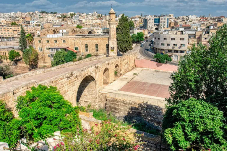
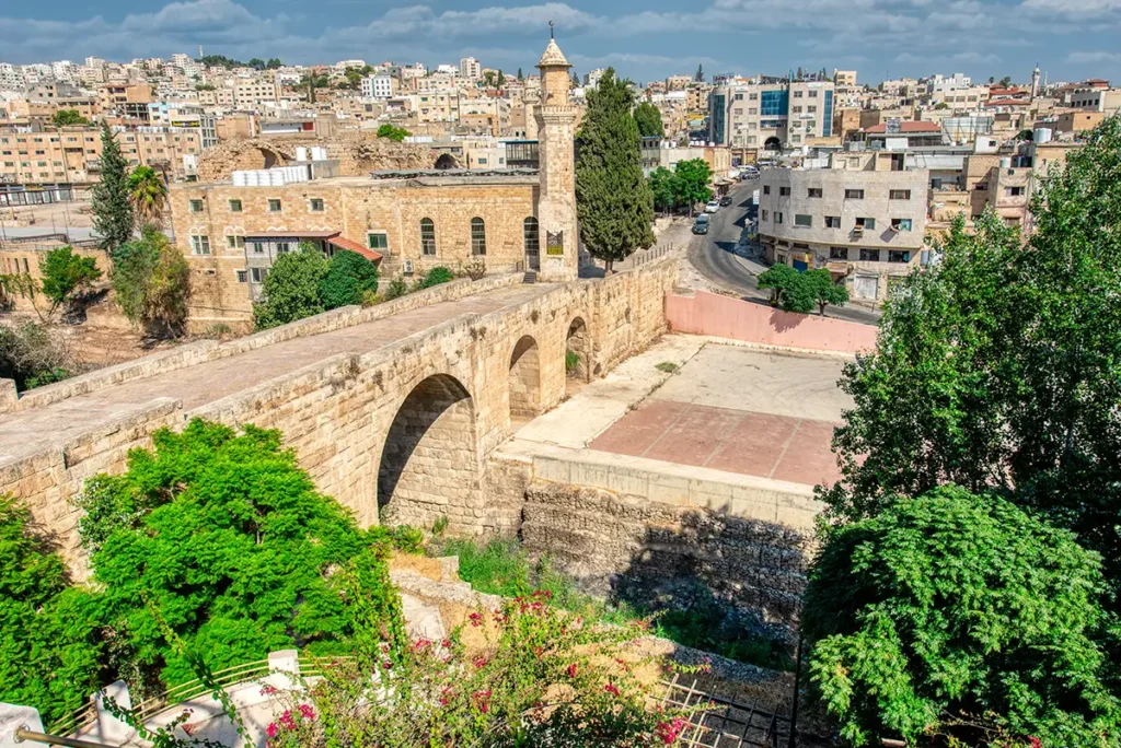
The South Bridge carried the South Decumanus across the Chrysorrhoas. It linked the western civic and ceremonial core of Gerasa with the eastern side of the valley, where residential areas, springs and the Great East Baths stood.
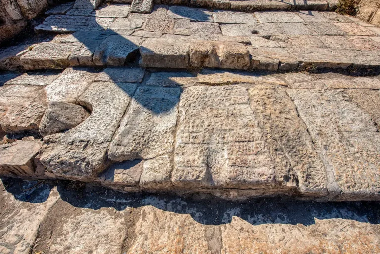
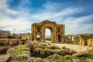
The bridge had three supporting arches and measured approximately 73 metres in length when its approaches are included. The South Decumanus descended the valley as a broad ramp, adapting to the slope of the terrain before crossing the river. Its colonnades also followed the incline, producing a rare visual effect: instead of maintaining a perfectly level horizontal entablature, the architecture stepped and sloped with the landscape.
This was more than a practical crossing. It was a designed urban transition. Travellers moving east or west passed between the dense, paved city and the open river valley, with the bridge acting as both infrastructure and civic monument.
The South Decumanus Connection
The South Decumanus began at the South Tetrapylon, where it crossed the Cardo Maximus. From there it ran eastward toward the South Bridge and the eastern districts. The route was part of the city’s original street plan and was reshaped in the Roman imperial period, probably around AD 170.
For visitors, following the South Decumanus helps explain why the South Tetrapylon was so important. It was not an isolated decorative monument: it marked the crossing of the city’s north–south main street with a major east–west route that led directly to the wadi and bridge.
The road also connected the South Gate area, the city centre and the eastern bank. In Roman Gerasa, streets, bridges and monuments formed a continuous choreographed sequence rather than separate attractions.
Later Reuse, Collapse and Loss
The Great East Baths have survived unevenly. Their size, valuable stone and location near the modern city made them a source of reusable building material for generations. Much of the original plan is therefore obscured by collapse, spoliation and later construction.
Archaeological evidence also points to later reuse of parts of the complex after the Roman bathhouse had ceased to function. This is common at Jerash, where abandoned temples, theatres, baths and public buildings were adapted for workshops, housing, storage or building material.
The South Bridge, too, has experienced repair and reconstruction. Its modern condition should be read as a combination of ancient Roman structure, later damage and conservation work, rather than as an untouched survival.
What to Look for During Your Visit
The scale of the bath complex: Stand back to appreciate how much ground the Great East Baths occupy.
Vaulted chambers: Look for surviving evidence of the large stone-roofed halls.
The northern pool area: Notice the excavated space associated with the pool and former Corinthian porticoes.
Column and capital fragments: These help reconstruct the luxurious appearance of the baths.
The relationship to Ain Qairawan: Consider how close access to spring water shaped the choice of site.
The South Bridge arches: Observe how the bridge carries the route across the wadi.
The sloping South Decumanus: Trace the descent from the South Tetrapylon toward the river valley.
Modern Jerash around the ruins: This eastern sector makes the overlap between ancient and modern city especially visible.
Practical Visiting Tips
The Great East Baths and South Bridge are best visited as part of a southern and eastern route: South Tetrapylon, South Decumanus, South Bridge, Great East Baths and the eastern edge of the archaeological zone.
Wear sturdy shoes, as the terrain is rough and the remains are less formalised than the main visitor route. Bring water and sun protection, especially in summer; the eastern side has limited shade. Give yourself time to examine the site from different angles, because the bathhouse makes more sense as a large landscape than as a single standing ruin.
Why the Great East Baths & South Bridge Matter
These monuments explain how Roman Jerash functioned beyond its grand central streets. The Great East Baths show the scale of public luxury that a prosperous provincial city could support. The South Bridge shows the engineering needed to unite a city divided by a river valley.
Together, they also reveal the importance of water. Gerasa’s springs, aqueducts, fountains, drains, bridges and baths were all part of one urban system. Without that system, the city’s theatres, temples, markets and churches could not have flourished.
For visitors, this area adds an essential chapter to the story of Jerash: not only the city of columns and monuments, but the city of infrastructure, movement, bathing and daily life.
Frequently Asked Questions
The Great East Baths were one of the largest Roman public bath complexes in Jerash. They provided spaces for bathing, exercise, relaxation, socialising and civic display.
The large bath complex was principally developed in the third century AD, during the Roman period, although its long history includes later alteration, reuse and stone removal.
The entire complex covered approximately 22,000 m², or about 236,800 square feet. It included around 30 bathing and auxiliary rooms arranged around courts and service areas.
The site stood close to Ain Qairawan, an important spring that could supply the huge volume of water required by a major Roman bathhouse. It was also positioned near ancient bridge crossings over the Chrysorrhoas.
Visitors can see substantial walls, vaulted chambers, architectural fragments and excavated areas of the complex. The northern pool area and traces of former Corinthian porticoes help indicate its original grandeur.
Excavations revealed a large rectangular pool in the northern part of the complex. It is estimated to have measured about 27 × 10 metres, or 89 × 33 feet.
The South Bridge carried the South Decumanus across the Wadi Jerash, linking the western civic centre of ancient Gerasa with the eastern bank, residential areas and the bath complex.
The bridge measures approximately 73 metres, or 240 feet, including its approaches. It had three supporting arches.
The bridge retains ancient Roman fabric but has been damaged, repaired and reconstructed over many centuries. Its present appearance should be understood as a combination of Roman structure and modern conservation.
Exit the Archaeological Park via the Visitor Centre and proceed to the bridge and the baths.
Key Moments in History
1st century AD: The South Decumanus was laid out as part of Gerasa’s early Roman street plan, creating an east–west route across the city.
Around AD 170: The South Decumanus was reshaped into its later monumental form, descending toward the Chrysorrhoas valley and the South Bridge.
Key Moments in History
1st century AD: The South Decumanus was laid out as part of Gerasa’s early Roman street plan, creating an east–west route across the city.
Around AD 170: The South Decumanus was reshaped into its later monumental form, descending toward the Chrysorrhoas valley and the South Bridge.
Roman imperial period: The South Bridge was built with three supporting arches, linking the western civic centre to the eastern bank, residential districts and spring-fed areas.
3rd century AD: The Great East Baths were principally developed as one of Jerash’s largest public bath complexes, occupying approximately 22,000 m².
3rd century onward: The baths operated as a major civic amenity, with roughly 30 bathing and auxiliary rooms, vaulted halls, courtyards and water facilities supplied by Ain Qairawan.
Roman period: A large northern pool and Corinthian porticoes added luxury and visual spectacle to the complex, turning bathing into a social and architectural experience.
Late antiquity: Parts of the baths were altered, reused and increasingly stripped of valuable architectural elements as the city’s needs changed.
Early Islamic period: The abandoned or altered complex continued to yield building stone; later structures were erected over parts of the Roman remains.
Centuries of damage and reconstruction: The South Bridge suffered collapse and repair, while the bath complex was heavily affected by spoliation, modern construction and incomplete excavation.
2017–2018: Excavations uncovered the northern pool area, portico remains, statues and architectural fragments, substantially improving understanding of the Great East Baths.