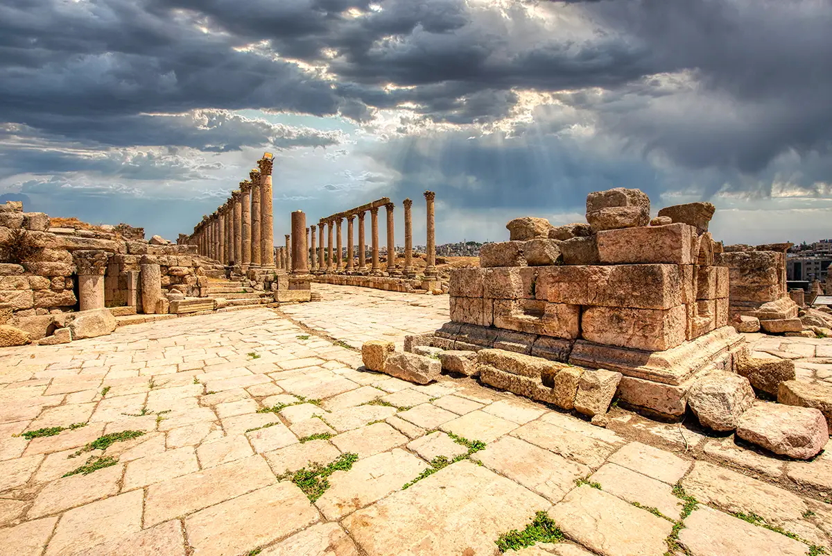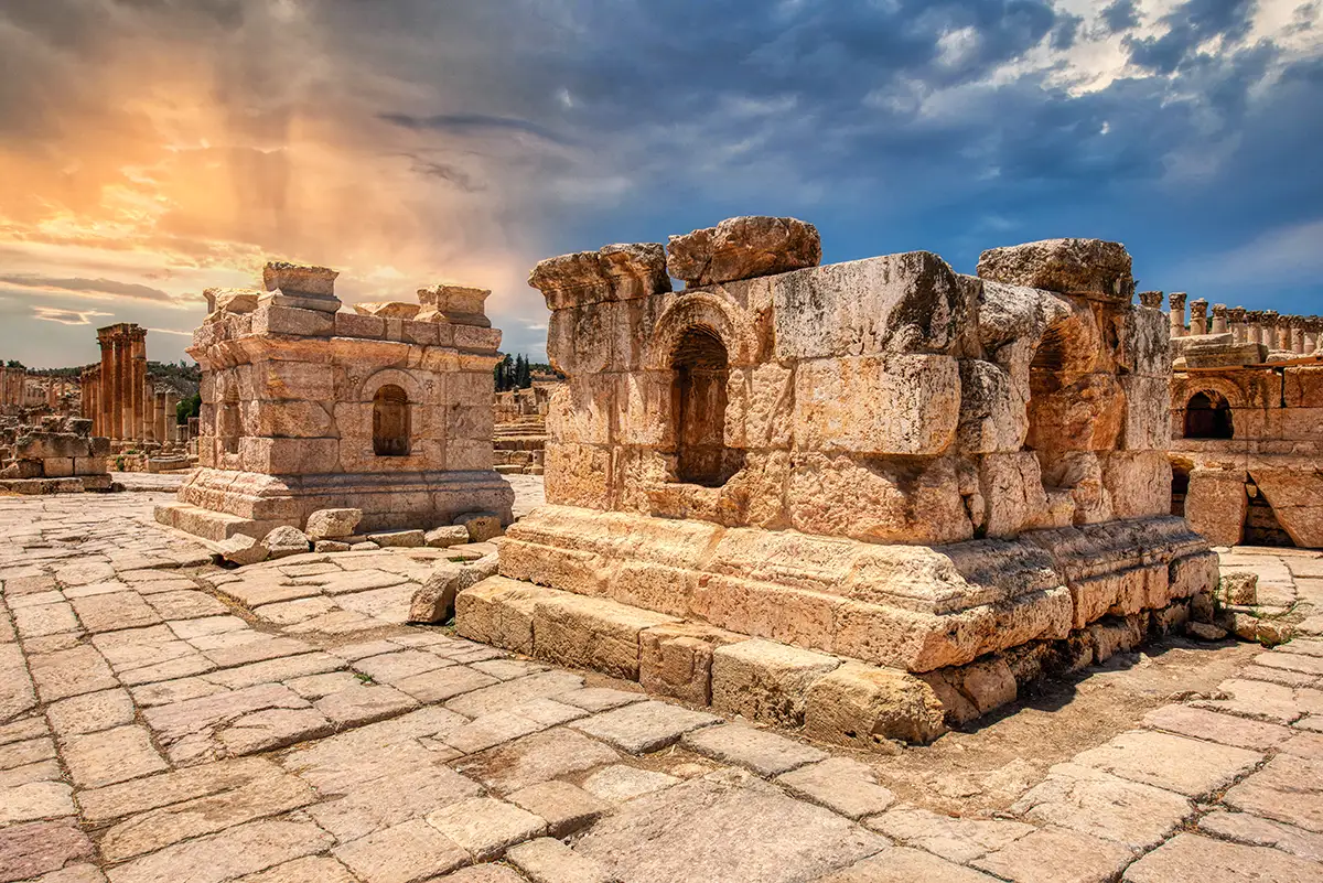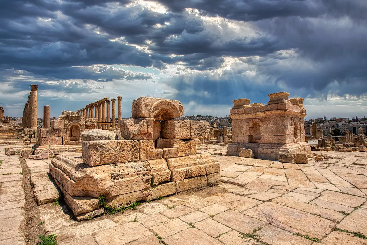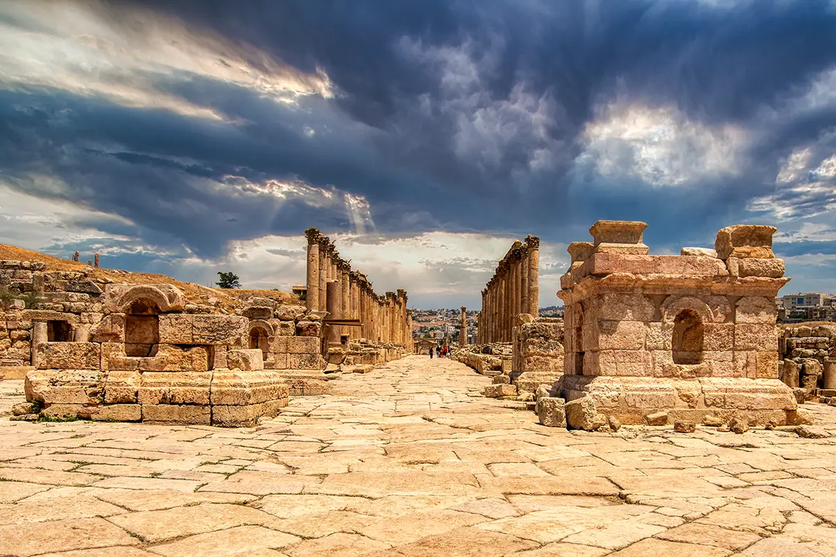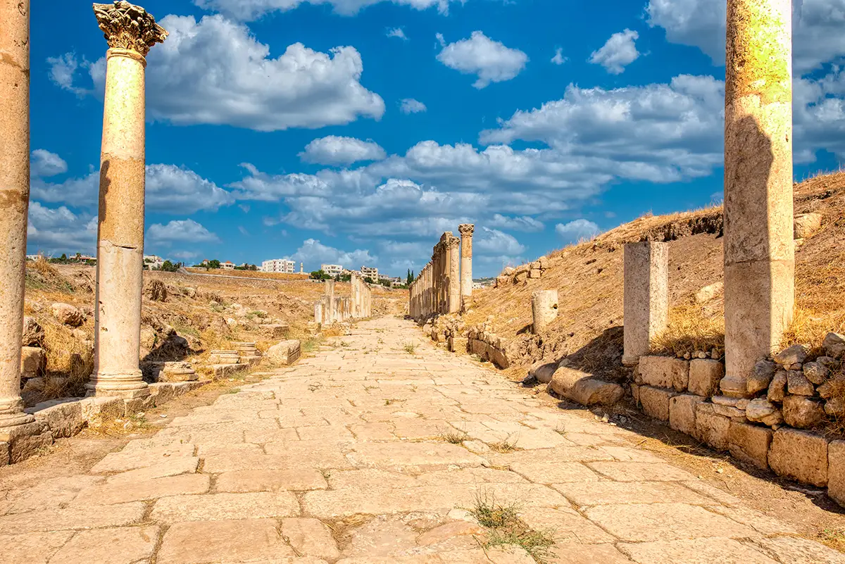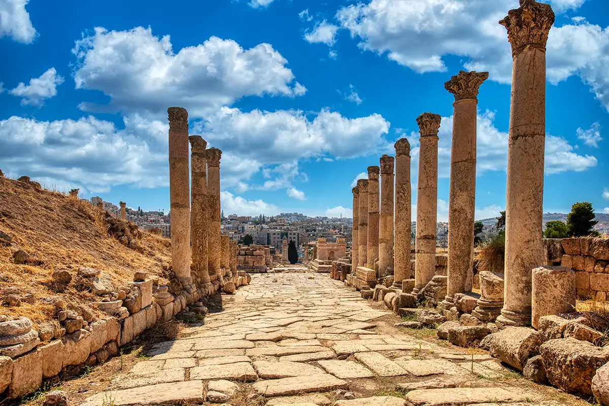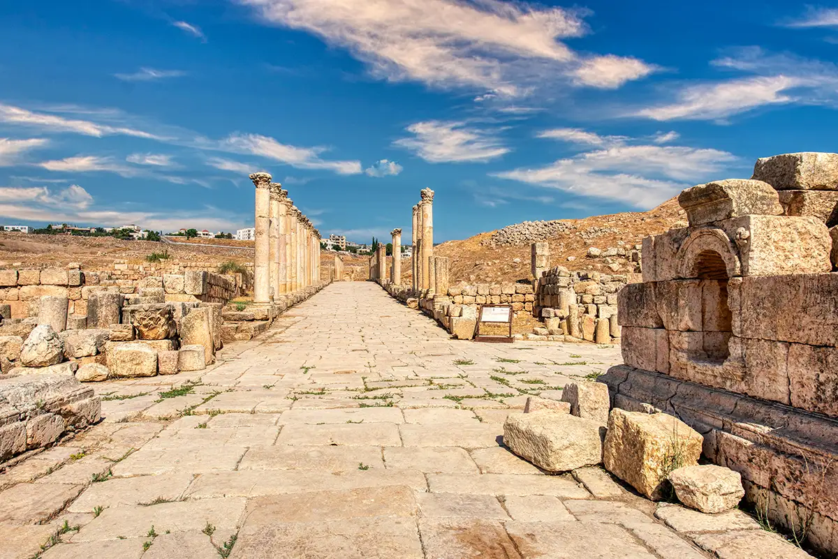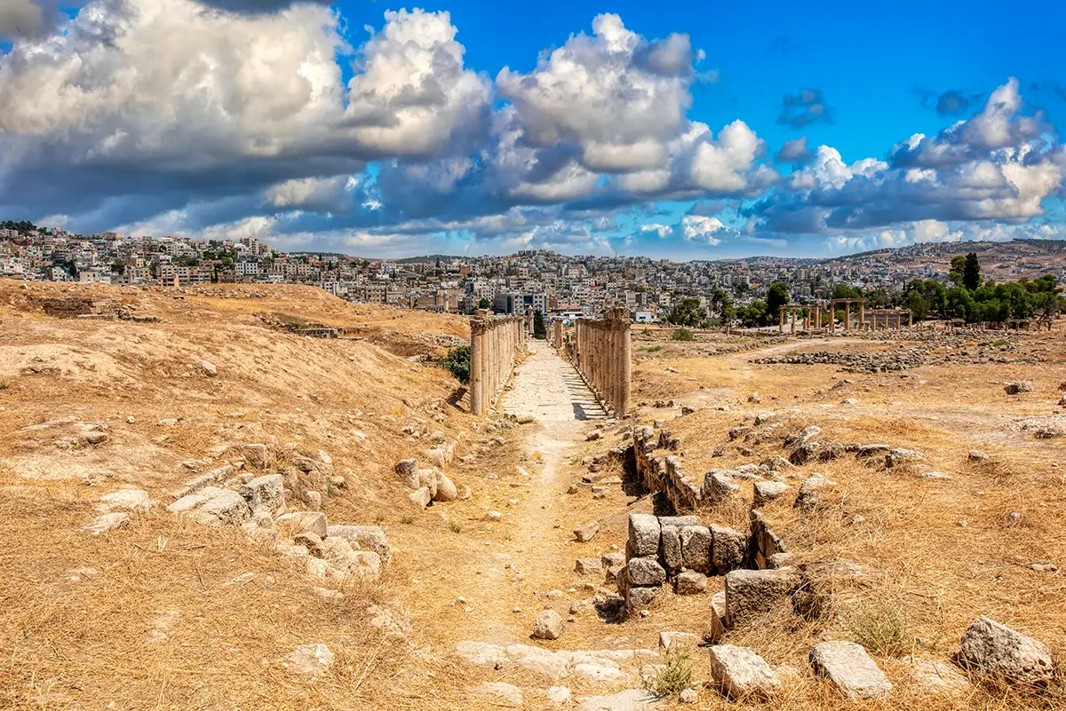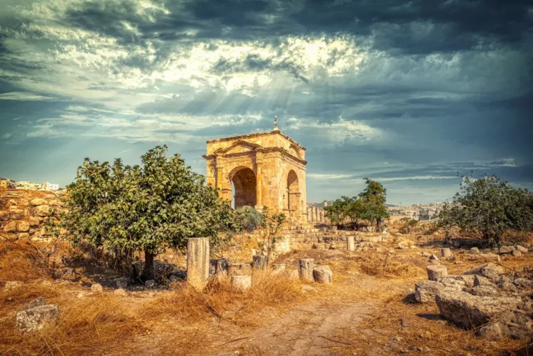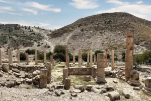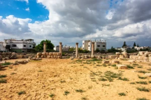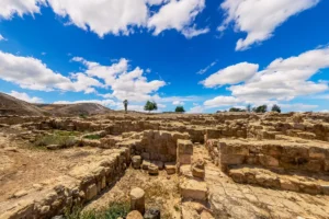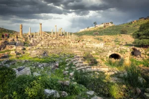
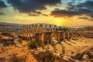
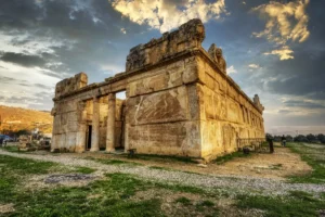

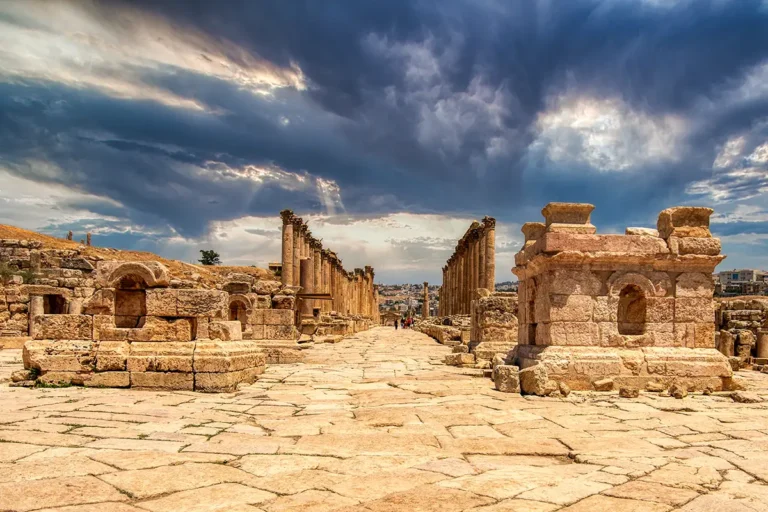
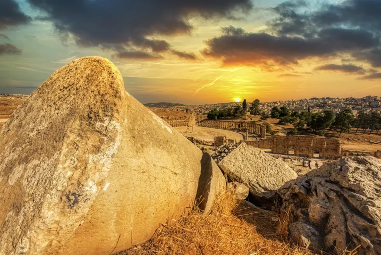

Where Gerasa’s main north–south street met an important east–west route, the city marked the crossing with a monument. The South Tetrapylon was not a single arch but four separate corner monuments around an open round plaza — a grand landmark in the busy market district just north of the Oval Plaza.
Where Is the South Tetrapylon?
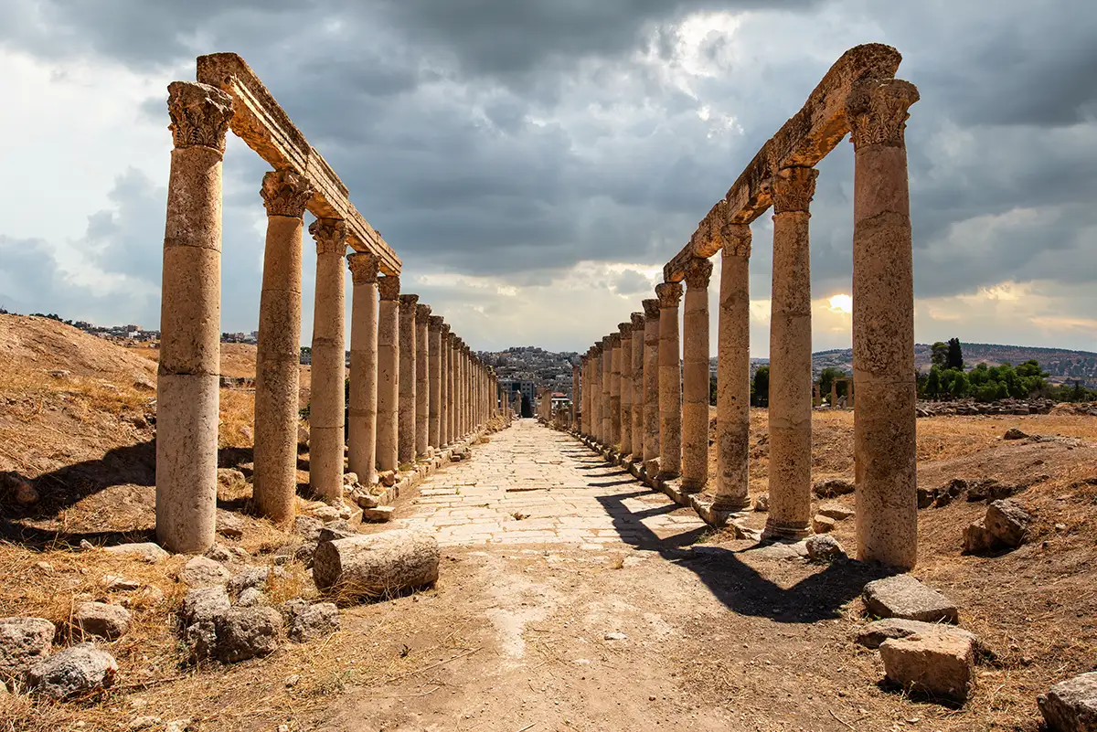
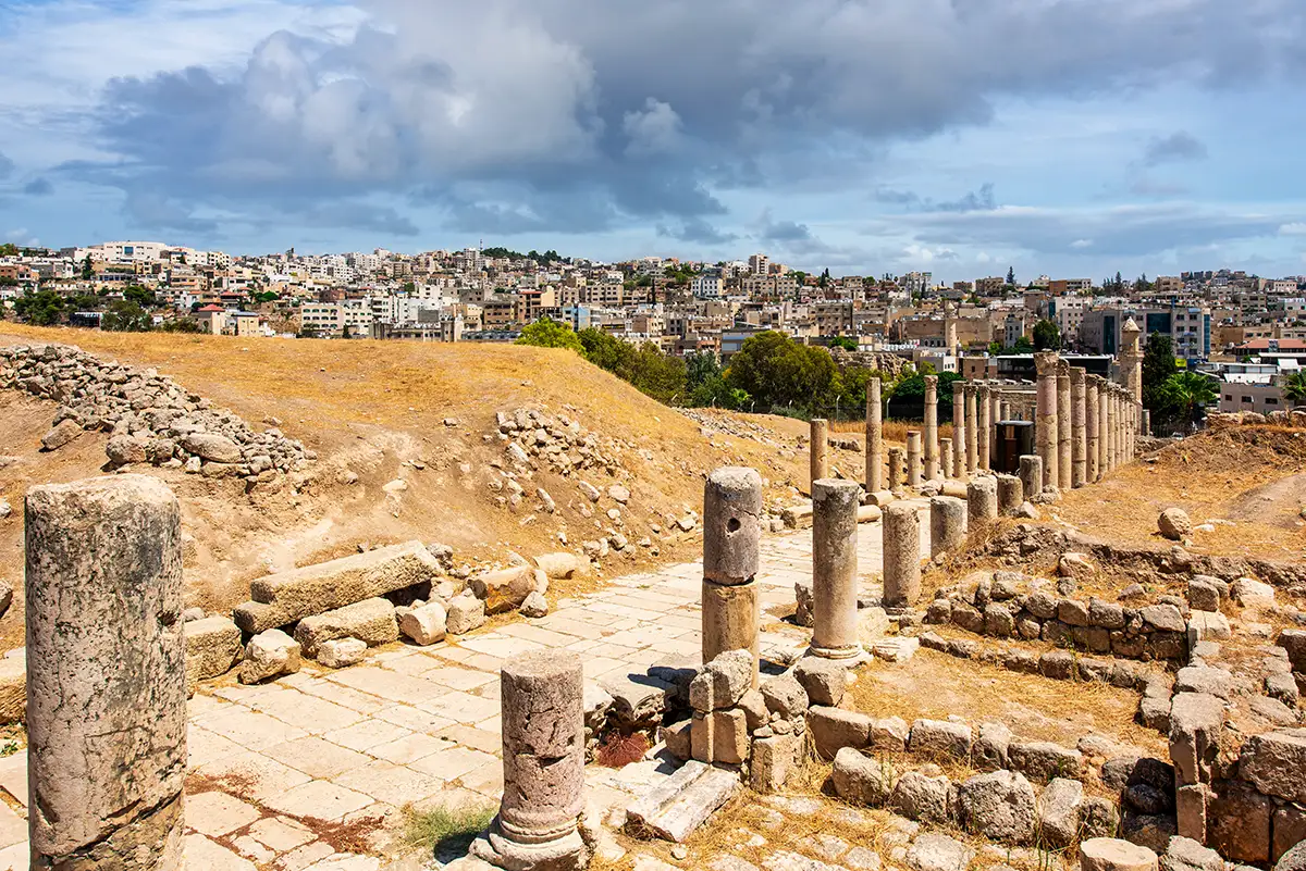
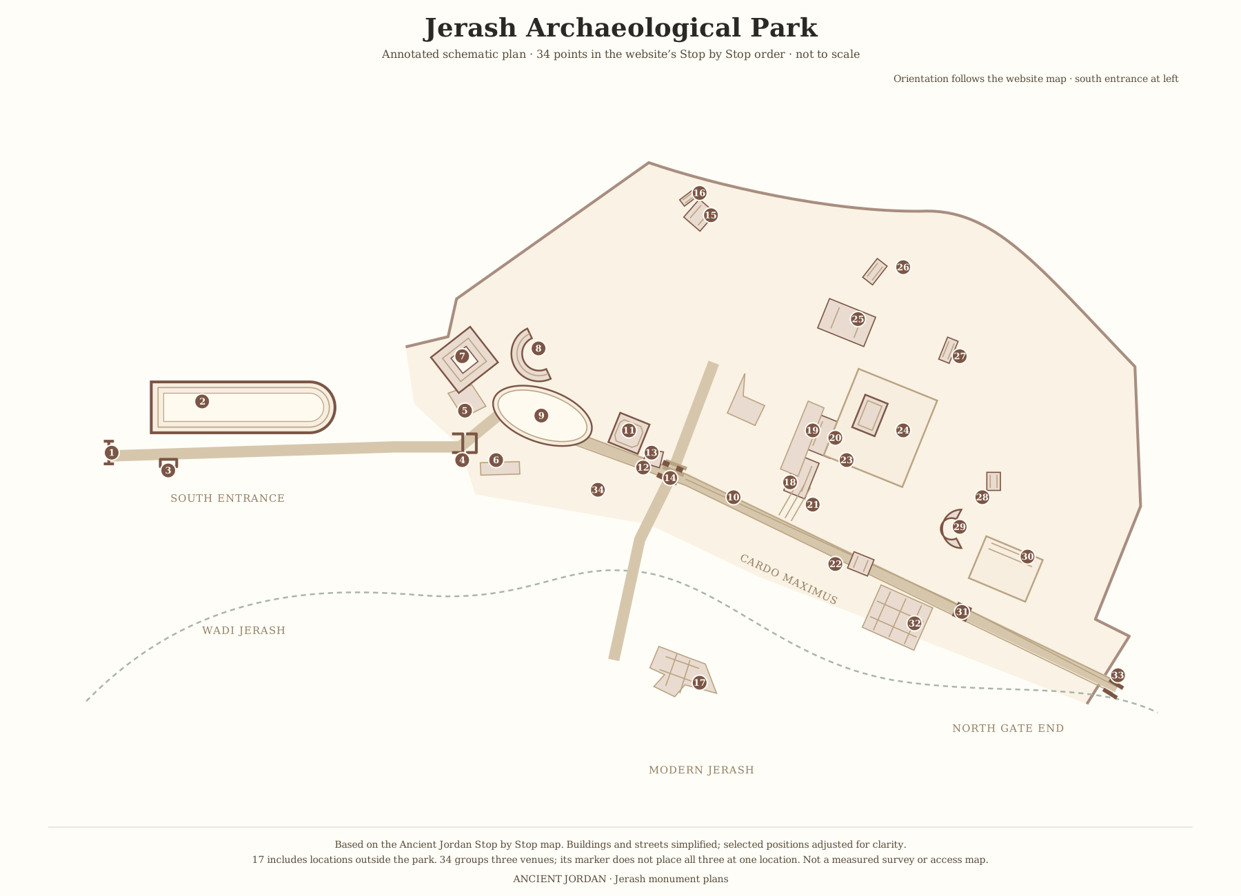
The crossing lies on the Cardo Maximus, a short walk north of the Oval Plaza, just past the Macellum. Here the South Decumanus crosses the Cardo, leading east towards the Wadi Jerash and west towards the Umayyad Houses.
It is worth comparing with the North Tetrapylon further up the Cardo, a single four-sided monument with passages through its centre.
Historical Context and Origin
In the early 2nd century AD the Cardo and the South Decumanus organised the southern district of the city. In the late 2nd or early 3rd century, four corner monuments — a tetrakionion — were added to mark the junction, some of their columns made of red granite from Aswan in Egypt. With the Macellum next door, the crossing became one of the busiest meeting points in Gerasa.
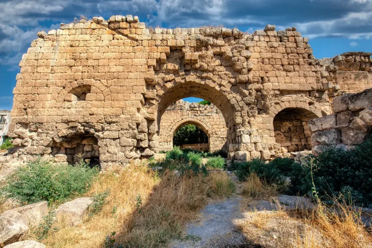
The district kept changing. Between the 4th and 6th centuries churches and houses reshaped it and old blocks were reused, and in the 7th and 8th centuries workshops and homes occupied buildings along the southern Cardo.
Architectural Design
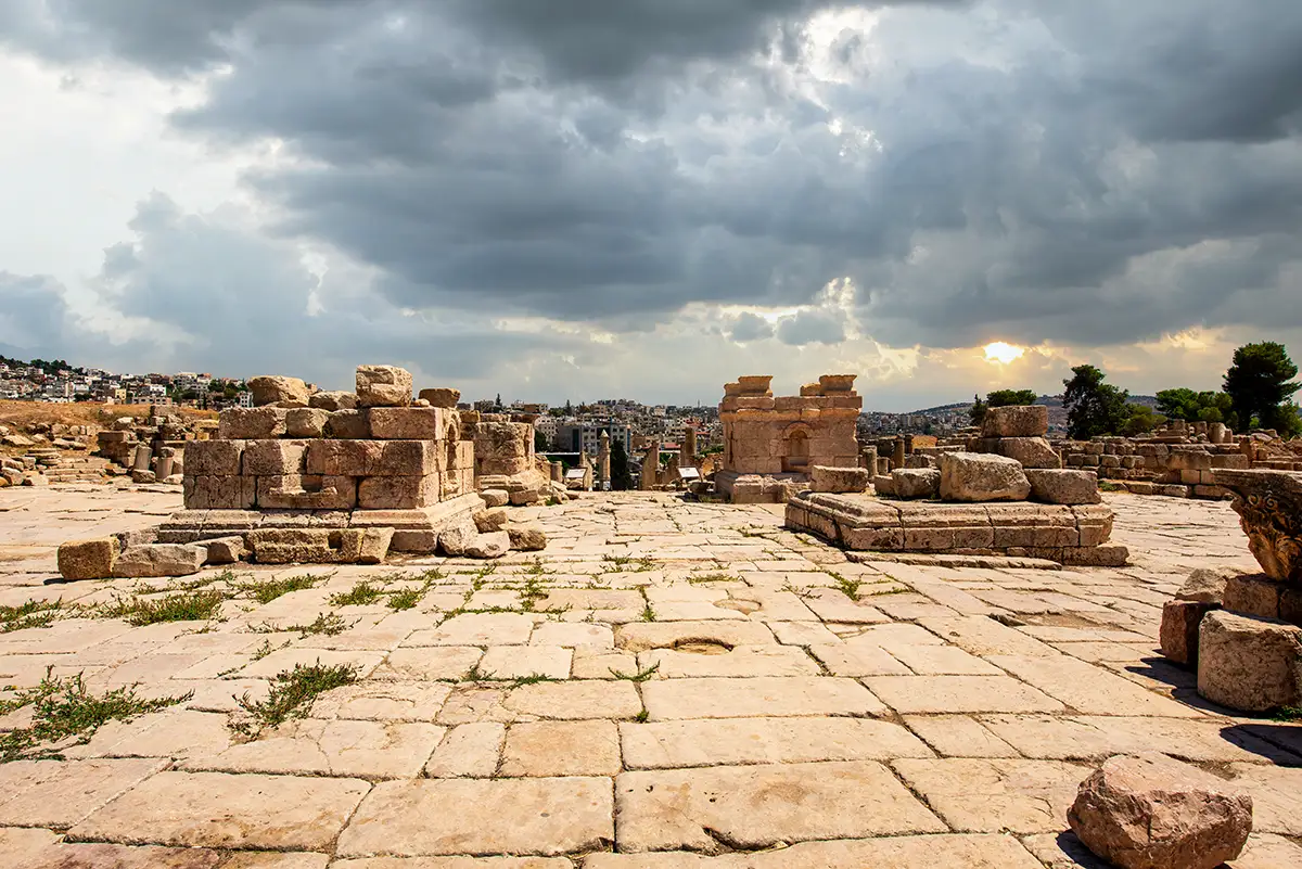
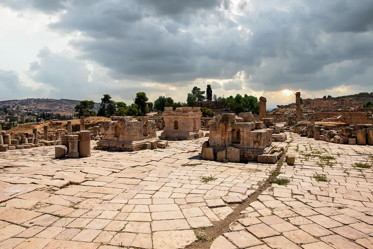
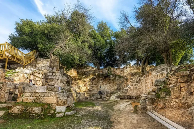
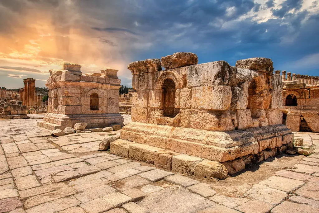
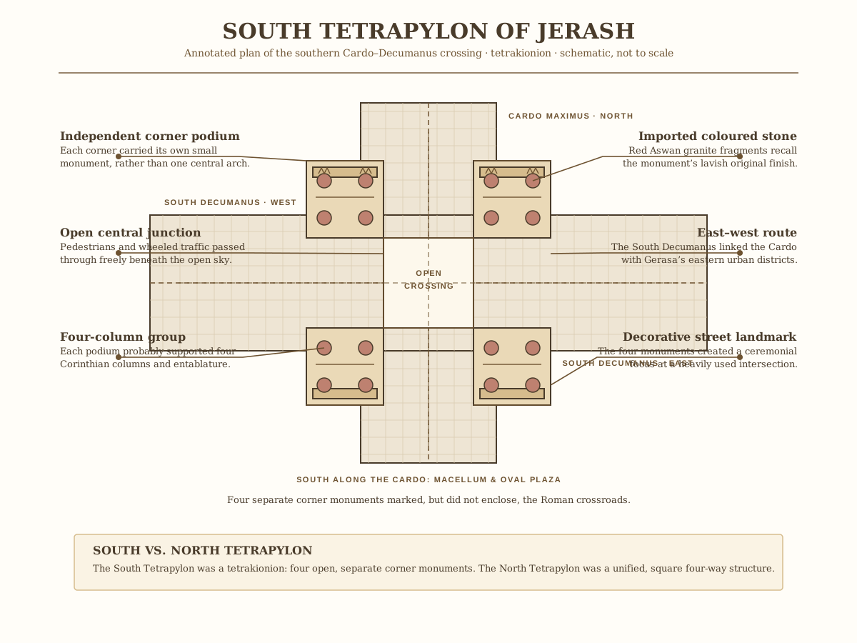
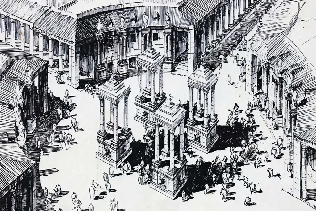
Each corner of the crossing had a raised podium that probably carried a group of four columns, forming four small towers around the open centre. Together they framed a round plaza about 44 metres across, decorating the junction without blocking it. The streets themselves were paved with limestone and drained by channels beneath — the practical side of the monument’s real job as a crossroads.
Four Corner Podiums
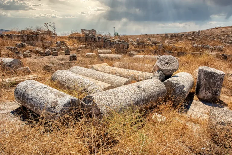
Four raised bases, one at each corner, once carried groups of columns — a tetrakionion rather than a single arch.
An Open Crossing
The centre stayed open to the sky, so carts and people could pass freely through a round plaza about 44 m across.
Granite from Aswan
Red granite brought from Egypt was used for its columns — a costly sign of the city’s wealth.
The South Decumanus
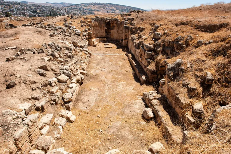
The east–west street linked the Cardo with the districts on either side and kept its paving and drains.
Destruction, Rediscovery, and Restoration
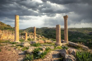
The earthquake of AD 749 brought down the columns and upper parts of the monuments, leaving the podiums seen today. Study in the 20th century showed that the crossing had been marked by four separate monuments, not by one arch.
Visiting the South Tetrapylon Today
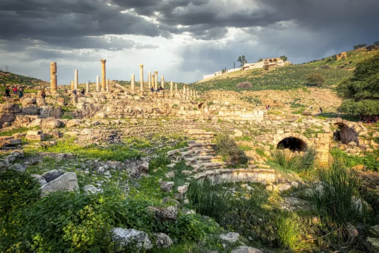
Stand in the centre of the crossing and look along both streets to see how the four podiums frame the views. Look for the separate corner bases, the fragments of red granite and the worn paving and drain covers.
Allow 10–15 minutes, or longer if you follow the South Decumanus west to the Umayyad Houses. Side light in the morning or late afternoon makes the low remains easier to read.