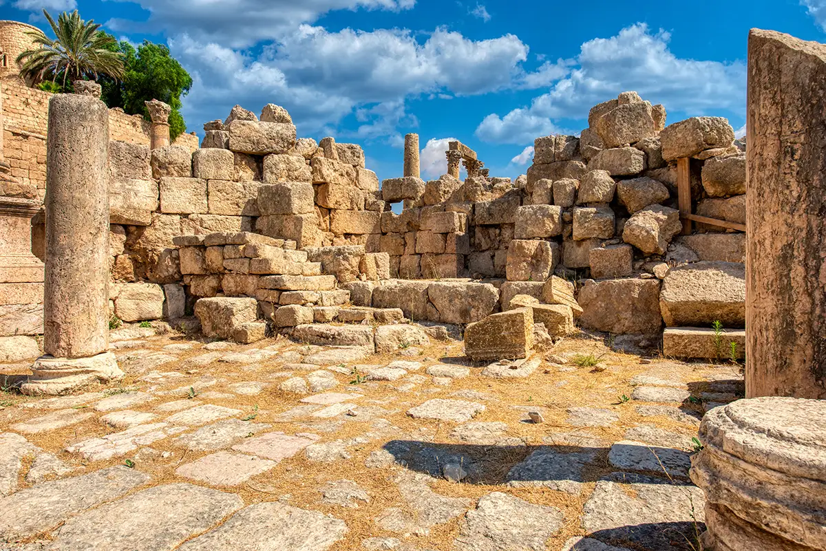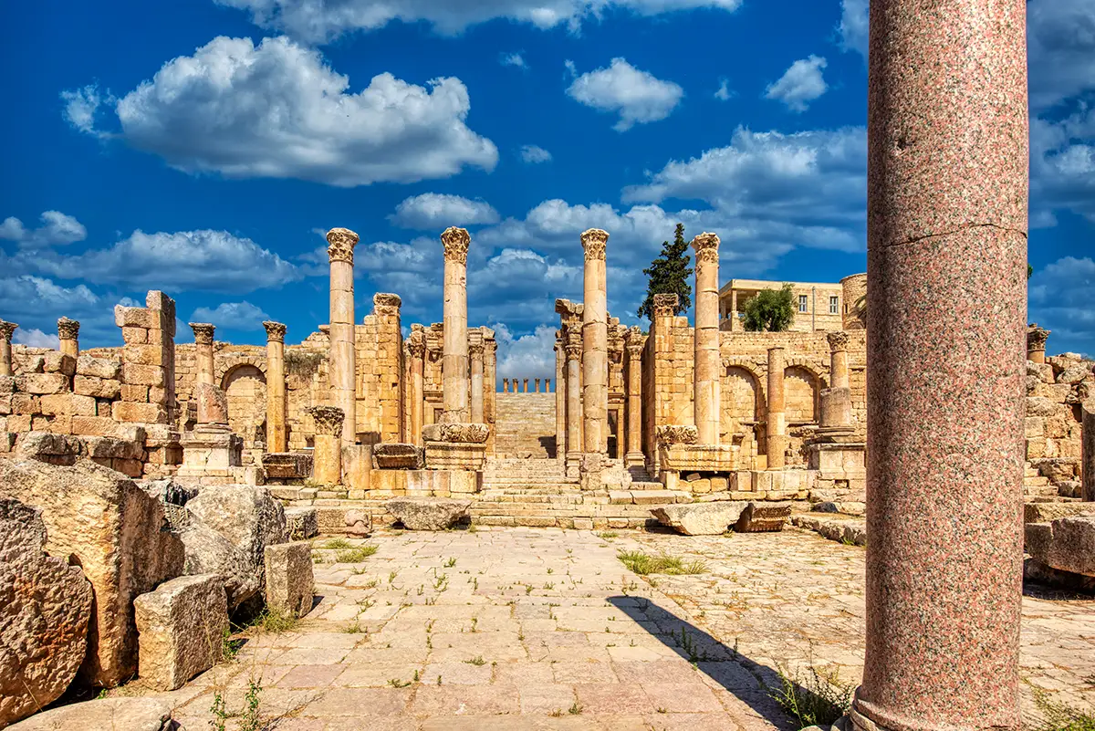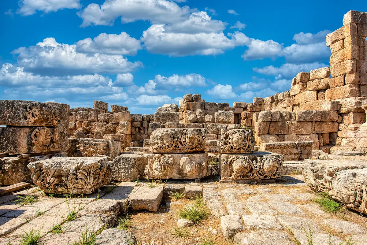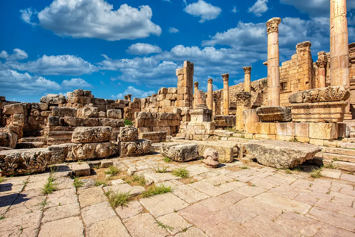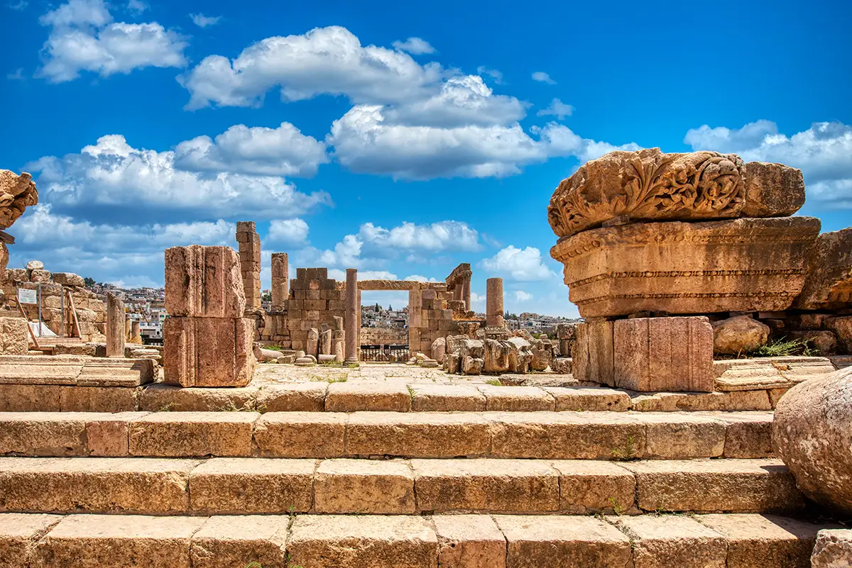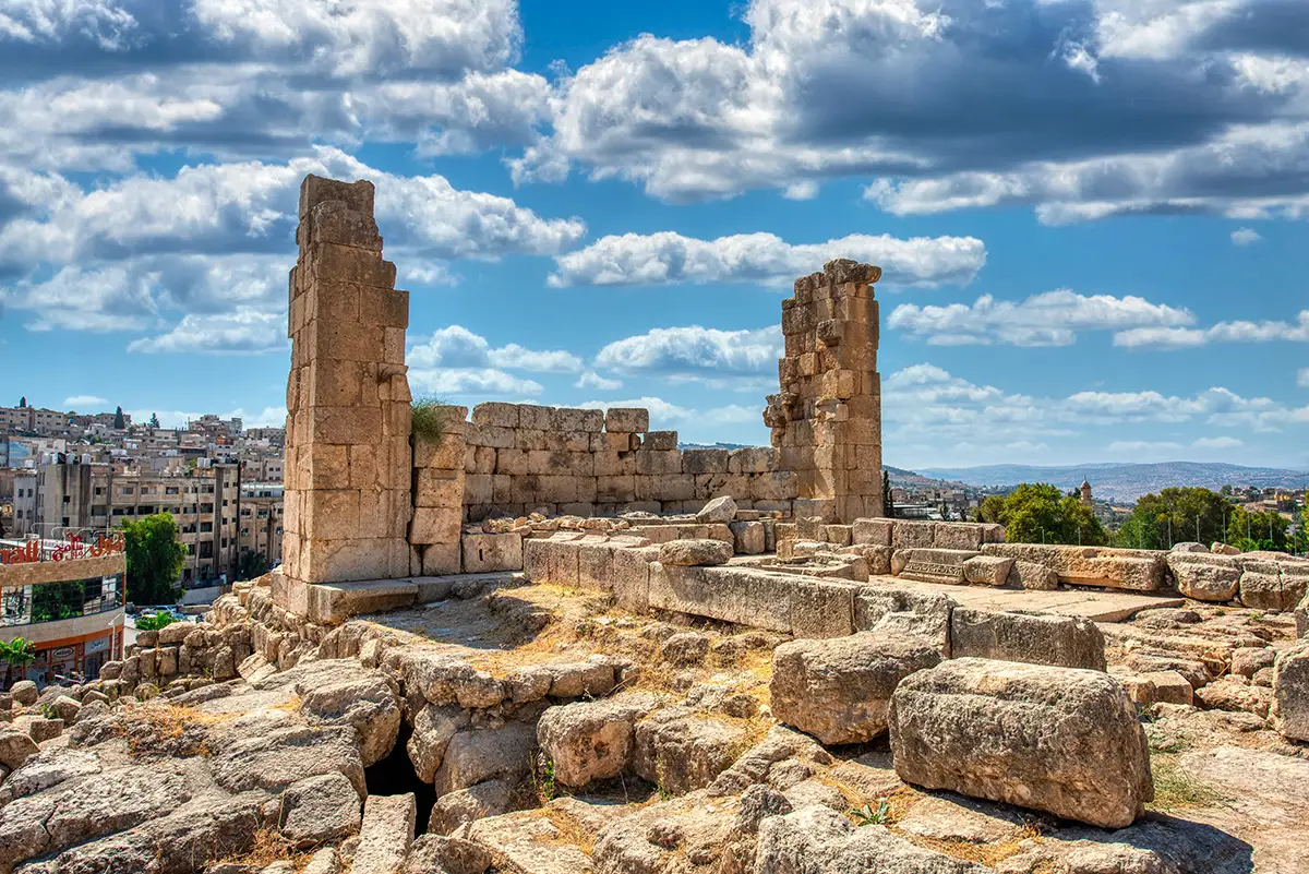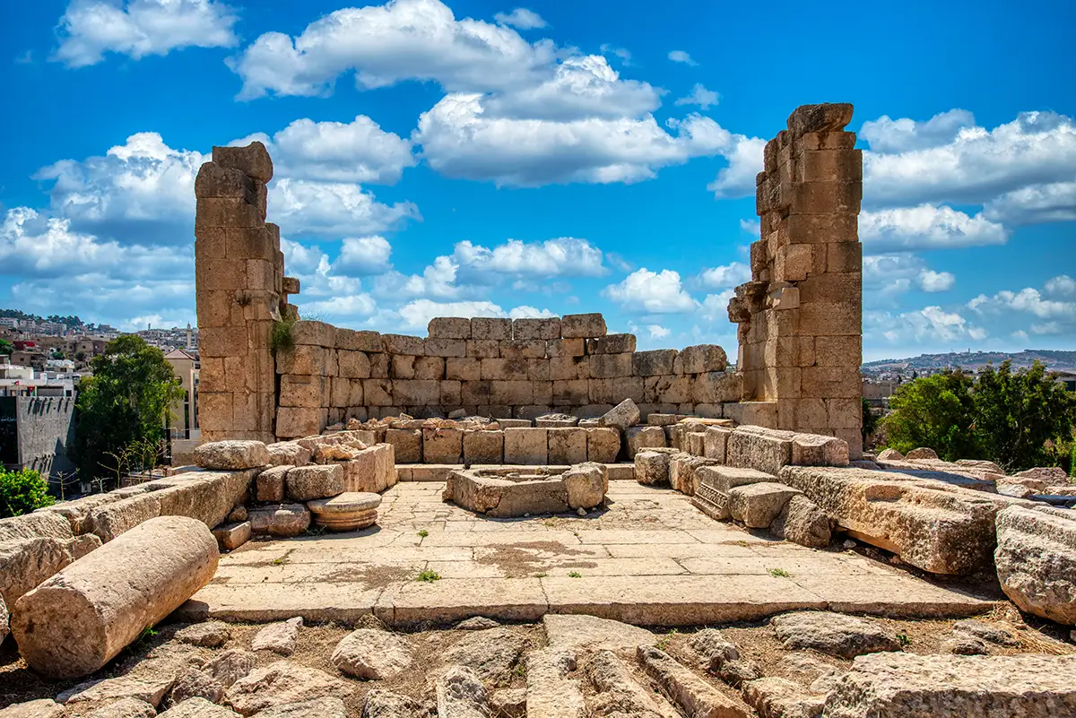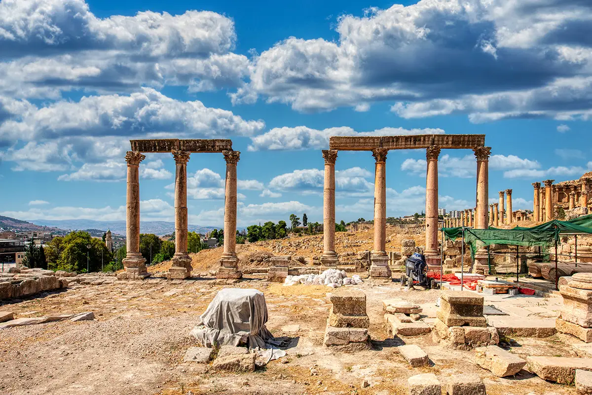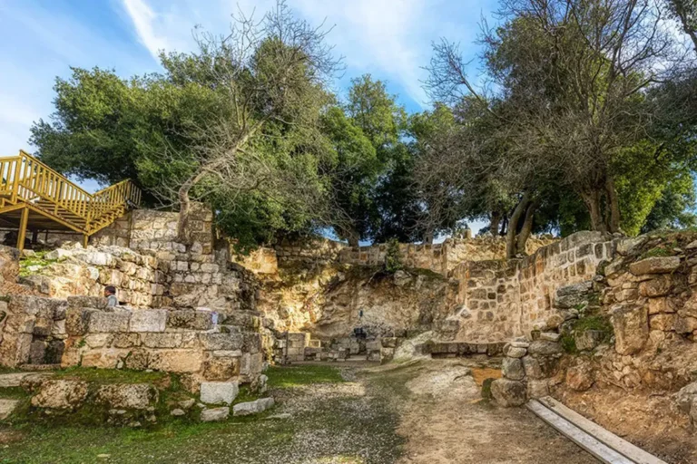
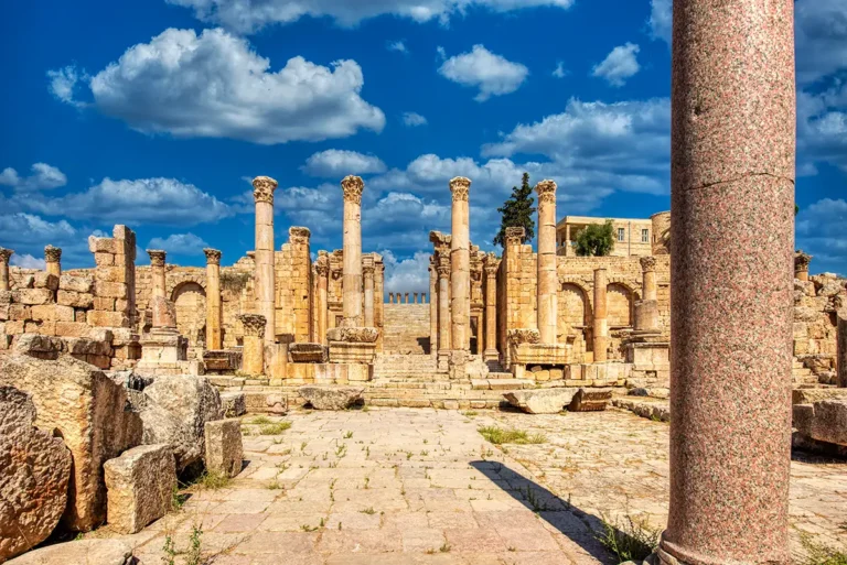
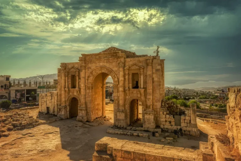

The Church of the Propylaea is one of the most ingenious conversions in Jerash: a Roman street turned into a church. When the bridge on the sacred route to the Sanctuary of Artemis collapsed in the 6th century, Byzantine builders kept the street’s columns, roofed it over and made it a basilica — in use by May AD 565, as a dated mosaic shows.
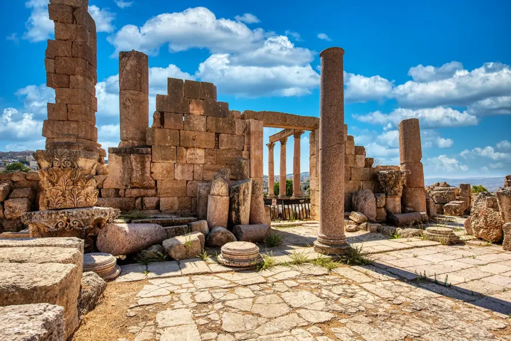
Where Is the Church of the Propylaea?
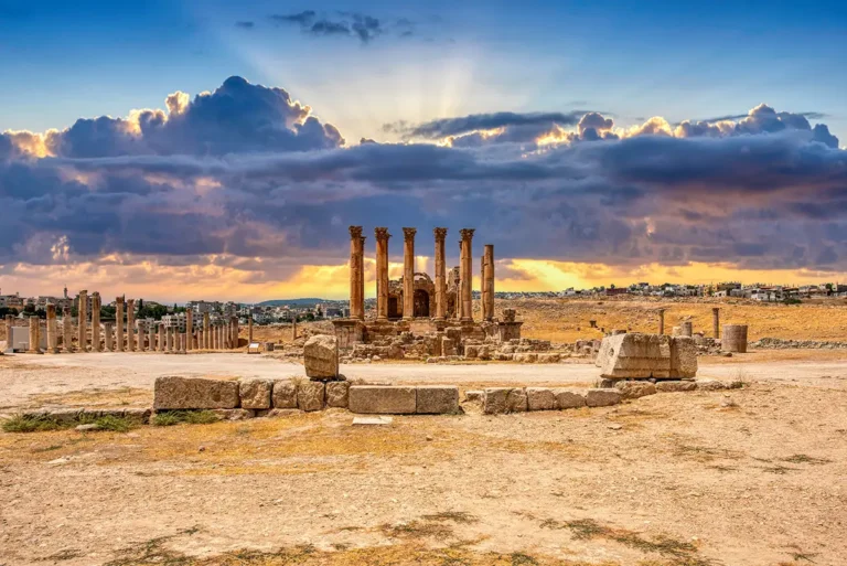
The church lies east of the Cardo Maximus, directly opposite the monumental gateway of the Sanctuary of Artemis. It occupies the stretch of the old approach between the Cardo and the Wadi Jerash.
Standing on the Cardo, look west to the Artemis gateway and east to the church: they were once two parts of the same processional route.
Historical Context and Origin
In the 2nd century AD a grand sacred route led to the Sanctuary of Artemis from the east bank of the river: a bridge, an arch, a colonnaded street, a plaza and finally the gateway on the Cardo. In the mid-6th century the bridge collapsed and the route across the wadi was cut.
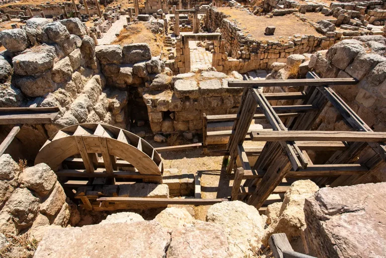
Before AD 565 the now-useless street was turned into a church: its roadway became the nave, its porticoes the aisles, and the triple gate at its eastern end the apse. The plaza became a porticoed forecourt. A dated mosaic shows the church in use by May 565, and in the late 6th and early 7th centuries porticoes, paving, water features and rooms were added.
Architectural Design
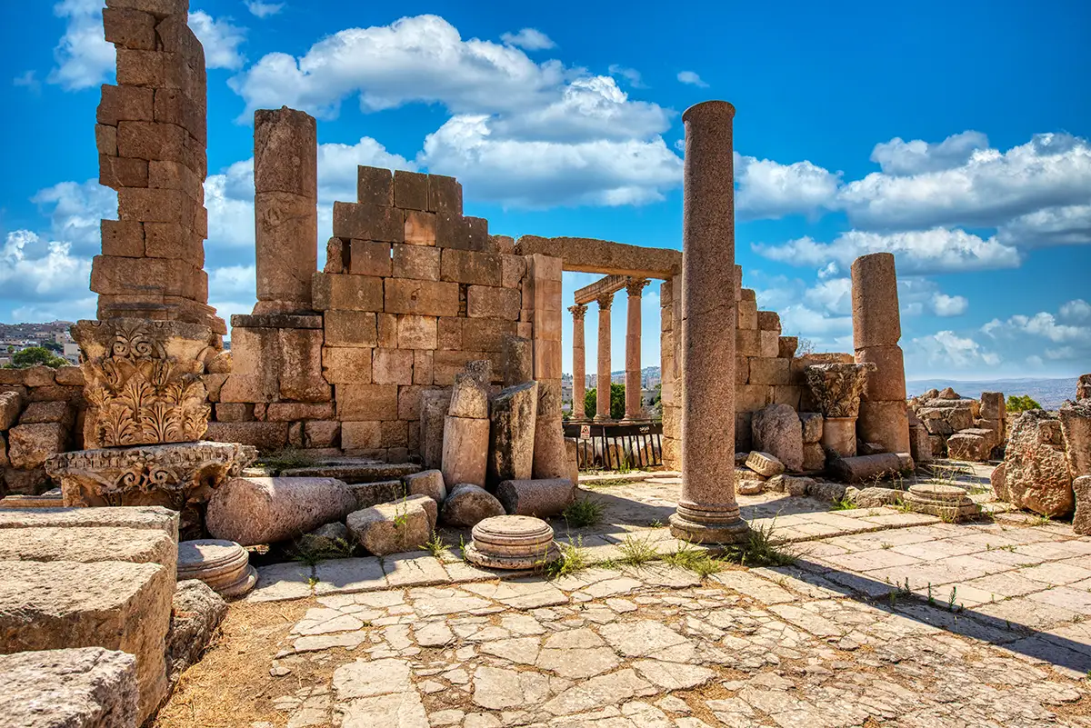
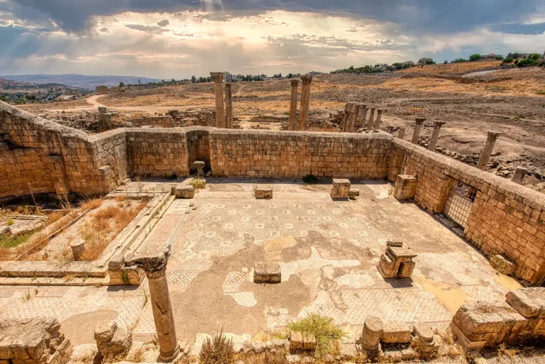
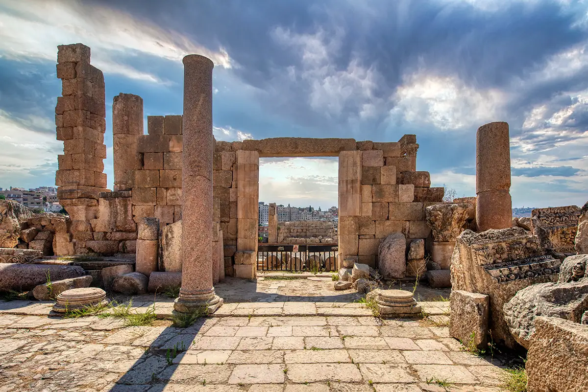
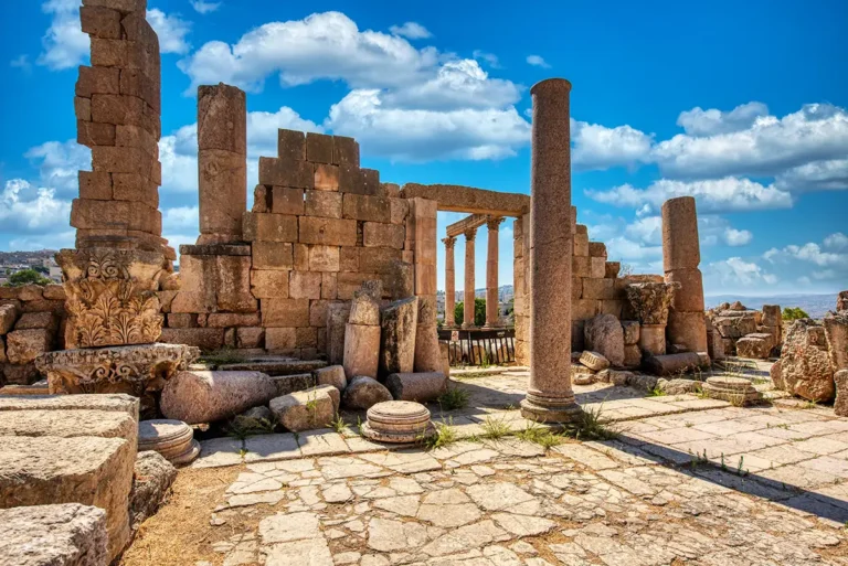
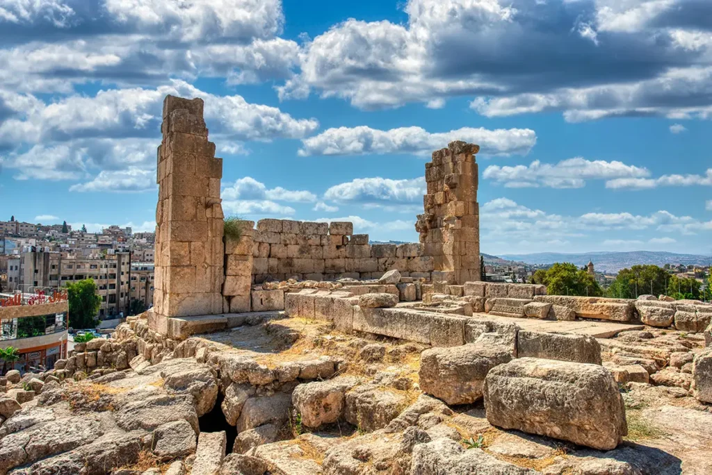
The basilica measures about 38.5 by 19.6 metres. On the Cardo side, the old street was closed with a new wall pierced by a central doorway, reached across the atrium — the Roman plaza, which kept its unusual trapezoidal shape. Inside, the Roman Corinthian columns divided the nave from the aisles and carried the roof, leading the eye east to the apse built into the old gate.
Roman Columns, Christian Roof
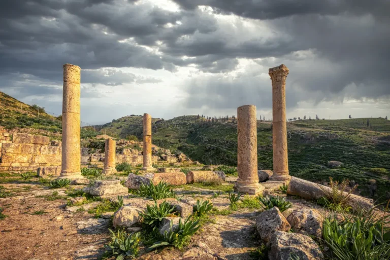
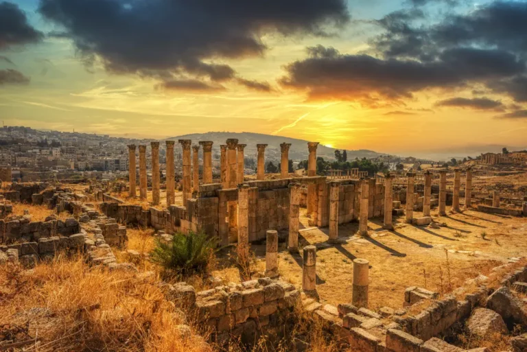
The street’s two Corinthian colonnades were kept to carry the roof of the new basilica.
The Apse in the Gate
The tripylon, a three-arched gate at the east end of the street, was filled in to form the apse.
The Atrium
The Roman trapezoidal plaza beside the Cardo became the church’s porticoed forecourt.
The Diakonia Mosaic
A circular mosaic in a side room carries the inscription that dates the church to before May AD 565.
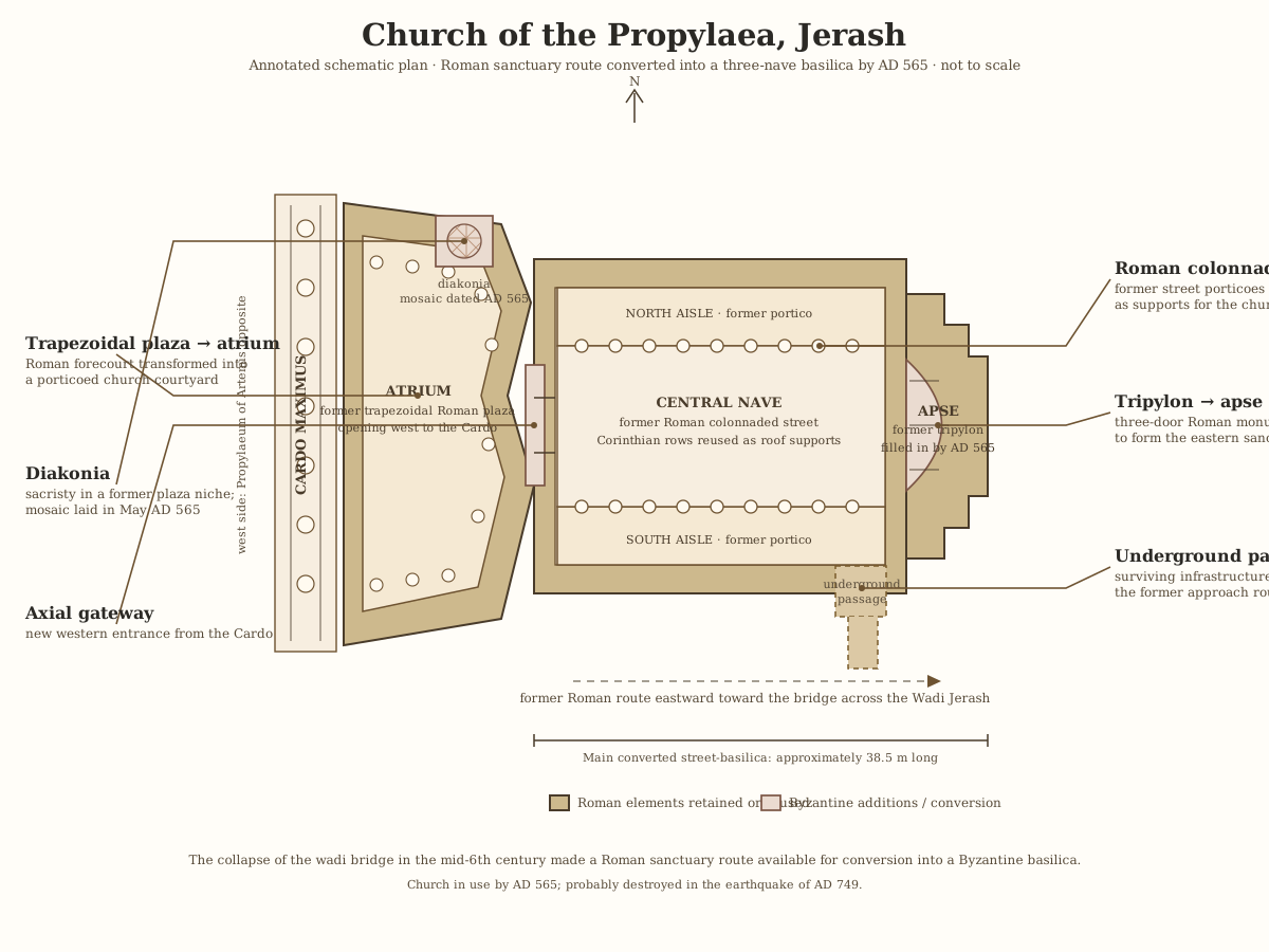
jerash-church-of-the-propylaea-schematic
Tap the drawing to open it full size.
Open drawingMosaic Inscription of the Diakonia
The text dates the diakonia — a service room for the clergy and the church’s charitable work — to May AD 565, so the old Roman approach had become a church by then. Year 627 is counted from Gerasa’s civic era (63 BC). The opening words are damaged.
[Θεοῦ θέλοντος] συνέβη ἡ διακονία
μηνὶ Ἀρτεμισίῳ, ἰνδικτιῶνος ιγʹ,
ἔτους χκζʹ.
[By the will of God], the diakonia was completed / came into being in the month of Artemisius, in the thirteenth indiction, in the year 627.
Destruction, Rediscovery, and Restoration
The earthquake of AD 749 probably destroyed the church. Modern excavation, including Italian work in 2002–2009, revealed how the Roman street had become a church, and excavation is still under way today.
Visiting the Church of the Propylaea Today
Start on the Cardo opposite the Artemis gateway, cross the old plaza and look east along the line of columns to the apse. Picture both buildings at once: the Roman processional street and the church that grew inside it.
Visit it together with the Sanctuary of Artemis to follow the old sacred route from both sides of the Cardo.
Further reading: Italian Excavations at Jarash 2002–2009: The Propylaea Church (ADAJ 54).