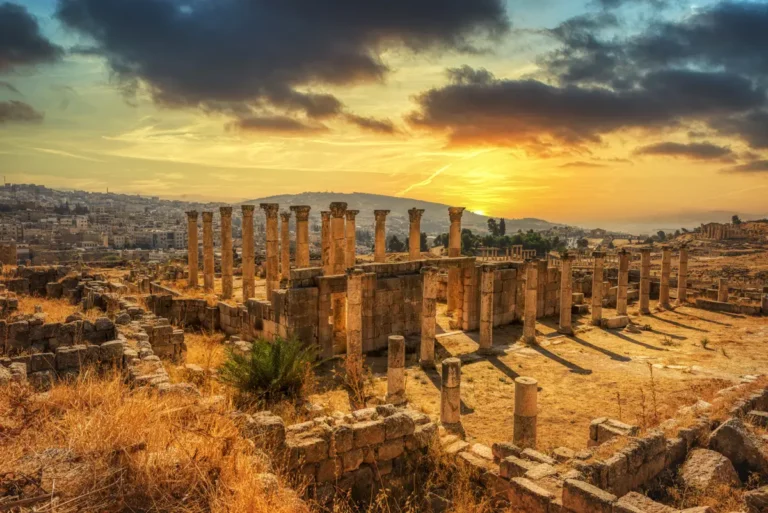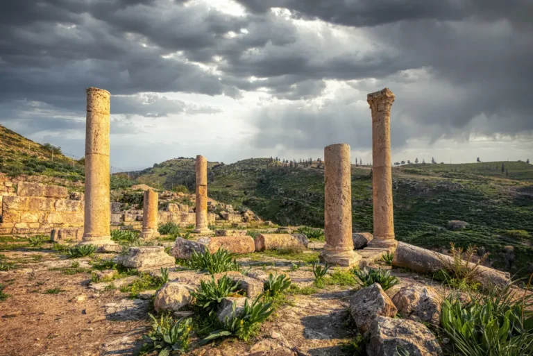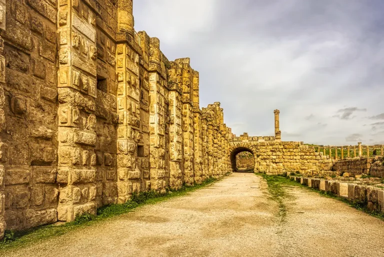

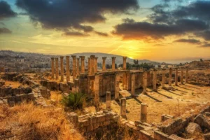
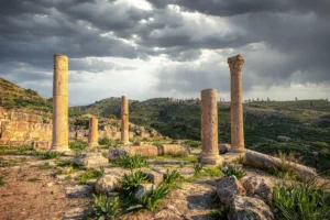

Standing in the Church of the Propylaea, this 360-degree panorama reveals a remarkable landscape of reused Roman grandeur and Byzantine adaptation. Broad stone paving spreads across the foreground, leading toward steps, clustered architectural fragments and a forest of standing columns that once defined the collonaded approach to the Sanctuary of Artemis. Around the view, fallen capitals, carved blocks and low walls show how the former Roman street and monumental entrance sequence were transformed into a three-aisled basilica after the bridge across the wadi collapsed. The surviving columns rise dramatically above the church ruins, framing views of the surrounding archaeological park and the modern city beyond. More than most places in Jerash, this panorama makes the city’s layered history visible at once: Roman processional architecture, Christian worship and centuries of collapse gathered in one powerful setting.