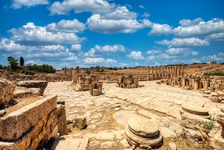
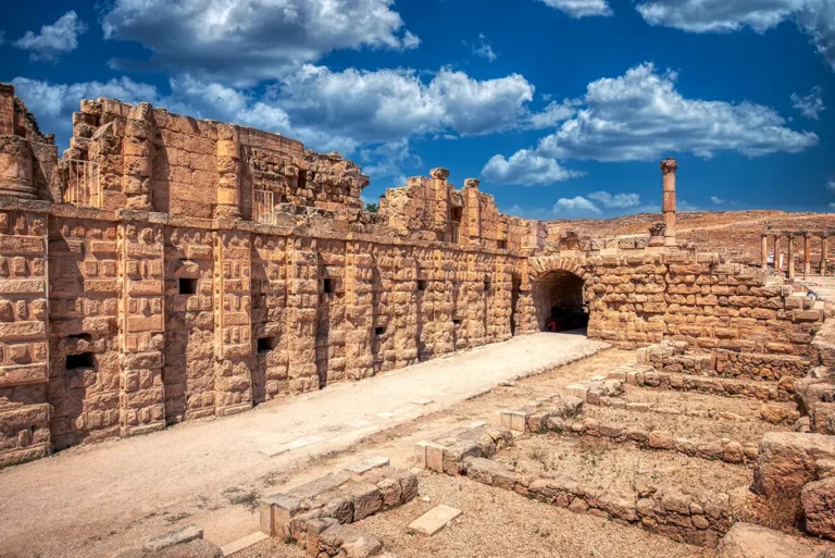
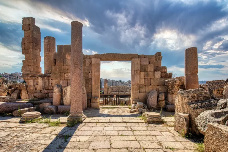
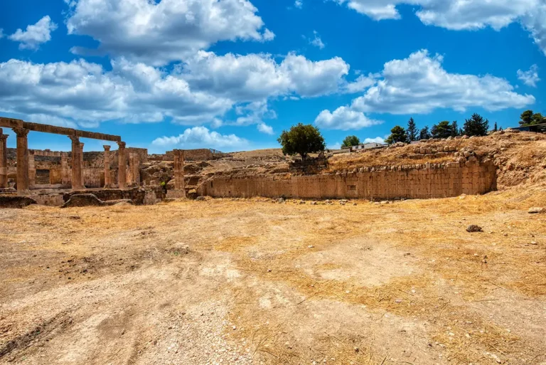
Standing at the centre of the South Tetrapylon crossroads, the 360-degree panorama places you amid one of ancient Jerash’s most important urban intersections. The broad paving stones of the Cardo Maximus stretch north toward a long perspective of columns, while the South Decumanus opens across the scene toward the city’s eastern and western quarters. Around the junction, the surviving bases, fallen blocks and partially reconstructed corner monuments reveal the outlines of what was once a richly decorated four-part landmark. In the distance, the hills, scattered ruins and modern city frame the archaeological site, while the vast blue sky gives the open crossing a powerful sense of scale. Even in its fragmentary state, the South Tetrapylon remains a wonderfully atmospheric place to pause and imagine the movement, commerce and ceremony that once converged here.
Turn from the main avenue towards each cross street to compare their alignments. The remains at the corners help establish the junction even where the upper architectural elements are missing. Look closely at the paving and the surviving bases before widening your view towards the neighbouring colonnades. The open panorama makes it possible to follow several directions from the same point. This is a useful place to understand the street network through visible relationships rather than through a single isolated monument.