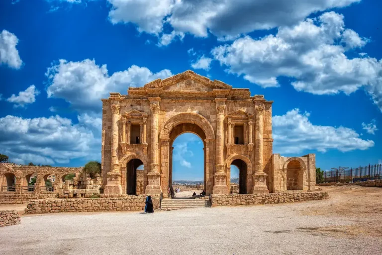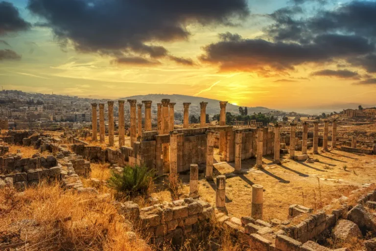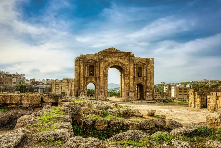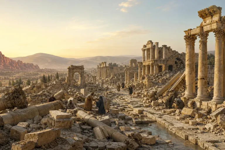

The Umayyad Mosque and Umayyad Houses reveal a side of Jerash that is easily missed among its famous Roman temples, theatres and colonnades. They belong to the city’s early Islamic chapter, when Gerasa—now Jarash—remained an inhabited and productive town under Umayyad rule.
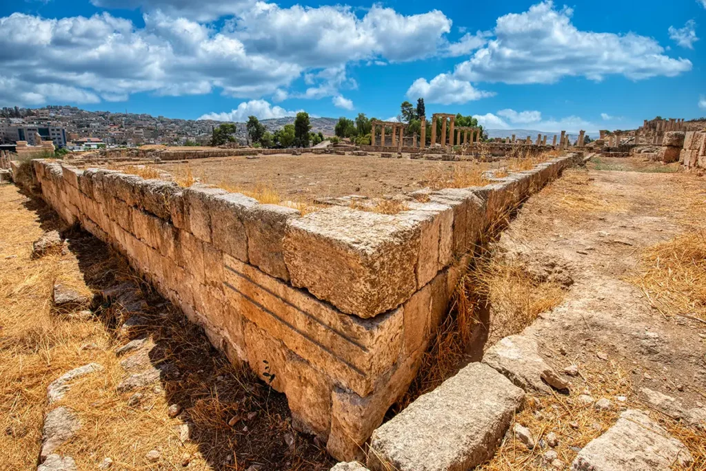
The two sites are related by period and urban setting, but they are not one continuous complex. The Umayyad Mosque stands beside the Macellum, with access from the Cardo Maximus near the South Tetrapylon. The Umayyad Houses lie north of the western stretch of the South Decumanus, where an earlier Roman and Byzantine residential area was reshaped into an Islamic neighbourhood.
Together, they show that Jerash was not simply a classical city left behind after antiquity. Its old streets, foundations, drainage systems and building stone were adapted to serve a new community.
The Umayyad Mosque & Houses at a Glance
Location: Jerash Archaeological Park, Jordan (southern part, close to the South Tetrapylon)
Built date: Umayyad period, AD 661–750, with later Abbasid reuse
Umayyad Mosque: Beside the Macellum, entered from the Cardo Maximus
Umayyad Houses: North of the western South Decumanus
Mosque type: Congregational courtyard mosque with a porticoed court and covered prayer hall
House type: Courtyard-centred urban residence with street-front shops and service rooms
Key theme: The transformation of Roman Gerasa into an early Islamic town.
Jerash After the Roman and Byzantine Periods
The Muslim armies took control of the region after the Battle of Yarmuk in AD 636. Jerash entered the Islamic world, but its physical landscape did not disappear. The city’s broad streets, durable masonry, water infrastructure and standing monuments remained useful.
During the Umayyad period, Jerash became part of the Jund al-Urdunn, the military and administrative district of Jordan. Archaeological and historical evidence indicates continued settlement, local craft production and commerce. The city even issued early Islamic coinage bearing the mint name Jarash.
This was a changing city rather than a deserted one. Churches continued to function in some districts, while the Muslim population acquired a substantial congregational mosque. Pottery workshops operated in and around older Roman monuments, including the Macellum. The classical city was being reused room by room, street by street.
The Umayyad Mosque Beside the Macellum
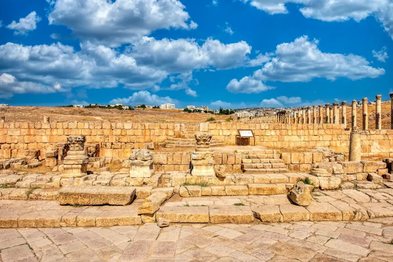
The Umayyad Mosque occupies a strategic place in the southern commercial heart of Jerash. It lies next to the Macellum and has an entrance from the Cardo Maximus, close to the South Tetrapylon and the junction with the South Decumanus.
This location was highly meaningful. The Cardo was the city’s principal north–south avenue, while the Macellum had long been a commercial building. Placing a mosque here connected communal worship to a busy urban setting of movement, trade and public life.
The mosque is generally dated to the first half of the 8th century, probably during the reign of Caliph Hisham ibn Abd al-Malik, although its history includes later alterations and reuse. It is therefore often described as the Umayyad–Abbasid Mosque.
Architecture of the Mosque
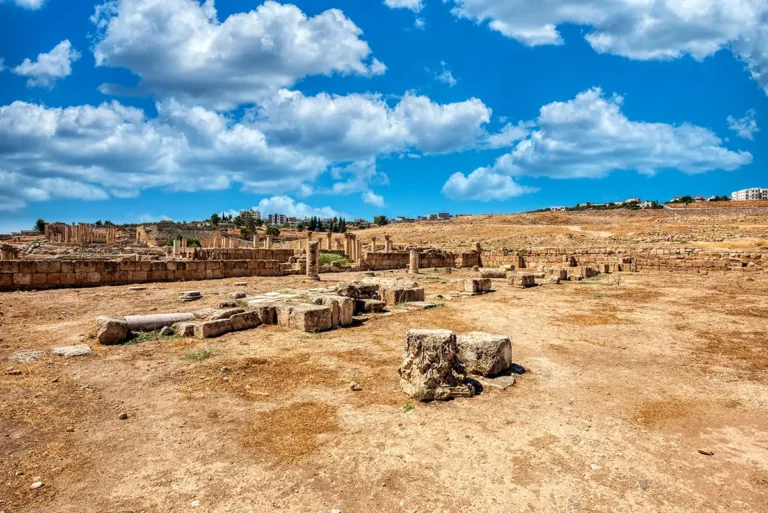
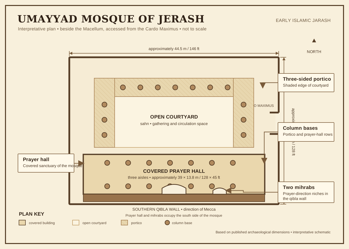
Excavations reveal a large rectangular congregational mosque, approximately 44.5 metres by 39 metres. Its plan followed the early Islamic courtyard-mosque tradition:
An open central courtyard for gathering and circulation
Porticoes, about 4.8 metres deep, along three sides of the court
A covered prayer hall on the qibla side
Two rows of columns dividing the prayer hall into three longitudinal aisles
Mihrabs marking the direction of Mecca
The prayer hall measured about 39 metres by 13.8 metres. It was paved with stone slabs and divided by two rows of columns running parallel to the qibla wall.
Two mihrabs were found in that wall. The principal mihrab stood near the centre and was approximately 3.5 metres in diameter. A smaller mihrab stood about four metres to its east, within a projecting rectangular feature. Their presence confirms the building’s function as a mosque and reveals how the prayer space was organised.
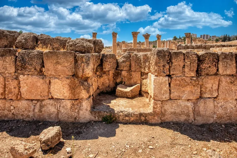
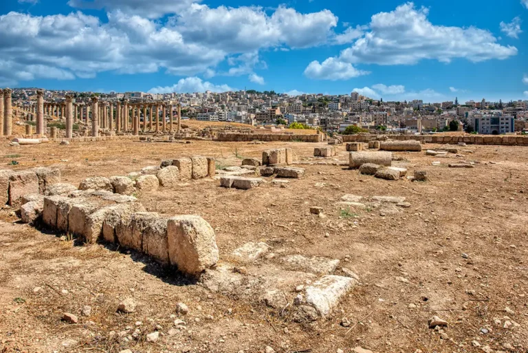
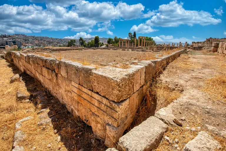
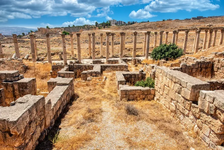
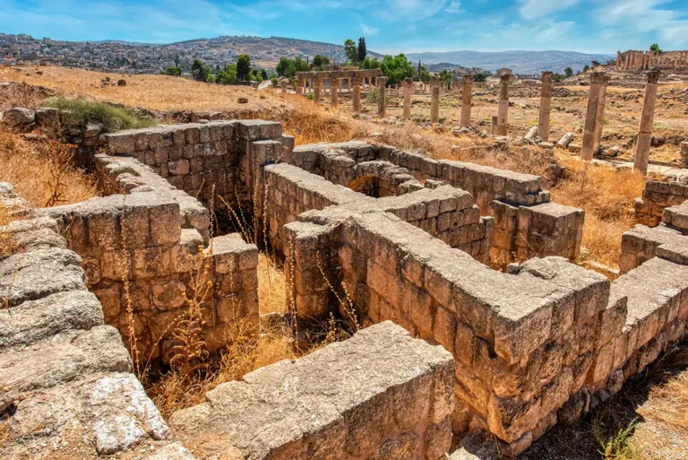
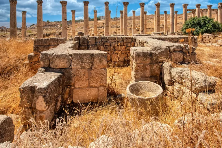
Although the walls survive mainly at foundation level, the plan still conveys the scale of the building. This was not a small neighbourhood or private mosque. It was a major communal institution for Islamic Jarash.
From Cardo Entrance to Prayer Hall
Approaching from the Cardo Maximus, a worshipper would have entered from one of the busiest areas of the ancient city. The route passed close to the Macellum, a Roman market that had itself been adapted for industrial use in the Umayyad period.
Beyond the entrance lay the mosque courtyard. This open space would have accommodated worshippers before and after prayer, provided light and ventilation, and linked the entrances with the covered sanctuary. Porticoes offered shade along three sides.
At the far side stood the prayer hall, aligned toward Mecca. Its rows of columns created three aisles, drawing attention toward the qibla wall and mihrabs. The contrast between a bright open court and a shaded columned hall was a familiar feature of early Islamic mosque design.
The Mosque in a Changing Commercial District
The mosque did not stand apart from daily life. It was embedded in the southern Cardo district, beside the Macellum and close to the South Tetrapylon crossroads. This was an area already associated with commerce and public movement in Roman times.
By the Umayyad period, the Macellum had ceased to function simply as a food market and was being reused for craft activity, including textile dyeing. The mosque therefore belonged to a district where worship, trade and production overlapped.
This urban context is important. Early Islamic Jerash was not built as a separate town outside the Roman ruins. Its inhabitants occupied the inherited city centre and gave its existing spaces new purposes.
The Umayyad Houses on the South Decumanus
The Umayyad Houses are located north of the western part of the South Decumanus. Unlike the mosque, they were domestic buildings: places for households, storage, cooking, work and local commerce.
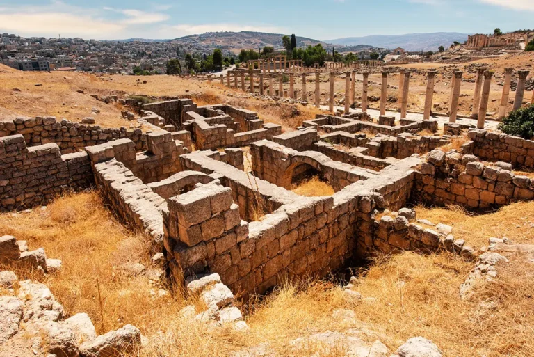
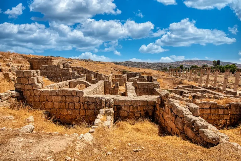
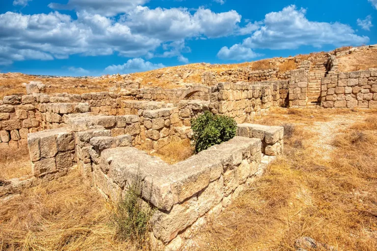
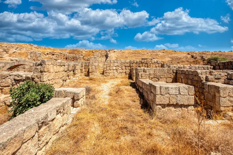
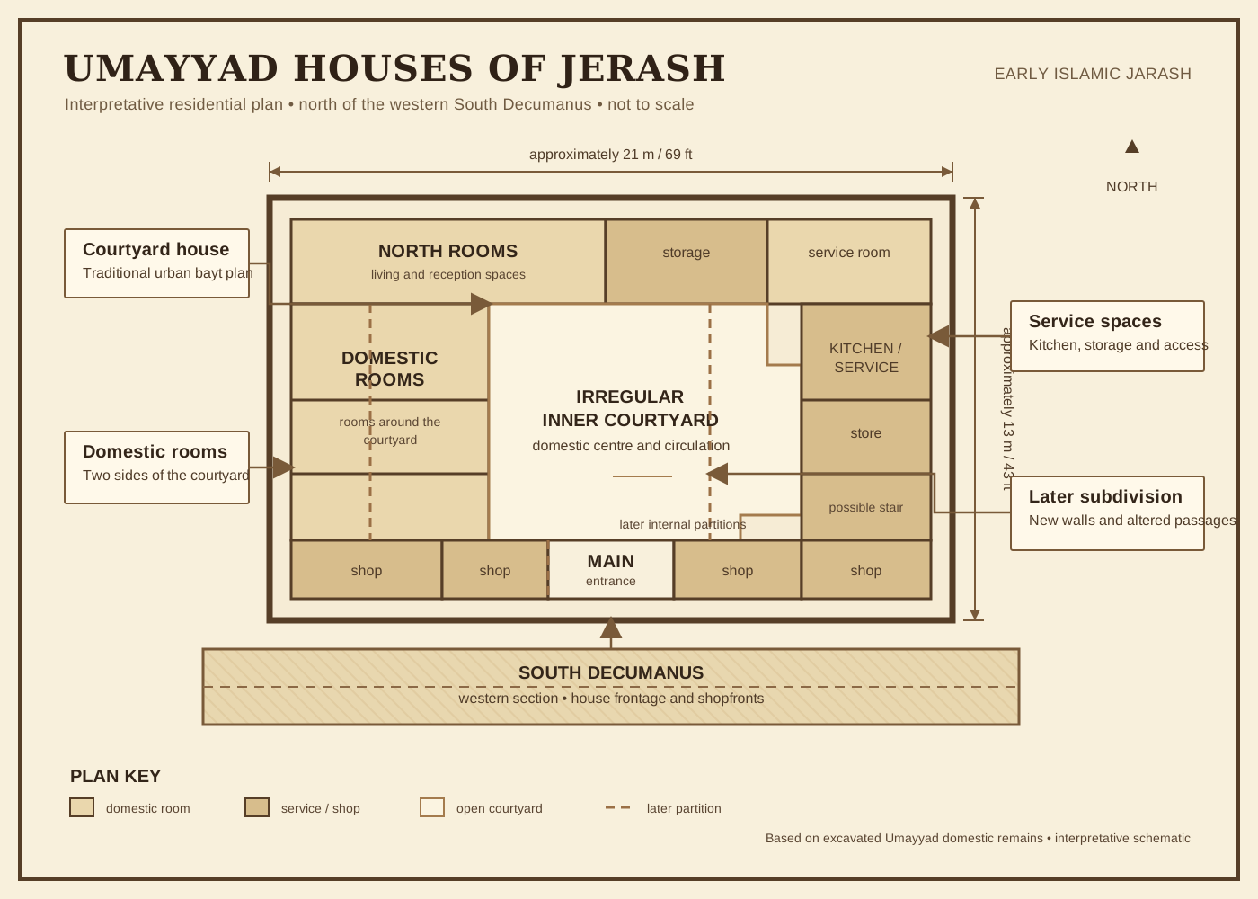
Excavation uncovered street-front shops along the South Decumanus, with a residence behind them. The house followed the broad pattern of an Arabic bayt: rooms grouped around an irregular inner courtyard. This arrangement created a protected domestic centre while allowing the building to engage with the commercial life of the street.
The best-preserved house measured about 21 by 13 metres. Its main entrance opened from the South Decumanus, while lower rooms were reached from the courtyard. The principal living area covered roughly 200 square metres, with utility spaces including kitchens and storerooms.
A House Built from an Older City
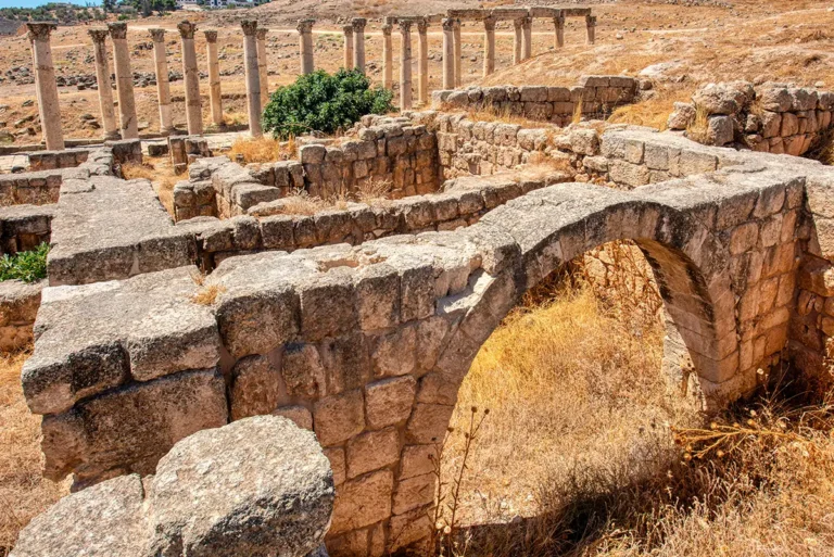
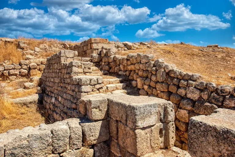
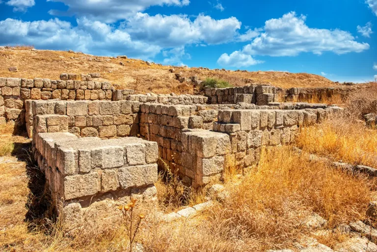
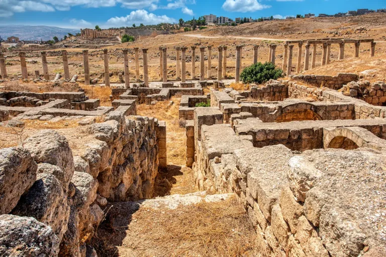
The Umayyad houses were not constructed on empty ground. They replaced or reused an earlier Roman and Byzantine residential quarter. Older foundations, drainage channels and recycled stone blocks were incorporated into the new buildings.
This reuse was practical. Jerash offered a vast supply of ready-cut limestone, columns, paving slabs and wall blocks. But it was also an expression of continuity: early Islamic residents lived in a city whose Roman layout still directed movement and whose earlier infrastructure still served parts of the neighbourhood.
The house’s drainage system appears to have connected with the older Roman urban sewer network. This is a remarkable example of long-term civic infrastructure outlasting the society that first constructed it.
Adaptation and Subdivision
The Umayyad Houses were not static. During the 8th century, the larger residence was subdivided into smaller units. Passages were blocked, new openings were cut and the internal arrangement changed.
These alterations suggest a dense, evolving neighbourhood. A large household property may have been divided among several families, tenants or working groups. After later destruction or abandonment, potters briefly used parts of the site, leaving evidence of several kilns.
The houses therefore preserve a sequence of domestic life, adaptation and craft production rather than a single frozen architectural moment.
Mosque and Houses: Connected by the City
The Umayyad Mosque and Umayyad Houses should be explored together because they tell complementary stories, but they should not be mistaken for a single architectural complex.
The mosque, beside the Macellum and entered from the Cardo, represents the public and religious face of early Islamic Jerash. The houses, north of the western South Decumanus, reveal private life and neighbourhood commerce.
Between them runs the inherited Roman street network: the Cardo Maximus, the South Decumanus and the South Tetrapylon crossroads. These ancient routes remained the framework within which the Umayyad city developed.
What to Look For Today
At the mosque:
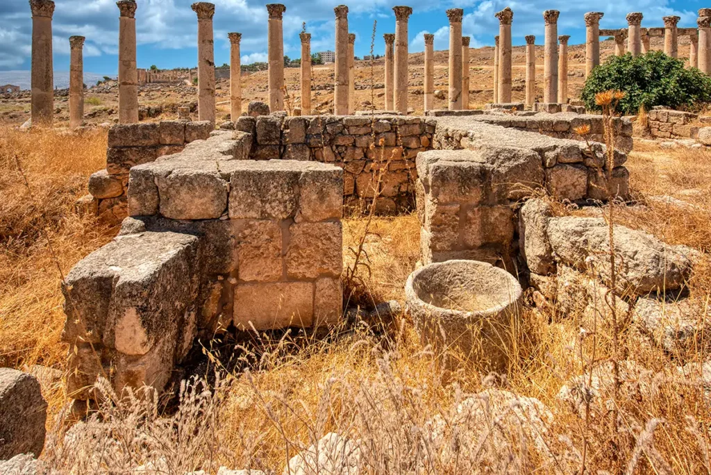
The outline of the large rectangular enclosure
The central courtyard and the three-sided porticoes
The position of the prayer hall
The qibla wall and surviving mihrab remains
Its close relationship to the Cardo, Macellum and South Tetrapylon
At the Umayyad Houses:
The shopfronts facing the South Decumanus
The irregular central courtyard
Rooms built around the court
Reused Roman and Byzantine masonry
Changes in walls and doorways that reveal later subdivision
Visiting Tips
Visit the mosque after exploring the Macellum and South Tetrapylon; their physical relationship becomes immediately clear.
Continue west along the South Decumanus to understand the setting of the Umayyad Houses.
Look beyond monumental façades: low walls, reused blocks and altered doorways are the key evidence here.
Use a site map, as the remains are easier to read when viewed in relation to the Cardo and South Decumanus.
Why These Sites Matter
The Umayyad Mosque and Umayyad Houses are among the strongest reminders that Jerash is not solely a Roman archaeological park. They document a city adapting to new political, religious and social realities while continuing to use its inherited urban structure.
The mosque demonstrates the presence of a sizeable Muslim community. The houses show the everyday reality behind that community: families, shops, kitchens, storerooms, courtyards, drainage and changing property boundaries. Together, they make early Islamic Jerash tangible.
Frequently Asked Questions
No. They are separate sites from the same broad early Islamic period. The mosque stands beside the Macellum and is accessed from the Cardo Maximus, while the Umayyad Houses lie north of the western section of the South Decumanus.
It was built in the first half of the 8th century, during the Umayyad period. It is often associated with the reign of Caliph Hisham ibn Abd al-Malik, who ruled from AD 724 to 743.
The mosque measured approximately 44.5 by 39 metres, or 146 by 128 feet. Its covered prayer hall measured about 39 by 13.8 metres, or 128 by 45 feet.
It had an open central courtyard surrounded by porticoes on three sides. The covered prayer hall occupied the south side, facing the qibla wall, and was divided into three aisles by two rows of columns.
Excavations found a large central mihrab and a smaller one to its east in the southern qibla wall. The two niches probably reflect alteration during the mosque’s use; archaeological evidence suggests that only one may have been in use at a time.
The Macellum was Jerash’s Roman food market. By the Umayyad period, it had been adapted for craft activity, including textile dyeing. Its proximity to the mosque shows how worship, commerce and production shared the old city centre.
The houses were courtyard-centred residences, with shops facing the South Decumanus and domestic rooms behind them. One excavated house measured about 21 by 13 metres and included living spaces, storage rooms and service areas.
Much of their masonry was reused from earlier Roman and Byzantine buildings. Builders also incorporated older foundations and drainage infrastructure, demonstrating how Islamic Jerash adapted the material fabric of ancient Gerasa.
Yes. During the 8th century, larger properties were subdivided with new walls and altered doorways. Later activity included pottery production, showing that the area remained useful even after its original domestic arrangement changed.
They show that Jerash remained a living city after the Roman and Byzantine periods. The mosque documents organised Muslim communal worship, while the houses preserve evidence of everyday family life, shops, work and urban adaptation in early Islamic Jarash.
Key Moments in History
AD 636 — Islamic rule reaches Jerash: Following the Battle of Yarmuk, Jerash became part of the early Islamic world. The city remained inhabited, while its Roman streets, buildings and infrastructure continued to shape daily life.
Around AD 660 — Umayyad houses take shape: A residential quarter was established north of the western South Decumanus, reusing Roman and Byzantine foundations, drainage systems and dressed stone.
Key Moments in History
AD 636 — Islamic rule reaches Jerash: Following the Battle of Yarmuk, Jerash became part of the early Islamic world. The city remained inhabited, while its Roman streets, buildings and infrastructure continued to shape daily life.
Around AD 660 — Umayyad houses take shape: A residential quarter was established north of the western South Decumanus, reusing Roman and Byzantine foundations, drainage systems and dressed stone.
Early 8th century — Jerash grows as an Islamic town: Workshops, housing and commercial activity appeared within the former Roman city. The Macellum was adapted for craft production, including textile dyeing.
AD 724–743 — Congregational mosque built: The Umayyad Mosque was probably constructed during the reign of Caliph Hisham ibn Abd al-Malik. Its courtyard, porticoes, prayer hall and mihrabs created a major centre for communal worship beside the Cardo and Macellum.
8th century — Houses are subdivided: The larger courtyard residences were altered with new walls, changed passages and smaller internal units, reflecting a denser and evolving urban neighbourhood.
AD 749 — Major earthquake: The earthquake badly damaged Jerash’s built environment. The mosque, houses and surrounding district were affected, but parts of the city continued to be used and adapted afterward.
9th century onward — Abbasid reuse: Archaeological evidence indicates continued activity in early Islamic Jerash, including craft production and the reuse of former domestic areas.
1928–1934 — Early excavations: Yale-led excavations documented substantial early Islamic remains near the southern Cardo, although early research focused more strongly on Roman-period monuments.
1981–1983 — Umayyad Houses excavated: Archaeologists investigated the residential quarter north of the western South Decumanus, revealing its shopfronts, courtyard plan and later subdivisions.
2002 onward — Mosque re-examined: The Islamic Jarash Project confirmed and studied the large Umayyad congregational mosque, clarifying its courtyard, prayer hall, qibla wall and multiple mihrabs.