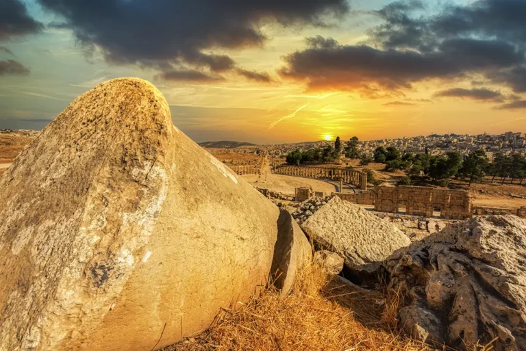
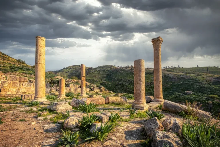
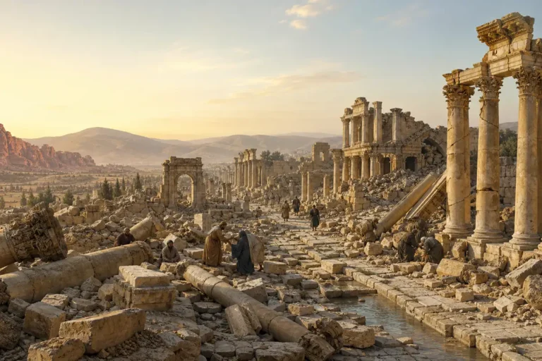
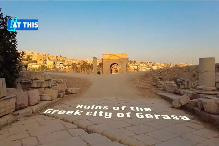
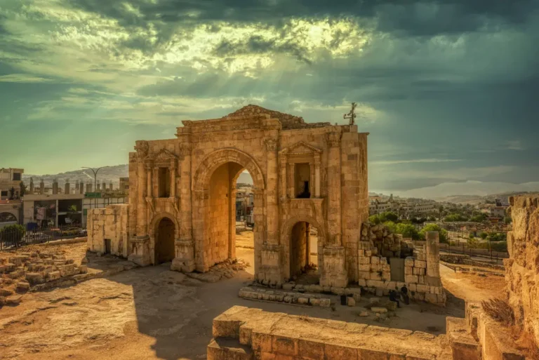
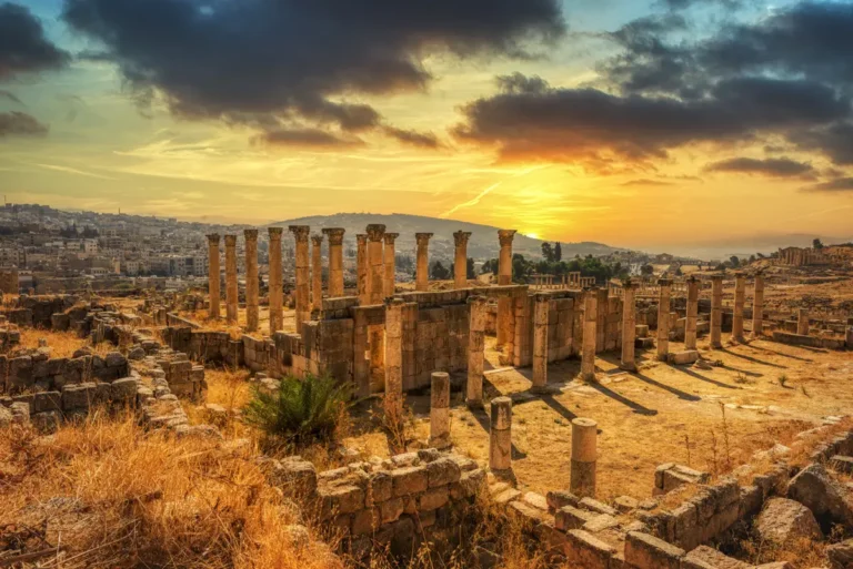
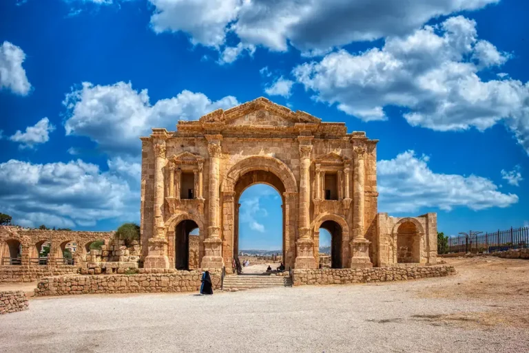
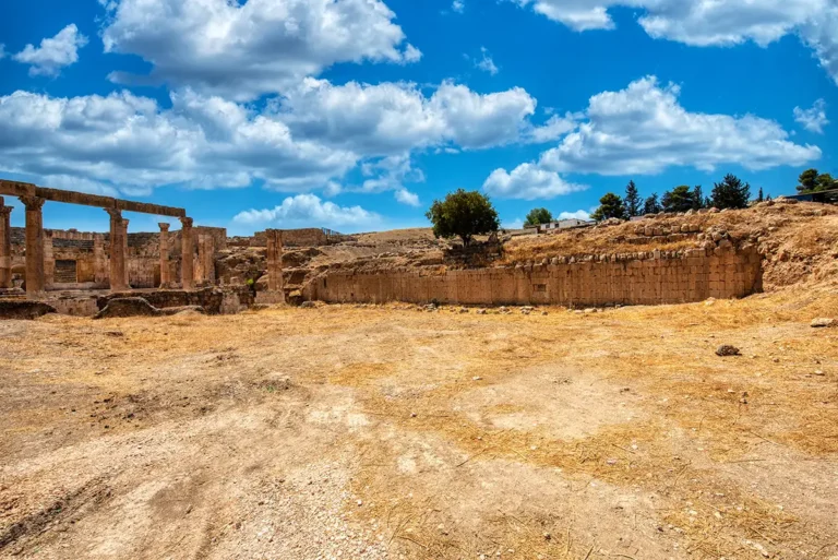
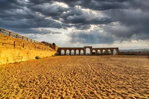
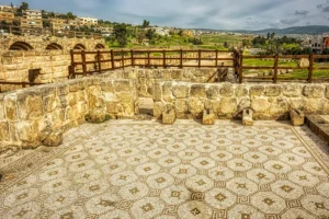
Stand within the broad, low-walled footprint of the Umayyad–Abbasid Mosque, where the open courtyard once gathered worshippers beneath the Jerash sky. Around the horizon, the surviving Cardo colonnades, scattered masonry and nearby monuments connect this early Islamic sanctuary to the much older Roman city. The panorama’s open ground makes the mosque’s scale especially clear: a large communal space shaped by changing faith, reuse and centuries of urban life.