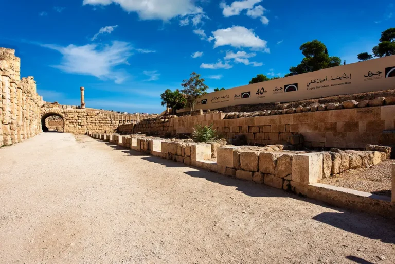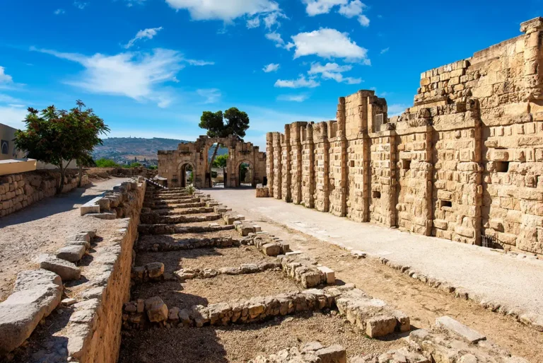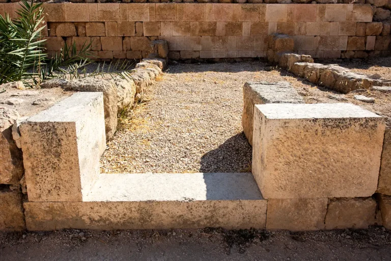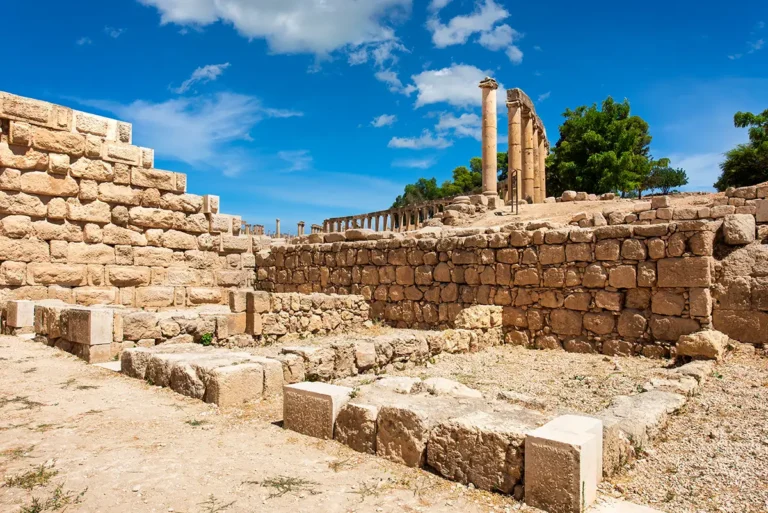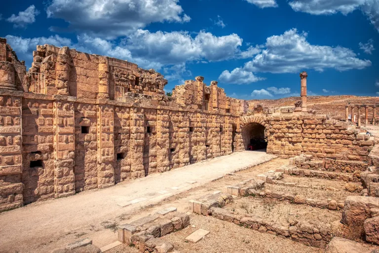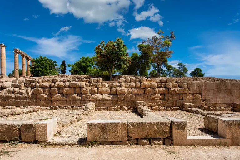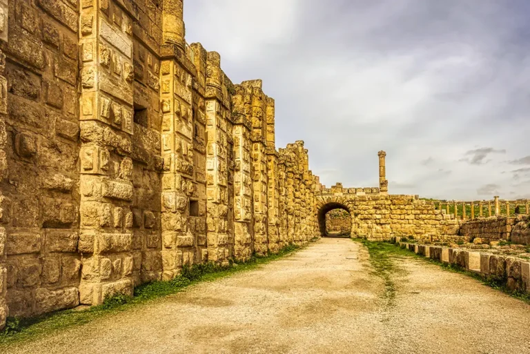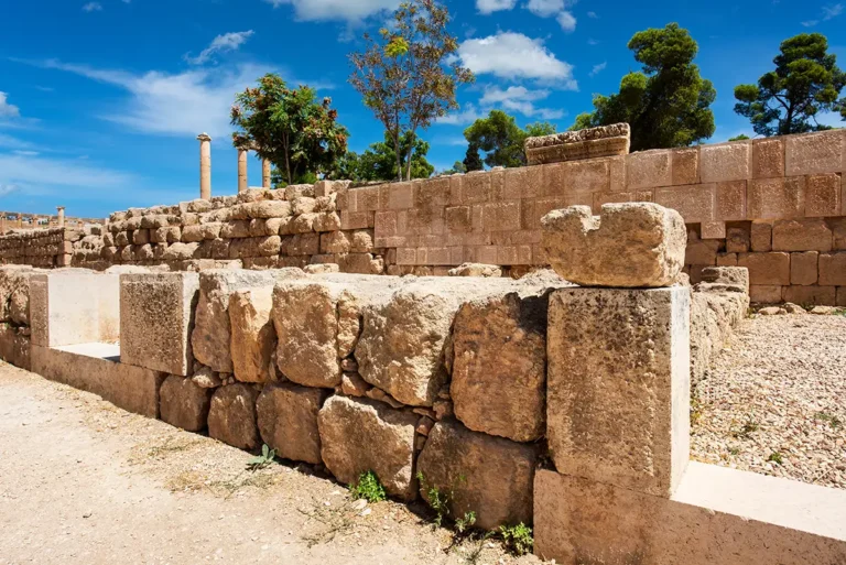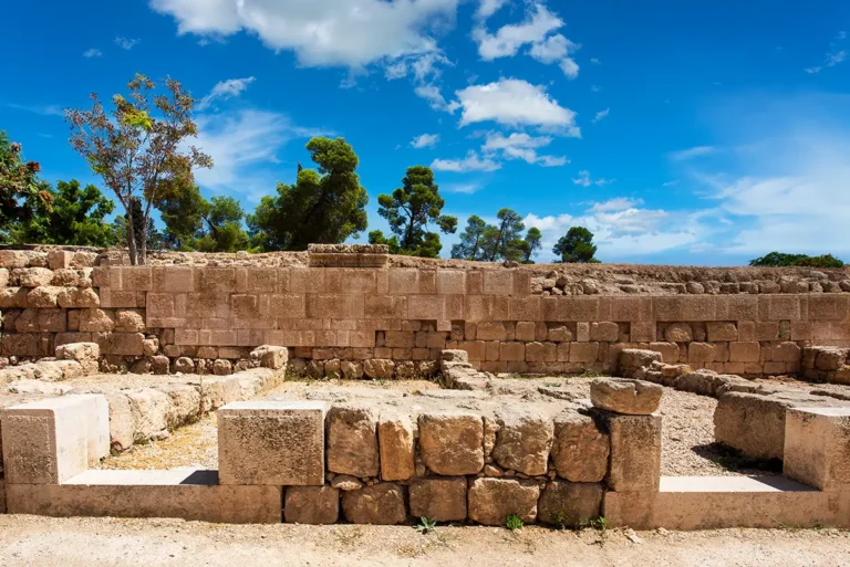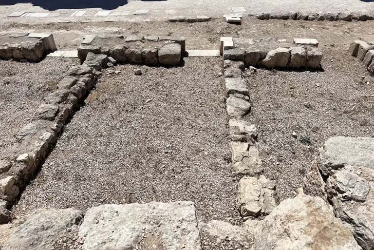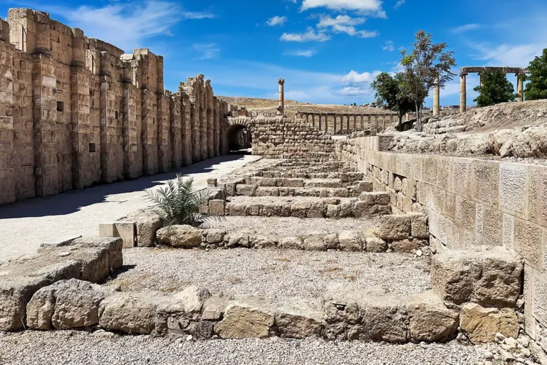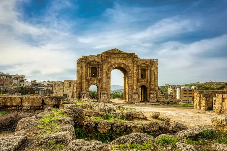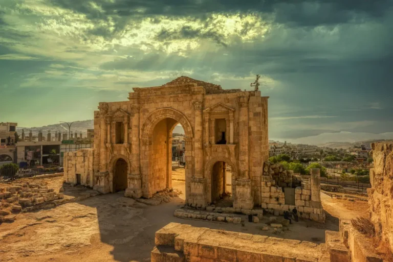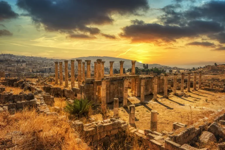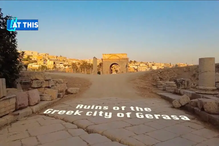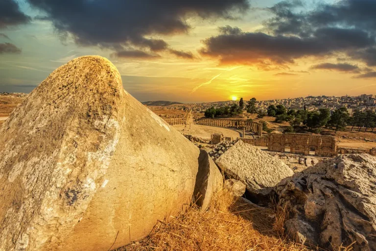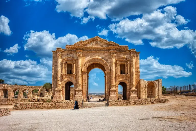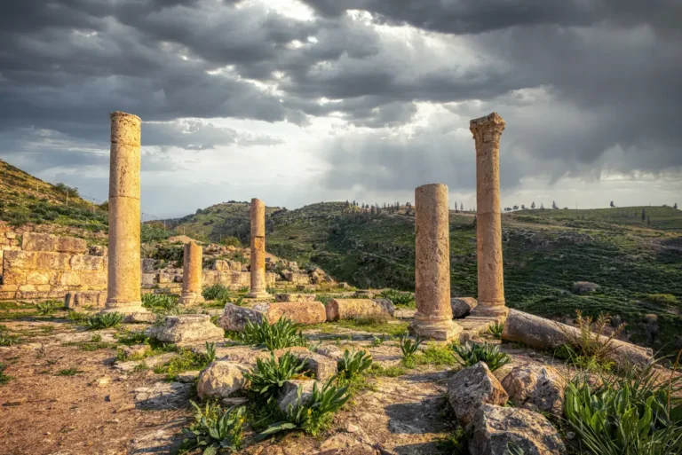

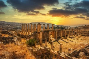
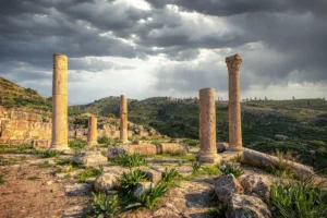
The East Souk and South Street reveal a more practical side of ancient Jerash. Here, just inside and outside the southern approach to the city, visitors can trace how a busy commercial strip developed, was damaged, rebuilt, deliberately cleared and finally transformed into a new urban street.
This was not a ceremonial monument like the Oval Plaza or the Temple of Zeus. It was a working edge of the city: a place of small workshops, pottery sellers, carpenters, metalworkers and travellers moving along the road toward Philadelphia—modern Amman. Its story spans from the early 2nd century AD to the earthquake of AD 749, showing how Gerasa adapted its streets and commercial spaces over centuries.
The East Souk & The South Street at a Glance
Location: Jerash Archaeological Park, Jordan (south of the early city limit, near the South Gate)
Built date: Around 110 AD
Purpose: A roadside market of workshops and shops serving travellers entering and leaving Jerash
Original layout: About 15 workshops along the road
Main trades: Craftsmen, carpenters, pottery merchants, bronze workers
Major change: Shops cleared around the 3rd–4th centuries AD
South Street: Built around AD 300 over the former market area
Final destruction: Earthquake of AD 749.
Where Are the East Souk and South Street?
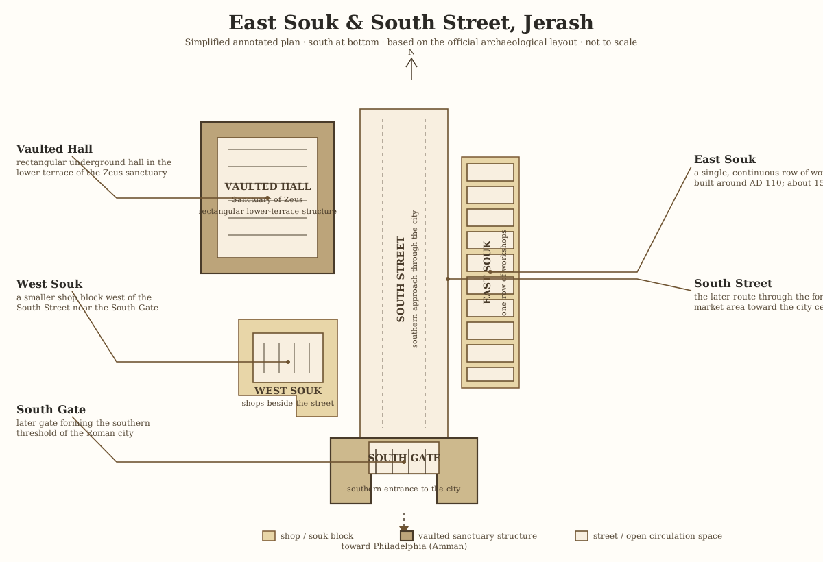
The East Souk stood along the southern edge of Roman Gerasa, near the later South Gate and the eastern side of the Sanctuary of Zeus complex. It occupied the first 50 metres of the road leading south toward Philadelphia.
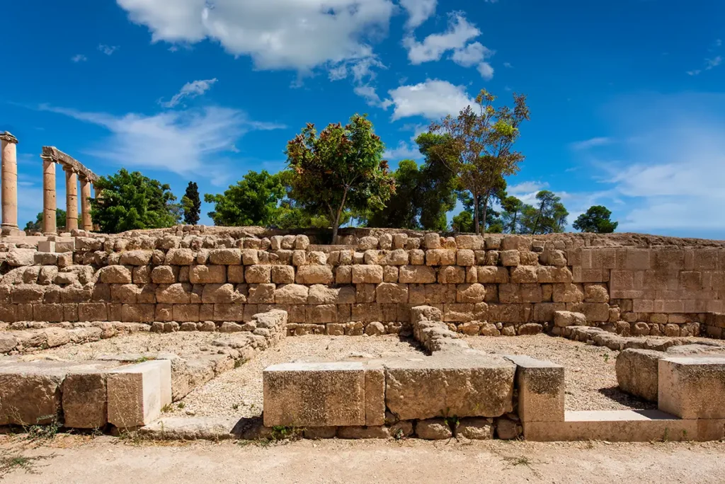
Today, the area lies between the South Gate, the Sanctuary of Zeus and the approach to the Oval Plaza. The ancient market is no longer visible as a complete row of shops, but its footprint helps explain why the road system in this part of Jerash looks different from the carefully planned colonnaded streets farther north.
The First Market Outside the City
Around AD 110, a strip of approximately 15 workshops was built immediately south of the city limit. At that time, the South Gate had not yet been constructed. The workshops lined the road used by people arriving from, or departing for, Philadelphia.
The market was positioned to catch movement at the city’s edge. Merchants could serve local residents, farmers, travellers and traders before they entered the formal urban centre. Its location made commercial sense: people on the road needed food, supplies, repairs and everyday goods.
The foundations of the southernmost shop now lie beneath the South Gate, proving that the market was older than the gate itself.
Who Worked in the East Souk?
The East Souk was a mixed artisan and retail district. Archaeological evidence suggests that its occupants included:
Craftsmen and shopkeepers.
Carpenters.
Pottery merchants.
At least one bronze worker.
These were modest, functional premises rather than monumental façades. Yet they were vital to the economy of Gerasa. The souk connected the grand civic and religious centre of the city with the ordinary commercial life that sustained it.
Fire, Repair and Reoccupation
The shops remained in use until the late 3rd century AD, when part of the city—including the East Souk—was damaged by fire. The official interpretation links this destruction with a probable raid by looters.
The market was repaired quickly and briefly reoccupied. That rapid return matters: it shows that the location remained commercially valuable even after the damage. But the rebuilding did not last for long.
A New Route to the Oval Plaza
At the turn of the 3rd and 4th centuries AD, the old shops were deliberately demolished. This was not simply abandonment; it was urban redesign.
The clearance made it possible to shift the street and create a more direct route between the South Gate and the Oval Plaza. In effect, commercial buildings that had once stood beside the approach road gave way to a clearer and more impressive entrance into the monumental heart of Gerasa.
This transformation changed the visitor experience in antiquity. A traveller entering through the South Gate could now move more directly toward the Oval Plaza, where the city’s major streets, temples and public spaces unfolded ahead.
The South Street
Around AD 300, a new South Street was constructed over the former market area. It followed a revised route, replacing the earlier strip of workshops with a more organised urban connection.
Over time, the street was again occupied by artisan workshops. This is typical of long-lived ancient cities: streets and buildings were constantly adapted as commercial needs, traffic patterns and civic priorities changed.
The sequence is particularly clear here:
A roadside market outside the early city.
Construction of the South Gate over part of that market.
Fire and short-lived repair.
Deliberate clearance of the shops.
Creation of a new street toward the Oval Plaza.
Later return of small-scale workshops.
Late Antique Use and the Earthquake of AD 749
The South Street and its workshops continued to be used into the Byzantine and early Islamic periods. The area remained part of the working city long after the great Roman monuments had been built.
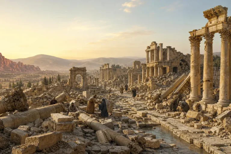
Its final major destruction came with the earthquake of AD 749, which devastated much of Jerash. The disaster ended the long sequence of occupation in this part of the city and left the layered ruins visible today.
What to Look For
The East Souk and South Street are best understood by reading the ground rather than expecting a fully reconstructed market.
Look for:
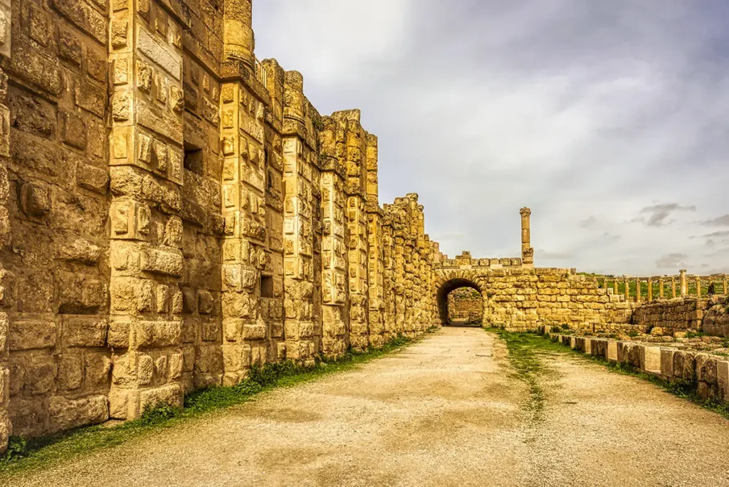
The South Gate: built later than the earliest workshops and partly over their foundations.
The route toward the Oval Plaza: the later street was designed to provide a more direct approach.
The Temple of Zeus lower terrace: the market and street developed beside this major sanctuary area.
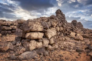
Low walls and foundations: these mark the successive commercial and street phases.
The relationship between gate, street and plaza: this is the key to understanding why the area was repeatedly rebuilt.
Visitor Tips
Visit the East Souk and South Street while walking between the South Gate, Sanctuary of Zeus and Oval Plaza. It is easy to pass through quickly, so pause near the information board and imagine the earlier road continuing south toward Philadelphia.
The area is most rewarding when combined with the South Gate and Oval Plaza: together, they explain how visitors entered ancient Jerash and how that arrival route changed over time.
Why the East Souk Matters
The East Souk is a reminder that ancient Jerash was not only a city of temples, theatres and colonnades. It was also a living economic centre where craftsmen made goods, traders served travellers and city planners repeatedly reshaped the urban fabric.
The sequence from workshops to gate, from souk to street, and from Roman commercial activity to late antique artisan occupation makes this one of the best places to see Gerasa as a changing city rather than a frozen collection of monuments.
Frequently Asked Questions
Originally, it stood just outside the southern limit of the city, beside the road leading toward Philadelphia. The later South Gate was built over part of the former market area.
The shops were cleared to shift the street and create a more direct route from the South Gate to the Oval Plaza.
The workshops appear to have been used by craftsmen, carpenters, pottery merchants and at least one bronze worker. They served travellers as well as the local population.
No. The South Street was built around AD 300 after the earlier workshop strip had been cleared. It occupied the former market area but followed a revised route.
The souk was repeatedly altered: it was damaged by fire, repaired, demolished for street realignment, reused by later workshops and finally affected by the earthquake of AD 749.
Key Moments in History
Around AD 110: A strip of about 15 workshops—the East Souk—was built just outside Jerash’s southern limit, along the road to Philadelphia, modern Amman.
2nd–3rd centuries AD: Craftsmen, carpenters, pottery merchants and a bronze worker used the shops, serving travellers and residents entering or leaving the city.
Key Moments in History
Around AD 110: A strip of about 15 workshops—the East Souk—was built just outside Jerash’s southern limit, along the road to Philadelphia, modern Amman.
2nd–3rd centuries AD: Craftsmen, carpenters, pottery merchants and a bronze worker used the shops, serving travellers and residents entering or leaving the city.
Later 3rd century AD: A fire, probably connected with a raid, damaged part of Jerash and the East Souk. The workshops were rapidly repaired and briefly reoccupied.
Around AD 300: The original shops were deliberately cleared to realign the street and create a more direct route from the South Gate toward the Oval Plaza.
Late Roman and Byzantine periods: The new South Street was used as an urban thoroughfare, while artisan workshops gradually occupied the former road alignment.
AD 749: The major earthquake devastated Jerash and ended the long sequence of commercial and street activity in the area.