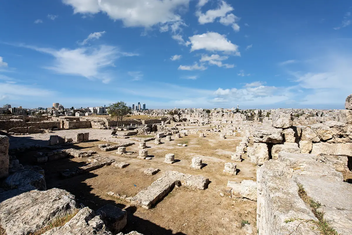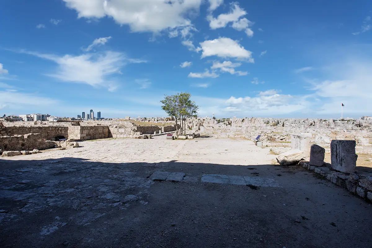















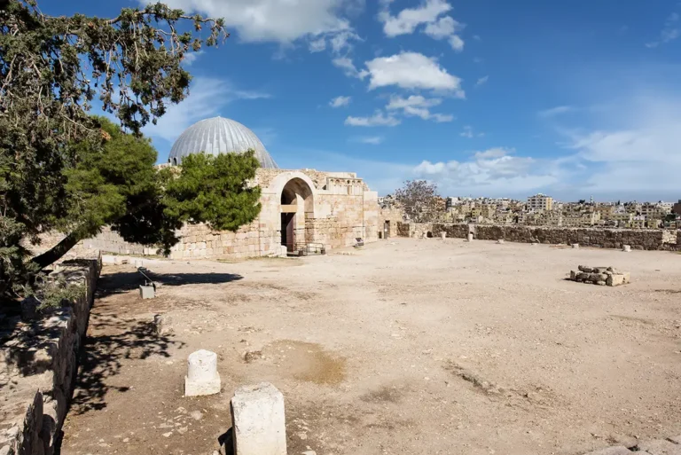
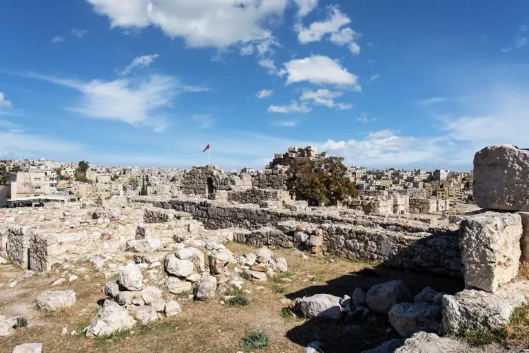


The Colonnaded Street is the paved Umayyad route, about 50 m (164 ft) long, that ran through the palace precinct on the Amman Citadel. Stone paving, raised walkways and short sections of column mark the line of the former colonnades, which led from the square in front of the Reception Hall towards the official palace area to the north.

Where Is the Colonnaded Street?
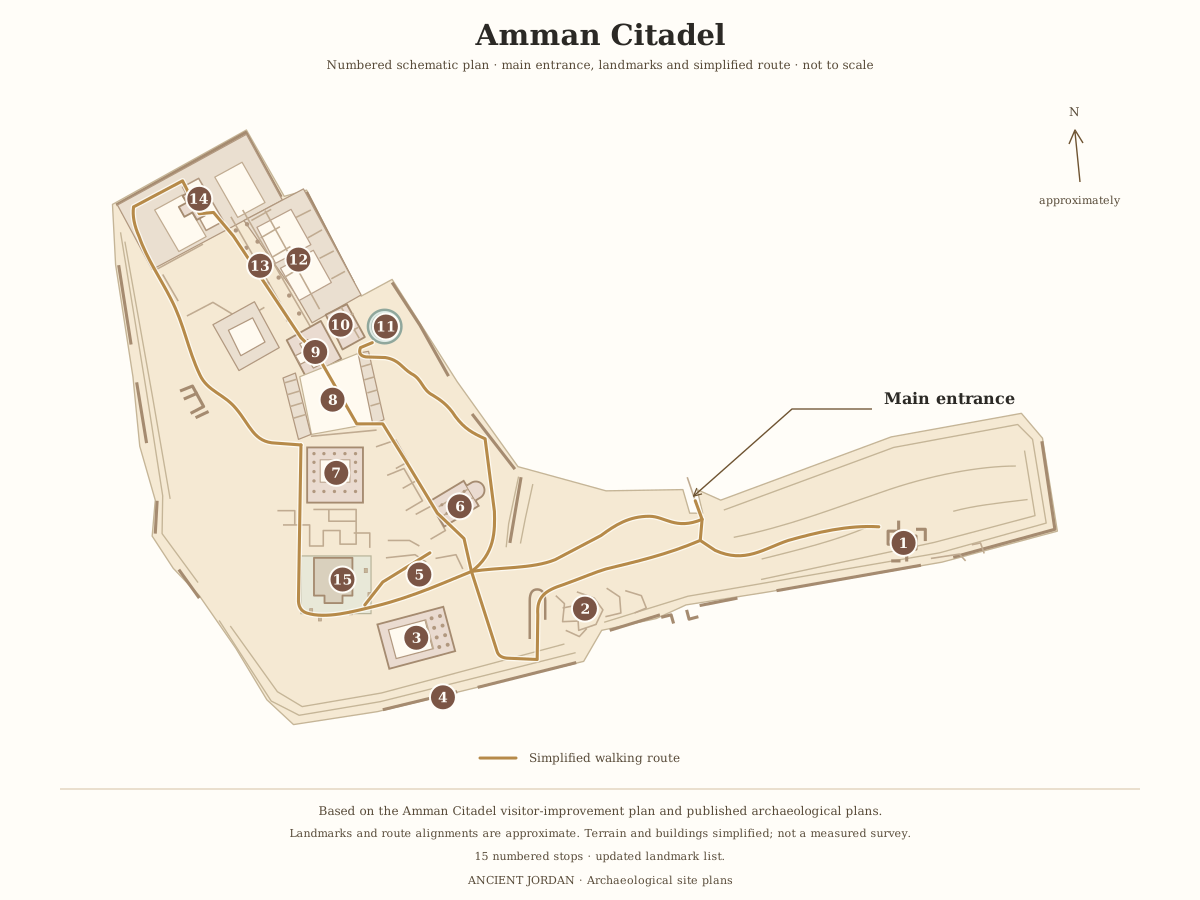
The street lies north of the Reception Hall, in the heart of the palace precinct. It is the thirteenth stop on our Amman Citadel route. On the plan, it runs between residential buildings D and E to the west and C and B to the east, which are the Umayyad Residential Units.
Historical Context and Origin
The Umayyads laid out the street in the early 8th century AD as a principal route through their palace complex. It connected the entrance square, with the Reception Hall at its southern end, to the northern official reception area. Colonnades bordered the route, and side passages gave access to the courtyard buildings on either side.
A major earthquake in AD 748–749 devastated the palace complex and disrupted its original architectural arrangement. In the early Abbasid period parts of the surrounding buildings were reoccupied and subdivided, changing the character of the former palace precinct.
Architectural Design
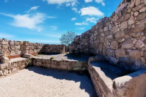
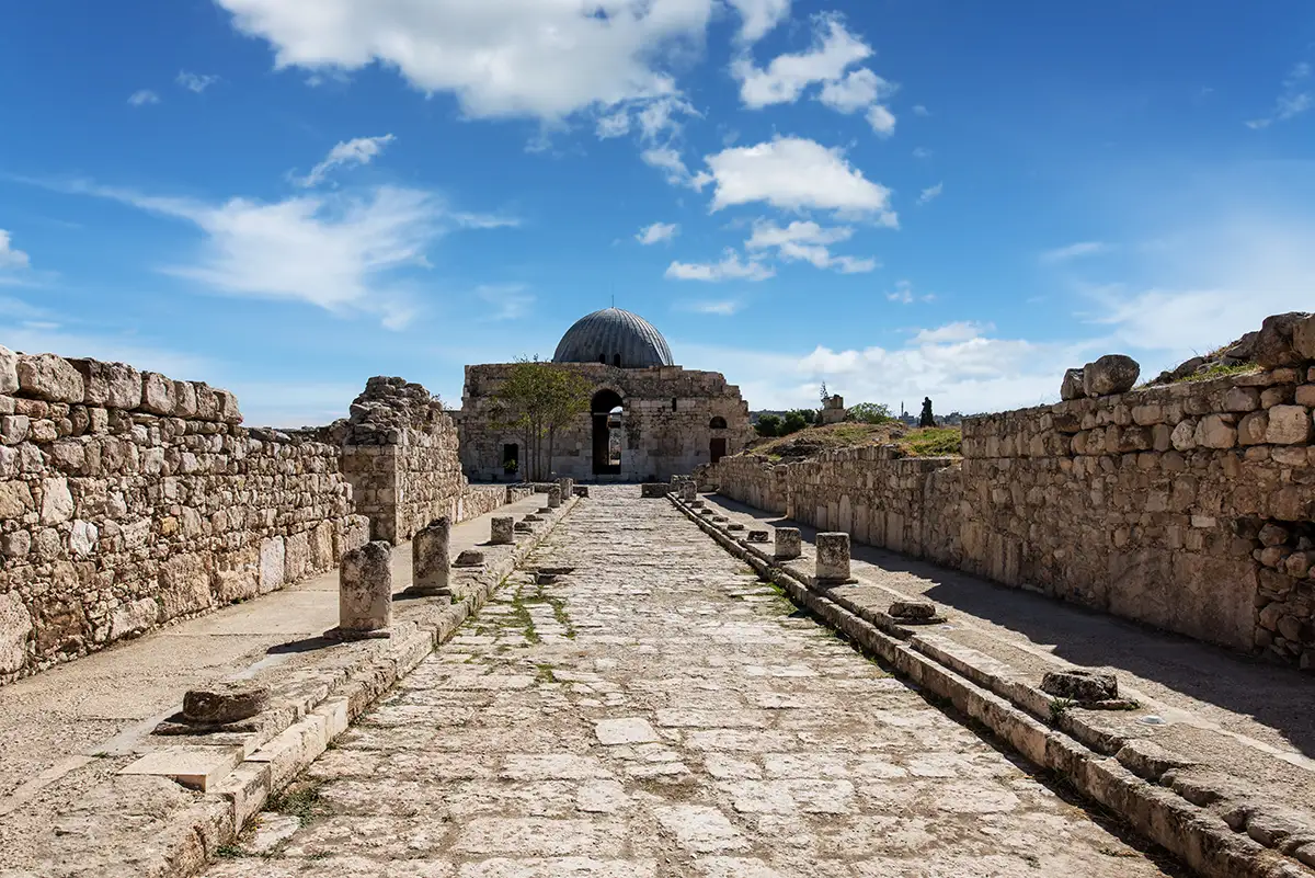
The street is a stone-paved passage about 50 m (164 ft) long with raised walkways along both edges, where the colonnades once stood. Surviving column sections and bases mark their positions. At the southern end, a paved square opens towards the Reception Hall, and steps at the northern end lead up to the official palace precinct.
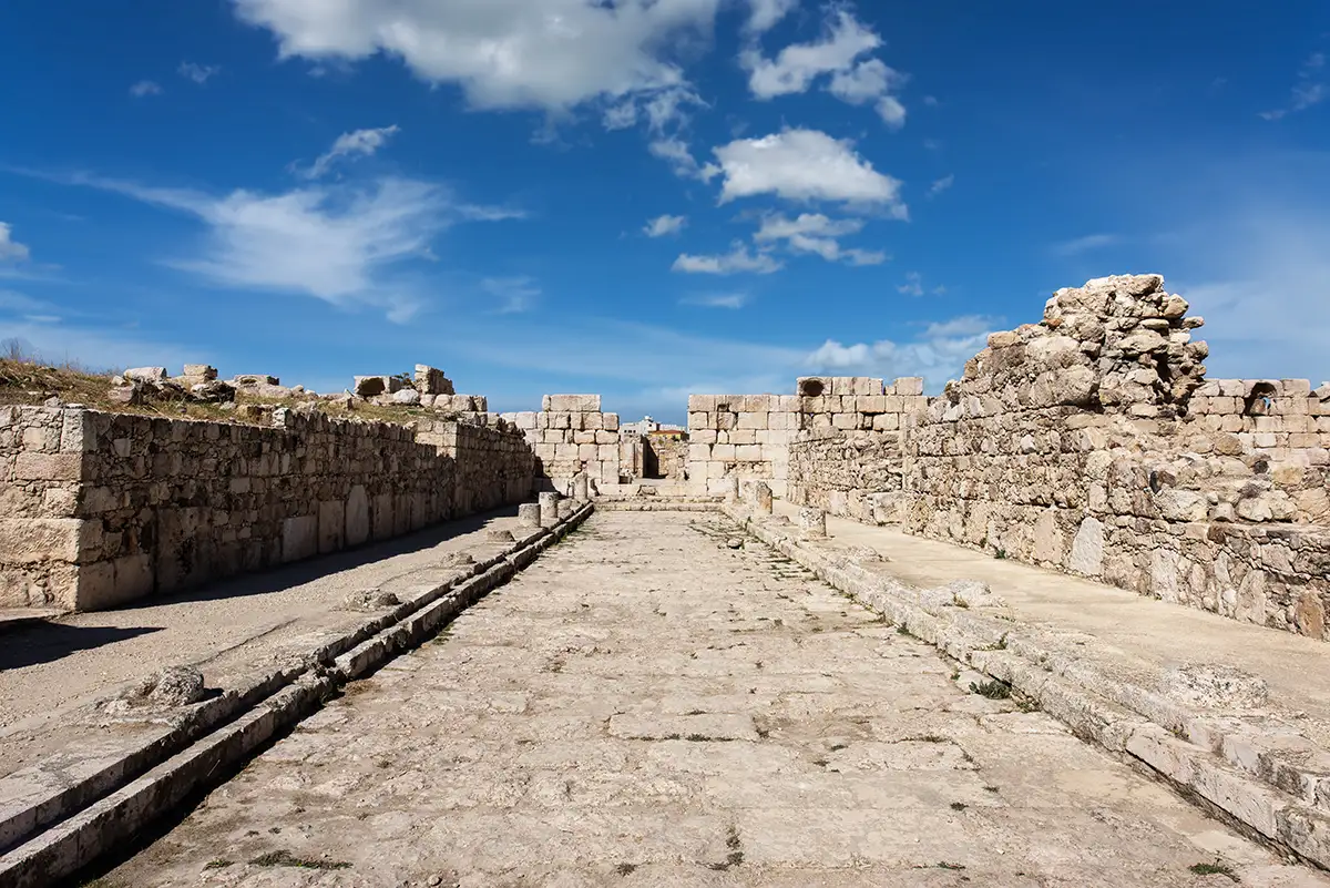
Stone Paving
A paved passage running through the palace precinct.
Raised Walkways
Raised edges mark where the colonnades bordered the route.
Column Sections
Short surviving column sections and bases show the former colonnade line.
Two Ends
A square opens to the Reception Hall in the south, and steps lead to the palace precinct in the north.

Colonnaded Street, Amman Citadel
Interpretive plan of the colonnaded street and its surroundings, after Almagro, Jiménez and Navarro (2000)
Open drawingA Route Between Palace and Houses
The street was a link as well as a passage. On one side it served the formal reception hall and the official area beyond, and on the other the residential buildings that lined it. Walking along it shows how the palace was arranged around a single axis.
Archaeological investigations revealed the street and the adjoining buildings during the 20th century. Conservation has since helped make their layout legible to visitors.
Visiting the Colonnaded Street Today
The street is part of the Amman Citadel visit and is covered by the Citadel ticket (3 JOD for visitors, 0.25 JOD for residents) and by the Jordan Pass. The Citadel is open from 8:00 to 16:00 from November to March, to 17:30 in April and May, and to 18:30 from June to September; in Ramadan it is open from 9:00 to 17:00.
Visitors can walk throughout the street. Follow the paving north from the Reception Hall and look for the raised edges, column sections and the doorways of the adjoining buildings. For the best view of its length, stand at either end and look along the street. About 10 minutes is enough.
Further reading: Antonio Almagro, Pedro Jiménez and Julio Navarro, “Excavation of Building F of the Umayyad Palace of Amman: Preliminary Report”, Annual of the Department of Antiquities of Jordan 44 (2000), pp. 433–458.