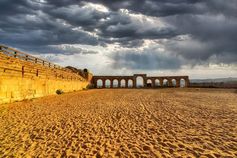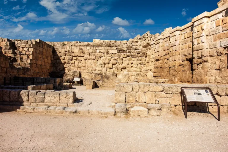




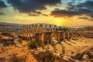


This 360-degree panorama places you beside the Hippodrome in the southern part of Jerash’s archaeological site, where a long limestone wall stretches alongside a broad gravel pathway. Warm sunlight reveals the rough faces of the masonry blocks and the carefully shaped stones framing a sequence of low doorways. Shadowed openings interrupt the wall’s regular courses, while an arched feature rises above it near the foreground. Follow the receding line of the structure to appreciate its length, then look upwards to the railings along its upper edge. Beyond, the open archaeological landscape extends beneath a deep blue sky streaked with thin clouds.
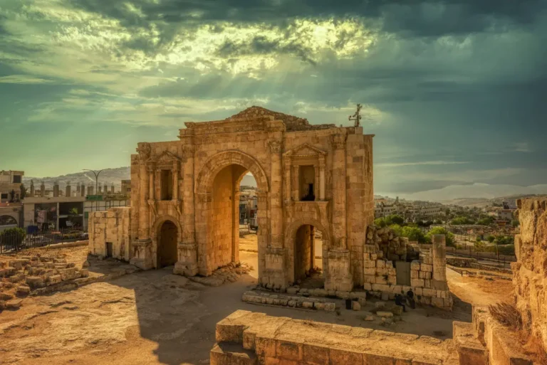
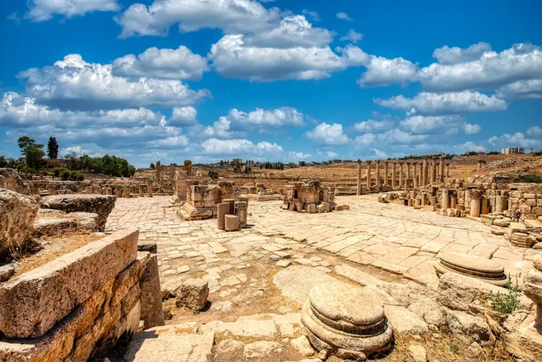
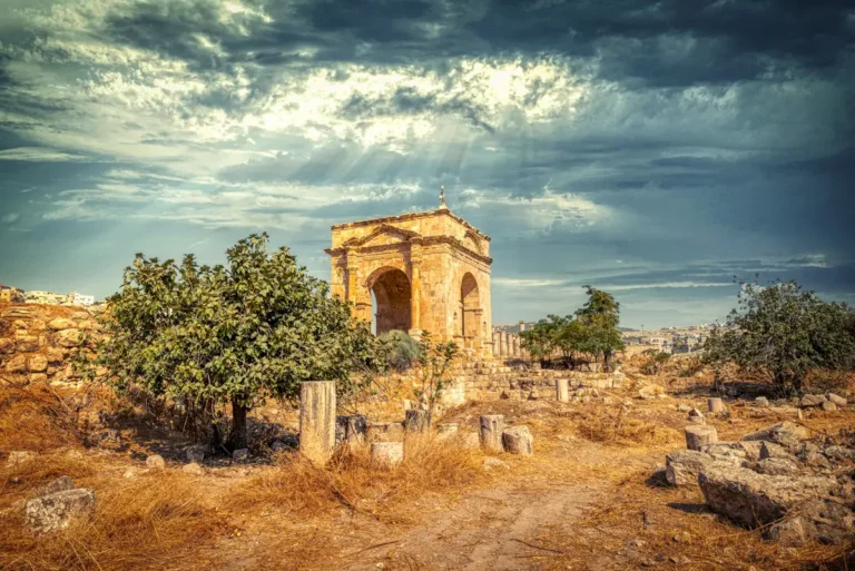
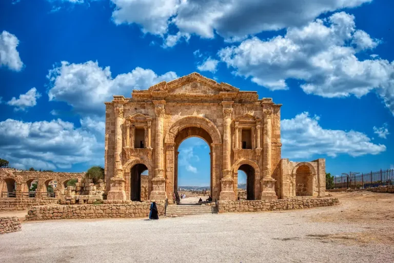
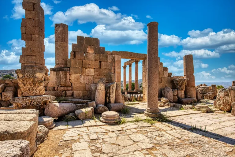
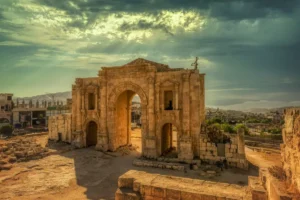
Turn left to bring Hadrian’s Arch into view, its three openings providing a prominent landmark near the Hippodrome. Continuing around reveals the low foundations of the Byzantine Church of Marianos, adding another period of Jerash’s history to the scene. To the right, the pathway follows the stadium’s eastern side towards the South Gate. This viewpoint helps you understand how these neighbouring monuments relate spatially, while closer inspection draws attention to individual entrances and variations in the stonework. The panorama offers both an overview of Jerash’s southern approach and an opportunity to examine the Hippodrome’s exterior at your own pace.