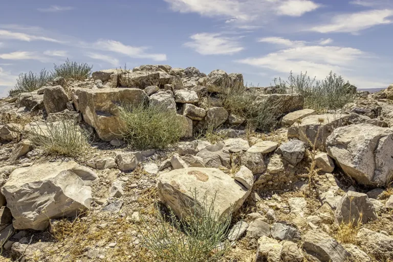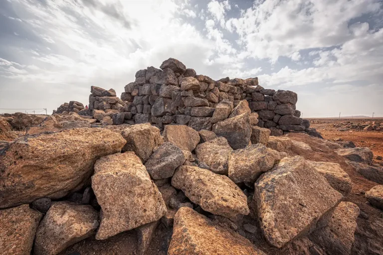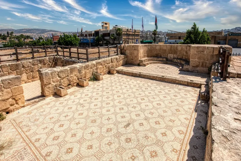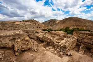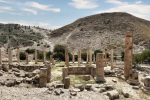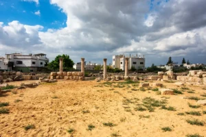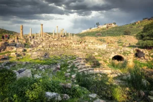

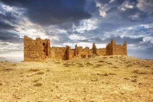
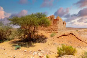



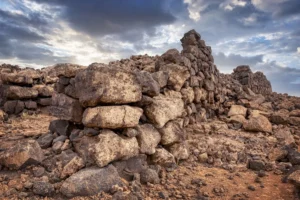


Experience Khirbet el-Fityan from every angle with this immersive 360° panorama of one of Jordan’s little-known Roman frontier forts. Located just 1.5 km from the legionary fortress of Lejjun (Betthorus), the panoramic view captures the fort’s rectangular layout, surviving stone walls, corner towers, and the surrounding open landscape that once formed part of the Roman Limes Arabicus. Explore the ruins at your own pace and appreciate the strategic position that allowed Roman soldiers to monitor the nearby roads and countryside nearly 1,700 years ago. The panorama offers a unique perspective on this overlooked archaeological site and its connection to Jordan’s rich Roman military heritage.
Begin with the wall alignments, following their course to see how they define the fort’s outline. Compare the corners with the straighter stretches of masonry between them. The surrounding open terrain provides a useful reference for understanding the enclosure’s position. Looking down at the surviving stones reveals details that can be less obvious in a distant view. Turn between the ruins and the countryside to appreciate both the structure’s footprint and its exposure within the landscape. This closer examination complements the broader impression of a frontier outpost. Use the panoramic controls to compare the details close to the viewpoint with the wider setting around them.