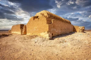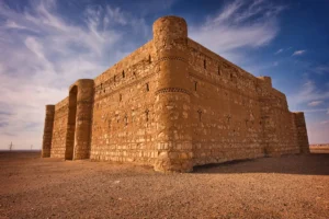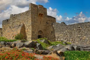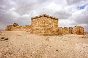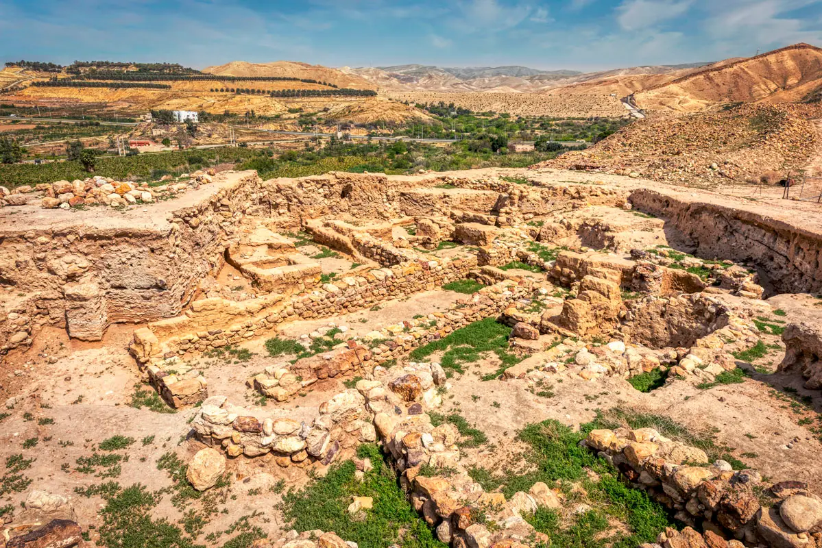


On the plain of the Jordan Valley north-east of the Dead Sea, Tell el-Hammam is one of the largest Bronze Age city mounds in the southern Levant. Excavations have uncovered massive Middle Bronze Age defences and a thick layer of ash and debris that marks the violent end of that city.
Where Is Tell el-Hammam?
The mound lies in the eastern Jordan Valley, about 13 km north-east of the Dead Sea and about 12 km east of the Jordan River, some 150 metres below sea level. Its neighbour Tell er-Rameh, often identified with Roman Livias, is less than 3 km to the north-west.
Historical Context and Origin
People lived here from the Neolithic and Chalcolithic periods onward, and the town grew through the Early and Middle Bronze Ages into a fortified city. The latest Middle Bronze Age layer is a deposit of ash and destruction debris, which the excavators date by its pottery to about 1650–1600 BC; how far it extends across the site is debated. Later an Iron Age city with a fortress rose on the upper mound, and there are Roman and Byzantine remains.
Architectural Design
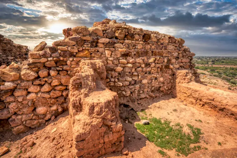
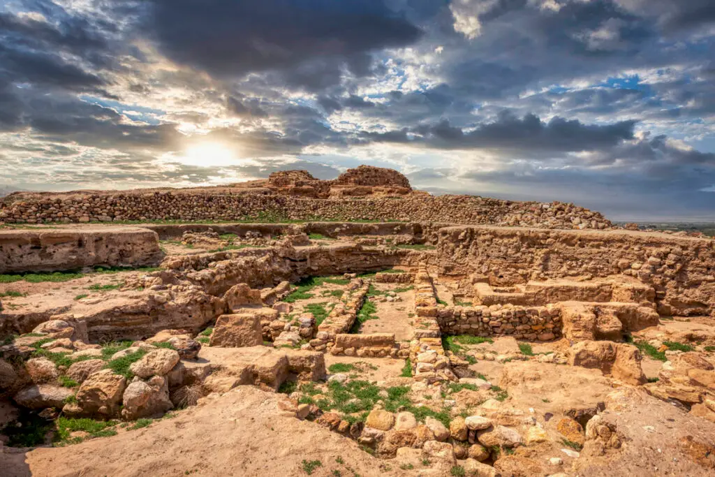
The site covers about 36 hectares: a fortified upper mound rising some 30 metres above the plain, and a lower town to the south-west, now farmland. The Middle Bronze Age city was defended by a mudbrick rampart and a city wall about 4 metres thick, with a gateway and towers; an earlier Early Bronze Age gate was later blocked. A small Byzantine bath was found in 2011.
Middle Bronze Age Defences
A mudbrick rampart and a city wall about 4 m thick, with a gateway and towers.
The Destruction Layer
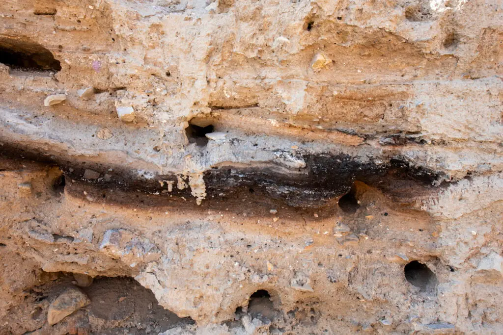
A layer of ash and debris, up to about a metre thick, ends the Middle Bronze Age city.
The Upper and Lower Mound
About 36 ha in all — the upper mound fortified, the lower town now farmland.
Later Layers
An Iron Age fortress on the summit and a small Byzantine bath.
Identifications
Several ancient names have been proposed for the site. The explorer Nelson Glueck suggested Abel-Shittim, where the Israelites camped before crossing the Jordan; others link it to Roman Livias. The excavators have proposed biblical Sodom, but most scholars have not accepted this identification.
Excavation and Research
Glueck visited in 1941, and Kay Prag of the British Institute surveyed and tested the mound between 1975 and 1990. Large-scale excavations led by Steven Collins of Trinity Southwest University began in 2005–2006.
Visiting Tell el-Hammam Today
The mound is an active excavation site: walk around the trenches on the upper mound to see the walls and, in the trench sections, the dark band of the destruction layer. The Jordan Valley is very hot for most of the year — come early, with water and sun protection.