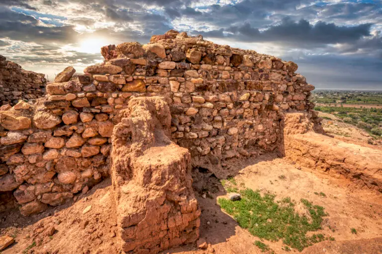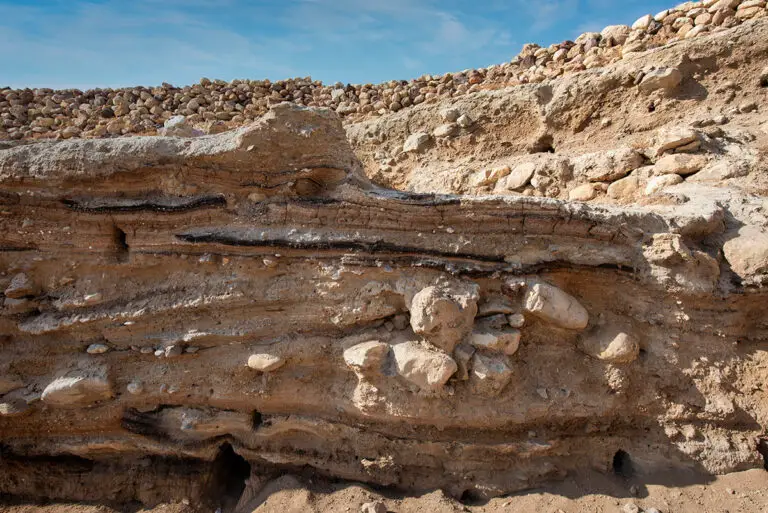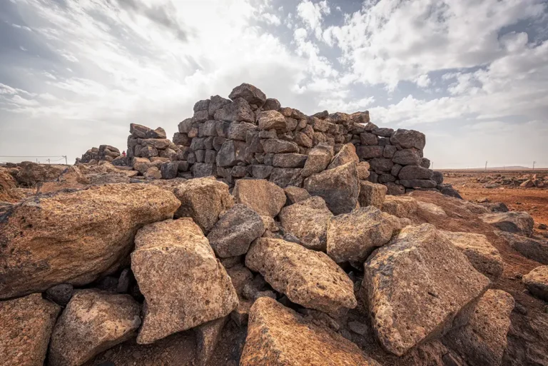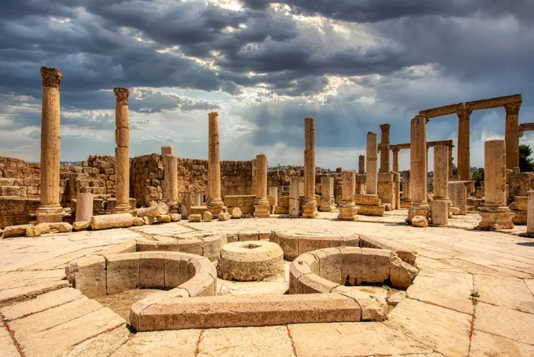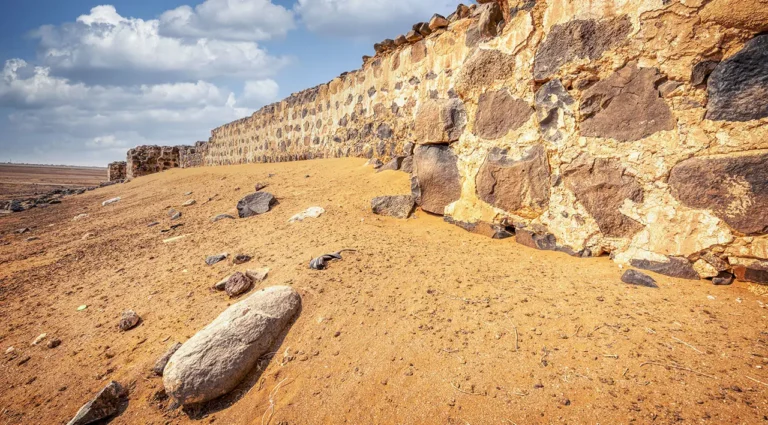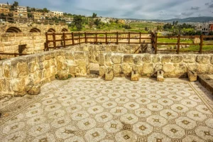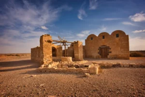
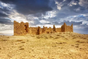
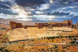
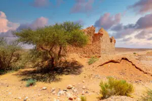
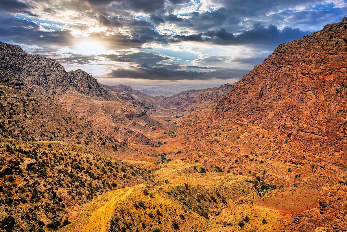

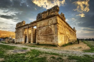
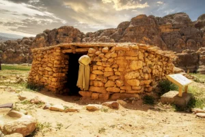
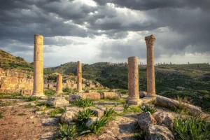
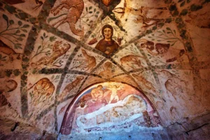
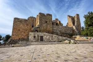
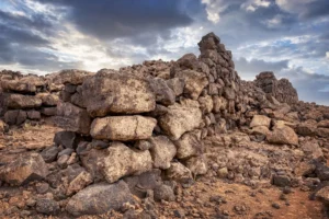
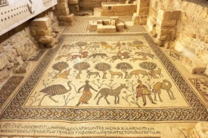


Tell El-Hammam is an archaeological site located in the eastern Jordan Valley, northeast of the Dead Sea. It has been identified as a major Bronze Age city that flourished for over a millennium, from approximately 3500 BCE to 1540 BCE. The site contains multiple occupation layers, including Early, Middle, and Late Bronze Age remains, as well as some Iron Age and Hellenistic-period artefacts. Its strategic location near trade routes and water sources made it an important urban centre in ancient times, featuring defensive walls, monumental architecture, and complex urban planning.
Tell El-Hammam has gained significant attention in recent years due to a controversial hypothesis proposed by some researchers, suggesting it may be the biblical city of Sodom. This theory is based on the city’s sudden and extreme destruction layer, which some claim resulted from a high-temperature event such as a meteor airburst. However, this interpretation is not widely accepted among archaeologists, with many urging caution and emphasising the need for further evidence. Regardless of these debates, the site remains a key location for understanding urban development and societal complexity in the southern Levant during the Bronze Age.