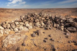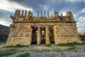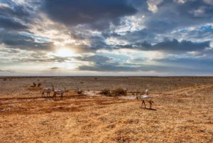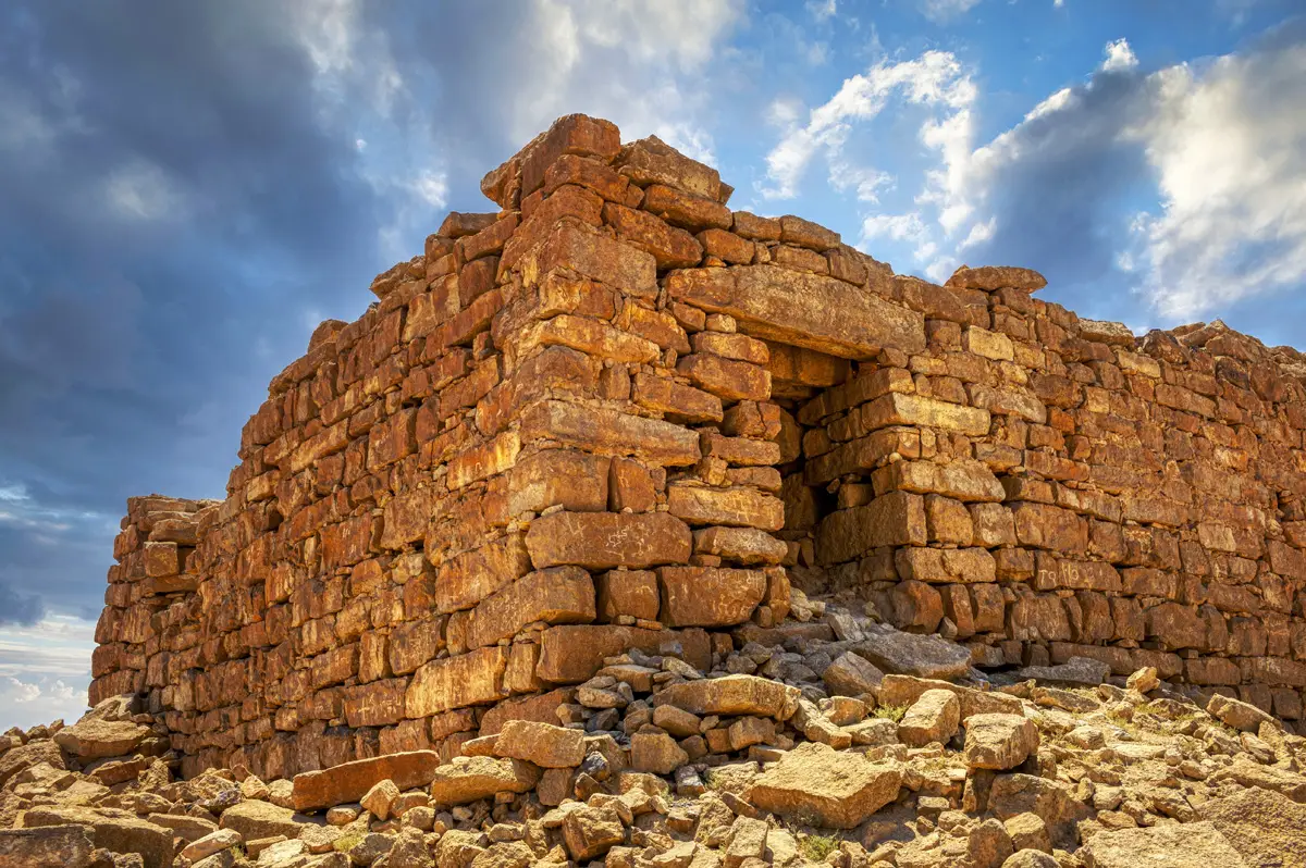
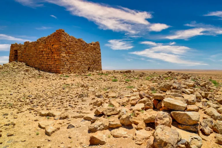


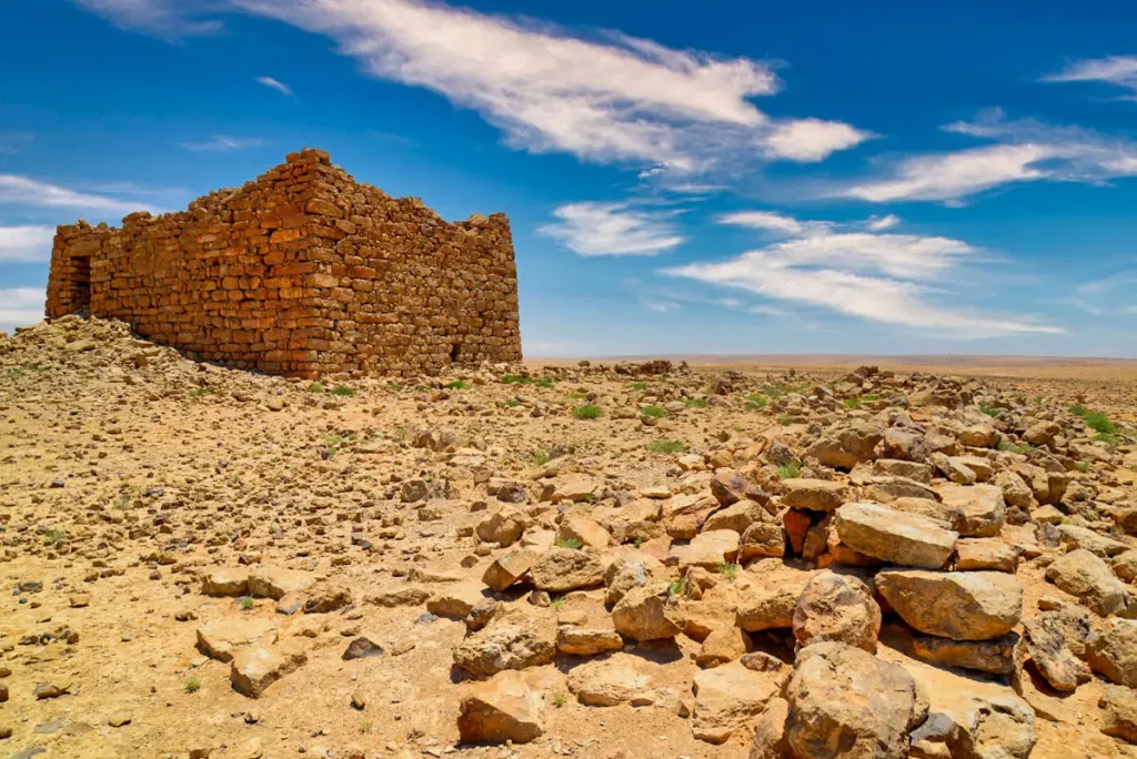
On a hilltop with wide views over the Karak plateau rises the square tower of Qasr Abu El-Kharaq, its dry-stone walls sloping inwards like a pyramid. Within sight of Qasr Bshir and Qasr El-Al, it was one of a network of watch-posts on this open steppe.

Where Is Qasr Abu El-Kharaq?
The tower stands on a hilltop about 5 km north-west of Qasr Bshir, in sight of both Qasr Bshir and Qasr El-Al, about 4 km to the north-east. It is reached by desert tracks from the Desert Highway near Qatrana.
Historical Context and Origin
When Nelson Glueck visited in 1936, most of the pottery he found was Iron Age, which he called Moabite, with a little Nabataean ware. Later surveys of the Limes Arabicus Project confirmed that most sherds are Iron Age II and the rest Nabataean or Early Roman, describing it as a tower founded in the Iron Age or by the Nabataeans. No inscription dates the building, and the site was visited repeatedly in later periods.
Architectural Design
The tower measures about 22 × 18 m. Its dry-stone walls have a battered, inward-sloping outer face with dressed corner blocks; Glueck saw them standing over 8 m high at the best-preserved corner, with traces of plaster. An intact entrance is set slightly raised near the east end of the north wall. At the base of the west wall, a small opening leads into a passage running north, now blocked by rubble.
Battered Walls
Dry-stone walls sloping inwards, over 8 m high at one corner.
Raised Entrance
An intact doorway set high in the north wall.
Hidden Passage
A blocked passage runs under the west wall.
Old Enclosure
The tower stands against an enclosure about 60 m square.
A Tower and Its Enclosure
Aerial photographs show that the tower is built against the north wall of an enclosure about 60 × 60 m, which may be older than the tower itself. Together with Qasr El-Al and the Roman fort of Qasr Bshir, it formed part of a landscape of watch-posts that could see one another across the plateau.
Destruction, Rediscovery, and Restoration
Nelson Glueck described the tower in 1936, and the Limes Arabicus Project and David Kennedy’s aerial survey recorded it later. It has never been excavated or restored.
Visiting Qasr Abu El-Kharaq Today
The site is unfenced and free, with no facilities. It can only be reached by 4×4 and is hard to find, with no signs anywhere; the GPS position is 31.3654, 35.9418. Allow about 30 minutes, and combine it with Qasr Bshir. See our Qasr Abu El-Kharaq travel guide for directions.
Further reading: Livius — Mobene (Qasr Bshir) and the Limes Arabicus.