

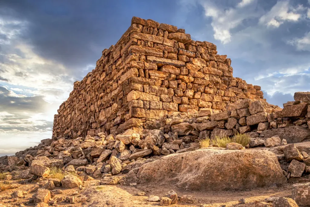
On a hilltop above a steep cliff on the Karak plateau, the massive tower of Qasr El-Al looks out over the steppe. It was first built in the Iron Age, perhaps as one of the Moabite fortresses of the region, and was occupied again by the Nabataeans.
Where Is Qasr El-Al?
The site lies on a hill at about 845 m above a north-facing cliff, about 6 km north of Qasr Bshir and about 4 km north-east of Qasr Abu El-Kharaq. It is reached by desert tracks from the area of Qasr Bshir, off the Desert Highway near Qatrana.
Historical Context and Origin
Pottery collected on the surface shows that the site was founded in the Iron Age; Nelson Glueck counted it among a chain of Moabite fortresses. The largest group of sherds is Early Roman and Nabataean, with a smaller group from the Early Byzantine period. S. Thomas Parker, who surveyed the site, found little evidence that the Roman army used it, and did not confirm it as part of the Roman frontier line, though its position is strategic.
Architectural Design
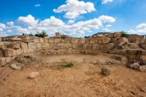
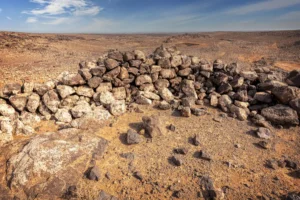
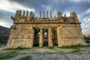
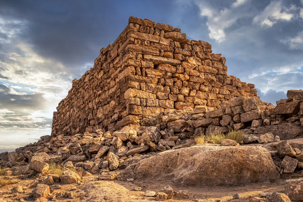
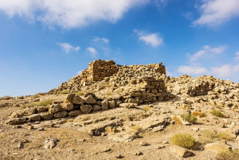
A walled enclosure of about 60 × 68 m, with walls about 1.5 m thick and traces of rooms along its inner face, surrounds a dominant tower of about 16 × 20 m. The tower is built of huge, roughly shaped blocks and still stands 4–6 m high in places. An inscription was recorded on its north wall.
Megalithic Tower
A tower about 16 × 20 m built of huge blocks.
Walled Enclosure
An enclosure about 60 × 68 m with rooms along its walls.
Rock-cut Cisterns
Cisterns and caves cut into the rock below the site.
Wide Views
Views to Qasr Bshir and the neighbouring watch-posts.
Cisterns and Caves
Many cisterns and shallow caves are cut into the bedrock south-east of and below the site, collecting the winter rain. From the hilltop, Qasr Bshir, Qasr Abu El-Kharaq and other watch-posts are in view.

Destruction, Rediscovery, and Restoration
Brünnow and Domaszewski photographed the site in 1897, Alois Musil visited in 1900, and Nelson Glueck in 1936–37. S. Thomas Parker surveyed it in 1976 and again during the Limes Arabicus Project. It has never been excavated or restored.
Visiting Qasr El-Al Today
The site is unfenced and free, with no facilities. It can only be reached by 4×4 and is hard to find, with no signs anywhere, so bring GPS directions. Allow about 30 minutes, ideally together with Qasr Bshir. See our Qasr El-Al travel guide for directions.
Further reading: Livius — Mobene (Qasr Bshir) and the Limes Arabicus.