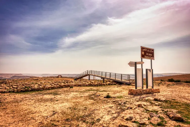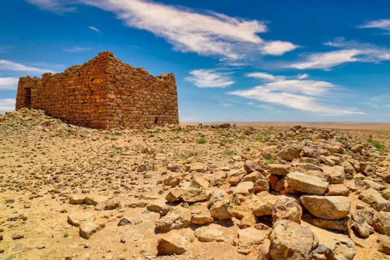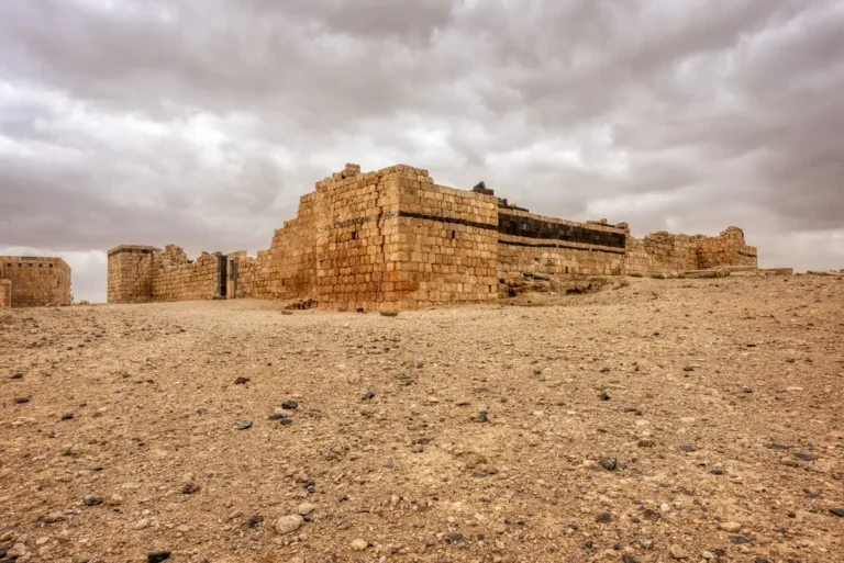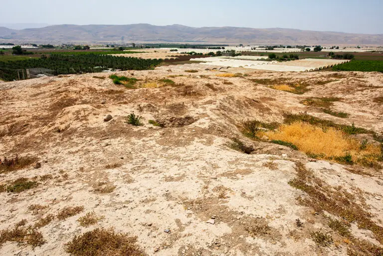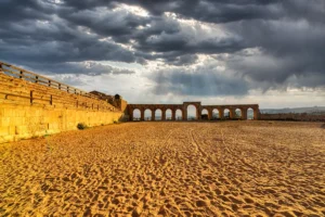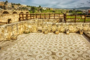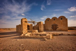

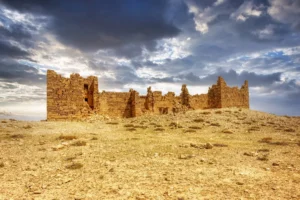
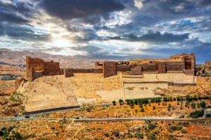


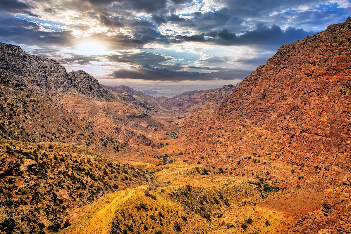




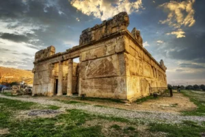
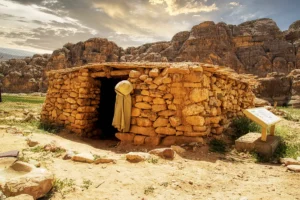



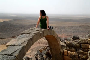
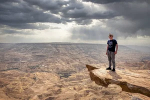
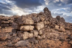


A 360 panoramic view of the ancient site of Al Lahun reveals a dramatic landscape perched above the rugged cliffs of Wadi Mujib, where layers of Jordan’s history unfold across the rocky plateau. Scattered stone walls, ruined fortifications, and the remains of ancient dwellings stretch across the terrain, reflecting centuries of occupation from the Bronze and Iron Ages through the Nabataean, Roman, Islamic, and Ottoman periods. The panorama captures the site’s commanding position along historic trade routes, with sweeping desert valleys, weathered limestone structures, and traces of temples, presses, and defensive walls blending into the natural scenery. Under the wide Jordanian sky, the silence and openness of Al Lahun create a powerful atmosphere that evokes the resilience and continuity of human settlement in this remote corner of Moab.
Follow the surviving wall lines across the plateau to distinguish individual enclosures from the spaces between them. The view is especially helpful for placing these fragments within the surrounding terrain. Look closely at the weathered stones before turning towards the cliffs and valleys beyond. This change of scale gives a clearer sense of how the buildings occupy the hilltop. The panorama encourages comparison of visible structures without assuming that every fragment belongs to the same period of occupation.