

Wadi al-Hasa was one of the most dangerous crossings on the pilgrim road: its winter floods could sweep away men and animals. The Ottomans built a bridge and a paved road across it, and later a fort with a reservoir to guard the crossing.
Where Is Qal’at Al-Hasa?
The fort stands on the south bank of Wadi al-Hasa beside the Desert Highway, about 140 km south of Amman, in Tafila Governorate. The Hejaz Railway station of al-Hasa lies about 5 km to the south-east.
Historical Context and Origin
Al-Hasa appears as a halt on the Hajj itinerary of 1563. Because flash floods in the wadi were often deadly, the governor of Damascus, Abdullah Pasha al-Aydinli, had a bridge and a paved approach road built in 1730–33; they are the oldest structures on the site. The fort followed in 1760, under Sultan Mustafa III, as recorded by a building inscription in its first-floor prayer room, now lost. In 1779 the traveller Mehmed Edib described the bridge, fort and cistern.
Architectural Design
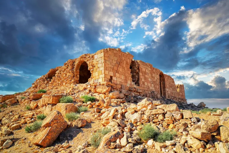
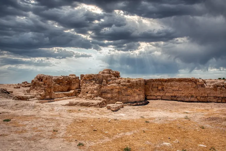
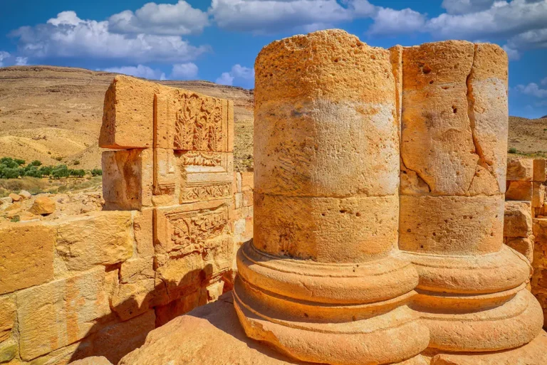
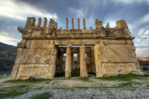
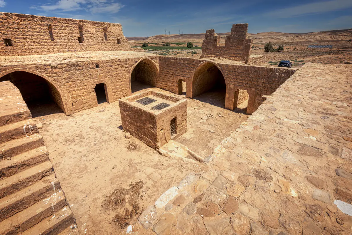
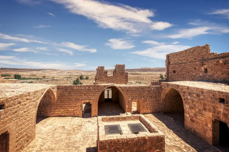
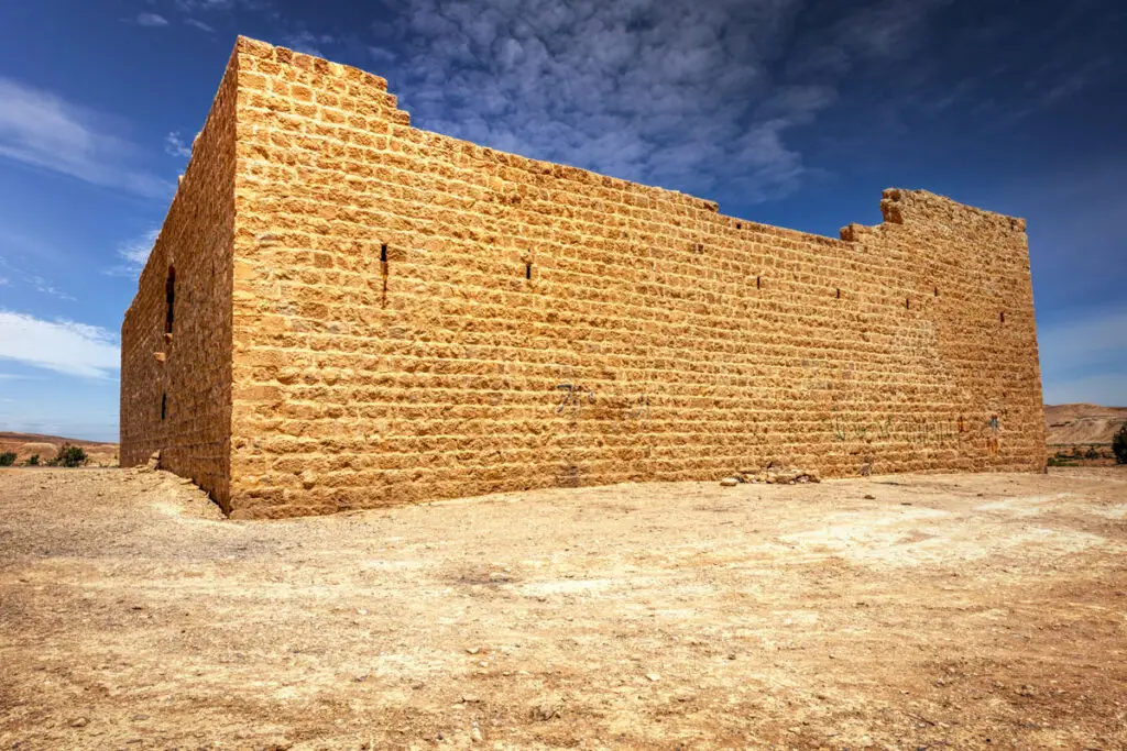
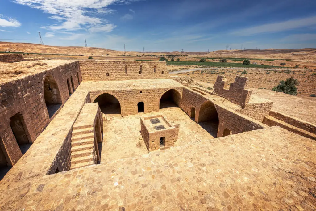
The gate lies in the middle of the south wall, under a pointed vault. It leads to a courtyard 12.5 m square, with a tall structure over a well about 10 m deep at its centre. Nine rooms surround the courtyard on the ground floor. On the first floor, the southern range has barrel-vaulted rooms on either side of a central iwan with a plain mihrab. The north wall is of fine ashlar; the others are of rougher limestone. Towers stand at the corners, and slit windows and gun slits pierce the walls.
Ottoman Bridge
A bridge and paved road of 1730–33 over the flood-prone wadi.
The Courtyard
A 12.5 m courtyard with a well housing at its centre.
Mihrab Room
A first-floor iwan with a plain mihrab, reached by the stairs, once held the building inscription.
The Reservoir
A plastered reservoir 50 m east, linked to the well by a channel.
The Bridge over Wadi al-Hasa
The two-arched bridge and the paved road were built to carry the caravan safely over the flood channel. A plastered reservoir about 20 m square, with steps in one corner, lies 50 m east of the fort, and an underground channel links it to the courtyard well. In the 1860s travellers found guards whose families had lived here for generations, tending a small garden between the fort and the cistern.
Destruction, Rediscovery, and Restoration
An inspection in the early 19th century reported earthquake damage to the fort and flood damage to the bridge. The Hejaz Railway passed al-Hasa in the early 20th century, and in 1918 Arab forces captured and destroyed the railway station. The Wadi el-Hasa Survey recorded the fort in the early 1980s, and it was restored in the late 1980s and early 1990s, when the south wall was partly rebuilt.
Visiting Qal’at Al-Hasa Today
Entry is free, and you can climb to the first floor. Allow about 30 minutes for the fort, the reservoir and the bridge. See our Qal’at Al-Hasa travel guide for directions.
Further reading: Petersen, The Medieval and Ottoman Hajj Route in Jordan (2012).