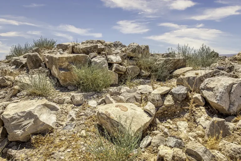
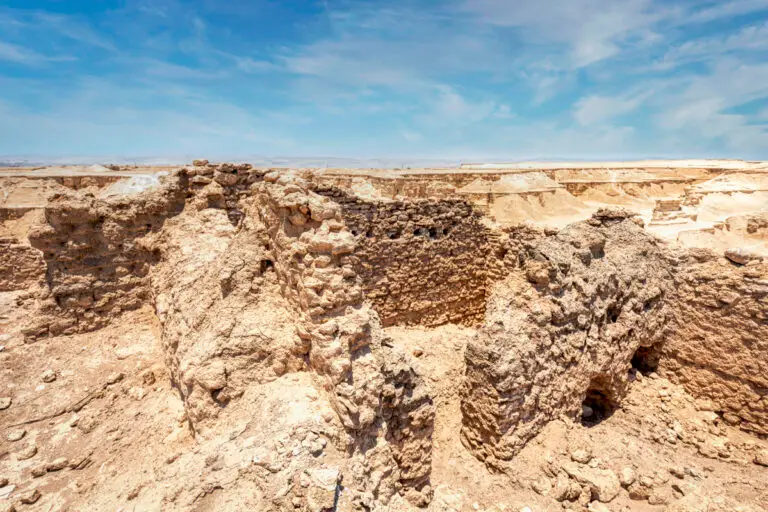


On the Lisan peninsula, the tongue of land that reaches into the Dead Sea, a white plateau of eroded marl hides the ruins of a monastery. Deir el-Kattar el-Byzanti was home to a monastic community for centuries, from the Byzantine period into early Islamic times.
Where Is Deir el-Kattar el-Byzanti?
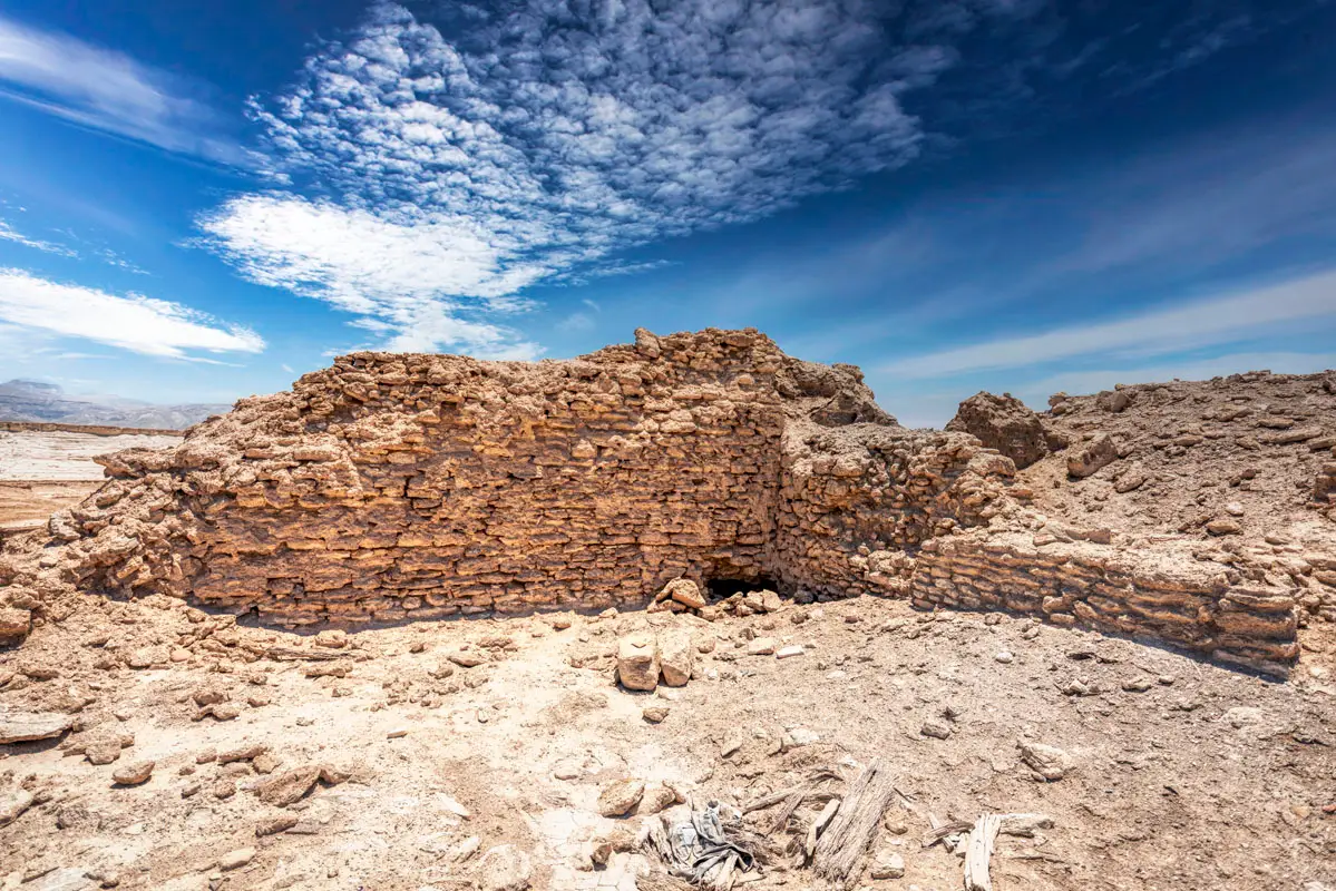
The monastery lies on the Lisan peninsula, about 6 km west of al-Mazra’a in the southern Dead Sea plain, in Karak Governorate. The ground is soft marl cut by steep gullies and covered with loose dust, and the excavators describe the area as very hard to reach. About 4 km to the north-west is another hermitage, Qasr at-Tuba, known for its Greek inscriptions.
Historical Context and Origin
The earliest phases of the monastery may go back to the 4th century, on the evidence of Late Roman pottery — a preliminary result. A tooth from the crypt has been radiocarbon-dated to AD 410–540. The community survived the Islamic conquest: the bedding of the chapel mosaic is dated AD 670–770, and the latest wooden roof timbers to about AD 1000. The monks may have stayed until the time of the Crusades. The excavators have suggested that the monastery could be linked with the early bishopric of “Sodoma”, but this remains a hypothesis.
Architectural Design
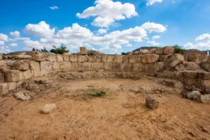
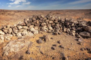
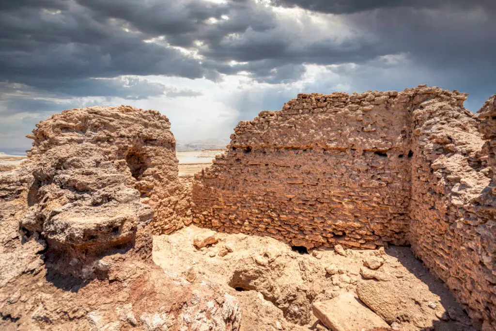
The complex includes a main church, a chapel with a well-preserved mosaic floor and other buildings. There is also a crypt, probably first a hermit’s cell or the founder’s tomb and later used as an ossuary. The walls are of stone and mudbrick, and today they stand as low ruins on the edge of the gullies. Graves lie about 200 m to the east and on the plateau to the west.
Monastery Church
The main church of the community, with a chapel beside it.
Mosaic Chapel
A chapel with a well-preserved mosaic floor, laid in the 7th–8th centuries.
Crypt
Perhaps an early hermit’s cell or the founder’s tomb, later used as an ossuary.
Hermit Cells
Cells cut into the marl valleys up to 3 km from the monastery.
A Desert of Hermits
Deir el-Kattar was the centre of a wider monastic landscape. Hermits lived in cells cut into the small eroded valleys up to 3 km from the monastery, coming together for worship — a pattern known from the deserts of Palestine and Egypt.

Destruction, Rediscovery, and Restoration
Robert Schick photographed the ruins in 1979. From 1995 the Swedish Dead Sea Expedition, led by Richard Holmgren and Anders Kaliff and later joined by Uppsala University, excavated here in several seasons up to 2016. The site is only partly excavated and is threatened by heavy winter rains, illegal digging and earth movements.
Visiting Deir el-Kattar el-Byzanti Today
The site can be reached by 4×4 vehicle, but there are no signs or clear paths, so a local guide is recommended. The marl is soft and crumbly: wear sturdy shoes, bring plenty of water and avoid the heat of summer. Allow about 30 minutes at the site. Our photo album shows the ruins and the marl landscape.
Further reading: Holmgren & Kaliff, ADAJ 56 (2012); Kaliff, Svensson & Holmgren, “The 1995–1996 Excavation of Dayr al-Qattar al-Byzanti”, ADAJ 41 (1997).