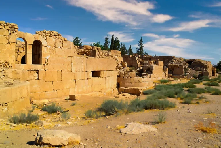
This 360° panorama stands inside the palace of Qasr Al-Qastal, in the village of Al-Qastal about 25 km south of Amman. Long taken for a Roman fort, Qastal is one of the earliest Umayyad settlements in Jordan, probably begun under Caliph Abd al-Malik (685–705). The palace is a square of nearly 68 m a side, with four round corner towers and twelve half-round towers along its walls, and it was still in use when Qasr Al-Mushatta was being built a few kilometres away.
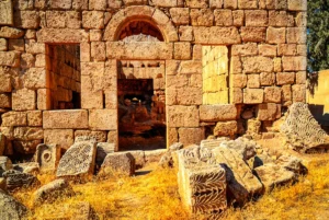
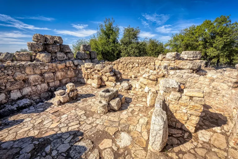
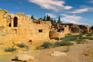
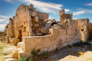
Turn slowly around the room. Walls of large limestone blocks stand close on every side, and one of them curves in a wide arc. Through the window high in the far wall you can see a pair of small arches, and fallen blocks cover the floor. About a third of the palace has been destroyed by modern building, but rooms like this one still show how carefully it was built.
Just to the north are the ruins of the mosque and its round minaret, one of the earliest surviving minarets, and to the southwest lies the only known early Islamic cemetery in Jordan.