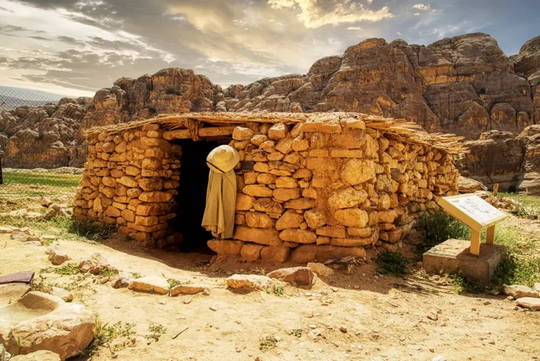
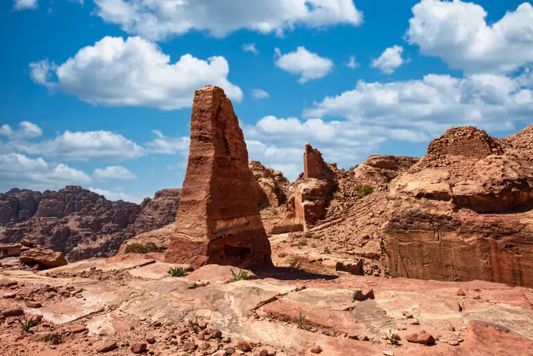
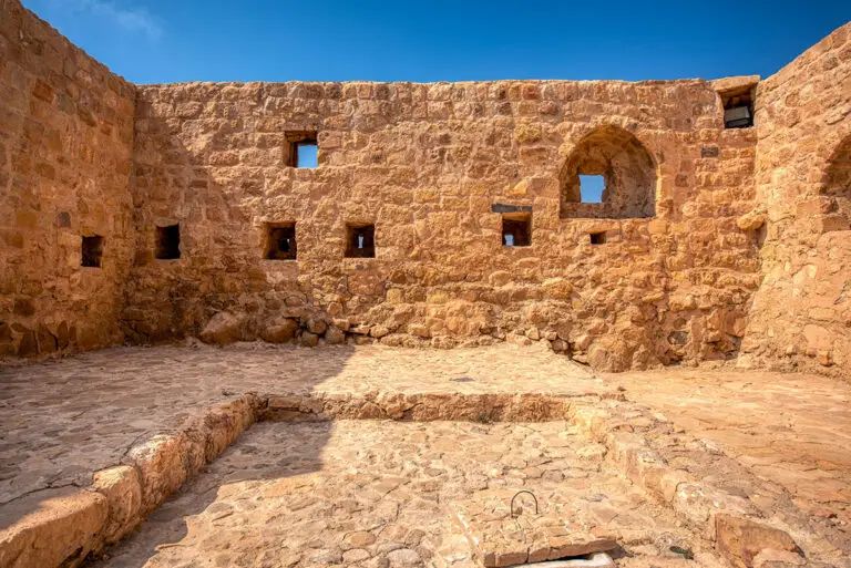
A 360 panorama of Khirbet Edh-Dharih immerses viewers in one of Jordan’s most remarkable yet lesser-known Nabataean archaeological sites. Surrounded by rugged hills and fertile valleys along the ancient King’s Highway, the panorama reveals the impressive remains of a once-thriving settlement centred around a richly decorated Nabataean temple. Weathered stone walls, carved architectural fragments, ancient tombs, and traces of Byzantine and Islamic occupation stretch across the landscape, reflecting centuries of continuous habitation. The soft desert light highlights intricate carvings and the warm earth tones of the ruins, while the peaceful isolation of the site evokes the atmosphere of an ancient pilgrimage and trade centre hidden deep within southern Jordan’s countryside.