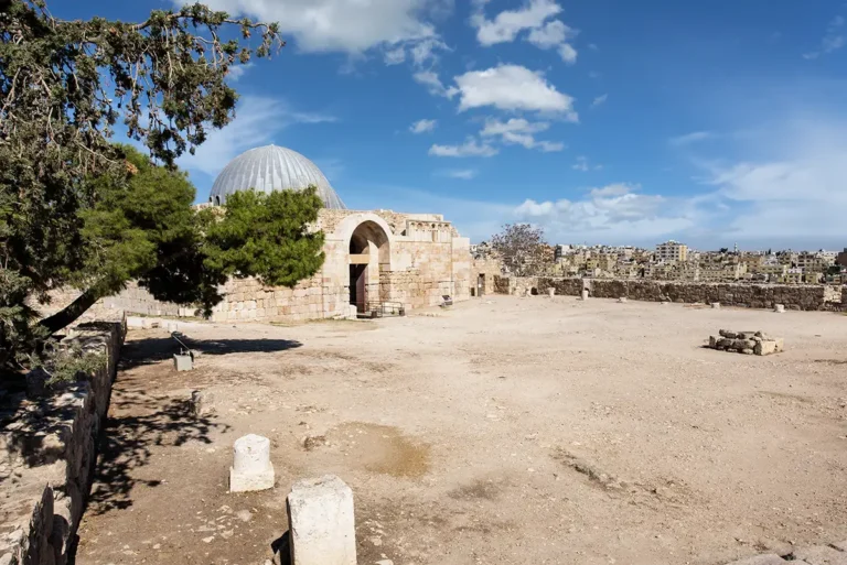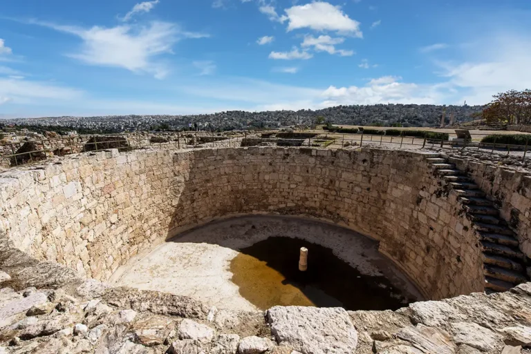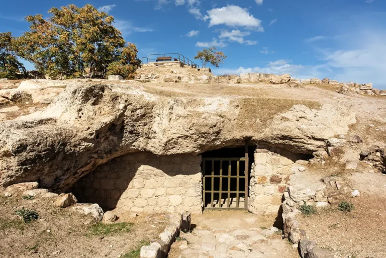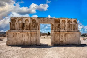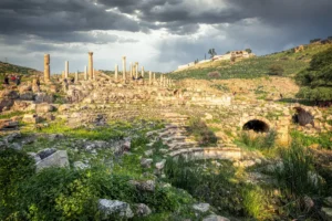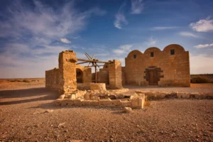
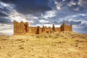
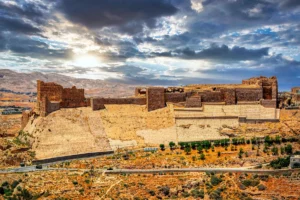

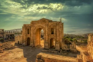
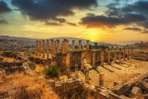
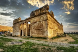
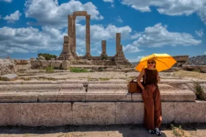


This 360° panorama stands among the excavated remains of the Ammonite Palace, on the Lower Terrace of the Amman Citadel. It dates to the Iron Age, when Amman was Rabbat-Amman, the capital of the kingdom of Ammon. The building is the first stop on our Amman Citadel route.
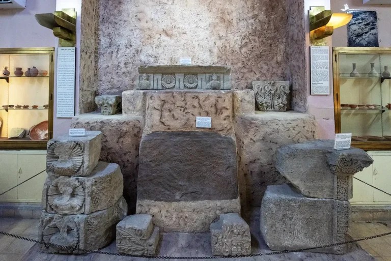
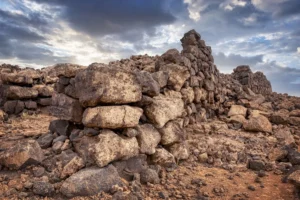
Only part of it has been excavated: a large plastered courtyard framed by massive walls, with plastered rooms and paving to the south. Ivory and glass inlays, a life-size terracotta mask and stone heads with a female face on each side were found here. They point to wealth and far-reaching trade. Excavators are still testing whether this was an elite residence or the palace of the Ammonite kings.
Turn slowly to follow the lines of the walls, then look out over the hills of Amman that surround the terrace.