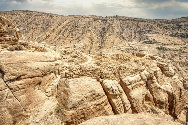


Rising some 200 m above the surrounding valleys, the sandstone rock of Sela was a natural fortress of the Edomites. A single stairway climbs through a cleft to its summit, and high on its cliff a Babylonian king, Nabonidus, carved a relief and inscription to record his conquest of Edom.

Where Is Sela?
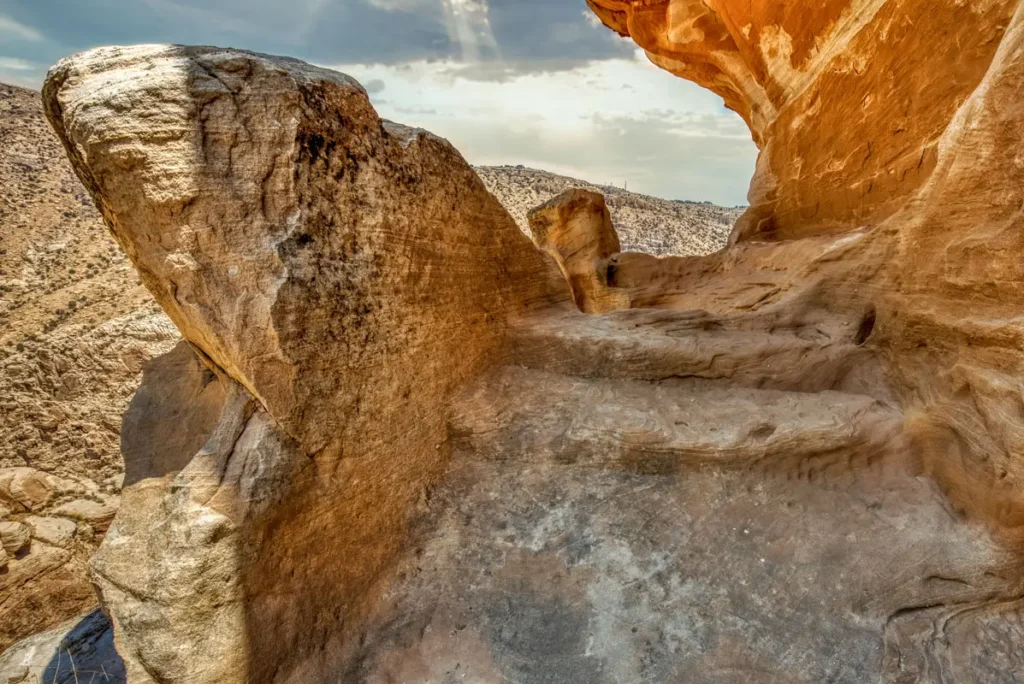
Sela rises beside the village of Al-Sila, about 16 km south of Tafila and about 50 km north of Petra, some 4 km from the King’s Highway and about 5 km north of the Edomite capital, Busayra. The only way up is from the east, by a stairway of about 160 steps through a narrow cleft.
Historical Context and Origin
Sela was occupied mainly in the Iron Age II, the time of the kingdom of Edom. It is often identified with the biblical Sela (“rock”), which King Amaziah of Judah captured in the 8th century BC (2 Kings 14:7), but this is debated; Umm el-Biyara in Petra is the main alternative. In the mid-6th century BC the Babylonian king Nabonidus campaigned against Edom, and the relief at Sela marks his conquest. Nabataeans, Romans and later the Mamluks also left traces on the rock.
Architectural Design
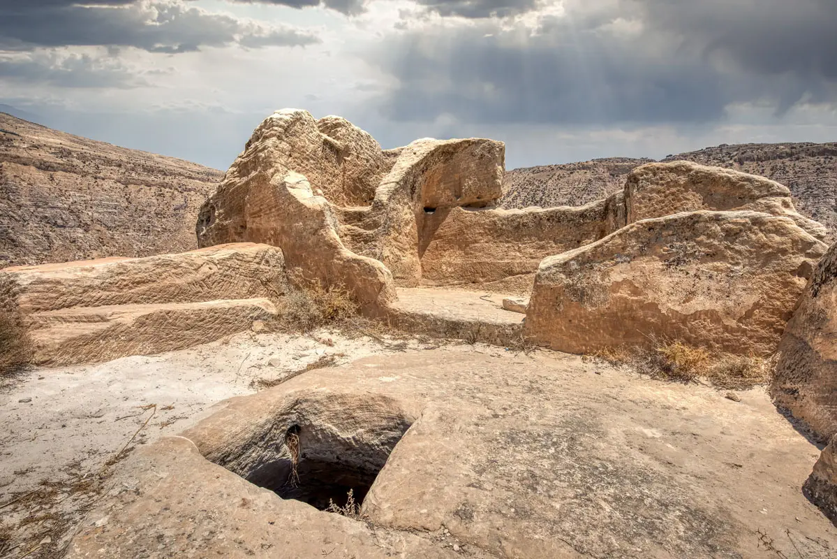
The rock covers about 42 ha. A rock-cut passage, flanked by natural rock towers with guard rooms, forms its only entrance. On the summit are a monumental gate and a large tower later used as a cistern, rock-cut rooms and houses, some with painted plaster, tombs and places of possible worship. More than 100 water structures, cisterns, channels, settling basins and pools, collected every drop of rain.
The Nabonidus Relief
A Babylonian king carved high on the cliff, with a cuneiform text.
Ancient Stairway
About 160 steps climb through a narrow cleft.
Water Systems
More than 100 cisterns, channels and pools.
Rock-cut Rooms
Houses, tombs and rooms cut into the sandstone.
The relief of Nabonidus
A standing king in a long robe and conical cap raises his hand in prayer towards the crescent moon of Sin, the sun disc of Shamash and the star of Ishtar. Beside him, about 30 lines of cuneiform survive of a longer text; only the first line, naming and titling Nabonidus, is fully legible, and fragments refer to his campaigns.
The Nabonidus Relief
About 100 m up the cliff, to the right of the stairway, a niche frames a standing king in a long robe and conical cap, raising his hand in prayer towards the symbols of the moon, the sun and Venus. Beside him are the remains of a cuneiform inscription; only the first of about 30 surviving lines, naming Nabonidus, can be fully read. The relief was found in 1994 by Hamed Qatamine of Mu’tah University and documented in 2018 by a Spanish–Jordanian team using climbers.
Destruction, Rediscovery, and Restoration
Alois Musil and Gustaf Dalman described Sela in the early 1900s, and Nelson Glueck visited in 1937. German researchers led by Manfred Lindner surveyed it from 1969 to 1999, and a Spanish–Jordanian project led by Rocío Da Riva of the University of Barcelona worked there from 2014 to 2018. Parts of the stairway were repaired in the 1990s, and the village of Al-Sila was named a UN Tourism Best Tourism Village in 2023.
Visiting Sela Today
A visitor centre stands in the village of Al-Sila, entry is free, and no 4×4 is needed. The climb is steep in places, so wear good shoes, and look for the relief to the right of the stairway, as most visitors miss it. Allow about two hours. See our Sela travel guide for directions.
Further reading: Biblical Archaeology Society — The Edomite stronghold of Sela; University of Barcelona — Sela (as-Sila’) project.