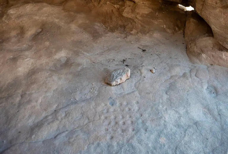
This panorama draws your attention to a small but intriguing feature of Jordan’s sandstone landscape: shallow hollows cut into an exposed rock surface and identified here as a mancala-style game board. Look down to follow the arrangement of depressions, whose dark interiors stand out against the warm, sunlit stone. Several contain small pebbles, making the relationship between the hollows and potential playing pieces easy to recognise. Around them, the sandstone’s grain, uneven contours and weathered patches provide a textured backdrop. The scene rewards close inspection, bringing a modest detail into focus within a landscape more often associated with monumental façades and temples.
Mancala is a family of games in which players distribute counters between rows of pits, using pieces such as stones or seeds. Viewed with that activity in mind, these rock-cut hollows invite you to consider recreation alongside the buildings and infrastructure of Nabataean sites. Their appearance alone cannot establish precisely when they were carved or which rules their users followed. Zoom in to compare the shapes and spacing of the depressions, then explore the surrounding panorama to understand their setting. This simple arrangement offers a starting point for thinking about play, shared spaces and everyday encounters in an archaeological landscape.