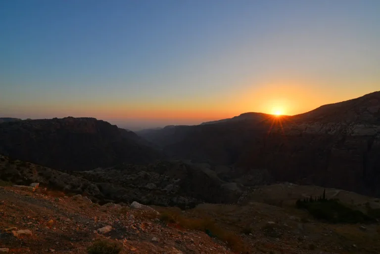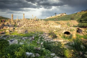
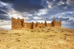
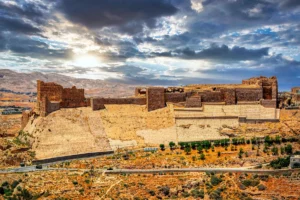
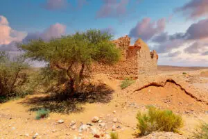
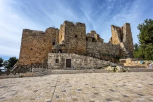


On a high spur above the King’s Highway, south of Tafila, lie the ruins of Busayra — biblical Bozrah, the leading city of the Edomites. Here, in the 7th and 6th centuries BC, local rulers built a palace and a great courtyard complex on the model of the Assyrian empire to which they paid tribute.

Where Is Busayra?
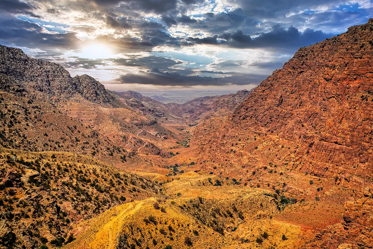
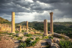
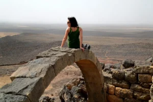
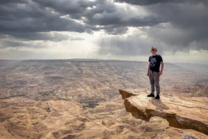
Busayra lies on the King’s Highway about 20 km south of Tafila. The ancient town occupied a defensible promontory about 1.5 km long, protected by wadis on three sides, running north-west from the modern village. It overlooks fertile farmland and lies within reach of the copper mines of Faynan and the trade routes crossing Wadi Arabah.
Historical Context and Origin
Busayra was settled from the late 8th or 7th century BC — scholars debate the exact start — and it became the largest site in Edom. Its rulers were treated by the Assyrians as kings; the archaeologist Piotr Bienkowski describes Busayra as the centre of a supra-tribal authority rather than a capital in the modern sense. The Bible names Bozrah as the chief city of Edom, in Isaiah (34:6, 63:1), Jeremiah (49:13, 49:22) and Amos (1:12).
Architectural Design
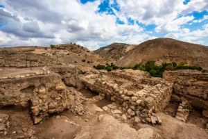
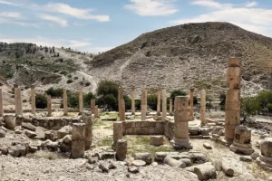
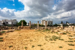
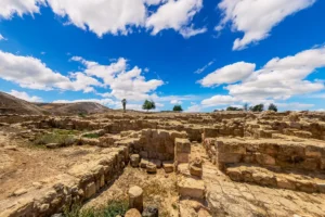
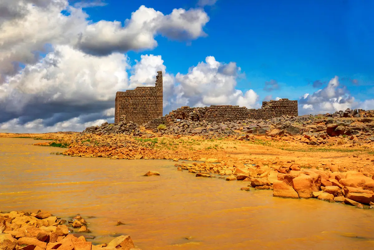
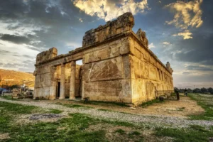
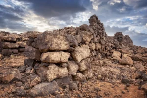
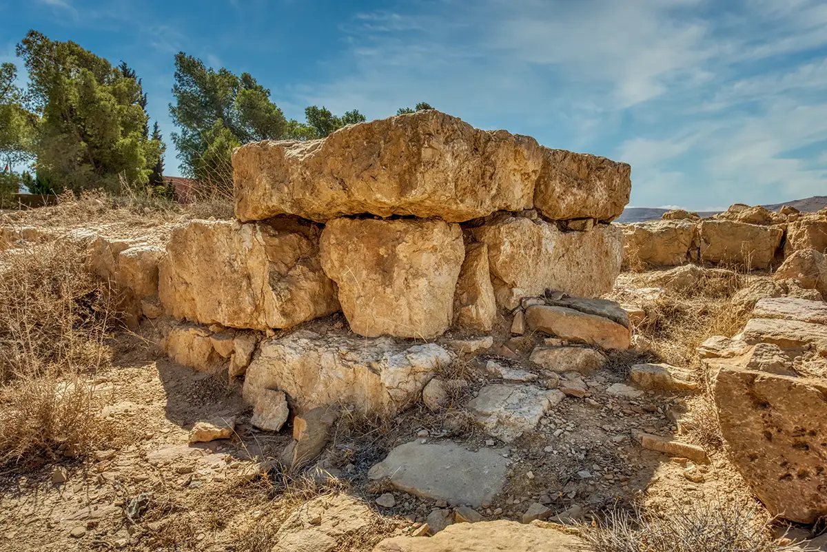
A perimeter wall enclosed two raised monumental complexes. Area C, of at least 624 m², was a palace or administrative building with a plastered courtyard and a possible throne niche. Area A, of about 2,907 m², is often interpreted as a temple, though the final report calls that identification tentative. Both follow Neo-Assyrian plans, with open courtyards surrounded by small rooms. A geophysical survey has since revealed houses outside the excavated areas.
Edom’s Largest Site
The chief centre of the Edomites, named Bozrah in the Bible.
Assyrian-Style Palace
Area C: courtyard building with a plastered court and a possible throne niche.
Probable Temple
Area A: a great courtyard complex of almost 3,000 m², perhaps a temple.
“Blessed Be Qos”
A vessel inscribed with a blessing to Qos, the god of Edom.
Edom and Its God Qos
Finds from Busayra include seals and seal impressions, ostraca and graffiti. A vessel of the 7th or 6th century BC bears the inscription “[b]rk / qws” — “may Qos be blessed” — naming the national god of the Edomites.

Destruction, Rediscovery, and Restoration
Both monumental buildings were partly destroyed in the mid-6th century BC, most likely by the Babylonian king Nabonidus, around 553–551 BC. They were rebuilt and used into the Persian period, until their final destruction in the late 4th century BC. In Nabataean and Roman times the site was reused, possibly for farming, but no later city grew here. Crystal-M. Bennett excavated Busayra in 1971–1974 and 1980, and Piotr Bienkowski published the final report in 2002. From 2013 to 2015 Benjamin Porter’s Busayra Cultural Heritage Project carried out new fieldwork, and the USAID SCHEP project with the Department of Antiquities cleaned and protected the site and improved its presentation.
Visiting Busayra Today
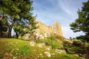
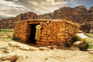
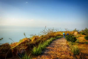
Bilingual signs and a marked path lead around the site: about 230 m to the temple and some 700 m for the full loop past the palace, the gate and the fortifications. Allow about an hour, and check current opening arrangements locally. Read more in our article Exploring the Secrets of Busayra, and combine the visit with Sela nearby.
Further reading: Bienkowski, Busayra: Excavations by Crystal-M. Bennett 1971–1980 (open access); Porter, Busayra Cultural Heritage Project.