3DVirtual walk-through
MoveClick a circle on the ground to walk thereTap a circle on the ground to walk there
Look aroundClick and drag in any directionSwipe in any direction
ZoomScroll to zoom in and outPinch to zoom in and out
FullscreenUse the fullscreen icon in the viewer, or the buttonTap the button, then turn your phone sideways

Sela – 3D Virtual Walk-through

Share

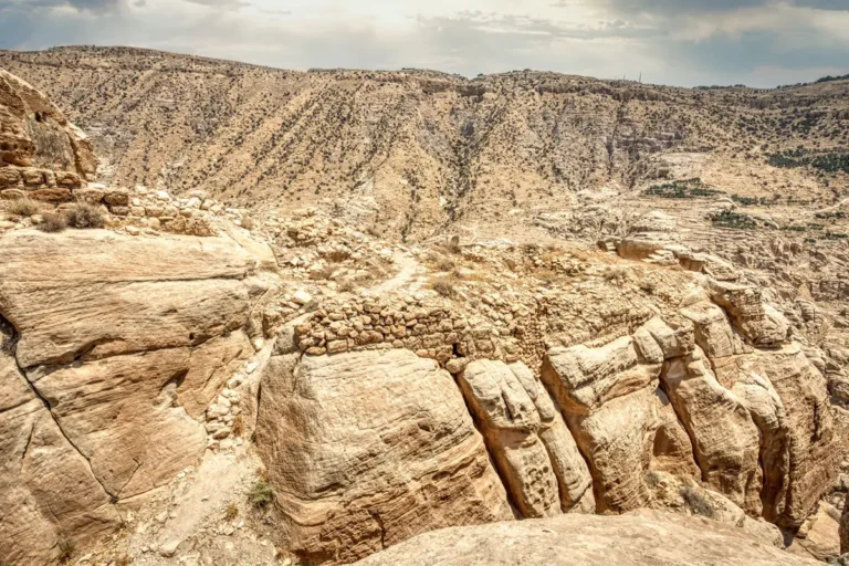
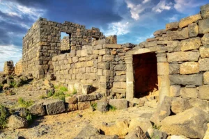
Step into a 3D virtual walk-through of Sela and explore an ancient stronghold set among the sandstone cliffs of the Tafileh region. Move between panoramic viewpoints to follow the relationship between surviving structures, exposed bedrock and the steep terrain surrounding the site. Look closely at weathered walls and worked stone surfaces, then widen your view to appreciate the ravines and ridgelines below. The experience brings Sela’s elevated position into focus, helping you understand how the landscape offered natural protection while shaping the spaces available for settlement and construction.

Continue through the virtual route to examine how individual remains fit into the broader rocky setting. Low stretches of masonry and traces of occupation invite careful observation, while open viewpoints reveal the scale of the surrounding valleys. These features provide a starting point for exploring Sela’s long history, although the appearance of a wall or carved surface alone cannot establish its date. Whether preparing for a visit or exploring remotely, the walk-through encourages you to compare details at your own pace and build a clearer picture of the site. Together, the architectural remains and panoramic views show how closely life at Sela was tied to its distinctive terrain.

In this walk-through

Stops included · 17

Jump to any stop from the strip at the bottom of the viewer.
  1. Entrance – Zone D
  2. Gate and east side – Zone F
  3. Rock-cut houses – Zone F, including inside House 2
  4. Main watchtower – Zone F
  5. Dushara Sanctuary Complex – Zone H
  6. Water cistern – Zone H
  7. House with an “escalator” – Zone H
  8. “Stairs to nowhere” – Zone H
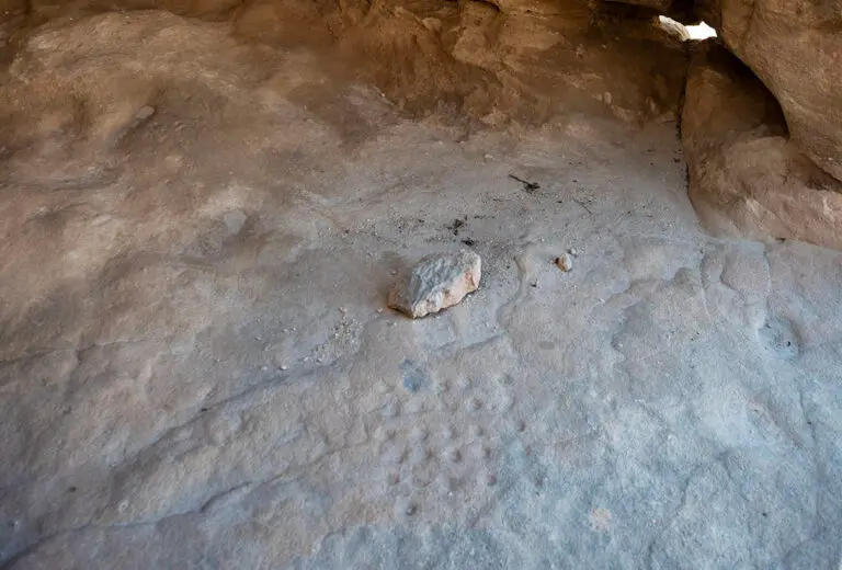
  9. House with a mancala game – Zone H, inside and out, with neighbouring houses
  10. Altar of Dushara – Zone H
  11. Petroglyph – Zone H
  12. “Cave of a Man with Three Wives” – Zone K
  13. Southwest Complex and Watchtower – Zone L
  14. High Place of Sacrifice – Zone K, with a water cistern
  15. Northwest Settlement and House of “Salama” – Zone E
  16. “The Bar” – Zone E
  17. Monastery – Zone E

About this walk-through

Site

Sela, As Sala

Region

Karak & King’s Highway

Coordinates

30.7820° N, 35.5749° E

Want to see it in person?
Visit Sela with a private guide
Tell us your dates — we’ll plan a day trip around it.
Plan a visit with us →
Popular:
Themes
Periods
Browse by type