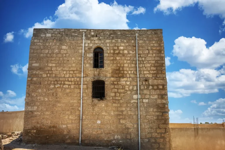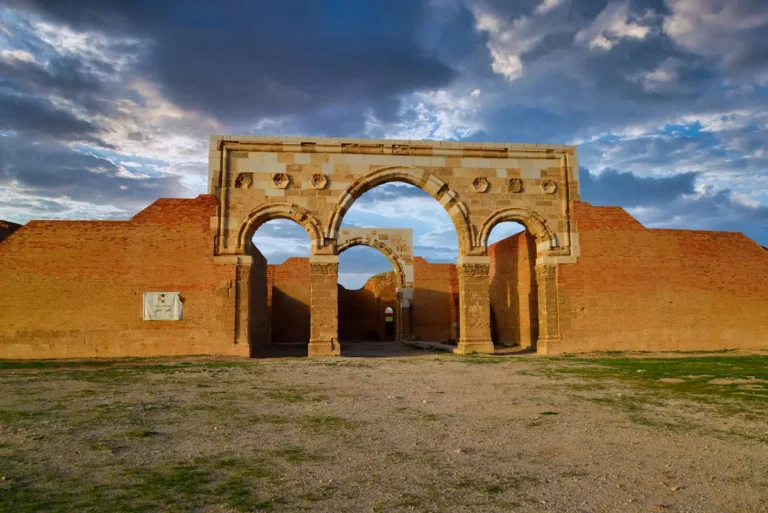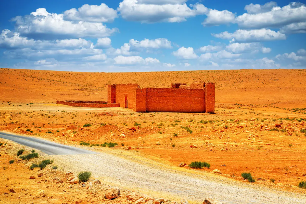


On the open plain south of Amman, a square fort with four corner towers marks a halt on the old pilgrim road from Damascus to Mecca. Qal’at Dab’a guarded a reservoir where the Hajj caravan drew water, and a century and a half later the Hejaz Railway was built beside it.
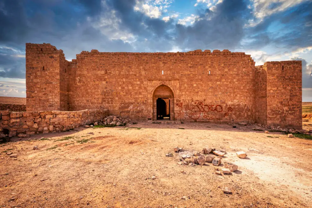
Where Is Qal’at Dab’a?
The fort lies about 56 km south of Amman. From the Desert Highway, a side road runs about 6.5 km east, the last stretch in poor condition. The Dab’a station of the Hejaz Railway stands about 1 km east of the fort, roughly halfway between Amman and Qal’at Qatrana.
Historical Context and Origin
A halt called Balqa’ already appears on the Ottoman Hajj itineraries of the 16th century, and the reservoir may date from that time. The fort that stands today is an 18th-century building. A recorded Arabic inscription commemorates restoration by ʿUthman Pasha in AH 1180 (AD 1766–67). He was governor of Damascus from 1760 to 1771 and led the pilgrim caravan for about ten years. The inscription’s original position is unknown, perhaps the mosque room, and it has since been lost. The name Dab’a means “hyenas”.
Architectural Design
The fort is about 25 m square, with rooms on two floors around a central courtyard and a projecting tower at each corner. Corner towers like these were added to the Hajj forts of the 18th century, when the Bedouin tribes had acquired firearms; they let the small garrison, often 20 men or fewer, cover the walls with musket fire. The forts were placed within musket range of their reservoirs.
Corner Towers
Four projecting towers, typical of the 18th-century Hajj forts.
Two Storeys
Rooms on two floors around a central courtyard.
The Reservoir
A large reservoir beside the fort, possibly older than the fort itself.
The Railway
A Hejaz Railway station and its cemetery lie nearby.
Water and the Railway
Beside the fort lie a large reservoir, now roofed, and further cisterns near the wadis, which collected winter rain for the caravans. In the early 20th century the Hejaz Railway was built past Dab’a. Its station was a small desert halt, and a large cemetery beside it holds the graves of railway workers who died in epidemics.

Destruction, Rediscovery, and Restoration
Brünnow and Domaszewski recorded the fort in 1898, and Henry Field visited it in 1928. Andrew Petersen surveyed it in the 1980s for his study of the Hajj forts. The stair, destroyed after 1986, was rebuilt in 2004, but the fort has seen little other conservation, and parts of it are at risk of collapse.
Visiting Qal’at Dab’a Today
The fort is open at any time and free, with no facilities. Allow about 30 minutes, and combine it with the railway station nearby. See our Qal’at Dab’a travel guide for directions.
Further reading: Petersen, The Medieval and Ottoman Hajj Route in Jordan (2012); Tütüncü & Petersen — Ottoman inscriptions of the Hajj forts (2017); AramcoWorld — Guardians of the Pilgrim Wells (2004).