

Sela
An Edomite rock fortress near Tafila, reached by an ancient stairway, with a Babylonian king carved on its cliff
Main periodIron Age II
StairwayAbout 160 steps
Location16 km S of Tafila
AccessFree · visitor centre
Introduction
A natural fortress of the Edomites, with a single stairway to its summit.
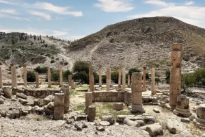
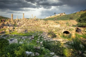
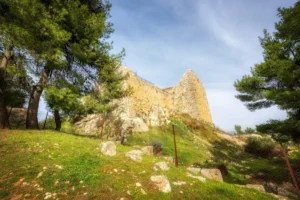
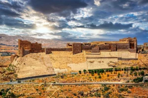
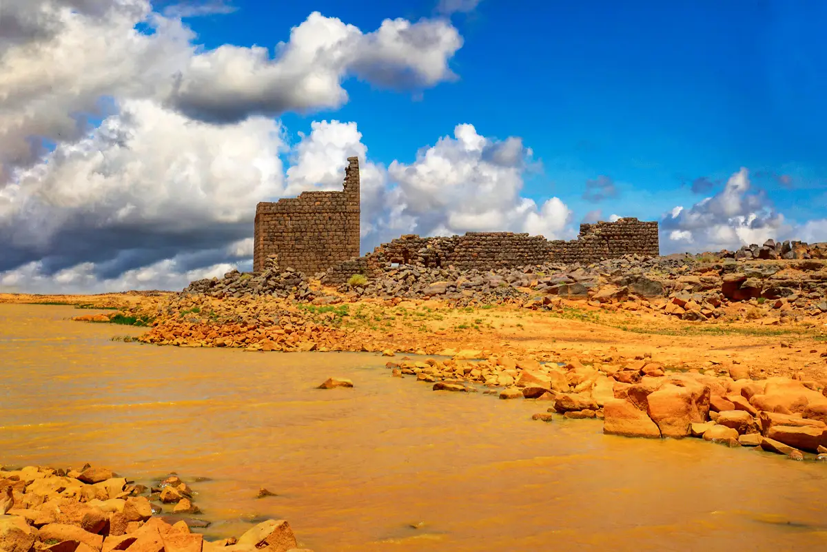
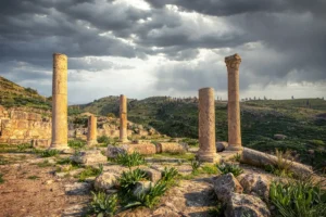
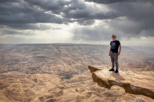
Rising some 200 m above the surrounding valleys, the sandstone rock of Sela was a natural fortress of the Edomites. It rises beside the village of Al-Sila, about 16 km south of Tafila and about 50 km north of Petra. The only way up is from the east, by a stairway of about 160 steps through a narrow cleft.
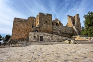
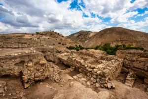
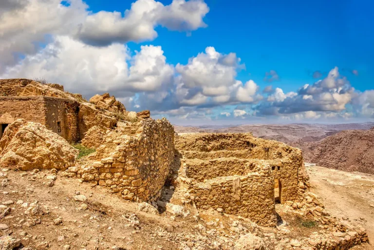
On the summit are a monumental gate, a tower, rock-cut rooms and houses, and more than 100 cisterns and channels. About 100 m up the cliff, to the right of the stairway, the Babylonian king Nabonidus carved a relief in the mid-6th century BC; most visitors miss it. A visitor centre stands in the village, entry is free, and no 4x4 is needed.
Best timeMar–May · Oct–Nov
Time needed2 hr
TicketFree
From Amman190 km · 2 hr 30 min
Combine withDana Biosphere Reserve · 30 min
Google rating4.6 · Reviews
Highlights · A rock fortress
A stairway, a gate and a Babylonian king
Five things to look for at Sela
Sela is a climb. These are the places that make it worth it.
 01 / 05
01 · Defence
The gate and tower
Gate and tower
A rock-cut passage flanked by natural rock towers forms the only entrance to the summit.
Look closely
The guard rooms beside the passage.
1 of 5
Part by part
What to see
Five parts of the visit on the summit: the gate and tower, the rock-cut rooms, the niches, the water system and the walls. Pick one to see what to look for.
1 / 801 · The only way in
Climb to the gate
From the east, a stairway of about 160 steps climbs through a narrow cleft. A rock-cut passage, flanked by natural rock towers with guard rooms, forms the only entrance.
On the summit stand a monumental gate and a large tower later used as a cistern. The climb is steep in places, so wear good shoes.
About 160 stepsRock towersGreat tower
Look for
- The rock-cut steps
- The Nabonidus relief, to the right of the stairway
- The guard rooms beside the passage
- The great tower
Dig deeperThe relief of Nabonidus
About 100 m up the cliff, to the right of the stairway, a niche frames a standing king in a long robe and conical cap, raising his hand towards the symbols of the moon, the sun and Venus. Beside him are the remains of a cuneiform inscription naming Nabonidus. It was found in 1994 by Hamed Qatamine of Mu’tah University.
 1 / 8
02 · Houses and tombs
Explore the rooms
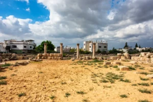
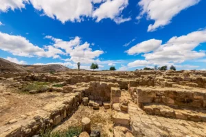
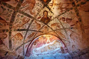
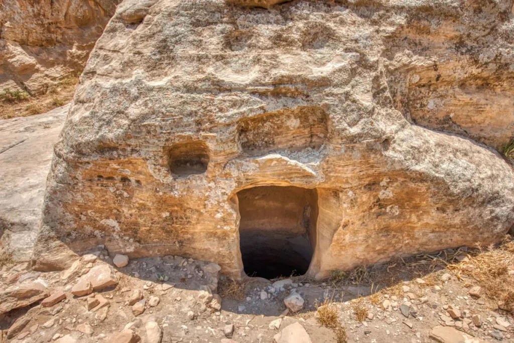
The rock covers about 42 ha. On the summit are rock-cut rooms and houses, some with painted plaster, and tombs.
Nabataeans, Romans and later the Mamluks also left traces on the rock.
About 42 haPainted plasterTombs
Look for
- Doorways cut into the rock
- Traces of plaster
- Carved basins in the rock
Dig deeperBiblical Sela?
Sela is often identified with the biblical Sela (“rock”), which King Amaziah of Judah captured in the 8th century BC (2 Kings 14:7), but this is debated; Umm el-Biyara in Petra is the main alternative.
 1 / 4
03 · Places of worship?
Find the altar and niches
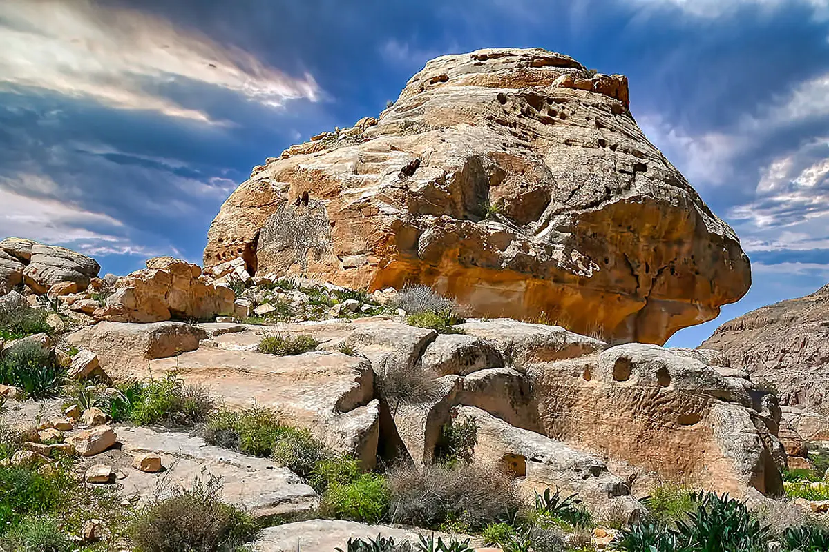
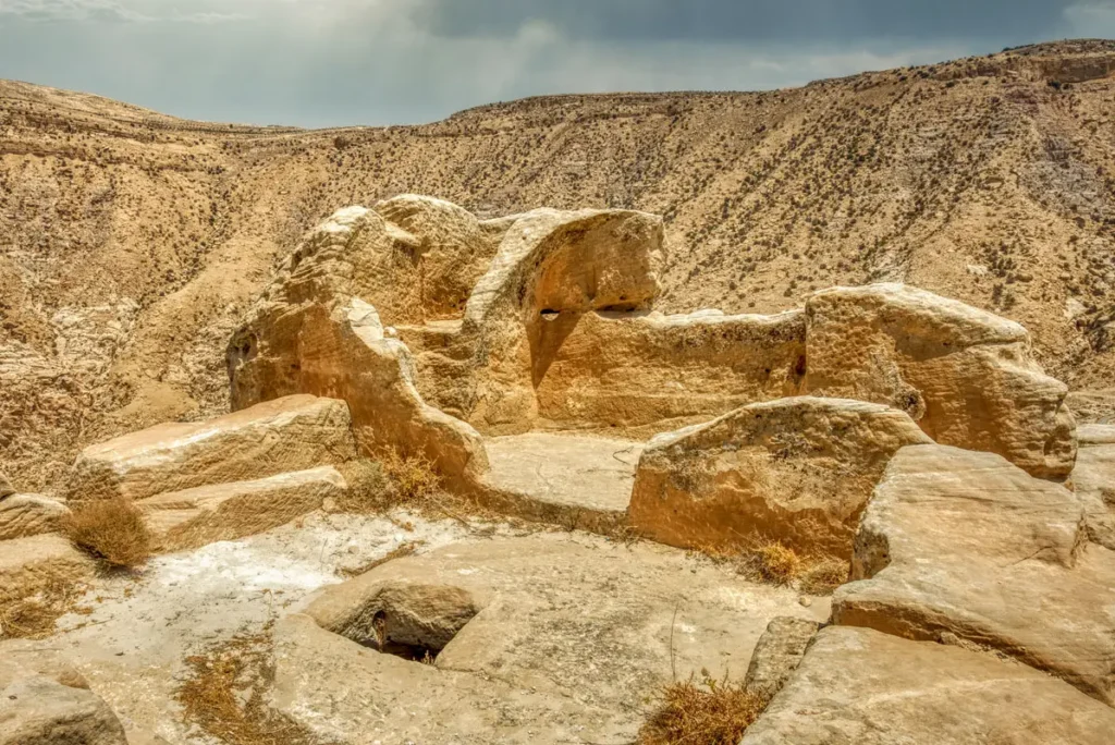
Several rock-cut niches and chambers on the summit may have been places of worship. One of them is known as the Altar of Dushara, after the chief god of the Nabataeans.
The purpose of the other niches is not certain, so look at them as part of the life of the rock fortress over many centuries.
Rock-cut nichesPossible shrines
Look for
- The Altar of Dushara
- The carved frames of the niches
- Blackened ceilings in the chambers
 1 / 4
04 · Catching the rain
Follow the water
More than 100 water structures, cisterns, channels, settling basins and pools, collected every drop of rain on the rock.
Take care near the cistern openings: they are unfenced.
100+ structuresCisternsChannels
Look for
- The cistern openings
- Channels cut into the rock
- Settling basins
 1 / 5
05 · The summit
Walk the summit
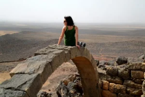
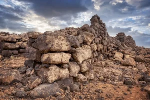
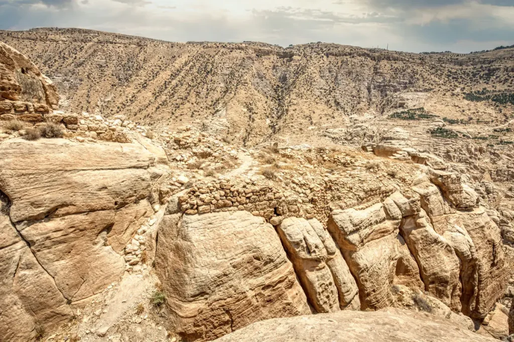
Walls follow the edge of the summit, and the rock drops some 200 m to the valleys around it.
The Edomite capital, Busayra, lies about 5 km to the south.
About 200 m highViews
Look for
- Walls along the edge
- The valleys below
- The village of Al-Sila
History & significance
A fortress of Edom
Sela was occupied mainly in the Iron Age II, the time of the kingdom of Edom. In the mid-6th century BC the Babylonian king Nabonidus campaigned against Edom and left his relief on the rock. Later the rock was also a Nabataean settlement.
- Iron Age IIAn Edomite rock fortress
- c. 553–552 BCThe relief of Nabonidus
- AD 1937Nelson Glueck visits Sela
- AD 1994The relief is found by Hamed Qatamine
- AD 2014–2018Spanish–Jordanian project at Sela
- AD 2023Al-Sila named a UN Tourism Best Tourism Village
 ProfileSela: the full storyThe history, the relief of Nabonidus and the water system of Sela.Read the profile →
Plan your visit
Everything you need to know before you go
Sela rises beside the village of Al-Sila, about 16 km south of Tafila, some 4 km from the King’s Highway and about 50 km north of Petra. A visitor centre stands in the village, and no 4x4 is needed.
Good to know: the climb is steep in places, with uneven rock-cut steps and unfenced drops and cisterns.
Opening hoursOpen accessVisitor centre in Al-Sila · visit in daylight
Entry ticketFreeNo ticket needed
Time to visit2 hrAbout 2 hours with the climb
From Amman190 kmAbout 2 hours 30 min by road
LocationAl-Sila30.7819° N, 35.5749° EGet directions
Opening hours and prices checked October 2026. Spotted a change? Let us know
On site
What you’ll find at Sela
- Visitor centre
- Toilets
- Free parking
- Food & drinks
- Market / shop
- Viewpoint
Not on site: ticket office, museum, guide · Nearby: hotels
Access: no 4x4 needed
When to go
Spring and autumn are best. Climb in the morning, before the heat.
J
F
M
A
M
J
J
A
S
O
N
D
BestGood, cooler or warmVery hot
Tip: look for the Nabonidus relief to the right of the stairway: most visitors miss it.
Before you go
The visitor centre and the heritage village of Al-Sila are at the foot of the rock.
- Good shoesSteep rock-cut steps
- WaterNo shade on the summit
- Sun hat and sunscreenEspecially from May to September
Common questions
Quick answers before you set off.
Is there an entrance fee?
No. Entry is free, and a visitor centre stands in the village of Al-Sila.
Do I need a 4x4?
No. The village is about 4 km from the King’s Highway on a paved road.
Where is the Nabonidus relief?
About 100 m up the eastern cliff, to the right of the stairway. Look up as you climb.
How long do I need?
About two hours for the climb and the summit.
Combine with
Sela lies between Tafila and Petra, near Dana. Drive times are from Sela.
Explore this site
More from Sela
Panoramas, walk-throughs, photos and stories about this site.
ProfileSela: history & architecture Photo albumSela: An Edomite Rock Fortress in Photos
 3D3D walk-throughSela – 3D Virtual Walk-through
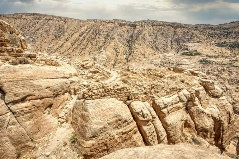 360°360° panoramaAncient Sela: 360° Panorama
 Travel articleTafileh-Sila’a Heritage Village Hotel: Hospitality That Feels Like Family
 Travel articleDiscover As Sala Heritage Village in Jordan – History, Culture & Scenic Beauty
Nearby
Also around Tafila
From guide to visit
Explore the Nabataean sites with a private guide
Tell us when you’d like to go, and we’ll plan a private day along the King’s Highway that includes Sela.