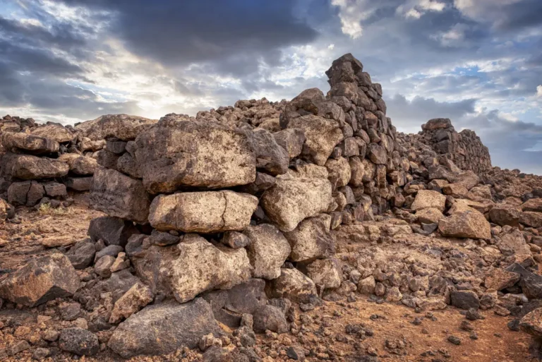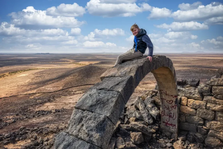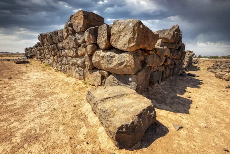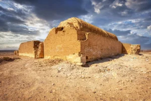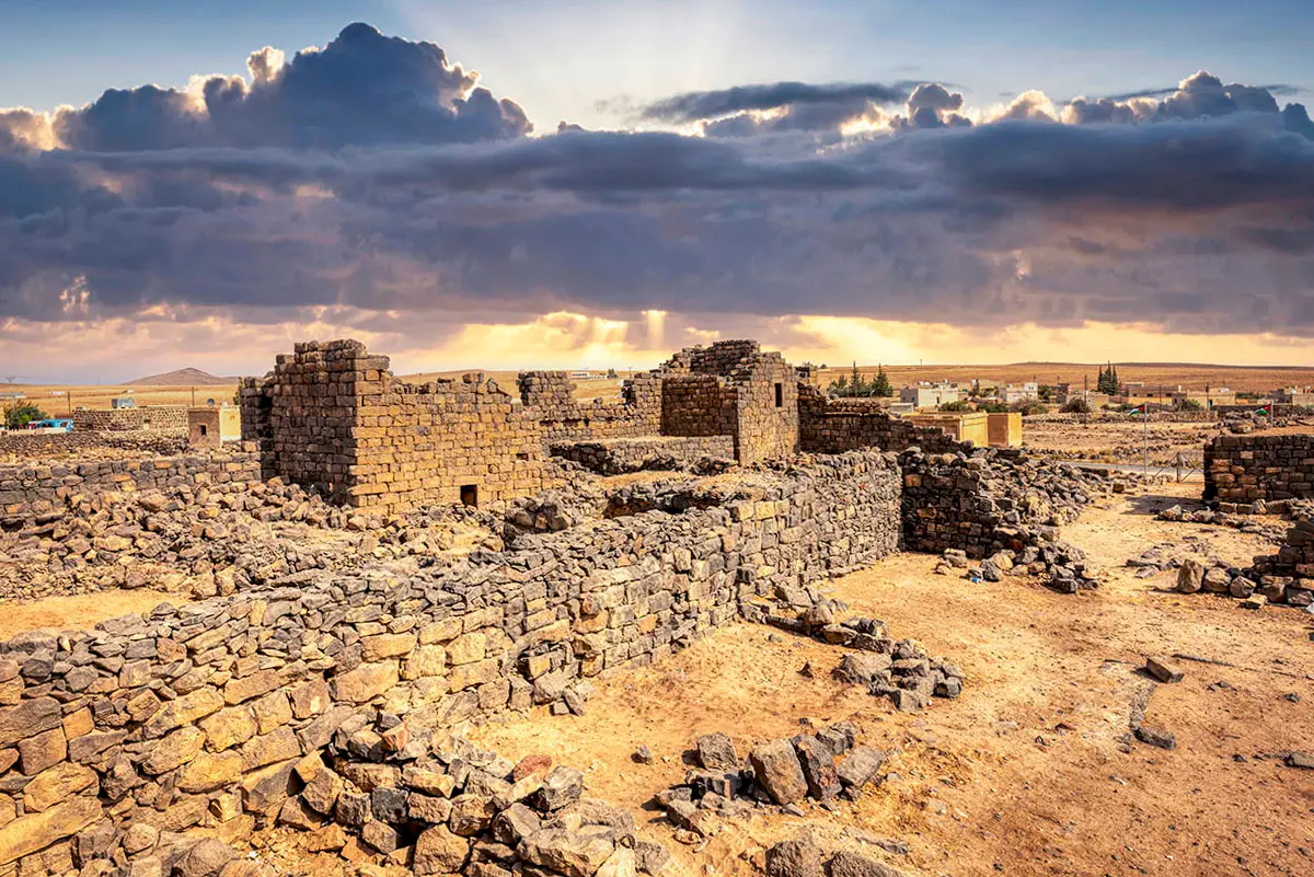

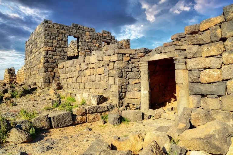

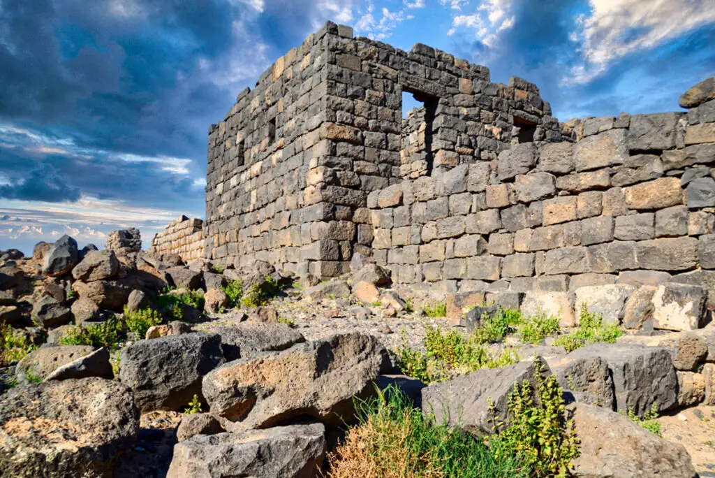
In the basalt country of north-eastern Jordan, close to the Syrian border, the walls of Deir al-Kahf still rise up to 7.5 m. It was one of the larger Roman forts of the desert frontier, later home to monks; its name means “Monastery of the Cave”.
Where Is Qasr Deir Al-Kahf?
The fort stands in the village of Deir al-Kahf in Mafraq Governorate, about 3 km from the Syrian border, about 45 km north of Azraq and 45 km south-east of Bostra in Syria. From Highway 10 (Mafraq–Safawi), turn north at Salihiyyah; the fort is behind the village police station.
Historical Context and Origin
The fort lies beside the Roman road built under Septimius Severus in AD 208–210 from Azraq to Bostra, the legionary base of the province of Arabia. The first fort, of about AD 200, was small, about 28 m square. A Latin inscription, now lost, dated its enlargement to AD 306, under the Tetrarchy, and further inscriptions record building in 348/9 and under the commander Flavius Maximinus in 367–375. Deir al-Kahf may be the post of Speluncae (“the caves”) in the Roman army list, the Notitia Dignitatum, but this is not proven.
Architectural Design
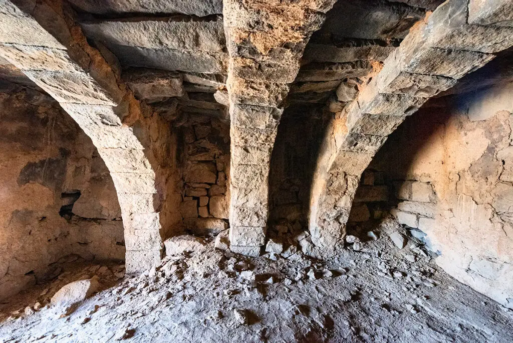
The enlarged fort is almost square, about 60 × 60 m, with walls about 1.5 m thick. Its square corner towers rose three storeys, and there were intermediate towers on the north and west sides. The main gate is in the middle of the east side. Two-storey rooms lined the courtyard, enough for an estimated 400–500 soldiers. A rock-cut cistern in the courtyard is roofed with basalt slabs on corbels, the typical technique of the Hauran.
Tetrarchic Fort
A 60 m square fort of AD 306 with three-storey corner towers.
Severan Core
A small fort of about AD 200 lies inside the later walls.
Corbelled Roof
Basalt slabs on corbels roof the courtyard cistern.
A Monastery
In the 6th century a chapel was built in the courtyard.
From Fort to Monastery
After the army left, the fort became a monastery, especially in the 6th century, with a single-aisled chapel in the courtyard, the same pattern seen at Qasr Al-Hallabat and Qasr Bshir. In the Umayyad period the site was reused again, possibly as a farm, and lime kilns were cut into the chapel. Outside the walls lie a cistern built, according to a lost Greek inscription, by the camp prefect Agrippa, an oval reservoir and a dam.
Destruction, Rediscovery, and Restoration
Howard Crosby Butler’s Princeton expedition made the first plan in 1904 and copied the inscriptions, all lost by 1950. Antoine Poidebard and Aurel Stein photographed the fort from the air in the 1930s. David Kennedy studied it from 1978, and a Spanish mission led by Ignacio Arce identified the Severan fort and excavated the chapel. The village grew around the fort, its stones were robbed, and in the 20th century a new entrance was cut through the west wall, today’s way in. No restoration has been carried out.
Visiting Qasr Deir Al-Kahf Today
Entry is free and there are no facilities. Allow about 30 minutes. See our Qasr Deir Al-Kahf travel guide for directions.
Further reading: Arce — Qasr Hallabat, Qasr Bshir and Deir el Kahf (2010); Athena Review — Deir el-Kahf plan.