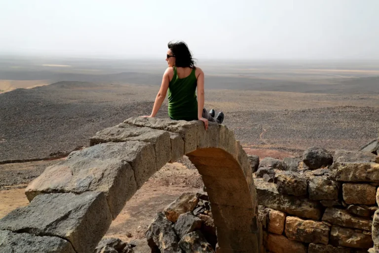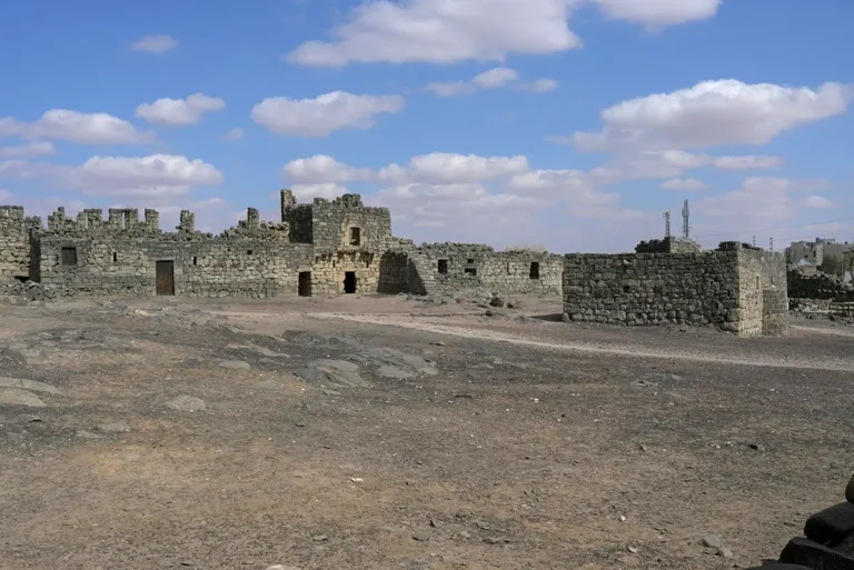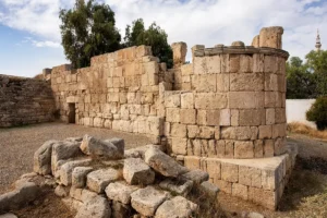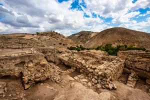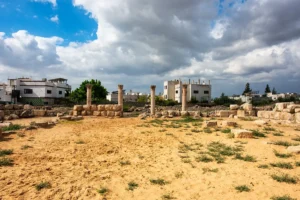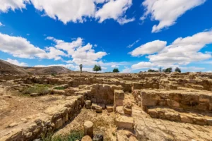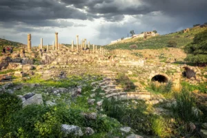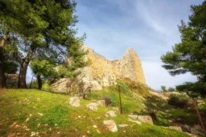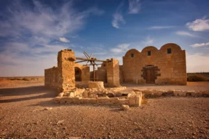
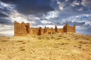
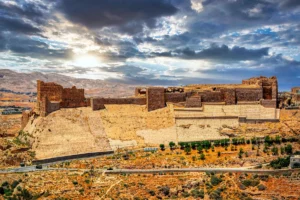
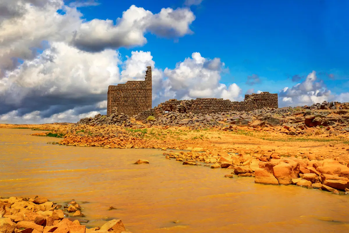
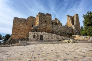
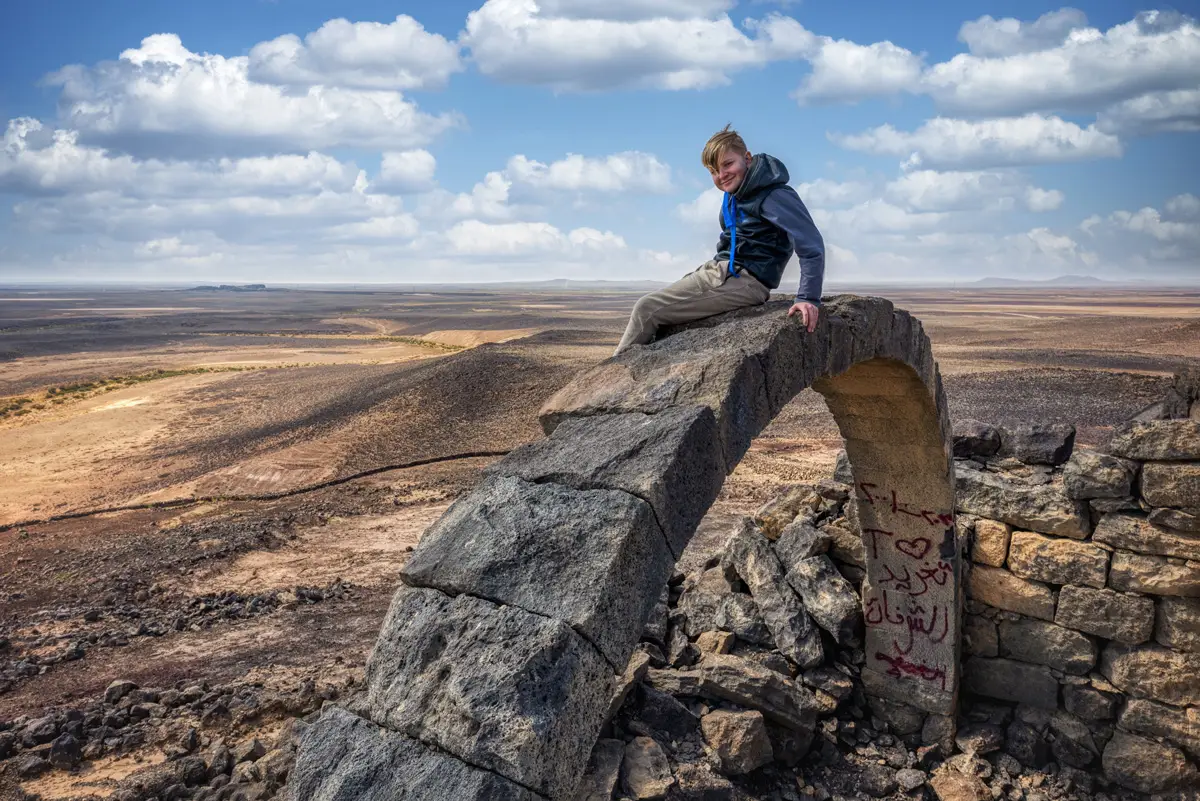


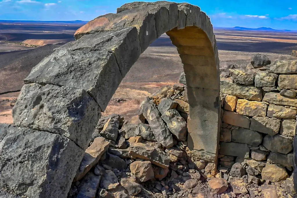
Qasr Usaykhim crowns a volcanic hill north-east of Azraq. The climb leads to a small Roman fort of black basalt, its rooms collapsed around a courtyard and basalt arches still standing against the sky, with views across the lava fields in every direction.
Where Is Qasr Usaykhim?
The fort stands on Tell Usaykhim, a volcanic cone about 14 km north-east of Qasr Azraq. The access road leaves the Azraq–Safawi road about 10 km before Safawi; the paved road ends about 300 m short of the hill, and the last stretch is on foot.
Historical Context and Origin
Usaykhim was an outpost of the Roman frontier, one of two small forts that guarded the Azraq oasis with Uweinid to the south-west. David Kennedy dated it to the 3rd and/or early 4th century AD. Pottery collected on the surface shows use from the 1st to the early 4th century and again in the 6th–7th century, and Kennedy suggested that a Nabataean farmstead may have preceded the fort.
Architectural Design
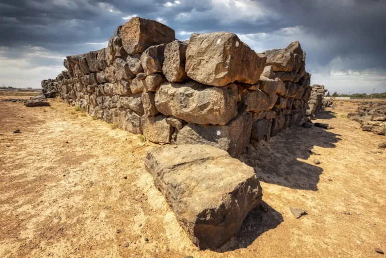
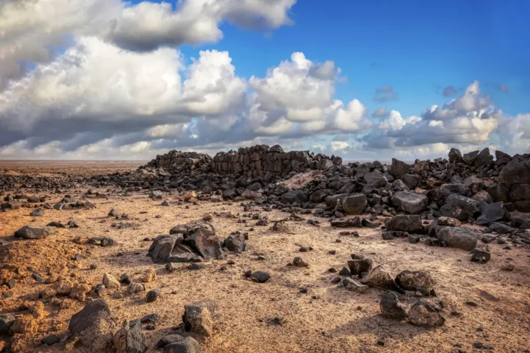
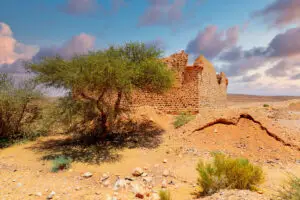
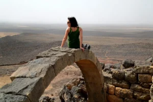
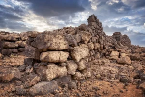
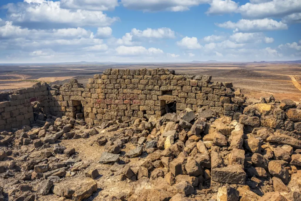
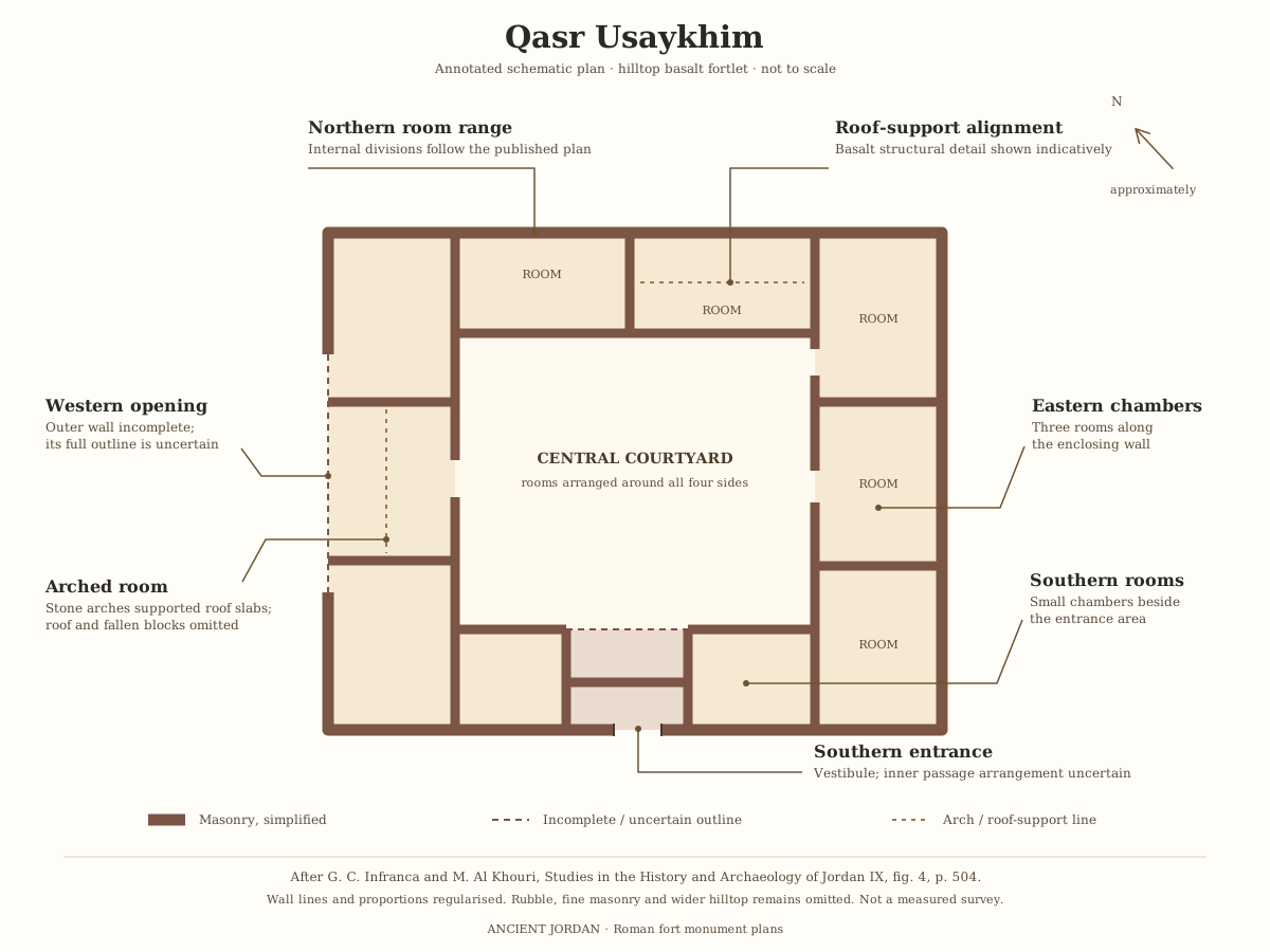
The fort is about 23 × 23 m, built of basalt with walls about 1 m thick: two faces of dressed blocks with a rubble core. Rooms surround a central courtyard, with several surviving basalt arches that once supported their stone roofs. A thick, low wall of basalt boulders rings the hilltop.
Hilltop Fort
A 23 × 23 m fort on the summit of a volcanic cone.
The Arch
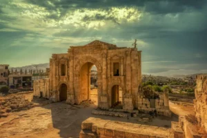
Surviving basalt arches once supported the stone roofs of the rooms.
Basalt Masonry
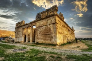
Walls about 1 m thick of dressed basalt with a rubble core.
360° Views
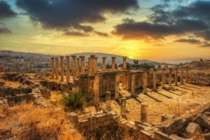
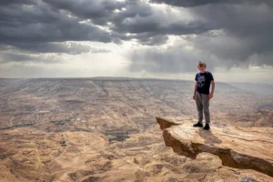
Views over the lava fields towards Azraq.
Safaitic inscription KhoIAS 1
At least one Safaitic inscription is documented in connection with the Qasr Usaykhim archaeological site. The specialist database OCIANA records it as KhoIAS 1, citing Al-Khouri and Infranca’s 2005 excavation report. Its entry does not specify whether it was on the fort itself or elsewhere in the surrounding site. OCIANA record
l {ẓ}ʿn{l} bn ʾ{q}---- h- ʾtn
By {Ẓʿnl} son of ʾq---- is the she-ass.
The inscription is carved in Safaitic letters. Its published scholarly transliteration, representing those letters in Latin characters, is shown under Original. You can see the actual ancient lettering in the catalogue photograph. The translation is OCIANA’s.
How to understand it:
l introduces the person to whom the text attributes the animal.
{ẓ}ʿn{l} is the first person’s name. The braces mark uncertain readings of its first and last letters.
bn means “son of” and introduces his father’s name.
ʾ{q}---- is the partly readable father’s name. Its missing portion should remain unrestored.
h- ʾtn means “the she-ass”, or female donkey.
Safaitic normally records consonants without vowels, so Ẓʿnl is a consonantal transcription, not a securely known pronunciation. Giving it a fully vocalised English or modern Arabic name would require conjecture. OCIANA’s explanation of the script
The text contains no explicit date, ruler’s name or building statement. It therefore provides evidence of a person’s presence or activity in the archaeological landscape, but does not itself date the fort. The catalogue also gives no precise findspot within the Usaykhim site, so it should not be described as an inscription above the fort’s entrance. Recorded text and provenance
A Lookout Over the Lava Fields
The hill is a landmark visible for many kilometres, and from the top the view reaches south-west to the Azraq oasis and north towards the fort of Deir al-Kahf. That view was the point of the fort: a small garrison could watch the routes into the oasis.
Destruction, Rediscovery, and Restoration
Gertrude Bell visited Usaykhim on 31 December 1913, and Aurel Stein drew a plan in 1939. S. Thomas Parker surveyed it in 1976 and David Kennedy in 1978, publishing a new plan in 1982. The fort has never been excavated or restored.
Visiting Qasr Usaykhim Today
The site is unfenced and entry is free. Wear good shoes for the climb over loose basalt and allow about 30 minutes. See our Qasr Usaykhim travel guide for directions.
Further reading: Livius — Basienis (Qasr el-Azraq) and its outposts; Studies in the History and Archaeology of Jordan 9 — Qasr Usaykhim.