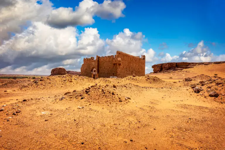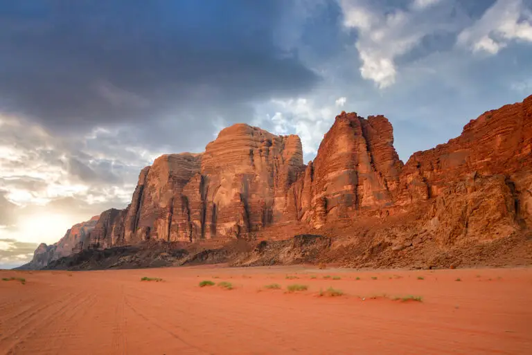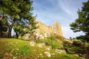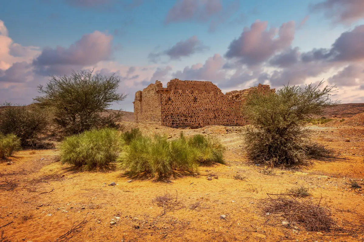


Where the plateau south of Ma’an breaks off into the desert, the pilgrims of the Hajj faced the steep, stony descent of Batn al-Ghul. At its head stands Qal’at Fassu’a, a small fort with two reservoirs, the last station on high ground before the long road south.
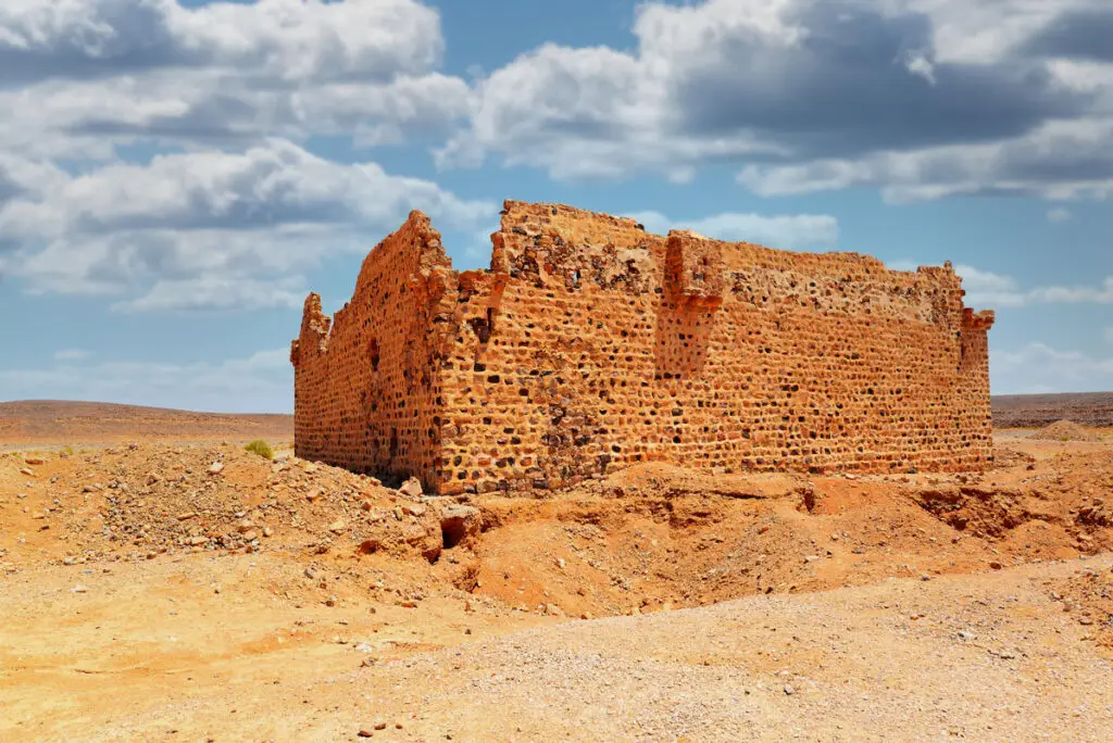
Where Is Qal’at Fassu’a?
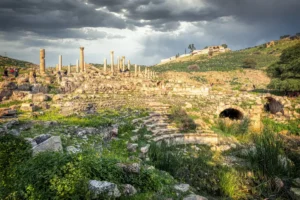
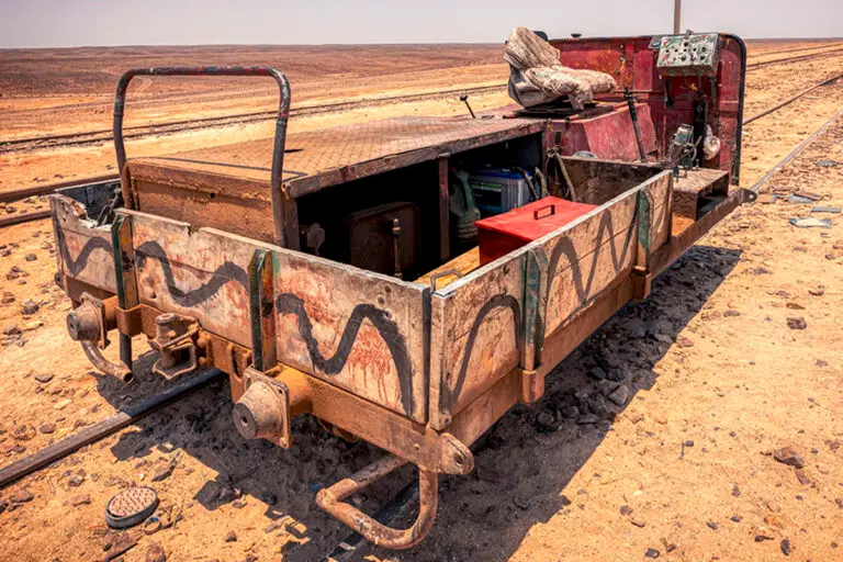
The fort lies about 50 km south-east of Ma’an, off the Ma’an–Mudawwara road, in a shallow valley on the Fassu’a plateau. The old railway station is about 2 km to the east, and a gravel quarry lies just to the south.
Historical Context and Origin
Pilgrims crossed this “pass of flints” long before the fort: Ibn Battuta passed in 1326. The fort is first recorded in 1779, when the traveller Mehmed Edib wrote that Osman Pasha had built a fort and a fountain here. It is dated to the mid-18th century, the reign of Sultan Mustafa III (1757–1773). By 1825 two of its walls had collapsed, and from then on visitors described a ruin.
Architectural Design
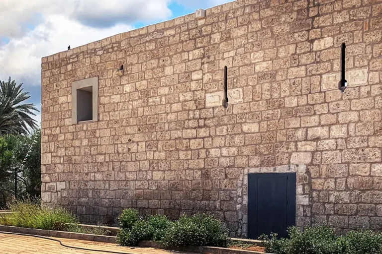
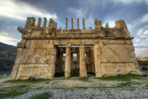
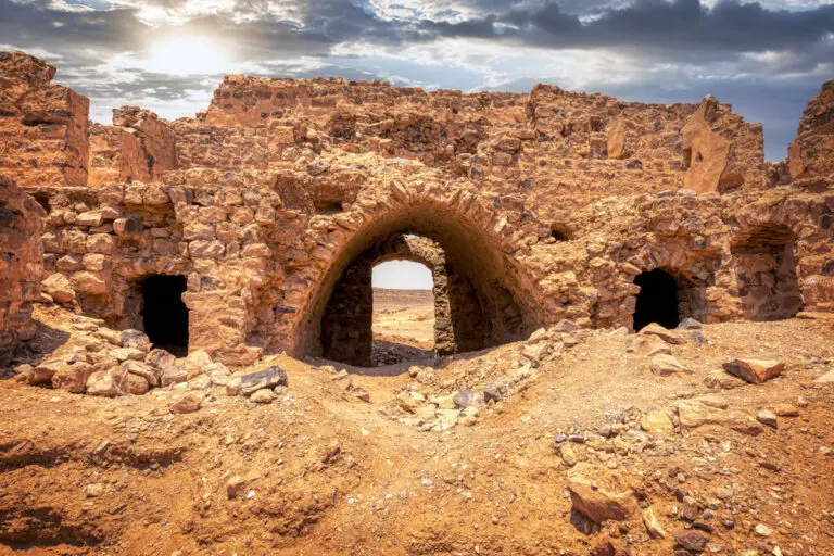
The fort is about 20 m square and about 7 m high, with two storeys around a small courtyard. Its single gate, in the middle of the north side, has a dressed sandstone frame and a round arch. Small corner turrets and a box machicolation over the south wall defended it. The ground-floor rooms served as stables and stores, and there is a prayer room with a mihrab on each floor. A cistern in the courtyard collected rain from the roof.
The Gate
A sandstone-framed gate with a round arch in the north wall.
Two Prayer Rooms
A prayer niche on each floor.
Twin Reservoirs
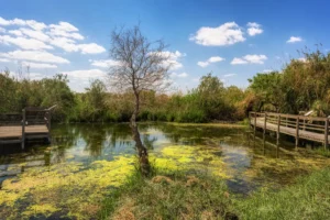
Two rectangular pools fed by stone catchments.
Batn al-Ghul
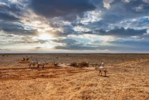
The steep descent into the desert begins nearby.
The Lost Gate Inscription
An inscribed sandstone panel formerly stood above the gateway but was removed after 1986, and its whereabouts are unknown. It held two cartouches within one composite panel, and its text was never fully deciphered. Outside the fort, two parallel reservoirs fed by stone catchments lie about 40 m from the gate, and a modern pool nearby is still used by Bedouin.
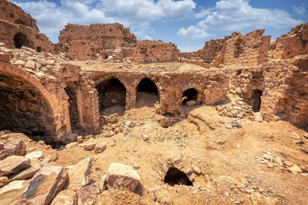
Destruction, Rediscovery, and Restoration
Alois Musil described “the small ruined fortress” in 1910. The Hejaz Railway, opened in 1908, ended the caravans, though the reservoirs supplied the railway until 1918. Andrew Petersen recorded the fort for his study of the Hajj route. It has never been restored, and because it post-dates 1700 it has no legal protection; looting pits have been dug inside.
Visiting Qal’at Fassu’a Today
The fort is unfenced and free, with no facilities. Come by 4×4 and allow about 30 minutes. See our Qal’at Fassu’a travel guide for directions.
Further reading: Petersen, The Medieval and Ottoman Hajj Route in Jordan (2012); Tütüncü & Petersen — Ottoman inscriptions of the Hajj forts (2017); EAMENA — The Ottoman Hajj Forts of Southern Jordan.