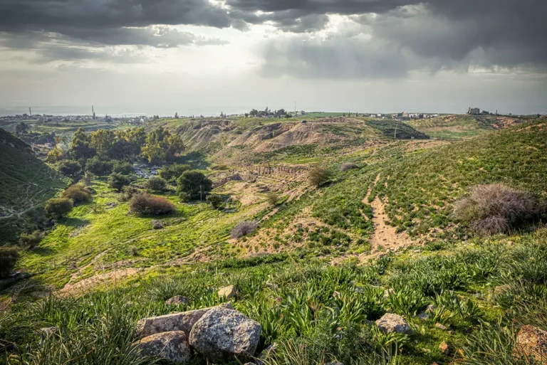
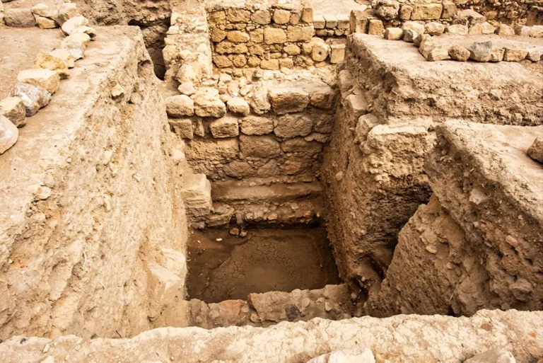
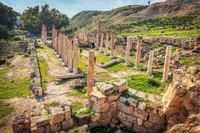
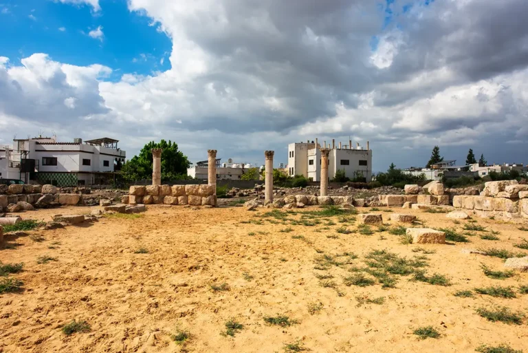
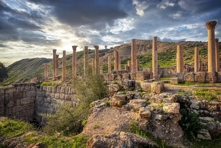
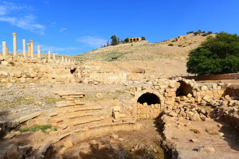
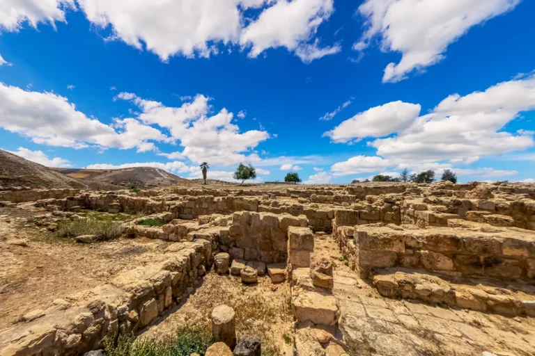
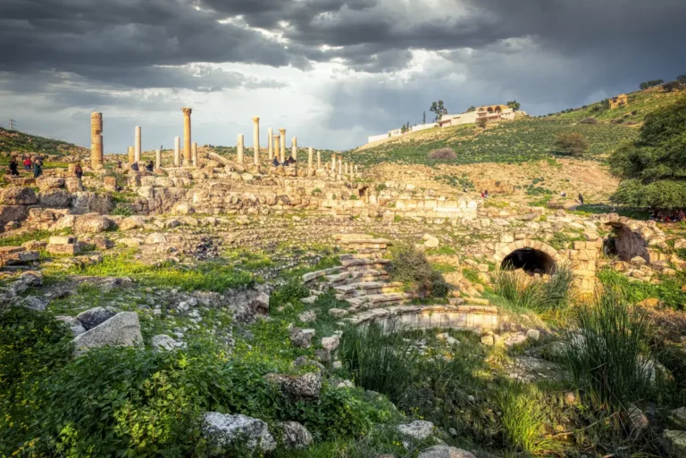
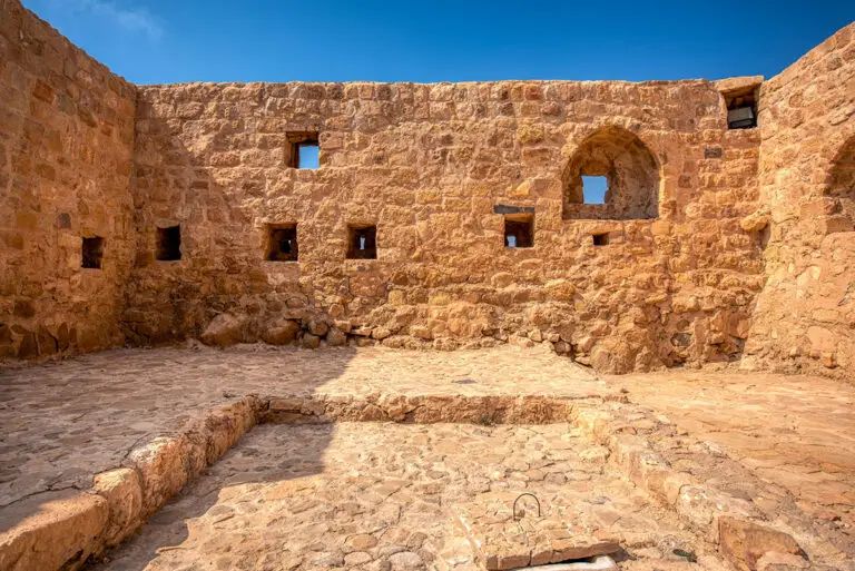
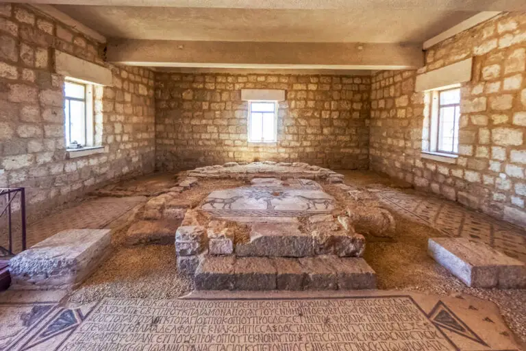
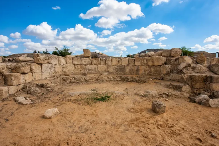
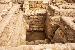
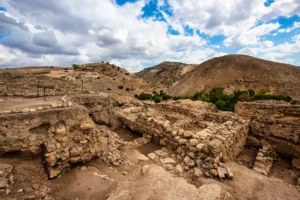
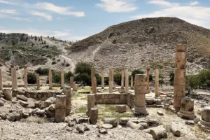
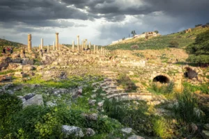
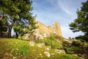
This 360° panorama stands among the pillar bases and thick foundation walls of the Canaanite Temple at Pella, also known as the Fortress Temple. The remains belong to a succession of buildings rather than a single sanctuary: excavations have traced six temple phases, from about 1900 BCE into the Iron Age, with the latest destroyed around 800 BCE.
Turn through the view to see the layout of the temple on the southern side of Pella’s main mound. The large Middle Bronze Age building measured about 32 × 24 m, and later builders reworked it again and again, adding a pillared hall and narrowing the entrance to the western sanctuary.
It is one of several panoramas of Pella on this site. Use the Pella travel guide to plan your route around the mound, the churches and the odeon, or read the full profile of the Canaanite Temple for the history.