Qasr Abu El-Kharaq: A Desert Watchtower in Photos

Share

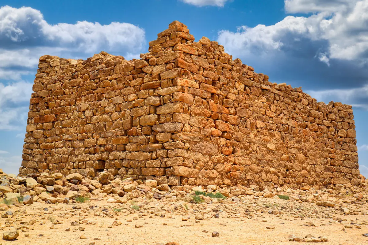
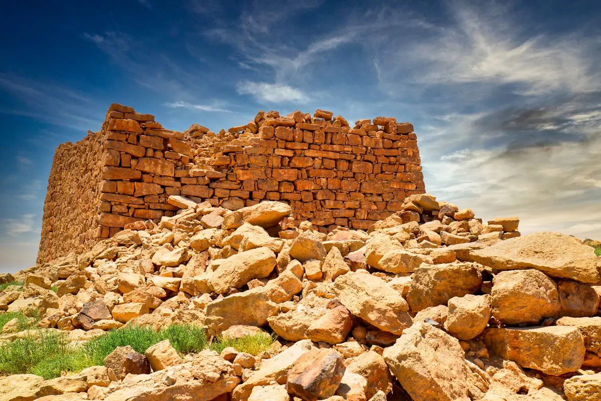
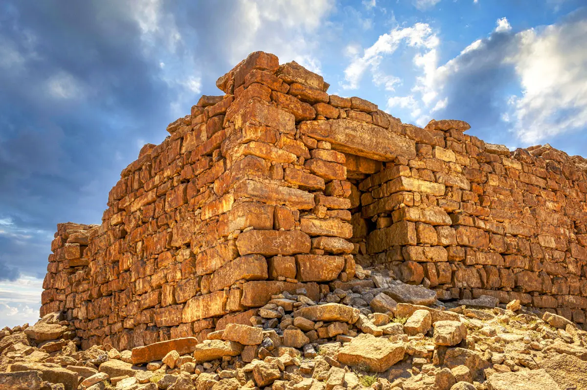
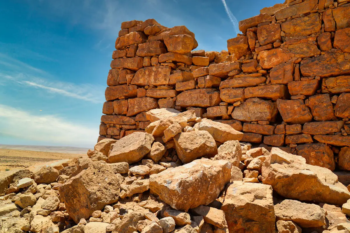
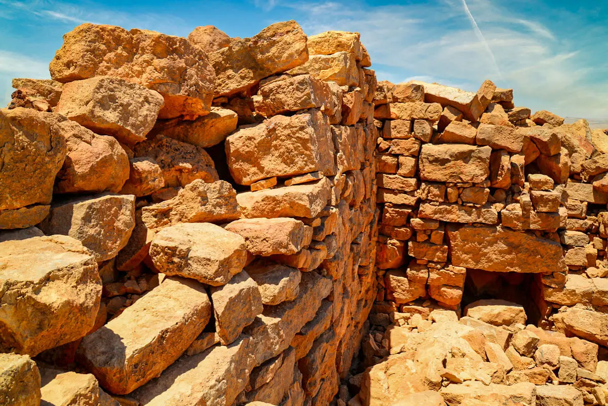
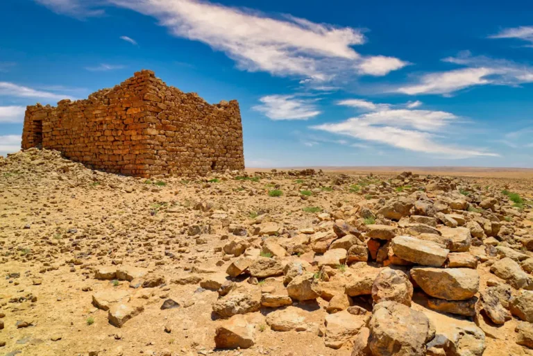
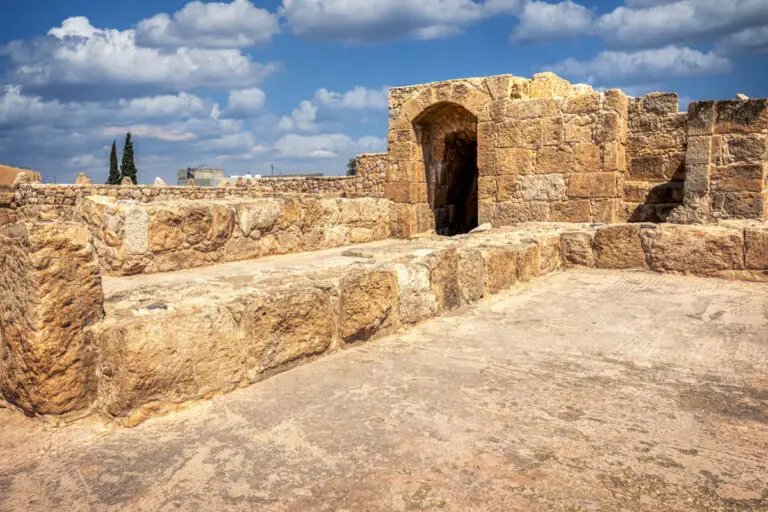
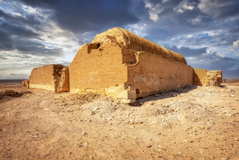
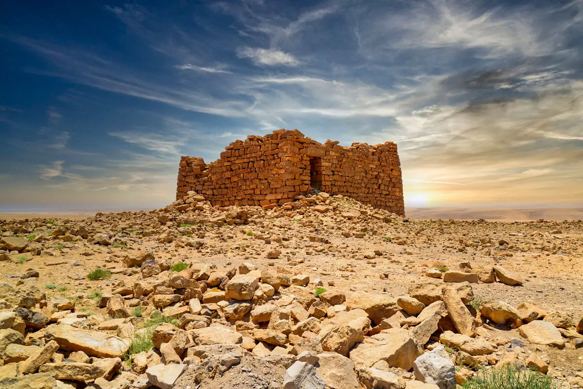
On a hilltop north-west of Qasr Bshir, Qasr Abu El-Kharaq is a large dry-stone tower with walls that lean inwards, probably founded in the Iron Age and used again later. This album shows the tower from outside, its doorway and masonry, and the views from the hill.

In this album

16 photos of Qasr Abu El-Kharaq

Tap a photo to open it full size
The tower on its hilltop, Qasr Abu El-Kharaq, Jordan
01The Tower on its Hill
A corner of the tower with inward-sloping walls, Qasr Abu El-Kharaq, Jordan
02Sloping Walls
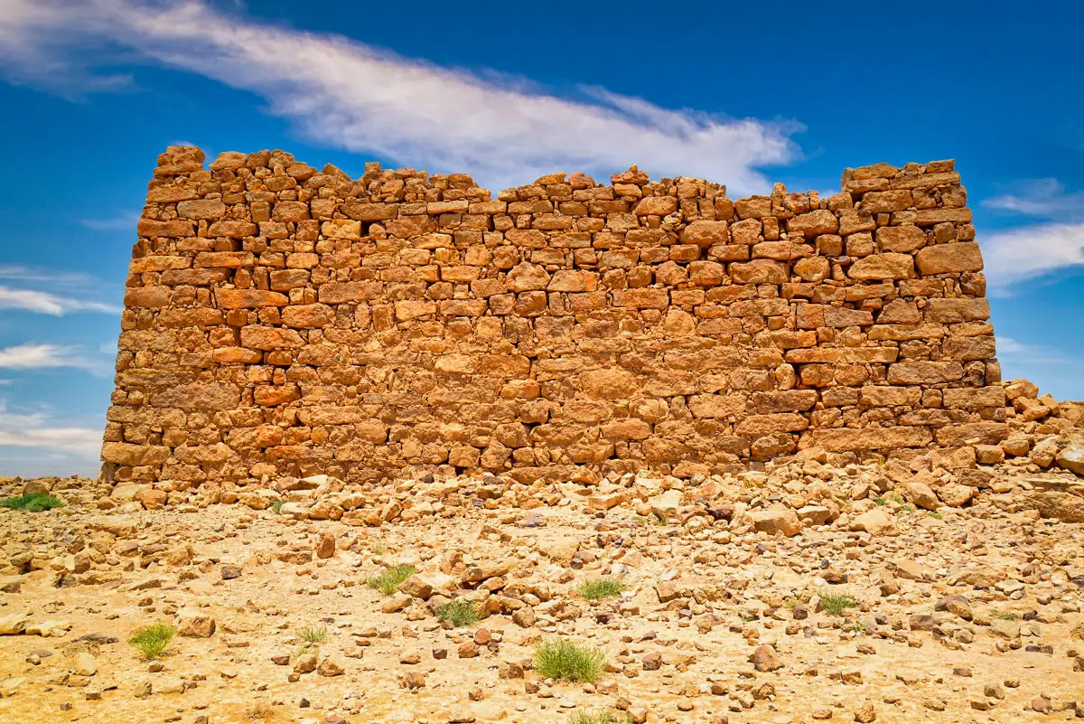
The long side of the tower, Qasr Abu El-Kharaq, Jordan
03The Long Side
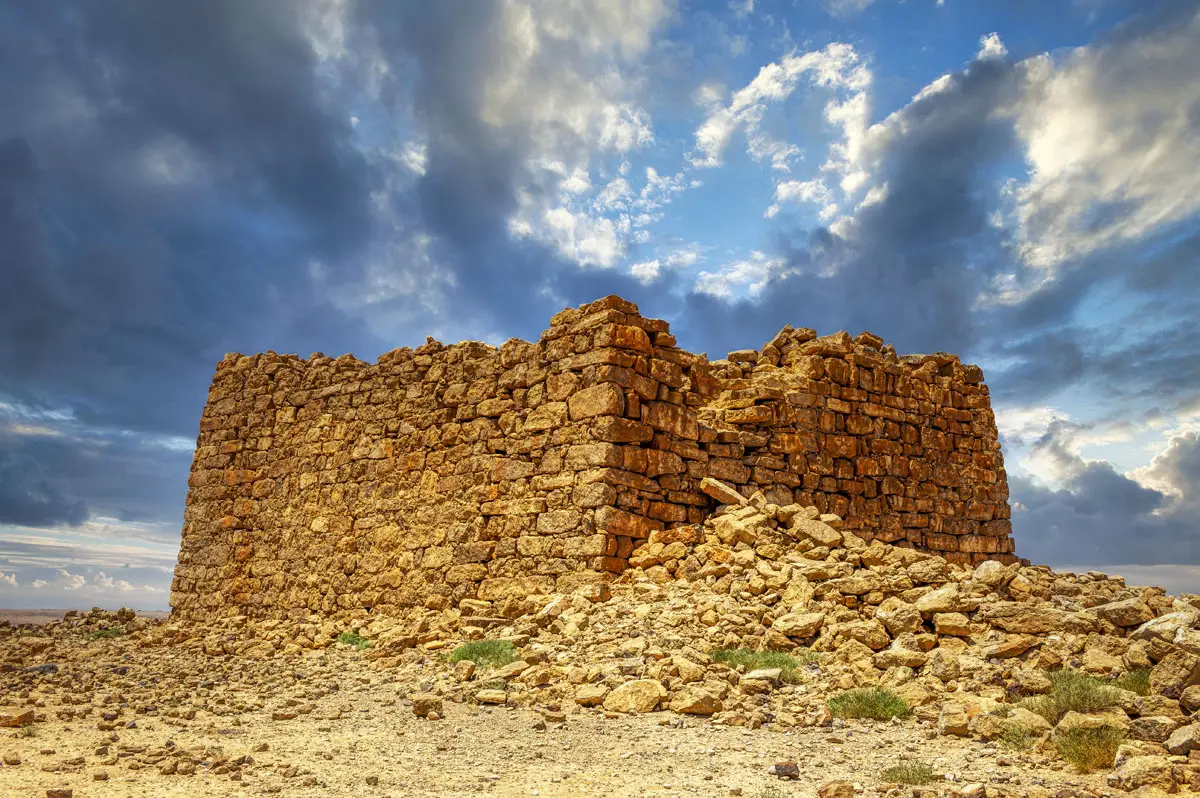
The tower walls under clouds, Qasr Abu El-Kharaq, Jordan
04Under the Clouds
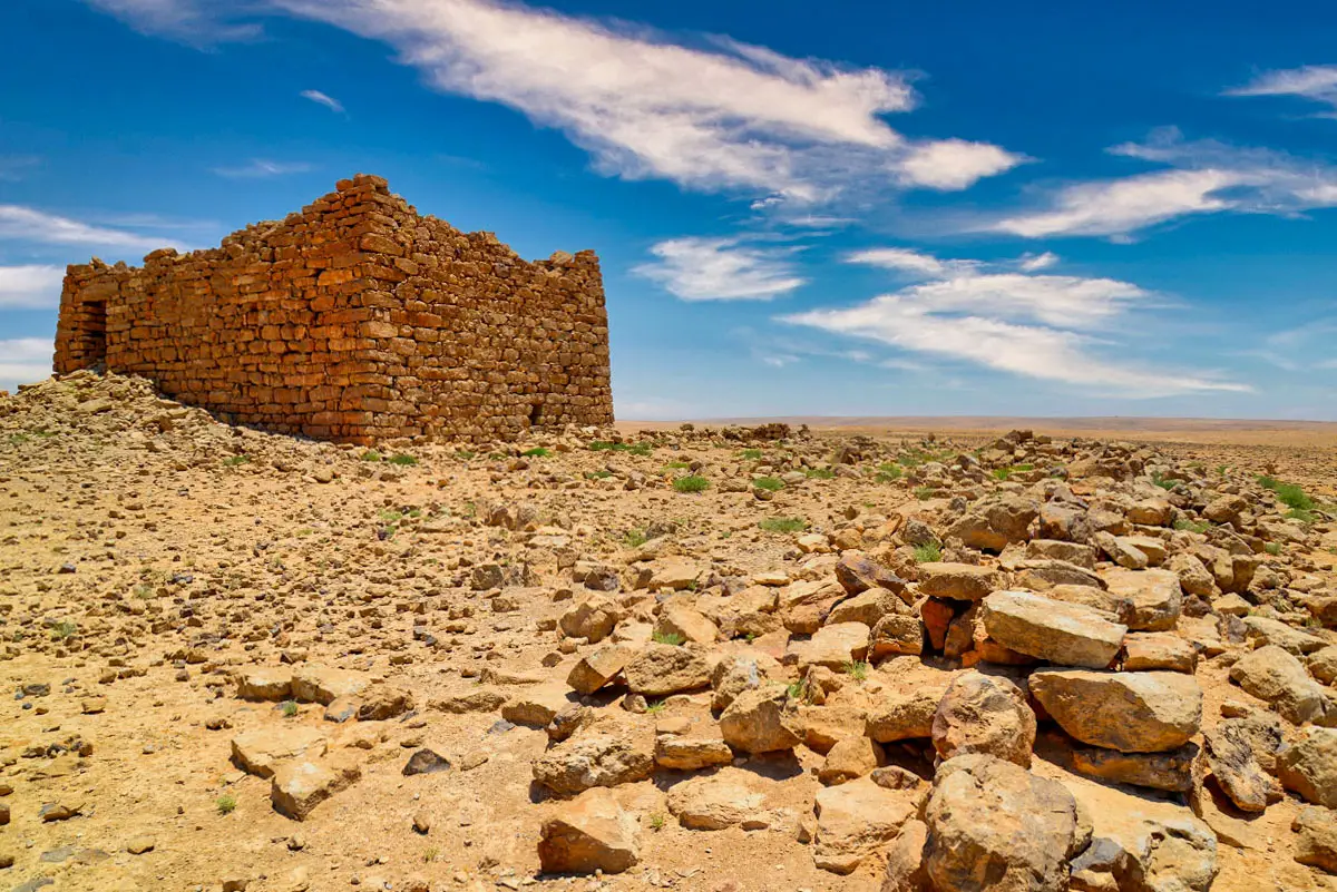
The tower seen from the slope below, Qasr Abu El-Kharaq, Jordan
05From Below
The tower above fallen stones, Qasr Abu El-Kharaq, Jordan
06Tower and Rubble
The doorway in the north wall of the tower, Qasr Abu El-Kharaq, Jordan
07The Doorway
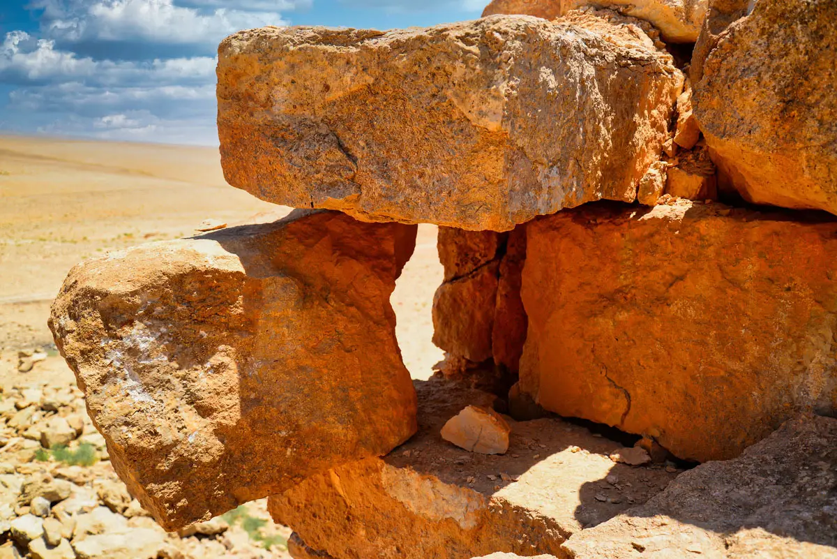
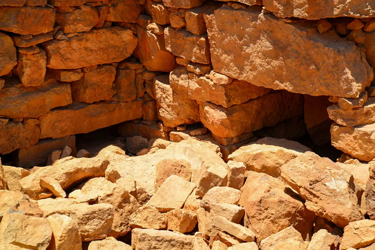
Large blocks set without mortar, Qasr Abu El-Kharaq, Jordan
08Big Blocks
Courses of roughly shaped stones, Qasr Abu El-Kharaq, Jordan
09Dry-Stone Courses
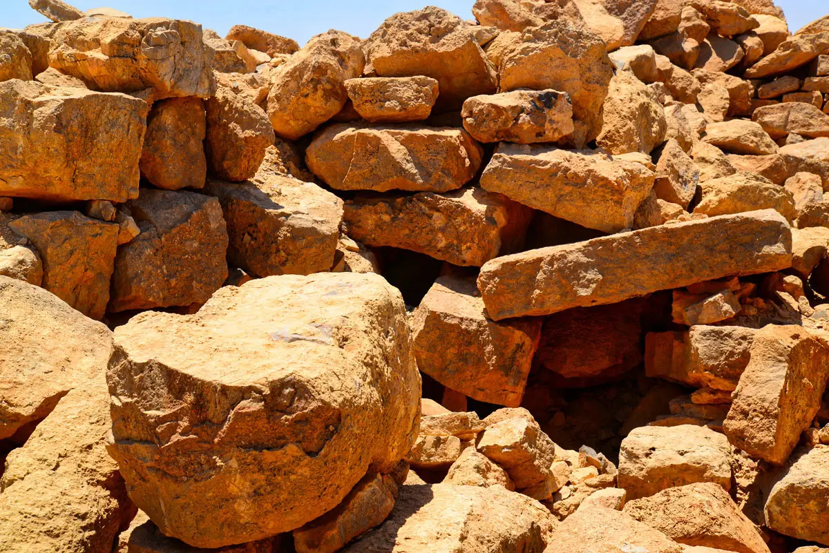
Fallen blocks against the tower wall, Qasr Abu El-Kharaq, Jordan
10Fallen Blocks
A wall still standing many courses high, Qasr Abu El-Kharaq, Jordan
11A Standing Wall
Cut corner stones of the tower, Qasr Abu El-Kharaq, Jordan
12The Corner Stones
A ruined wall with the plain beyond, Qasr Abu El-Kharaq, Jordan
13Wall and Plain
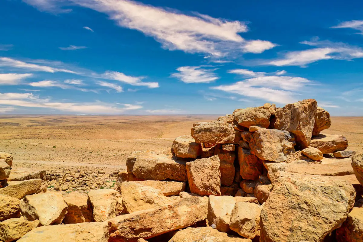
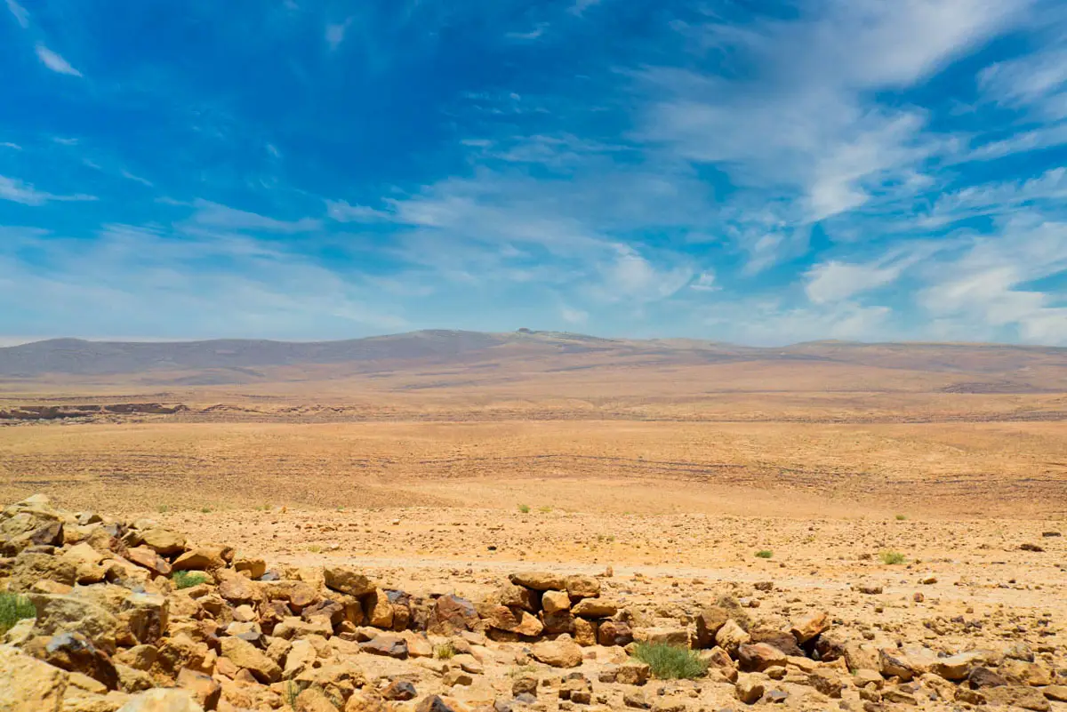
The view from the hilltop over the plain, Qasr Abu El-Kharaq, Jordan
14The View
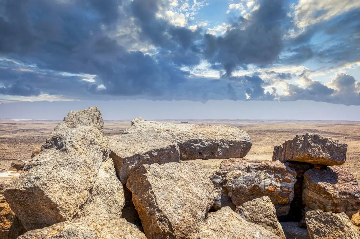
A large fallen slab on the hilltop, Qasr Abu El-Kharaq, Jordan
15A Fallen Slab
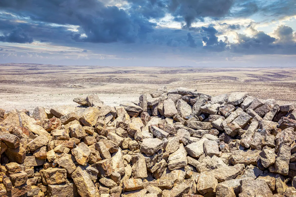
Loose stones on the hilltop, Qasr Abu El-Kharaq, Jordan
16Stones on the Hill

About this album

Site

Qasr Abu El-Kharaq, Karak & King’s Highway

Region

Karak & King’s Highway

Coordinates

31.3654° N, 35.9418° E

Photos

16 photos

Popular:
Themes
Periods
Browse by type