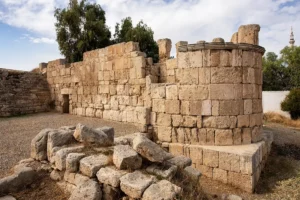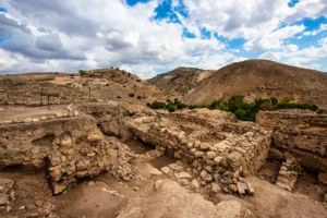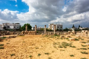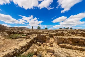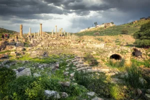
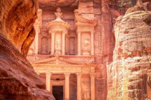
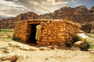
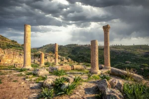
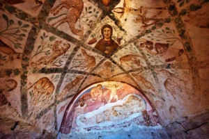
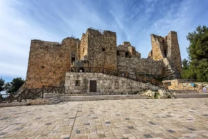
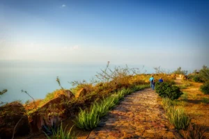

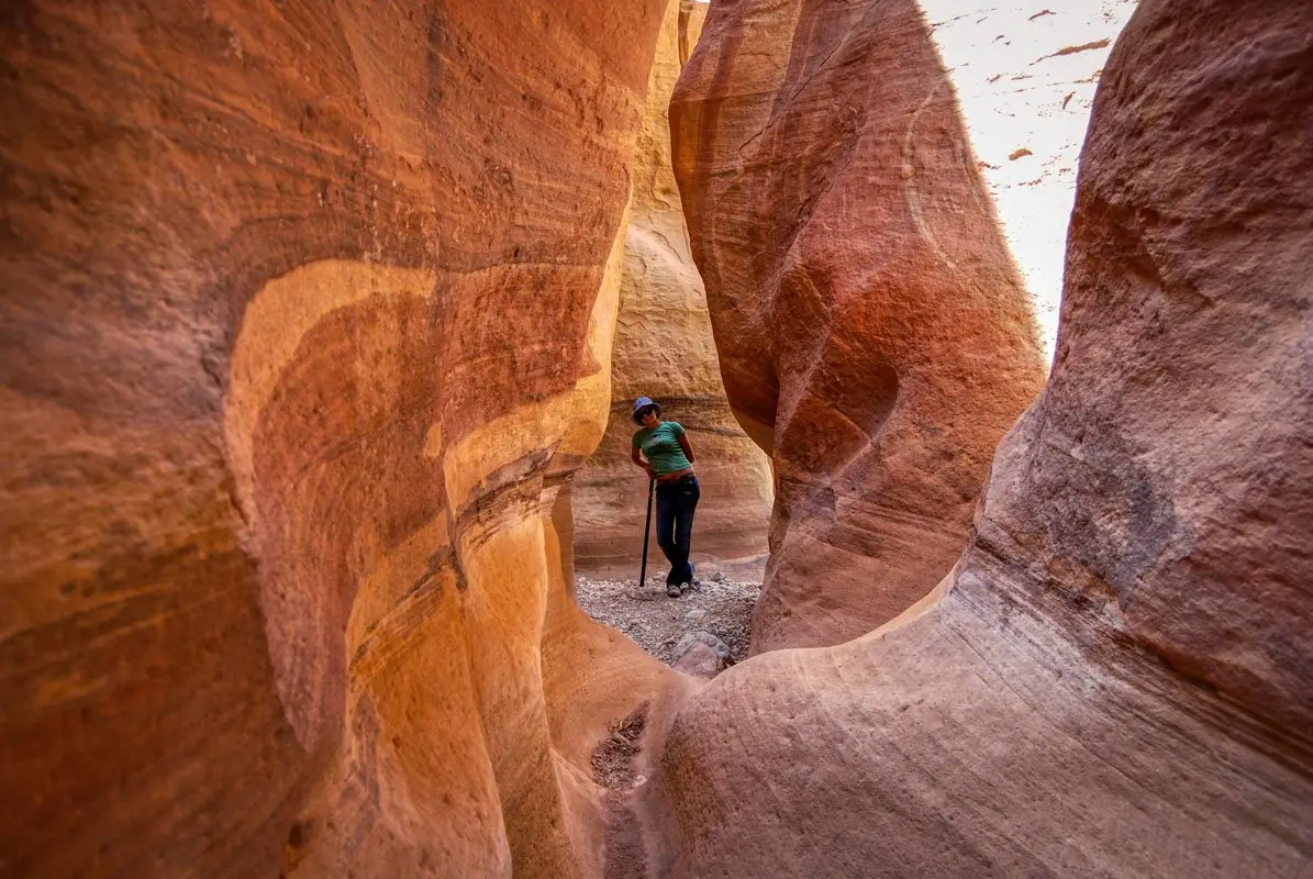
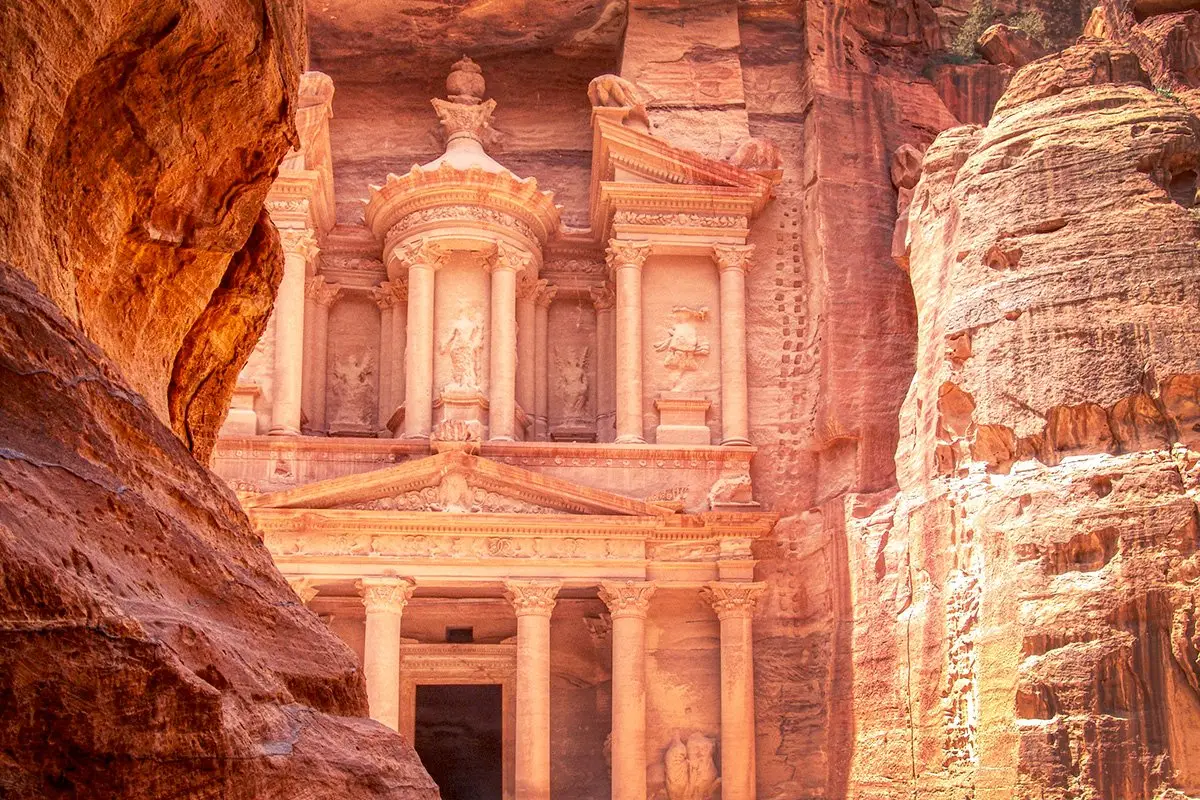
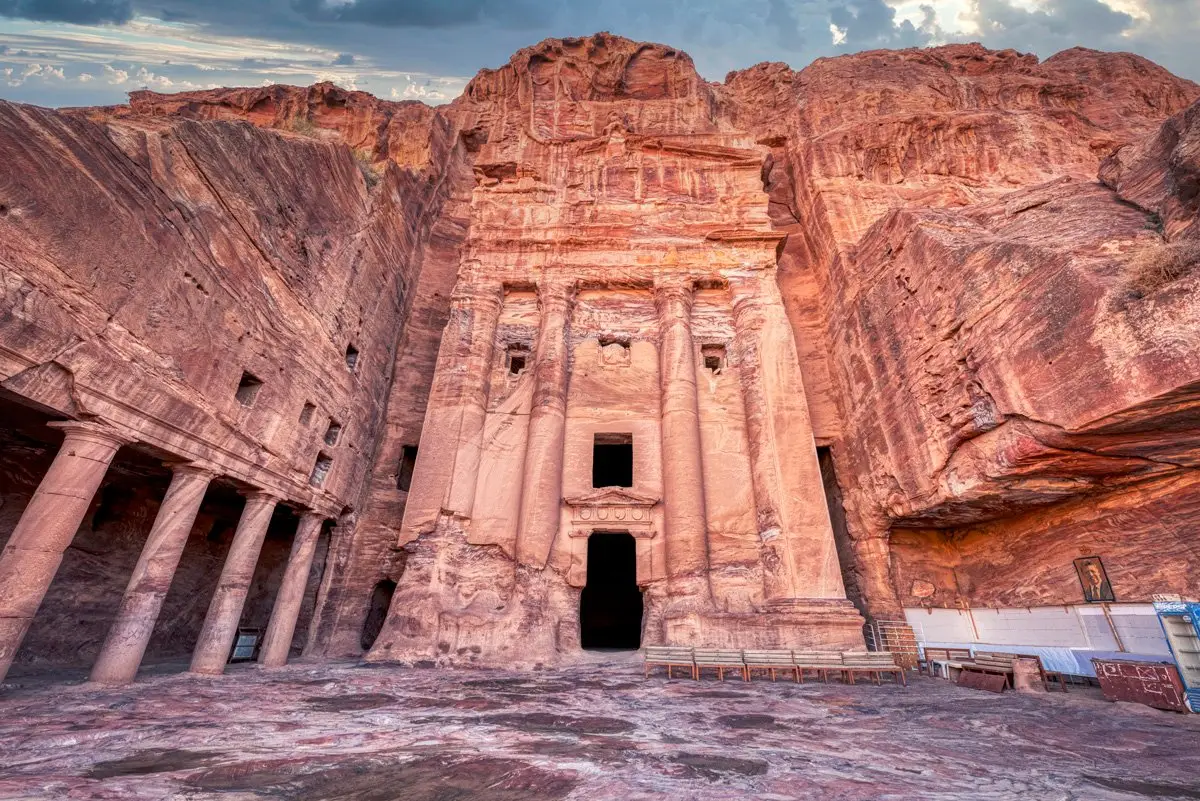
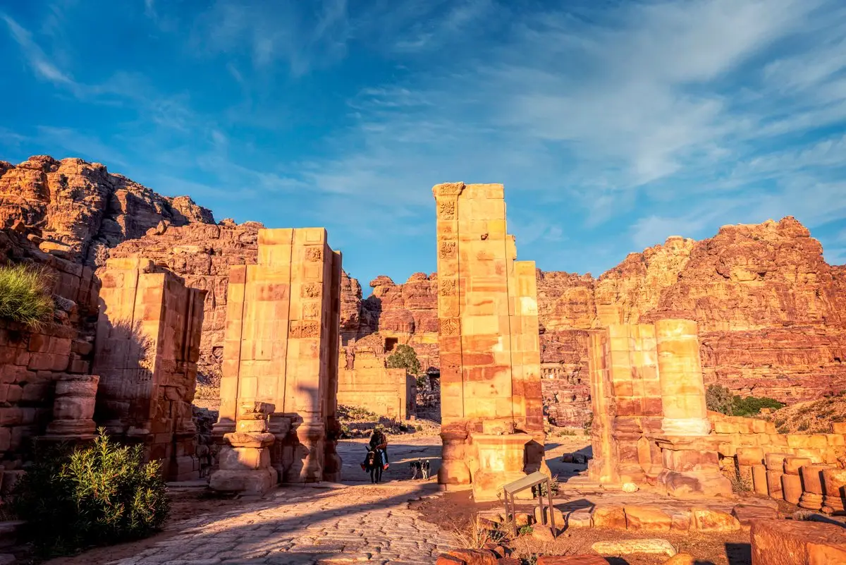
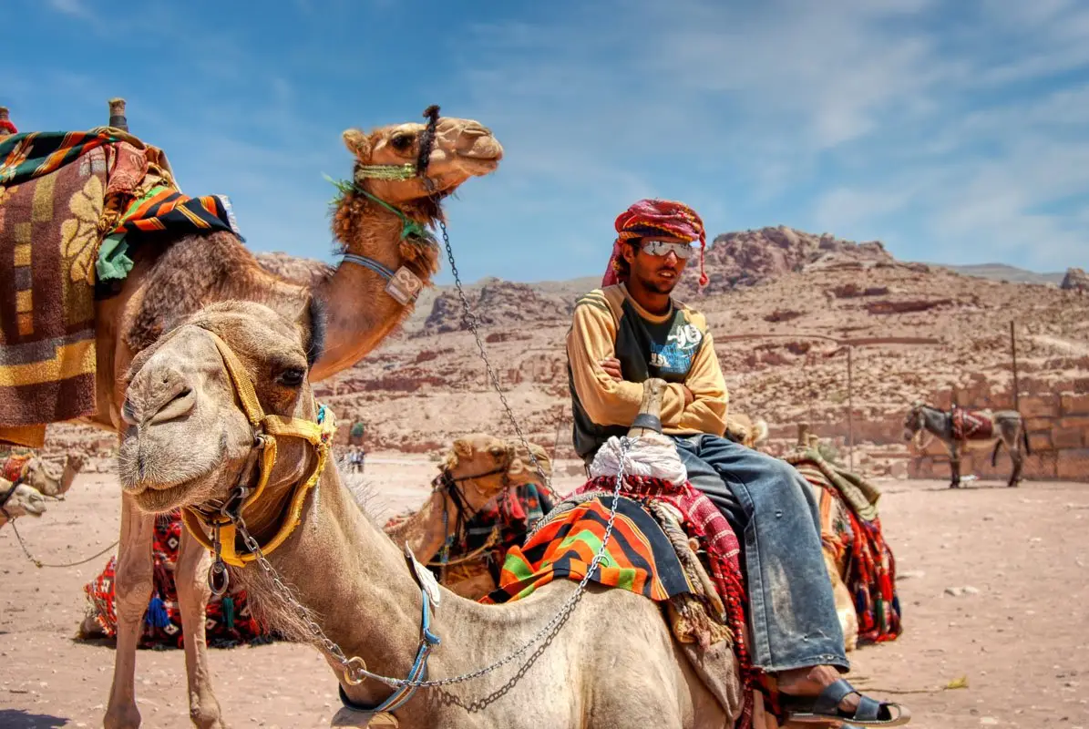
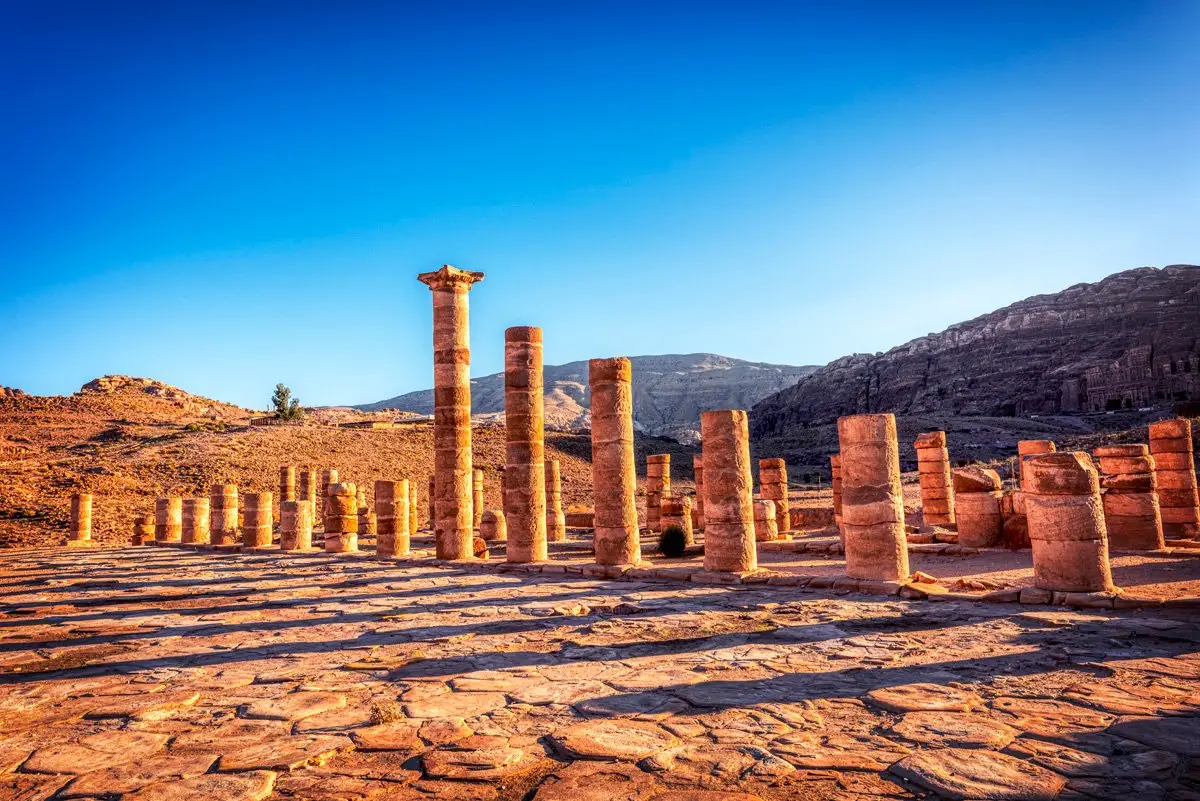
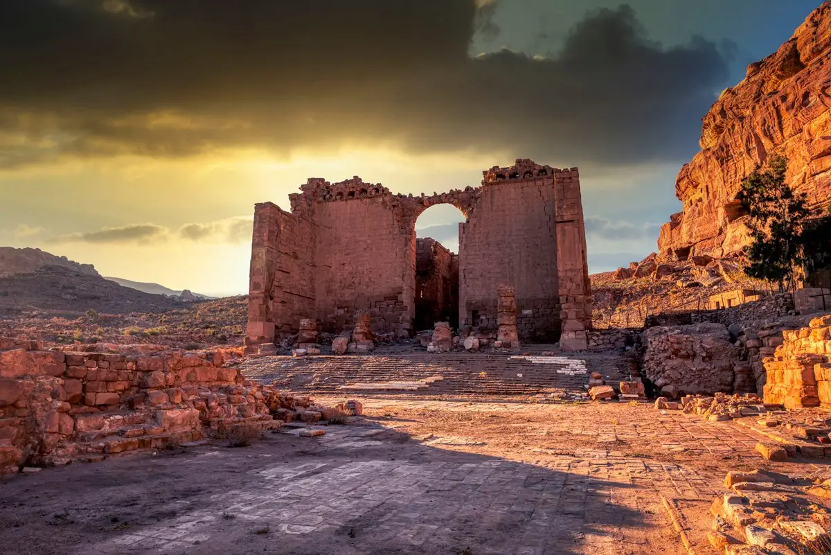
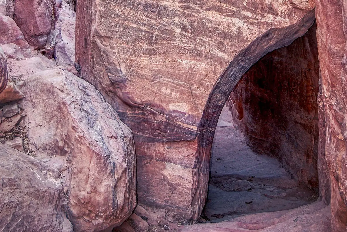
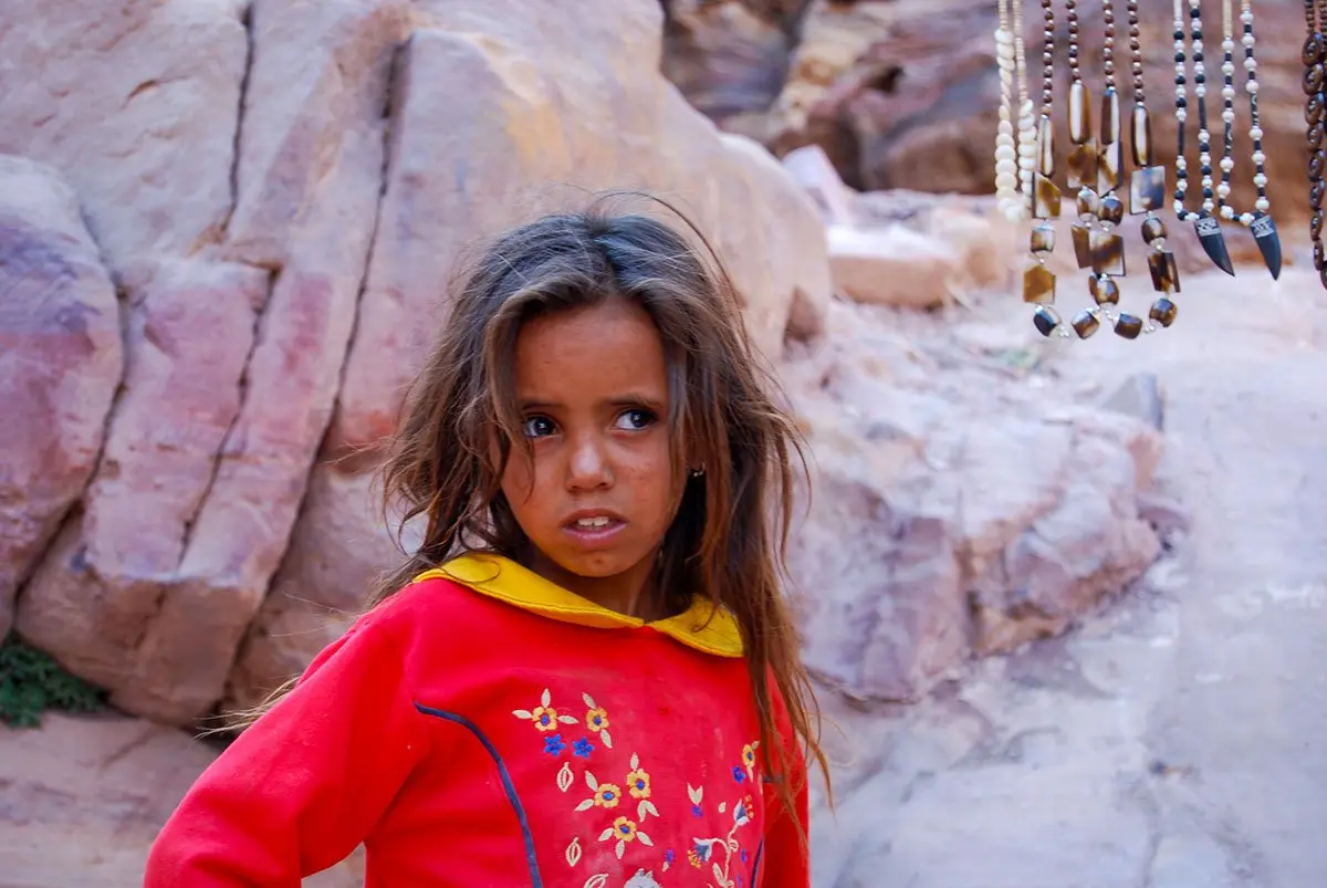
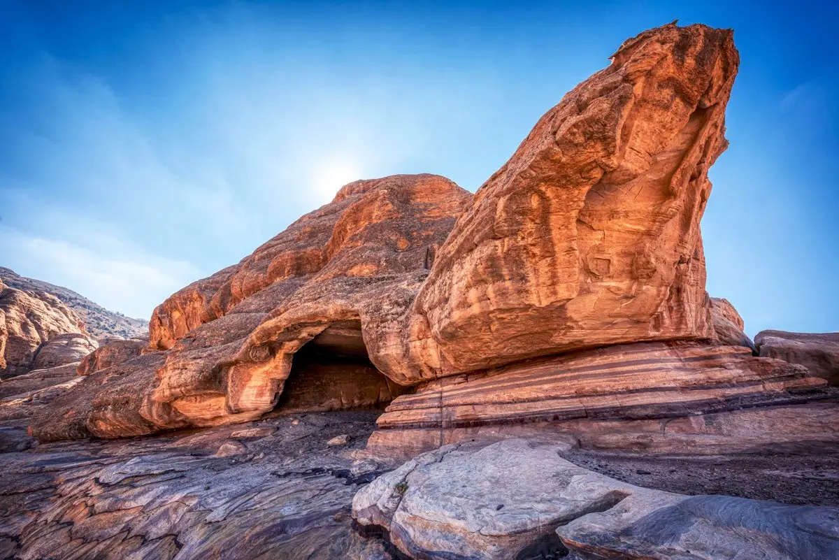
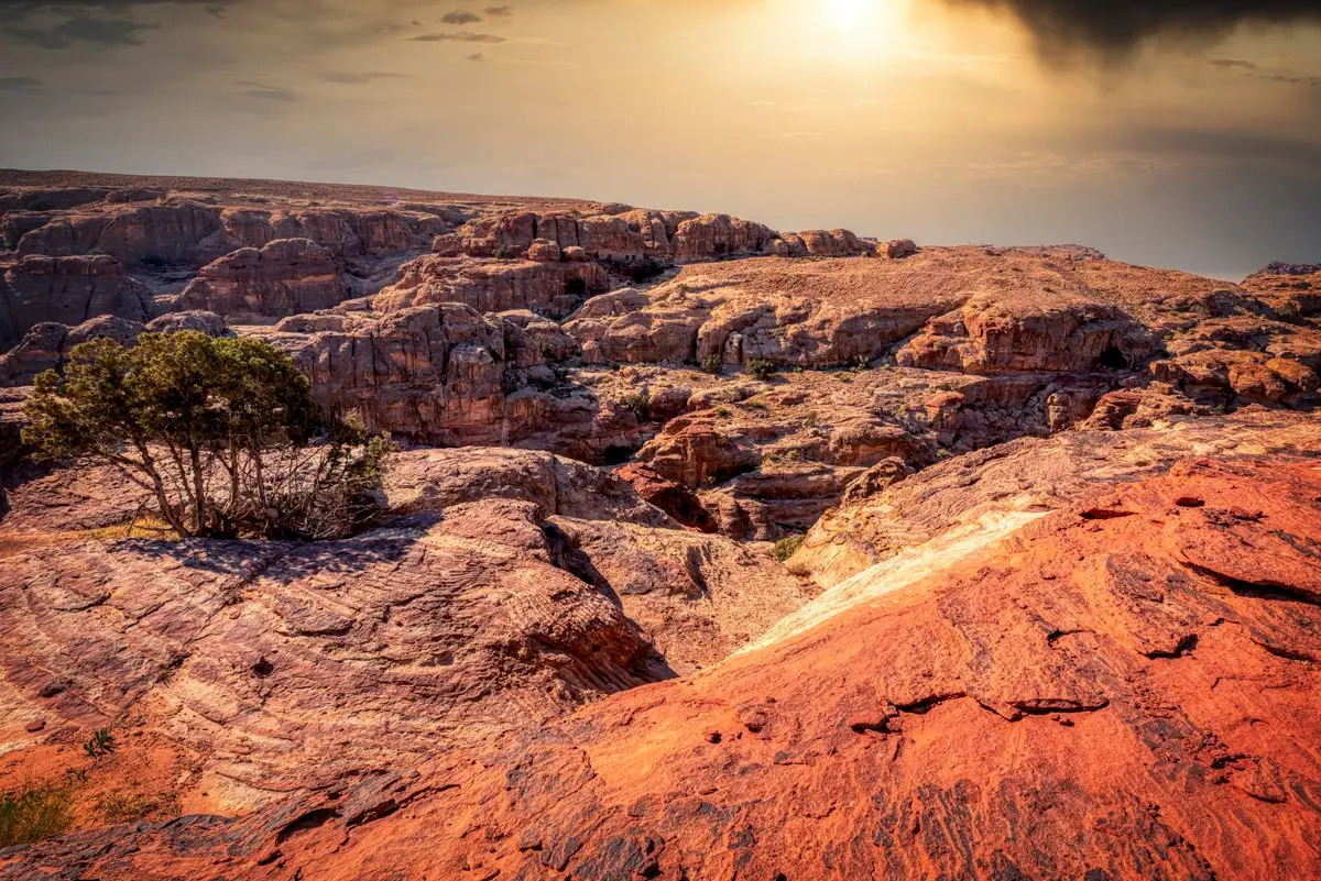
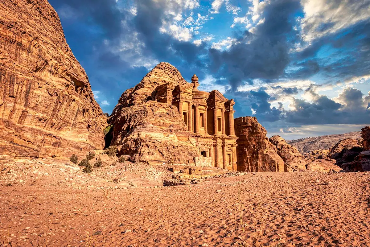
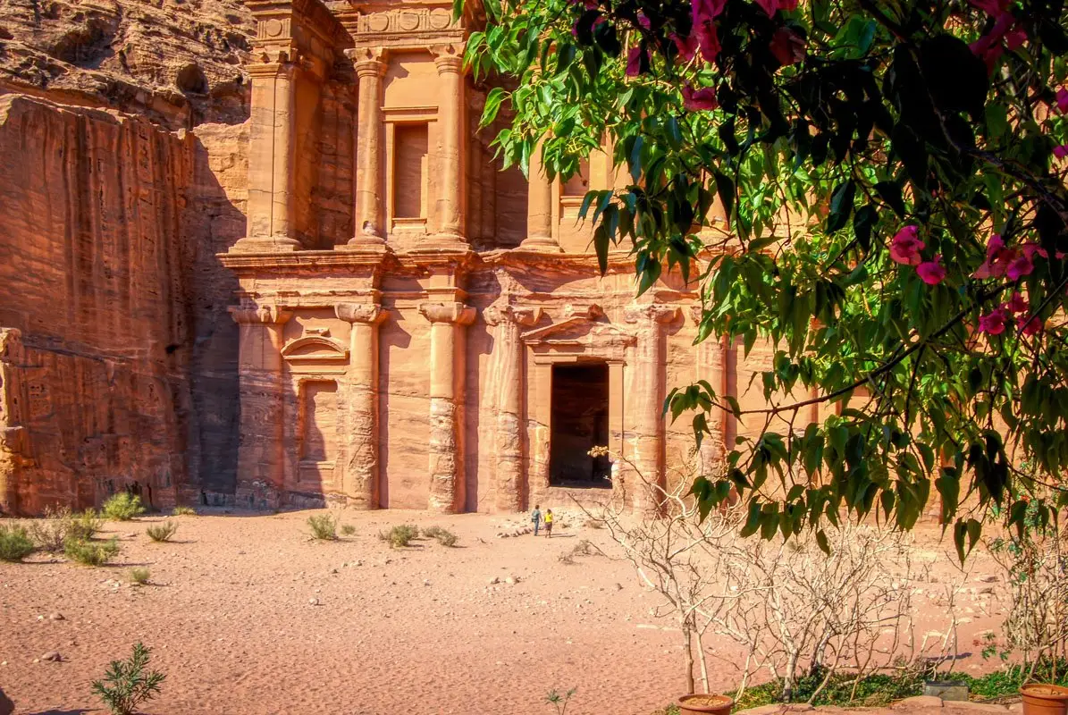
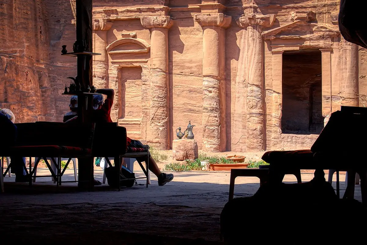
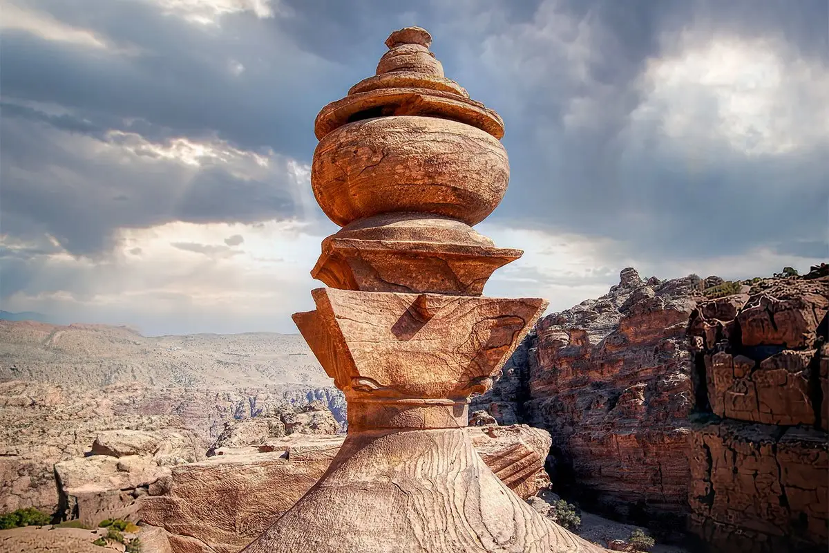
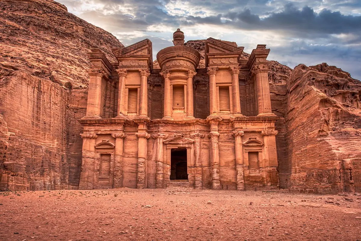
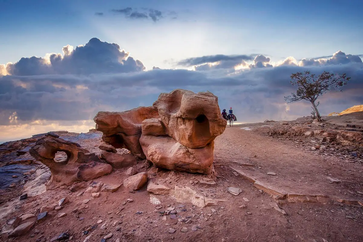
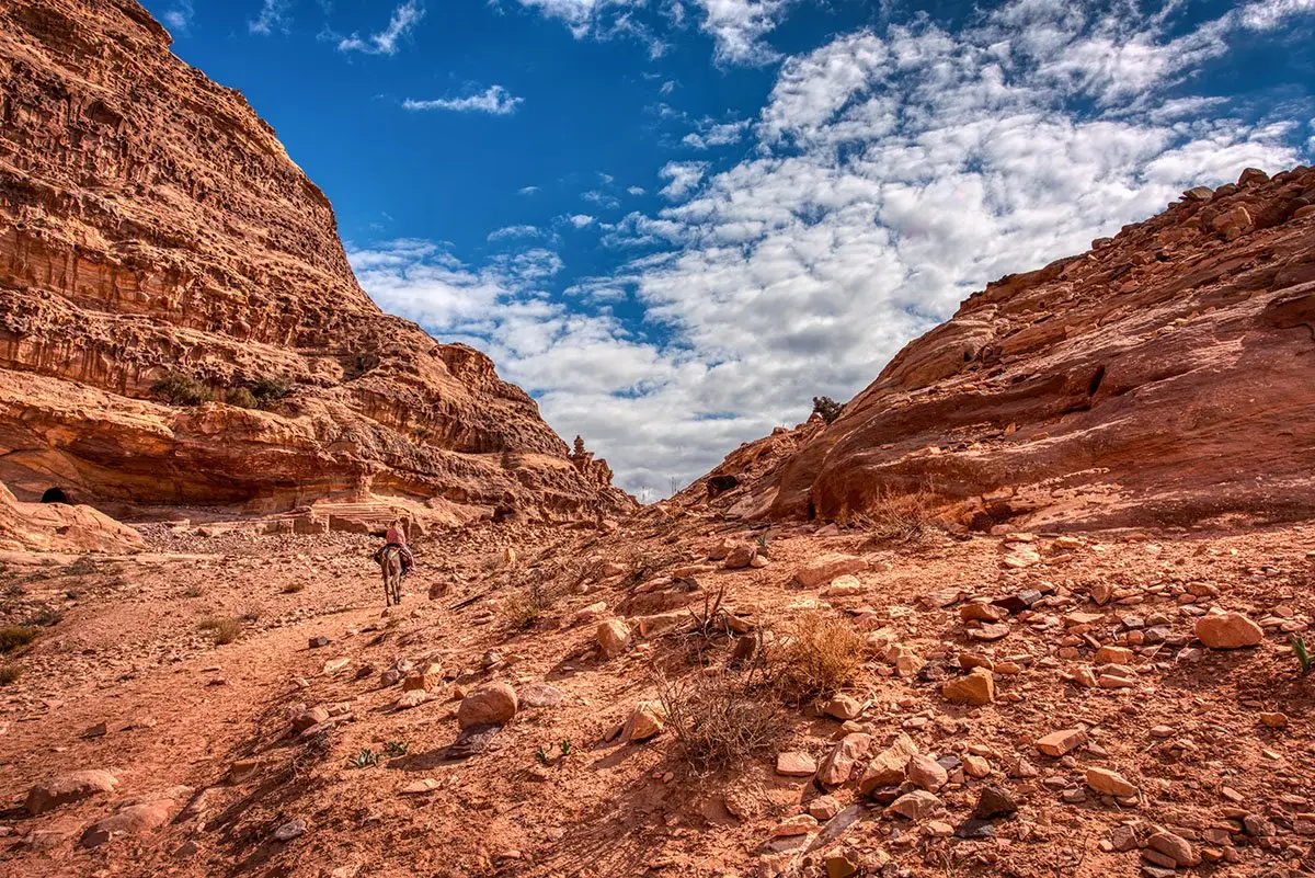
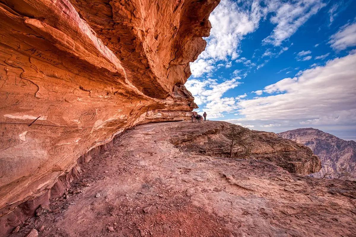
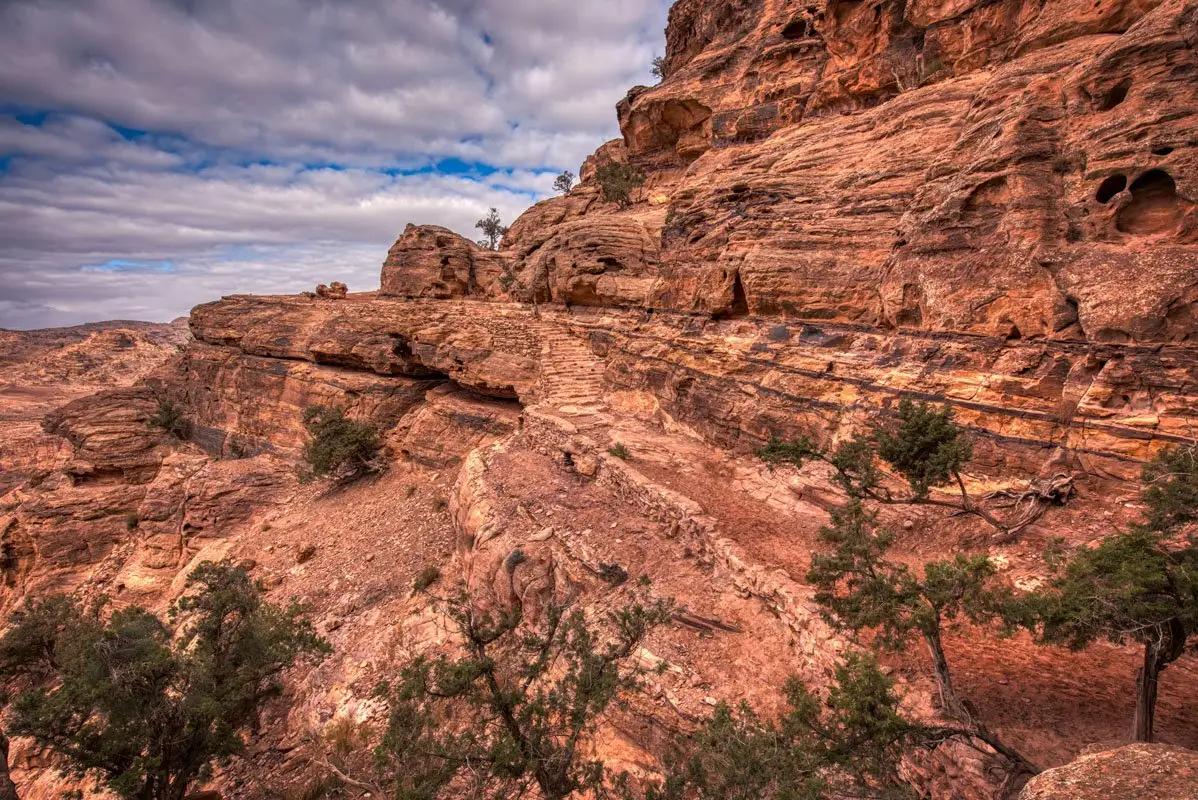
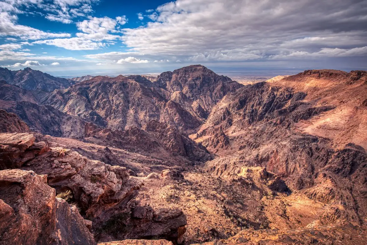
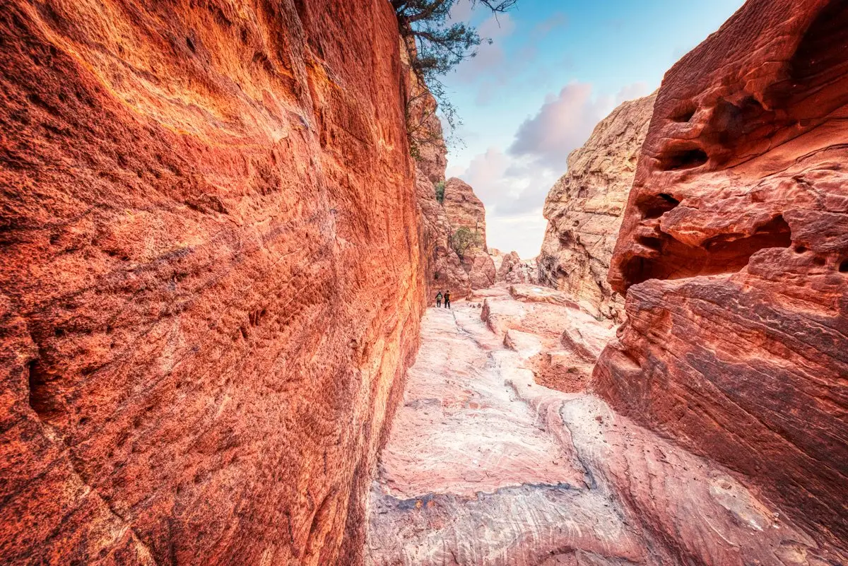
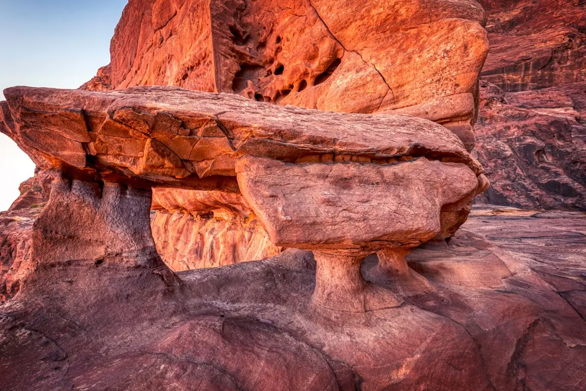
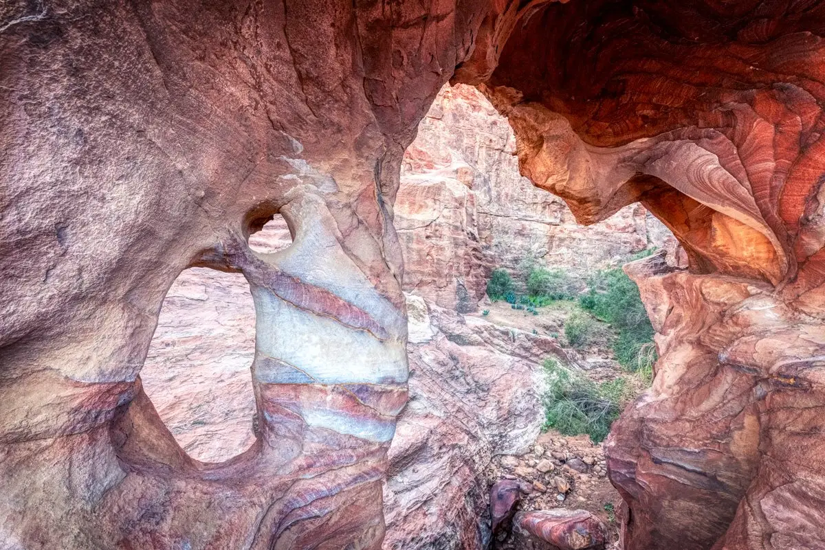
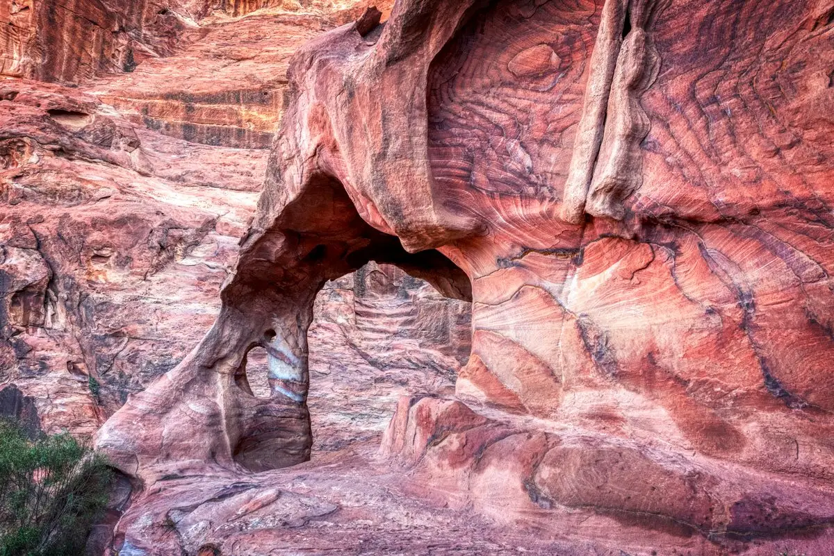
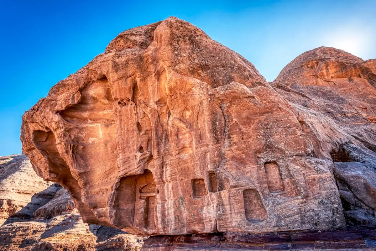
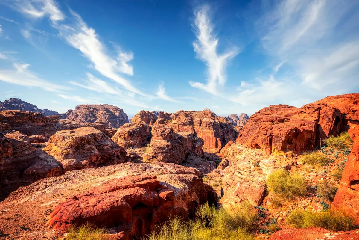
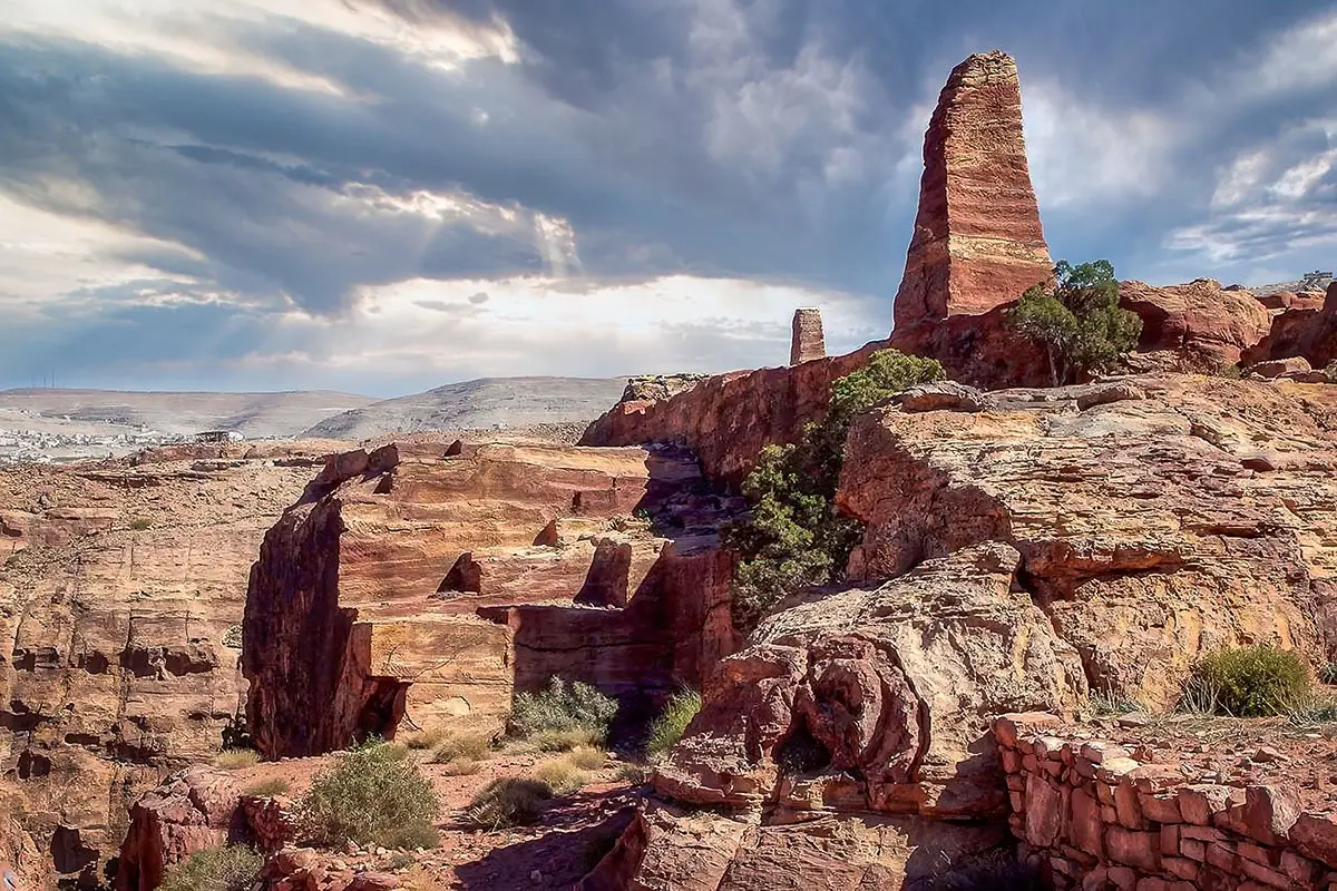
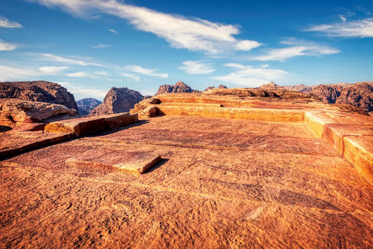
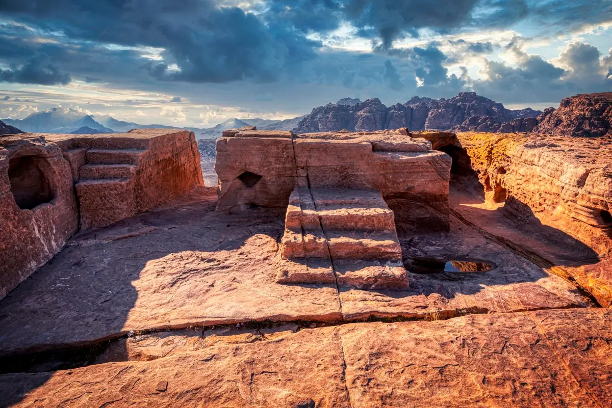
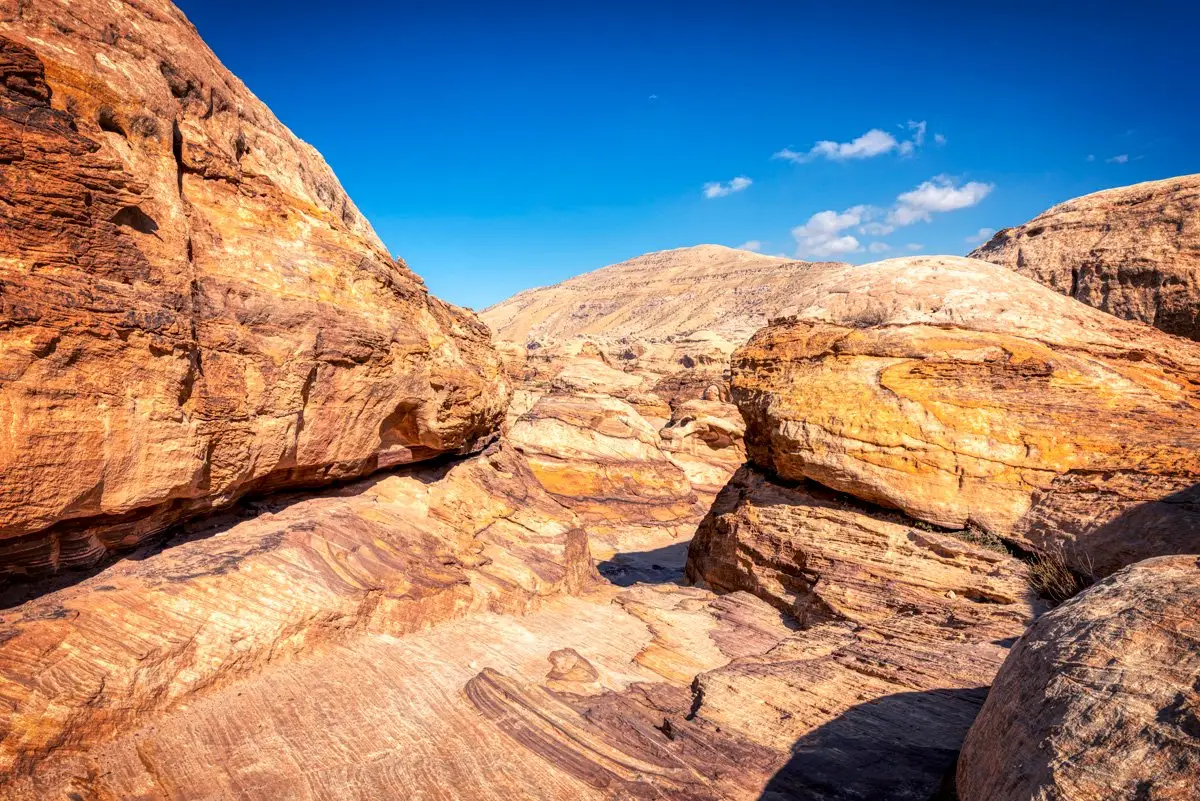
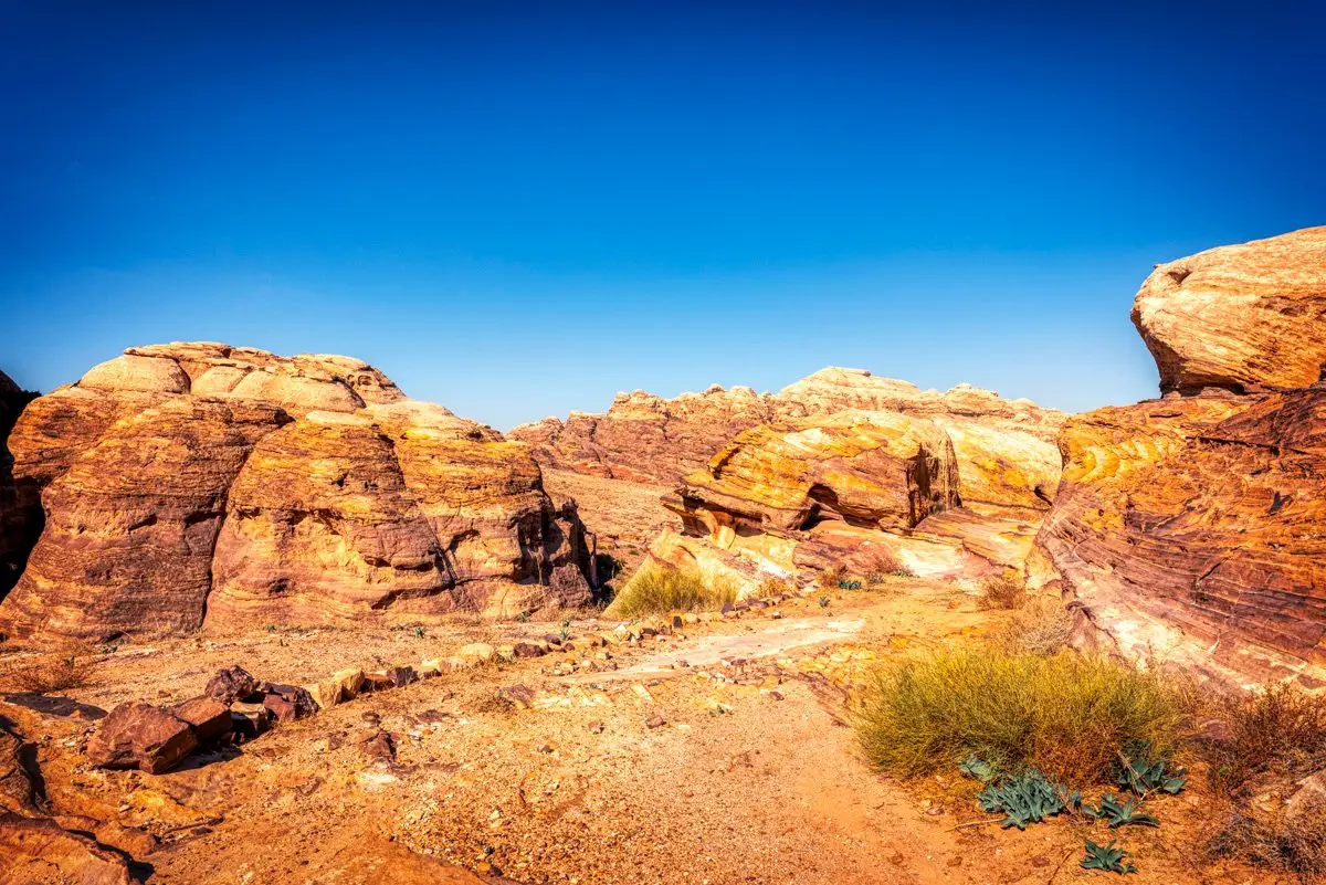
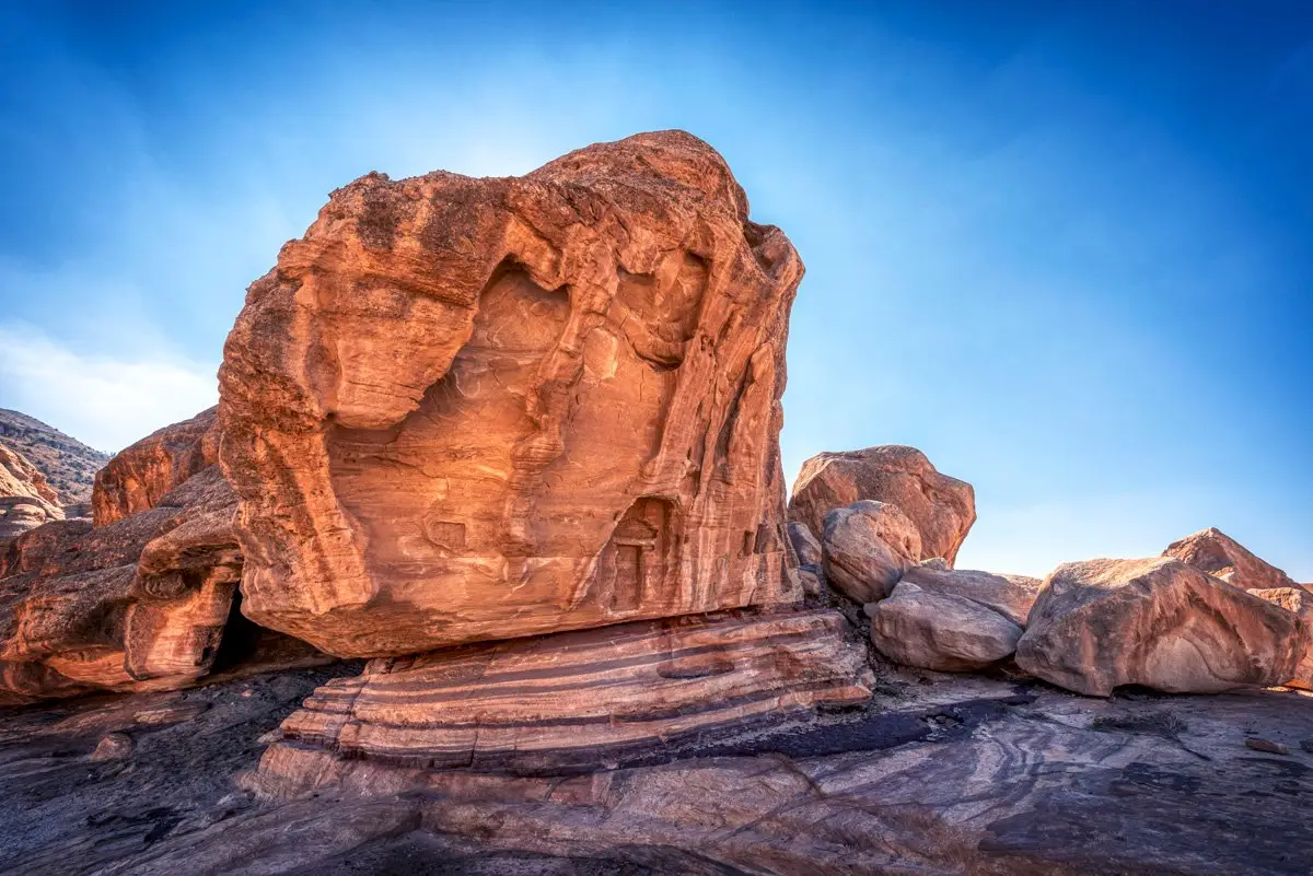
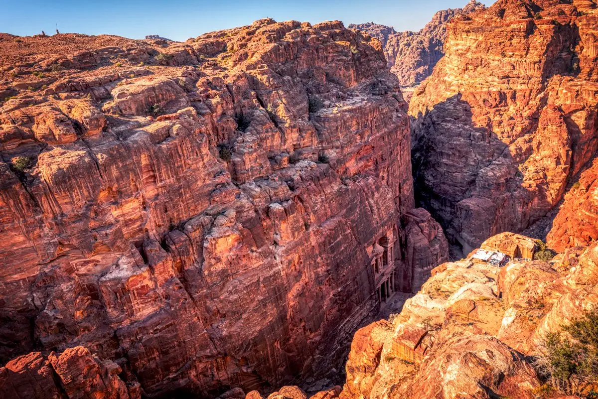
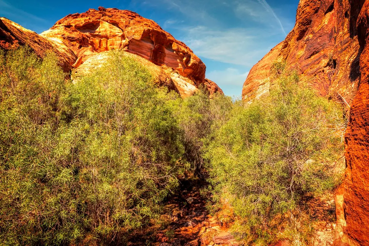
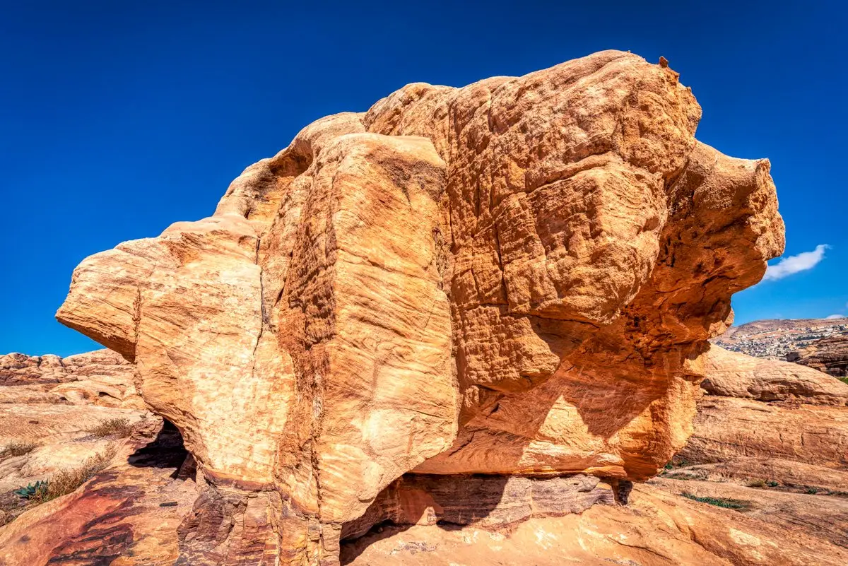
Beside the town of Wadi Musa, Petra was the rock-cut capital of the Nabataeans. This album follows its five main trails: the Main Trail through the Siq to the Treasury and the city centre, the Monastery Trail, the Backdoor Trail, the High Place of Sacrifice and al-Khubtha.
In this album
42 photos of Petra
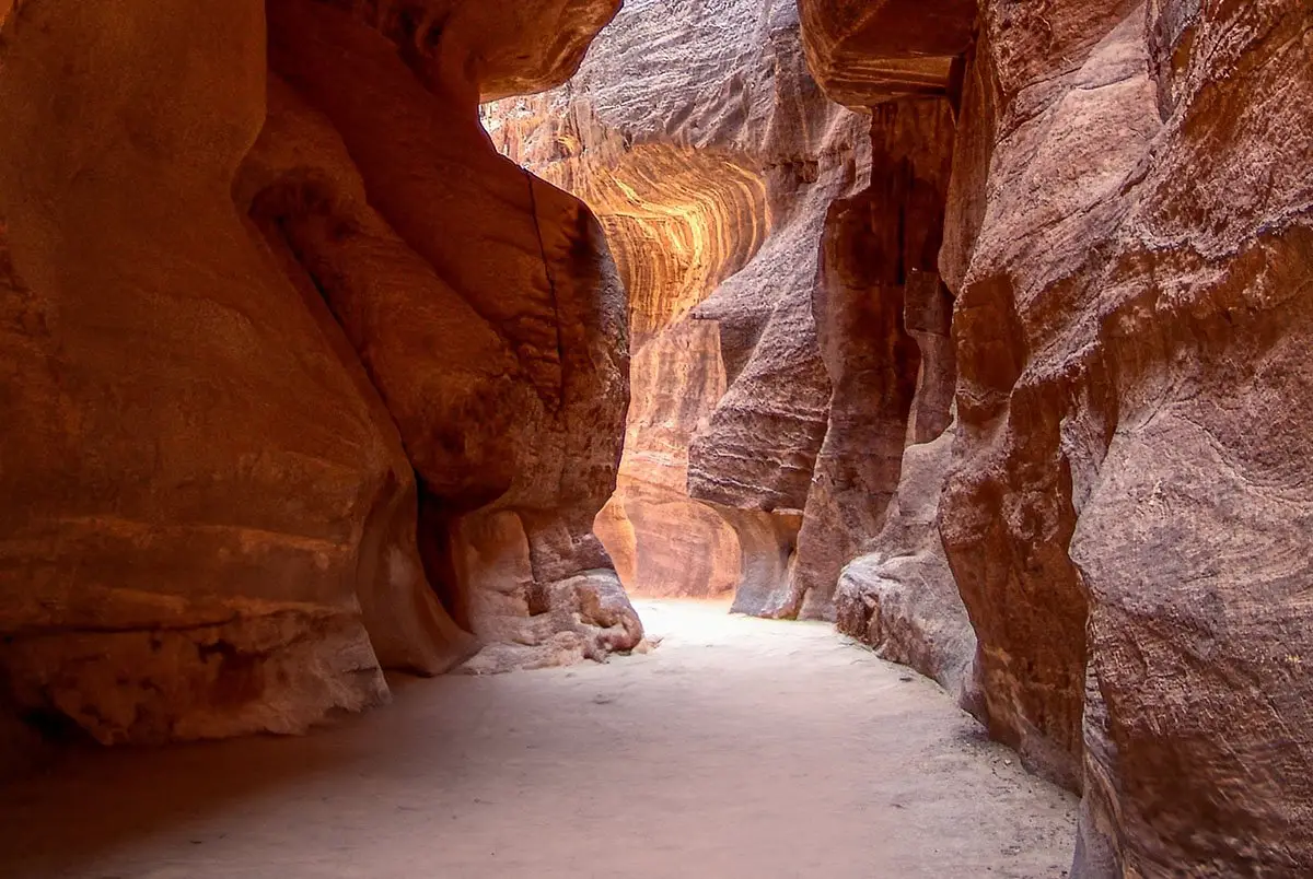
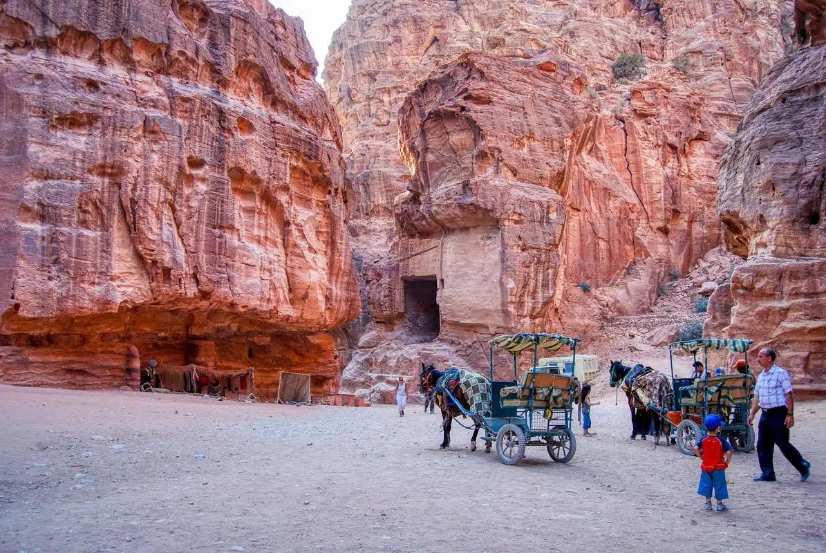


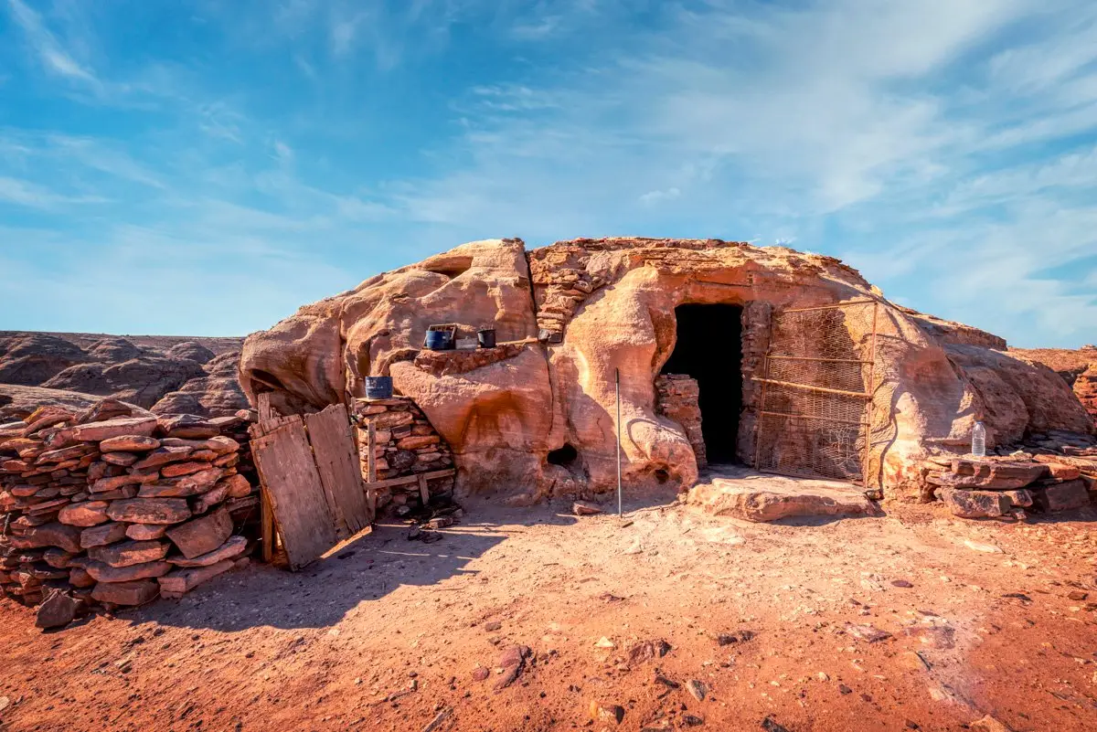

Plan your visit
More from Petra
Walk-throughs, panoramas and stories about this site.
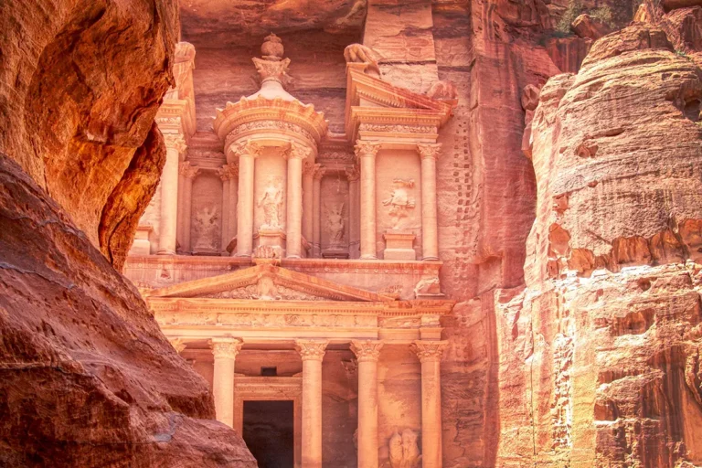 Travel guidePetra
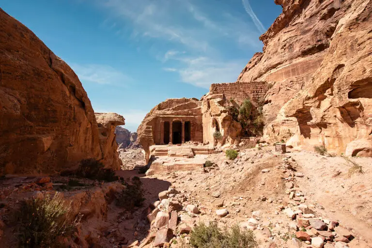 360°360° panorama360° View of the Garden Temple in Petra
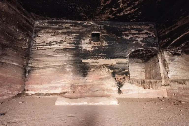 360°360° panoramaTomb of the Roman Soldier, Petra: 360° Panorama
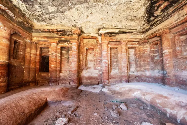 360°360° panorama360° Interior of the Coloured Triclinium, Petra
 Site profilePetra
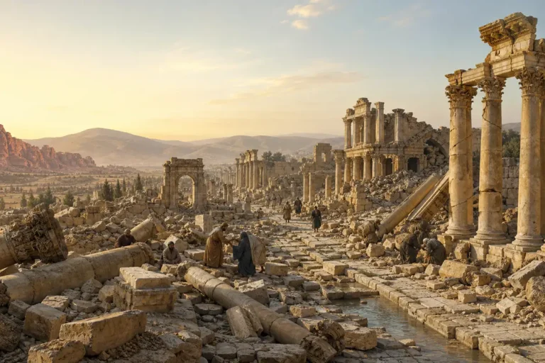 Travel articleJordan’s Great Ancient Earthquakes: 363, 551, and 749 AD
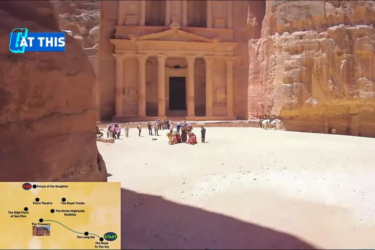 VideoPetra: Full Cinematic Tour of a World Wonder
 Travel articleA Journey Through Jordan: Moments That Stayed with Me Forever
 19 photosA Photographic Tour of Jesus Cave and Its SurroundingsNorth & Jordan Valley
 38 photosQasr Mshash: An Umayyad Caravan Halt in PhotosEastern Desert
 34 photosUnearthing History: The Byzantine Ruins of Deir El-KattarKarak & King’s Highway
 31 photosWadi Rum: Mountains and Red Sand in PhotosWadi Rum & Aqaba