

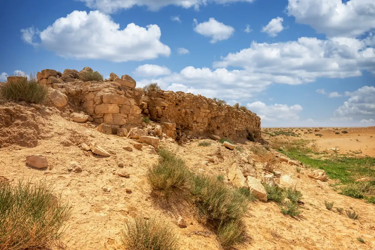
A caravan halt and its water works, hidden in the steppe
A desert settlement that lived on every drop of winter rain.
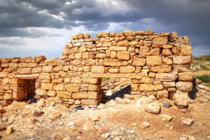
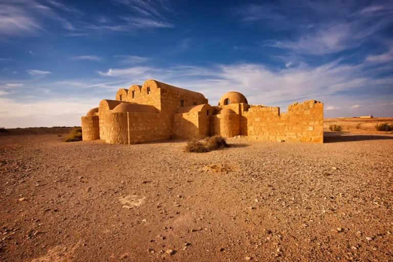
Qasr Mshash is the least visited of the desert castles near Amman, and the easiest to miss: its low ruins sit on the edge of Wadi Mshash and blend into the stony steppe. What survives is not a palace but a working settlement, spread over about 2 × 2 km, with a small square qasr, a bath, houses, reservoirs, cisterns and dams.
Most of what you see is Umayyad, of the 7th–8th centuries AD, built on top of a small Roman-period post. Archaeologists think the western part served caravans on the route from Amman to the Wadi Sirhan, and probably the Umayyad postal service too. Come for the quiet, the open landscape and a rare look at how people stored water in a land of under 100 mm of rain a year.
A small qasr, a bath and the reservoirs that kept them going
There is no permanent water at Mshash. Everything depended on winter rain, caught in reservoirs and cisterns and held back by dams, and on groundwater. Look for the water works as much as the walls.
 01 / 05
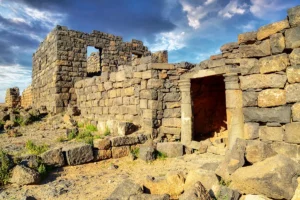
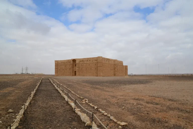
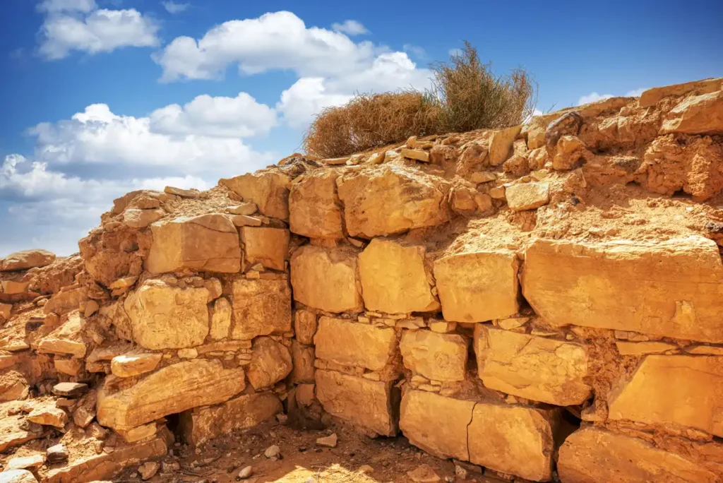
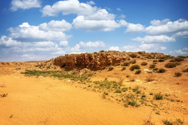
A square building of about 26 m a side, with 14 rooms around a courtyard and no towers. It began as a Roman-period post and was rebuilt in Umayyad times.
The roughly dressed limestone blocks of its walls.
Five stops in the western part of the site: the qasr, the bath, the reservoir, the cisterns and the wadi. Pick a stop to see what to look for.
1 / 10The qasr is a square of about 26 m a side, built of roughly dressed limestone and plastered inside. Fourteen rooms surround a courtyard of about 13 × 13 m, and stone slabs paved the floor near the entrance on the east side. It had no towers and was probably a single storey.
Pottery shows that it began as a Roman-period post, perhaps a watch post of the 2nd–4th centuries AD, and was rebuilt or renovated in the Early Islamic period.
A one-line Early Islamic graffito, written in the style of a building inscription, is scratched into the south wall of the entrance. It names no builder and gives no date, so the qasr cannot be tied to a particular caliph.
No inscriptions or coins date the site. Radiocarbon dates from the mortar show that most buildings are Umayyad (AD 661–750).
 1 / 8
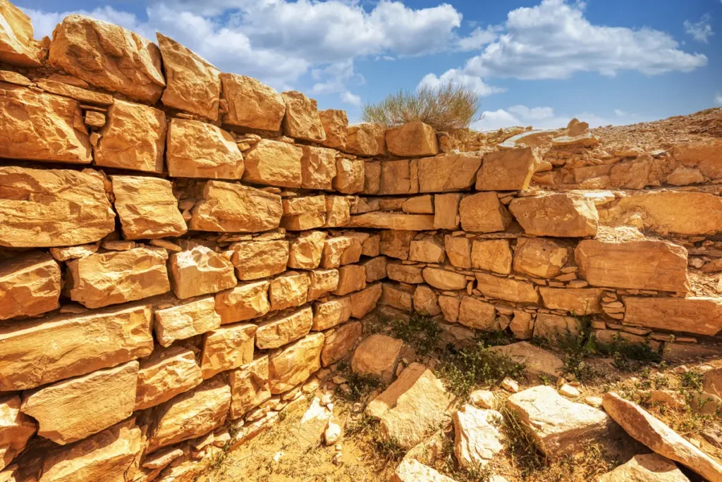
The bath stands at the centre of the western settlement, between the reservoir and a large courtyard building of about 40 × 40 m, which may have been a caravanserai. It was excavated in 1982–83, when it still had its hot room.
The finds were surprisingly fine: marble wall panels, some painted, small stucco window frames set with glass, a glass rosette and a lead water pipe.
The hot room uncovered in 1983 has since been completely destroyed. Years of illegal digging have damaged much of Mshash: in 2014 a machine cut a pit at a corner of the qasr, and in 2015 a room was destroyed.
Please stay on the paths you find, and don’t move or take anything.
 1 / 8
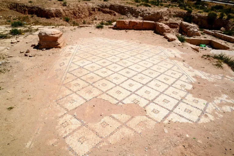
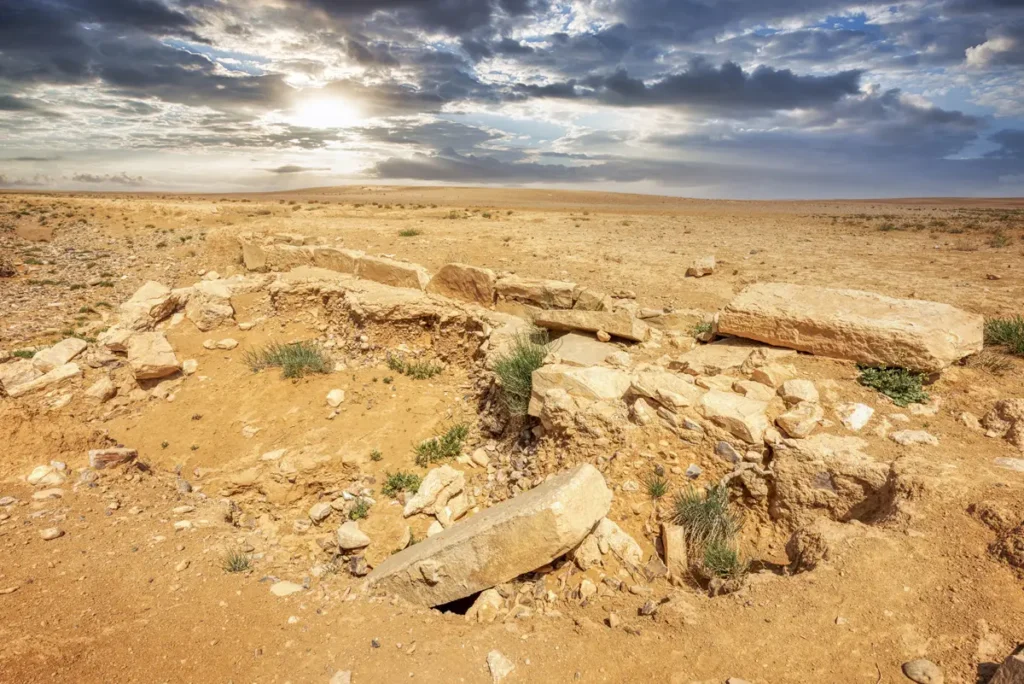
West of the bath is a rectangular reservoir of about 18 × 7 m, lined with plaster. Larger reservoirs nearby held roughly 1,000 and 2,000 cubic metres. They filled from the winter run-off and supplied the bath, the houses and travellers’ animals.
The ground slopes gently towards the wadi, and the builders used that slope to lead water into the tanks.
From 2011 to 2017 the German Archaeological Institute and the Department of Antiquities studied the site. They surveyed every site within 10 km, made a digital plan and 3D model, ran geophysics and took radiocarbon samples.
The survey also found 131 prehistoric sites around Mshash, including an Early Neolithic village of about 8800–8400 BC.
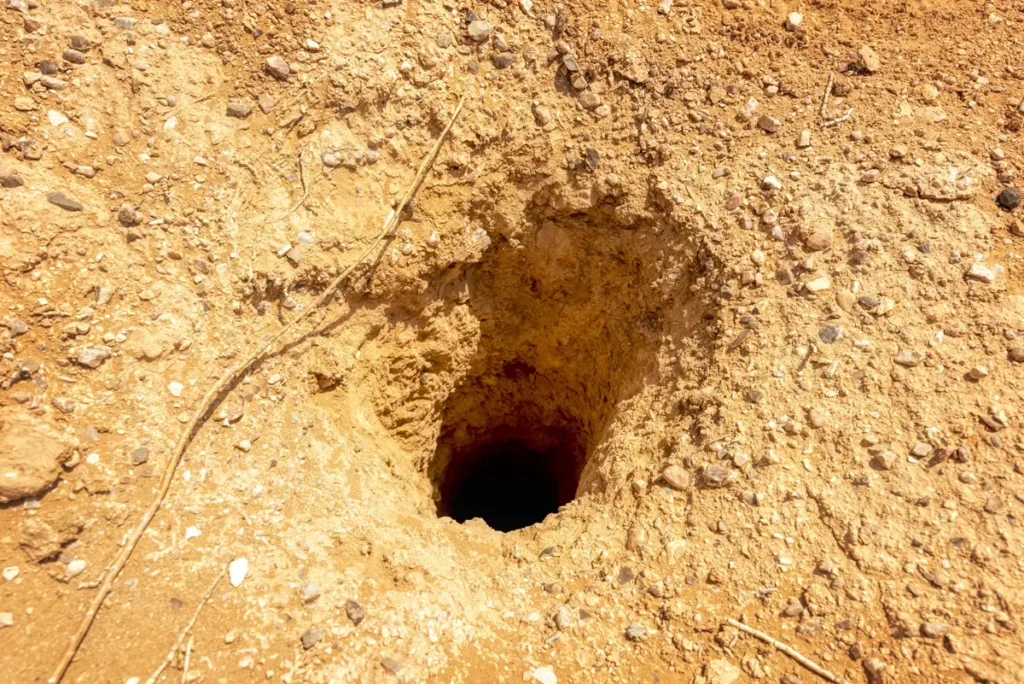 1 / 2
Cisterns were cut into the rock to store water out of the sun. Their narrow openings are easy to miss in the stony ground.
Watch your step: the openings are unfenced and can be deep.
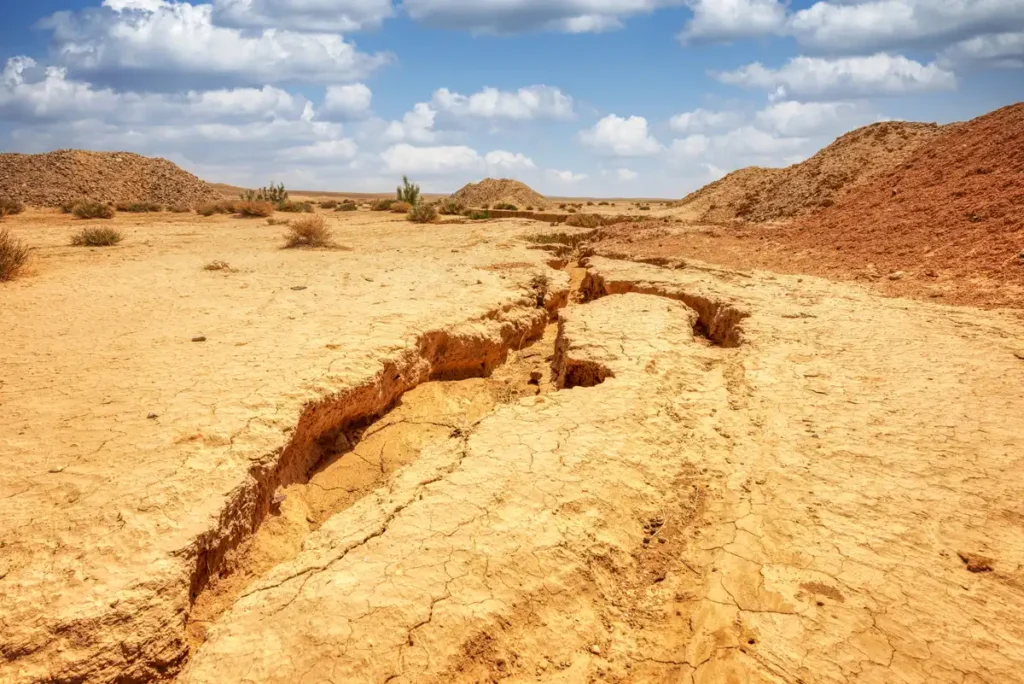 1 / 8
The settlement sits on the edge of Wadi Mshash. Walls across the wadi bed are probably dams, which held back the winter floods and suggest that the site was also a farming estate.
A second group of buildings, Mshash East, lies about 1.5 km away beyond a ridge, with a small square building, houses, cisterns and more dams.
Mshash began as a small Roman-period post and grew into an Umayyad settlement in the 7th–8th centuries AD, probably a caravan halt and farming estate. Why it was abandoned in the 8th century is still an open question.
 ProfileQasr Mshash: the full storyHistory, architecture, the water system and the timeline. About 3 min read.Read the profile →
Qasr Mshash lies off Highway 40 between Amman and Azraq, reached by an unmarked track across the steppe. You need a 4x4 and a driver who knows the way.
Opening hours and prices checked October 2026. Spotted a change? Let us know
What you’ll find at Qasr Mshash
Not on site: visitor centre, ticket office, toilets, museum, guide available, food & drinks, hotels, market / shop · Access: 4x4 needed
Spring and autumn are best. After winter rain the track can be muddy, and in summer there is no shade at all.
Services are limited out in the desert.
Quick answers before you set off.
Yes. The site is reached by a rough track off Highway 40, and a driver who knows the way is essential.
No. The site is unstaffed and free to visit.
No. It was a working settlement with a small qasr, a bath, houses and water works, probably a caravan halt and farming estate. No ruler’s residence has been found.
Nobody knows. No dated inscription or coin has been found. The qasr began as a Roman-period post, and most of the buildings are Umayyad, of the 7th–8th centuries AD.
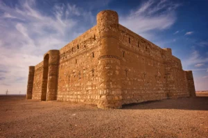
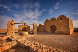
Yes. Qasr Al-Muwaqqar and Qasr Kharana are both close, and Qasr Amra is a little further east on Highway 40.
Comfortable, closed shoes for uneven ground, and light clothing that covers your shoulders and knees, which is respectful in rural Jordan and protects you from the sun.
Mshash lies between Amman and the castles of the Eastern Desert. Drive times are from Qasr Mshash and include the track.
Mshash isn’t part of our tours. To see the desert castles nearby, including Qasr Kharana and Qasr Amra, join our Best of Desert Castles day tour from Amman.