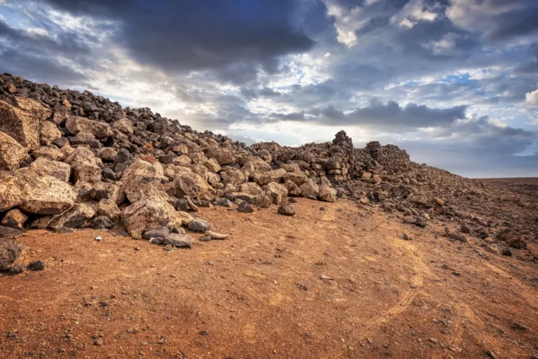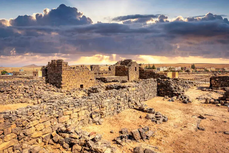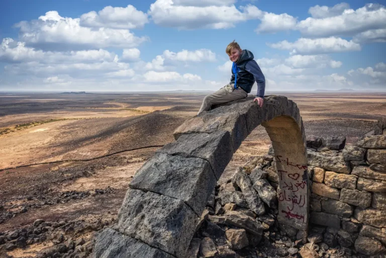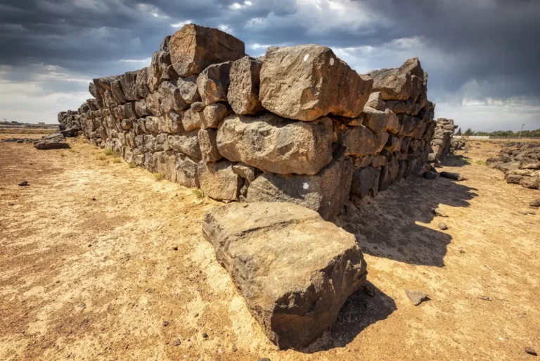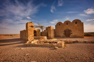
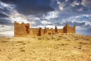
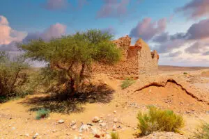
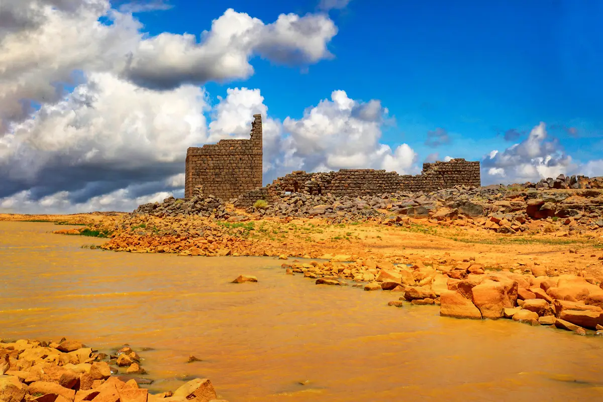
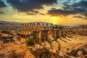
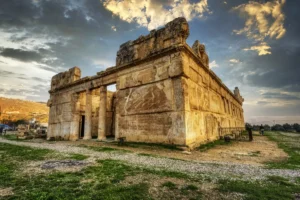
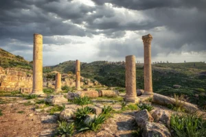
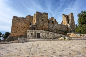

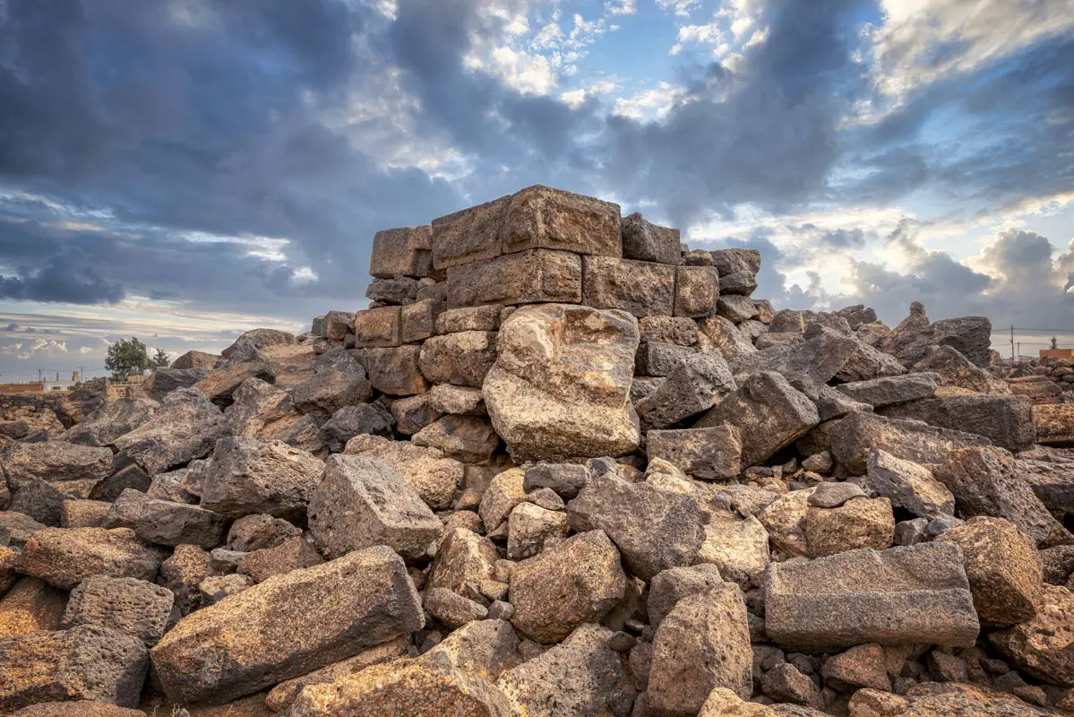
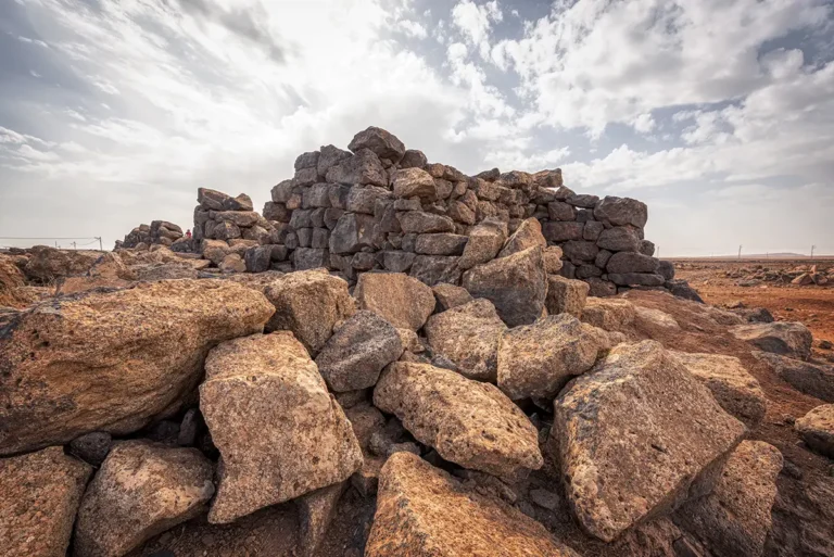

On a plateau of black basalt close to the Syrian border, the walls of a small Roman fort enclose a single stone tower. Deir al-Kinn — known to archaeologists as Deir el-Qinn — guarded a desert road between the Hauran and the oasis of Azraq.
Where Is Qasr Deir Al-Kinn?
The site lies in Mafraq Governorate, about 2.2 km from the Syrian border, at some 1,150 m above sea level, on the south-eastern edge of the Hauran basalt region. A modern village of the same name has grown over part of the fort. It stands on the military road that ran from Qasr al-Azraq north into Syria, about 11 km from Qasr Deir al-Kahf.
Historical Context and Origin
Pottery from the site ranges from the 1st to the 4th century AD and includes Nabataean wares. Scholars disagree on the date of the buildings: the tower may be Severan (around AD 200), and the fort may belong to the Tetrarchy (293–311). The site seems to have been abandoned by the 4th century.
Architectural Design
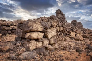
The fort measures about 73 × 56 m, with walls about 1 m thick and barrack rooms of about 5 × 6 m lining the inner walls. In the courtyard, on an outcrop of basalt, stands a more finely built tower about 7.3 m square. Outside the walls are a reservoir of about 55 × 34 m, cisterns, and the remains of what was probably a civilian settlement.
Roman Fort
A walled enclosure of about 73 × 56 m with barrack rooms along the walls.
Inner Tower
A finely built tower, 7.3 m square, on a basalt outcrop inside the fort.
Great Reservoir
A reservoir of about 55 × 34 m and cisterns outside the walls.
Monastic Reuse?
A stone carved with a cross hints that monks later used the tower.
A Monastery?
Some scholars have suggested that monks later lived in the tower: in 1980 a stone carved with a cross was found here. The evidence is slight, and the site is best described as a Roman fort that may have been reused. A six-line Greek inscription found in 1950 cannot be read.
Destruction, Rediscovery, and Restoration
The fort was visited by Aurel Stein in 1939, by F. V. Winnett in 1950, by Geraldine King in 1980 and by the Southern Hauran Survey of David Kennedy and Henry MacAdam in 1985. It has never been excavated, and stone robbing after the Second World War damaged it.
Visiting Qasr Deir Al-Kinn Today
The site is open, with no restrictions on visiting. Combine it with Qasr Deir al-Kahf. Our 360° panorama shows what to expect.
Further reading: ADAJ 26 (1982), survey report; Jawa excavation publication, p. 179; Kennedy, MacAdam & Riley, Southern Hauran Survey, ADAJ 30 (1986).