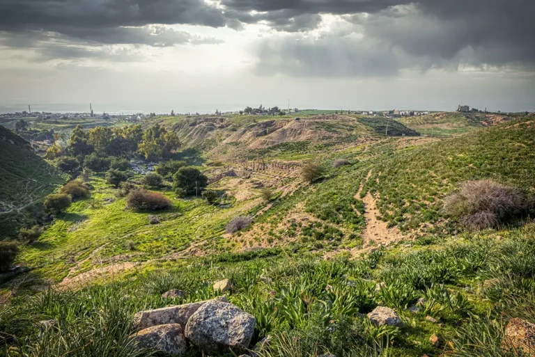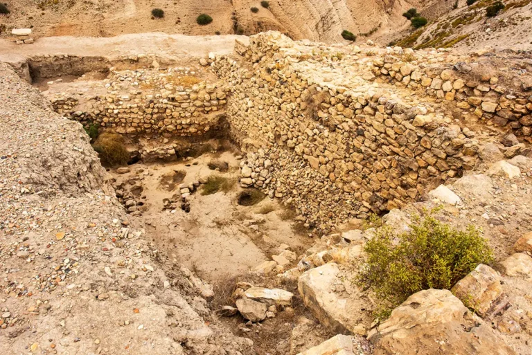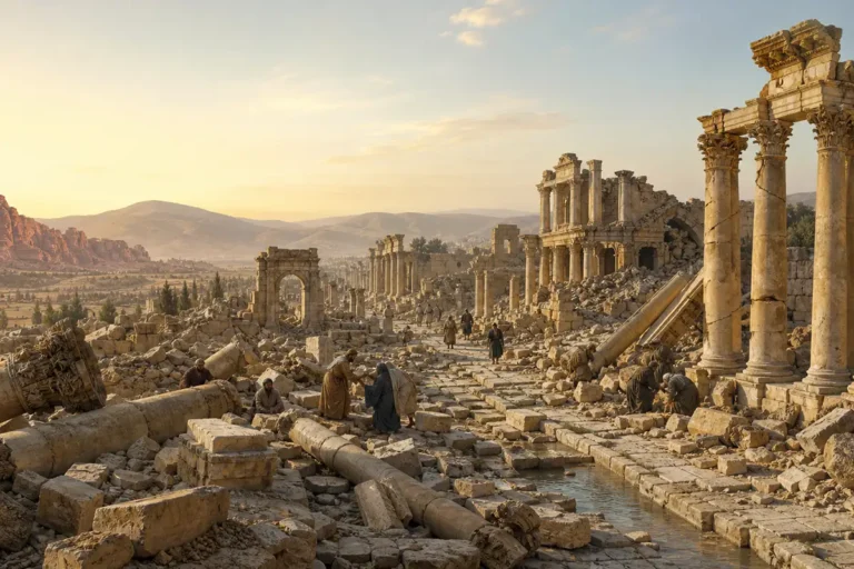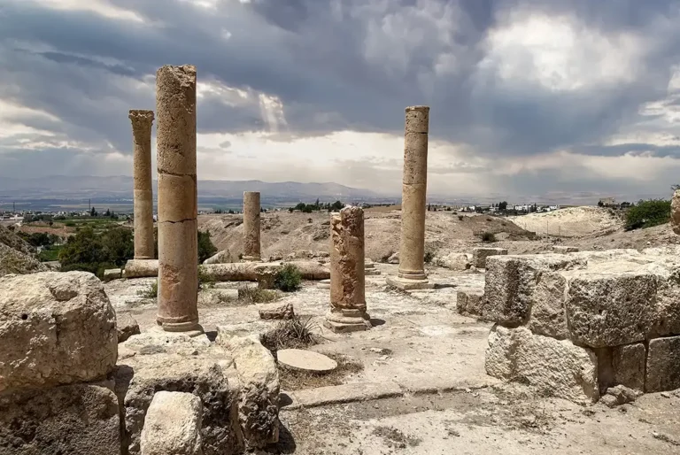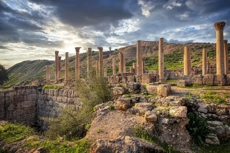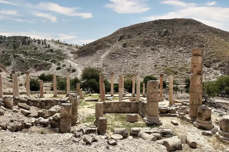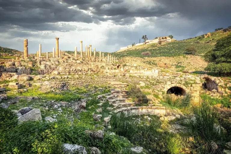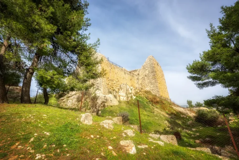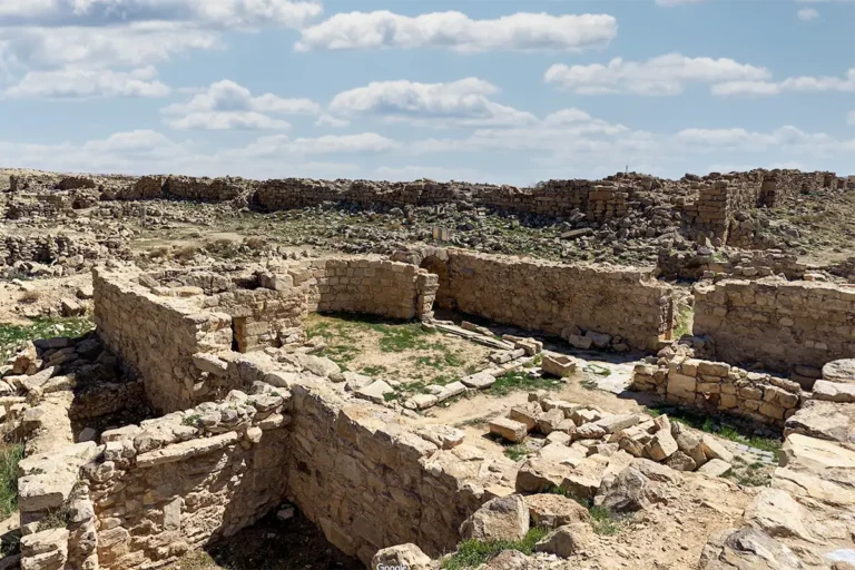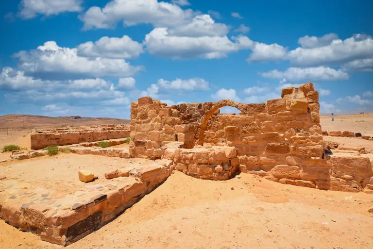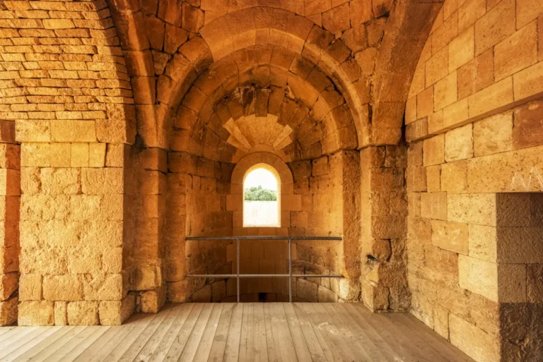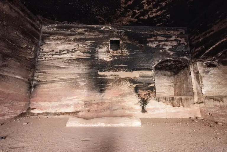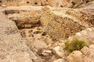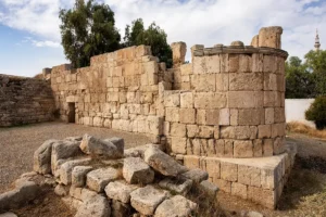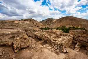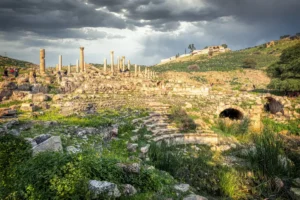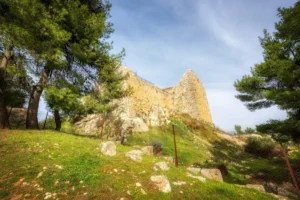
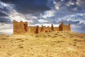
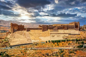

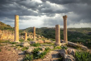
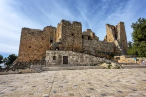
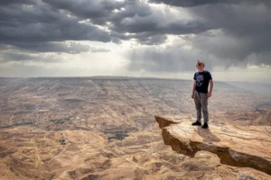


Experience Tell al-Husn, the hill south of Pella’s main mound, in an immersive 360° panorama. From the summit, views open across the Jordan Valley, the excavated ruins below and the surrounding hills. The earliest occupation identified on the hill’s eastern summit dates to the Late Chalcolithic period, around 4200 BCE. Bronze Age communities later built terraces, buildings and fortifications there, followed by Hellenistic and Roman buildings and, finally, a Byzantine fortress. These were separate phases of settlement, divided by rebuilding and destruction, rather than a single fortress in continuous use. Pella itself was settled as early as the Neolithic, but that evidence comes from elsewhere around the site, not from this hill.
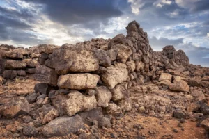
Rotating through the panorama, you can make out the walls, terraces and foundations of the summit area. Looking down toward the valley floor, landmarks such as the Roman Odeon, the Byzantine churches and the Civic Complex become visible, showing how the city of Pella spread across the valley and its two hills. For the detail behind each phase, read the full profile of Tell al-Husn.