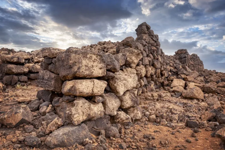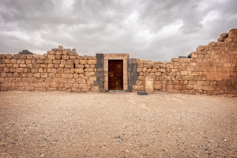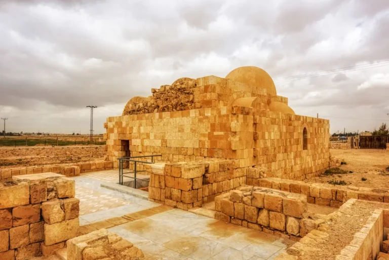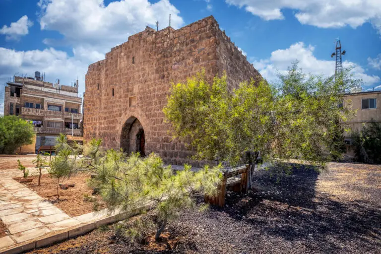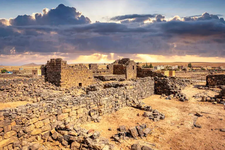

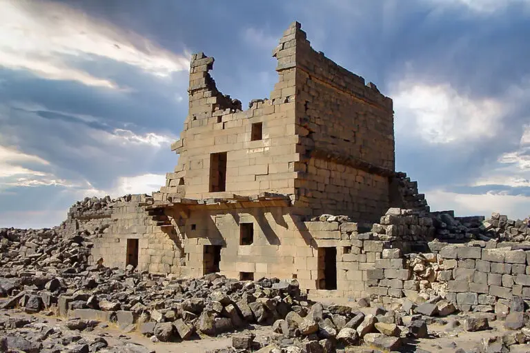

Built almost entirely of black basalt, Umm el-Jimal is one of the best-preserved ancient rural towns in the Middle East. For eight centuries farmers, soldiers and traders lived here — in Nabataean, Roman, Byzantine and early Islamic times — and many of their houses, churches and reservoirs still stand to roof height. In 2024 it became Jordan’s seventh UNESCO World Heritage Site.
Where Is Umm el-Jimal?
The town lies on the basalt plain of the Hauran in northern Jordan, about 86 km north of Amman and east of Mafraq, close to the Syrian border. The black stone of the region gave the site its look — and its nickname, the “black oasis”.
Historical Context and Origin
The town began in the 1st century AD under Nabataean influence from Bostra, and its water-harvesting system started then. Around AD 180 the Roman authorities built a wall, a gate, a large reservoir and the building known as the Praetorium, and a military fort followed in the 4th century. The town flourished in the 5th and 6th centuries, with perhaps 6,000–8,000 people and 15 or 16 churches. Life continued under the Umayyads, but the earthquake of AD 749 hastened its decline and it was gradually abandoned. In the early 20th century Druze settlers briefly reoccupied the houses.
Architectural Design
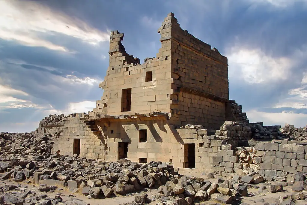
With no timber to hand, the builders roofed their rooms with basalt: long stone slabs rest on corbels projecting from the walls, held in place by the weight of the courses above, while arches carry the larger halls. Houses rose up to three storeys around courtyards, with stone stairs cantilevered from the walls and stables on the ground floor. More than 150 buildings still stand, including the six-storey tower of the barracks.
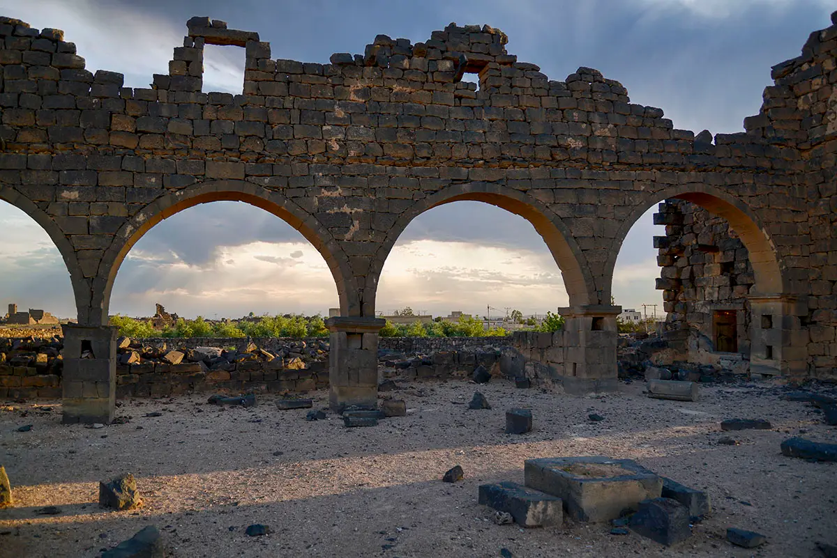
Corbelled Roofs
Basalt slabs rest on projecting corbels and arches — a way of roofing without timber in a treeless land.
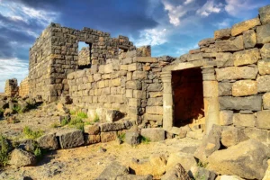
Houses up to Three Storeys
Courtyard houses with cantilevered stone stairs and stables with basalt mangers on the ground floor.
The Barracks Tower
A six-storey tower of the Roman barracks, later used as a monastery.
Water Harvesting
Channels from a nearby wadi fed reservoirs, some made from old basalt quarry pits.
Inscriptions in Five Languages
Umm el-Jimal has yielded inscriptions in Greek, Nabataean, Safaitic, Latin and Arabic. Among them is a Latin dedication to Marcus Aurelius and Commodus from the town gate of around AD 177–180, and a Nabataean and Greek inscription of about AD 265 honouring the teacher of Gadhima, king of the Tanukh — a rare glimpse of the Arab tribes of the region.
Rediscovery and Conservation
Princeton expeditions led by Howard Crosby Butler recorded the town in the early 1900s. Since 1972 the Umm el-Jimal Archaeological Project, founded by Bert de Vries, has surveyed, excavated and conserved its houses and water system, working with the local community. UNESCO inscribed the site in 2024 as an outstanding example of the rural life of the Hauran.
Visiting Umm el-Jimal Today
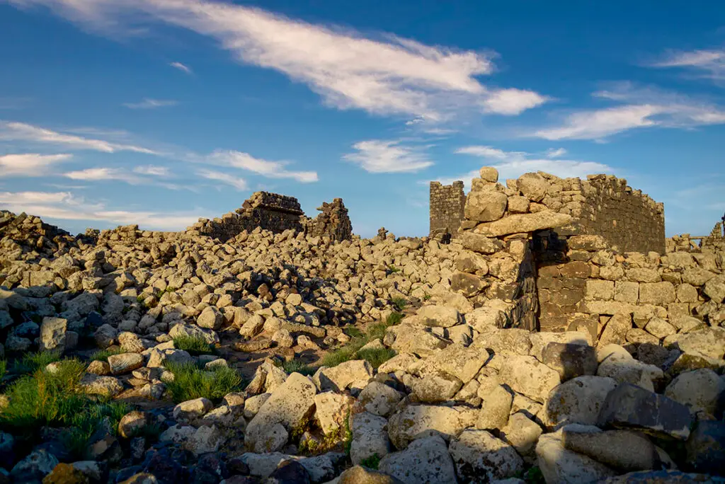
Start at the visitor centre in House 119, the one reconstructed building, then wander the lanes between the houses, the barracks and the churches. Look up at the corbelled ceilings and the stairs climbing the walls. The site is large and open; low afternoon light makes the basalt glow.
Further reading: UNESCO World Heritage: Umm Al-Jimal, Umm el-Jimal Archaeological Project.