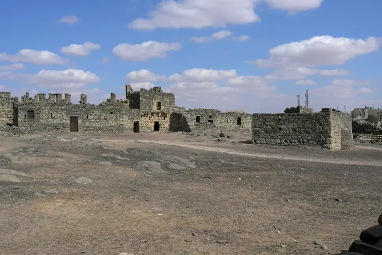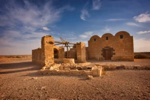
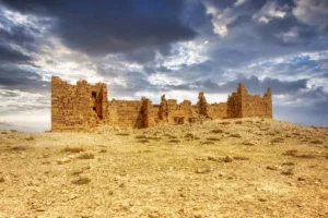
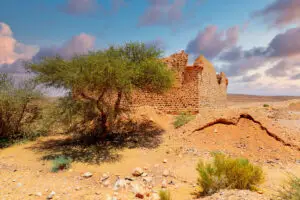
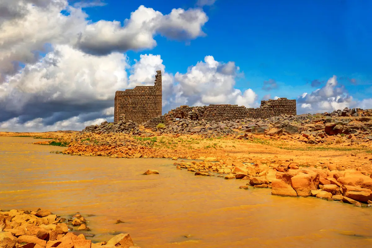
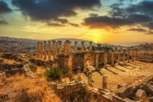
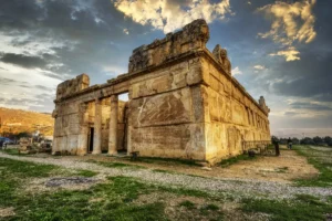
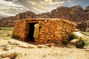
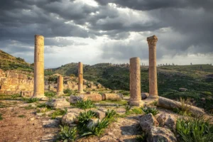
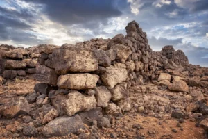
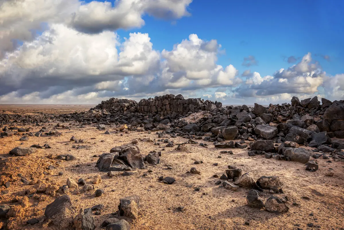


On a low basalt ridge south-west of Azraq stand the tumbled black walls of Qasr Uweinid, a small Roman fort. It was one of two outposts guarding the Azraq oasis, and its building inscriptions are the earliest dated evidence for the Roman army there.
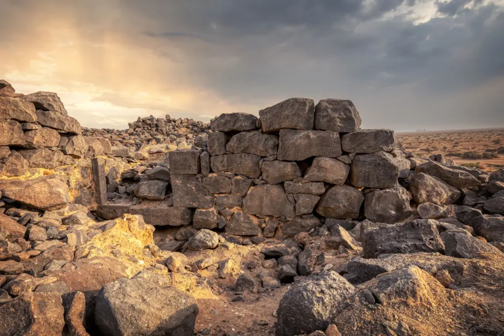
Where Is Qasr Uweinid?
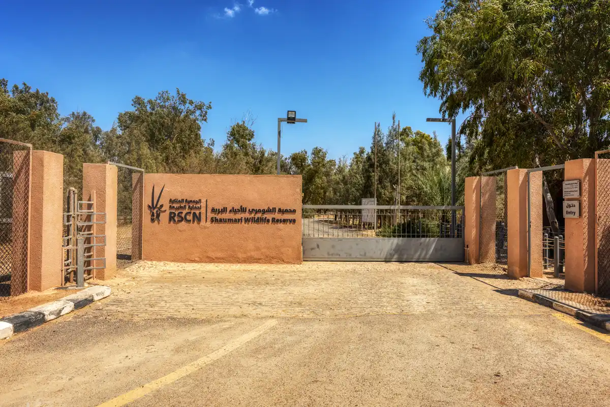
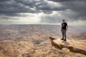
Qasr Uweinid lies about 15 km south-west of Qasr Azraq, near the Shaumari Wildlife Reserve, on the tip of a low basalt ridge above Wadi Uweinid. There are no signs; it is reached by 4×4 along tracks across the gravel plain, and visitors should stay well away from the military airbase nearby.
Historical Context and Origin
Around AD 200 the emperor Septimius Severus strengthened the frontier of the province of Arabia. At Azraq, where the Wadi al-Sirhan route from Arabia reaches the oasis, the main fort was supported by two smaller ones: Usaykhim to the north-east and Uweinid to the south-west. Building inscriptions from Uweinid name the governor of Arabia, Lucius Marius Perpetuus (c. AD 200–203), and are the earliest dated evidence for Roman troops at the oasis. A Roman road linked the fort to Azraq.
Architectural Design
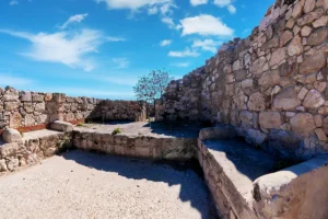
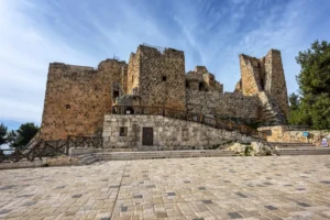
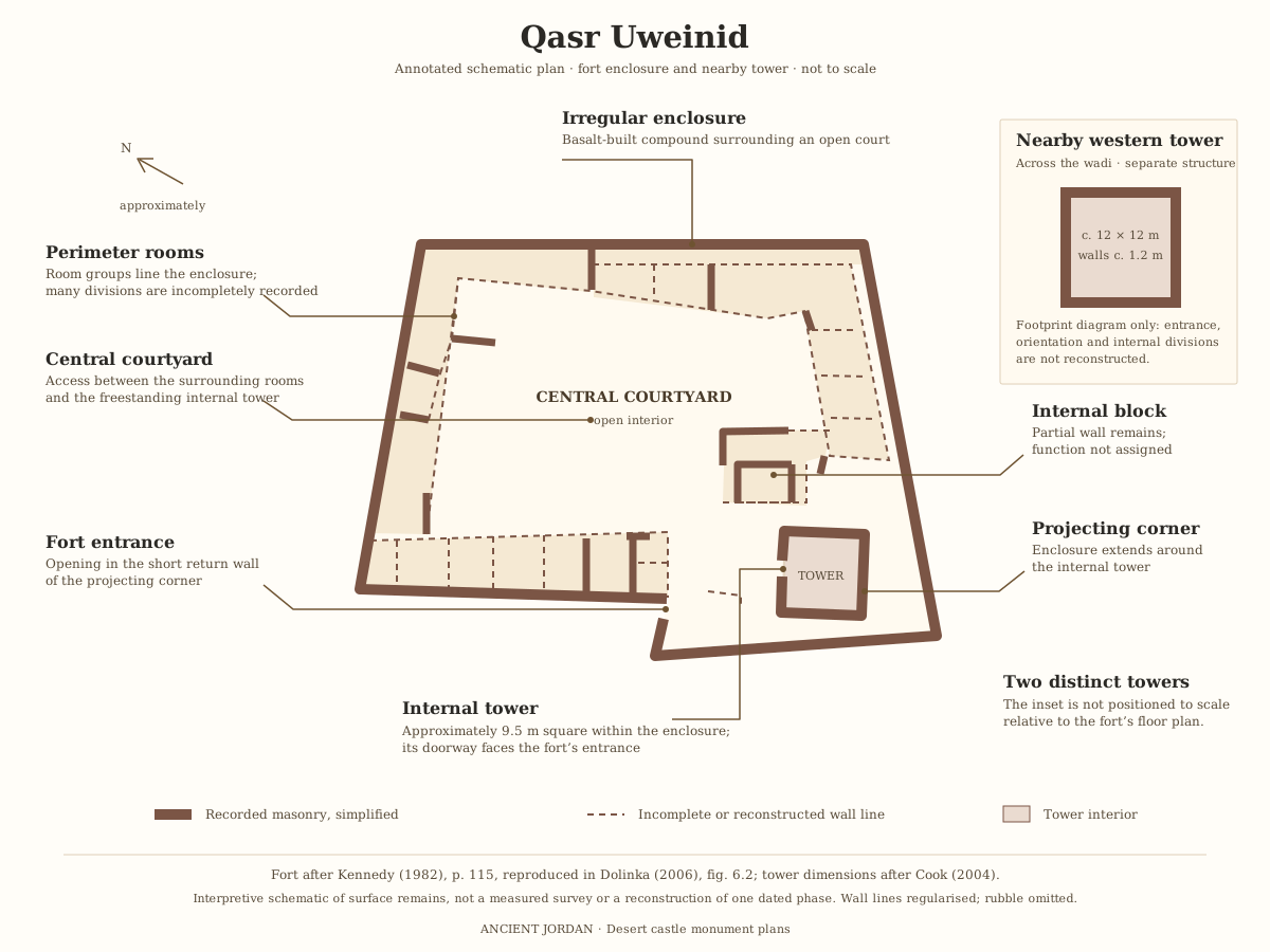
The fort is an irregular trapezoid of about 50 × 35 m, built of local basalt. Rooms were set against the inside of the outer walls around a central courtyard, and nothing rose above one storey except a tower at the south-west corner, next to a small entrance. Only parts of the curtain wall still stand.
Severan Date
Building inscriptions of about AD 200 name the governor of Arabia.
Basalt Walls
Walls of local black basalt on a low ridge above Wadi Uweinid.
Corner Tower
A tower and small entrance at the south-west corner.
Desert Views
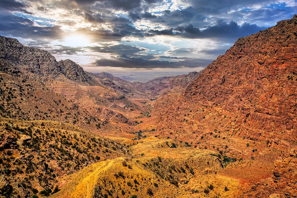
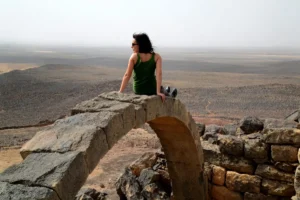
Wide views over the gravel plain and the wadi.
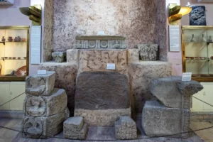
The Severan building dedication
The inscription is known as the Severan building dedication from Qasr Uweinid, catalogued as HD004660 / AE 2001, 1977. Its opening is comparatively clear, but the damaged final lines have several competing readings. A complete translation therefore depends partly on scholarly restoration.
Pro salute et incolumitate domi-
norum nn. Impp. Augg. L. Septimi Se-
veri Pii Pertinacis et M. Aureli An-
[[tonini et]] P. [[Septimi Getae Caes(aris) per L.]] M[arium?]
Perpetu[um leg(atum) Augg. pro pr(aetore) caste]llum no-
v{u}m Severianum a[[edificaverunt? vex(illationis) leg(ionis) III Cyr?]]
“For the health and safety of our lords, the emperors and Augusti Lucius Septimius Severus Pius Pertinax and Marcus Aurelius Antoninus, and Publius Septimius Geta, Caesar; through Lucius Marius Perpetuus, imperial governor, [a detachment of the Third Cyrenaican Legion?] built the new Severan fort.”
The Latin text is Kennedy’s proposed reading, rather than a transcription of only the surviving letters.
The governor’s name, administrative clause and identification of the builders depend on restorations. The reference to Legio III Cyrenaica should not be presented as securely preserved in this dedication. Christol and Lenoir accepted the general interpretation but declined to reconstruct the complete ending; they also preferred Marius Perpetuus as the grammatical subject. [Christol and Lenoir, 2001, p. 165, note 12](https://www.persee.fr/doc/syria_0039-7946_2001_num_78_1_7696)
Some explanations help place it in context:
The imperial names identify the dynasty. Marcus Aurelius Antoninus is the emperor commonly called Caracalla. Geta was his younger brother. Pius and Pertinax form part of Septimius Severus’s official titulature.
“For the health and safety” expresses loyalty to the imperial household. It is a conventional dedication formula, not evidence that the emperors visited Uweinid.
“New Severan fort” describes the building work. Castellum means a small fort; Severianum associates it with Severus. Kennedy’s identification of the governor L. Marius Perpetuus supported a narrower date around AD 200–202, within the broader AD 198–211 range. [Kennedy’s discussion](https://www.scribd.com/document/577722877/12-Hanson-W-S-and-Keppie-L-J-F-1980-Roman-Frontier-Studies-1979-Vol-III)
Geta’s erased name reflects later imperial politics. His name was removed following his murder in AD 211, as part of the suppression of his public memory. The stone was found near the fort entrance in 1976, but possible reuse means it does not securely date every surviving wall at Uweinid. [Find context and discussion](https://de.wikipedia.org/wiki/Kleinkastell_Qasr_el-Uweinid#Inschriften)
Around the Fort
A small separate tower stands near the fort, probably a lookout linked to it. Circular stone enclosures on the ridge are Bedouin livestock pens of much later date. In Wadi Uweinid below, the Azraq Basin Project excavated Stone Age (Epipalaeolithic) campsites of hunter-gatherers, a reminder that people came to this water long before Rome.
Destruction, Rediscovery, and Restoration
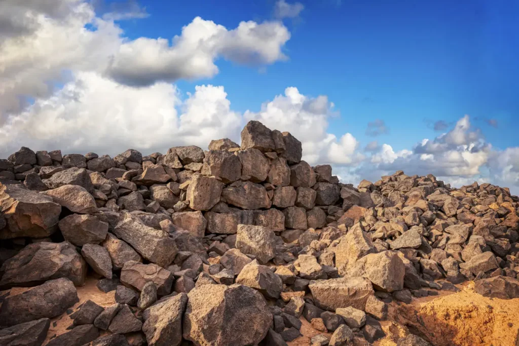
Aurel Stein photographed the Azraq forts from the air in 1938–39. David Kennedy surveyed Uweinid from 1978 and published its inscriptions and plan, and later recorded it from the air with Derrick Riley. The fort has never been excavated or restored.
Visiting Qasr Uweinid Today
Uweinid is an unfenced ruin with no facilities, and entry is free. Allow about 20 minutes on site. See our Qasr Uweinid travel guide for directions.
Further reading: Livius — Basienis (Qasr el-Azraq) and its outposts; Athena Review — Uweinid fort.