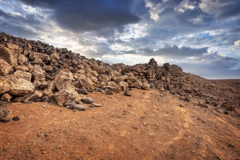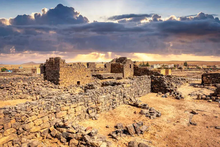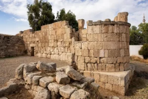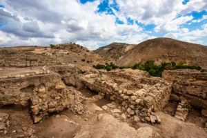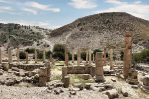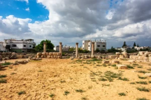
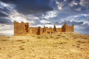
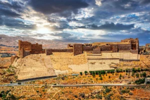
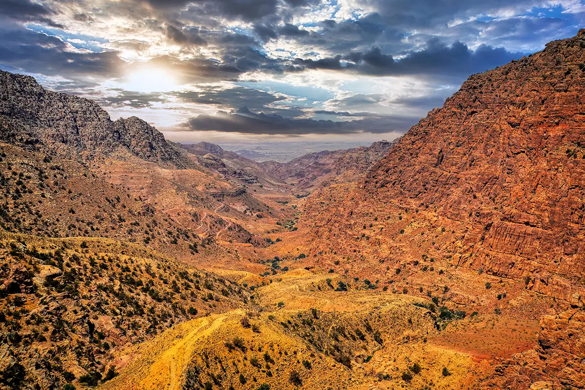
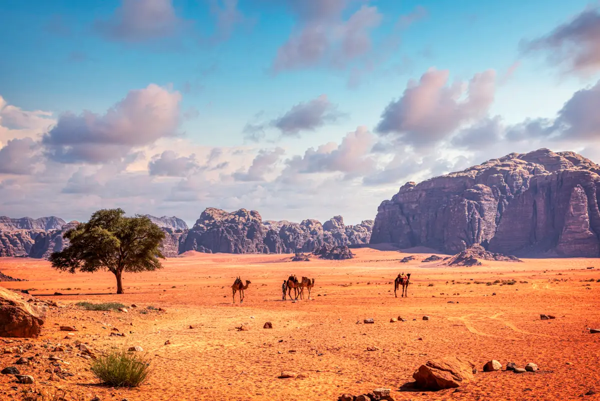
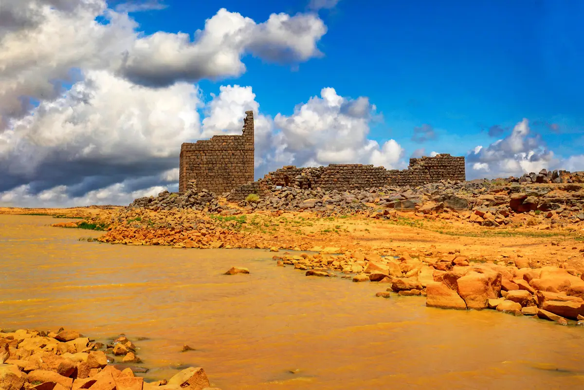
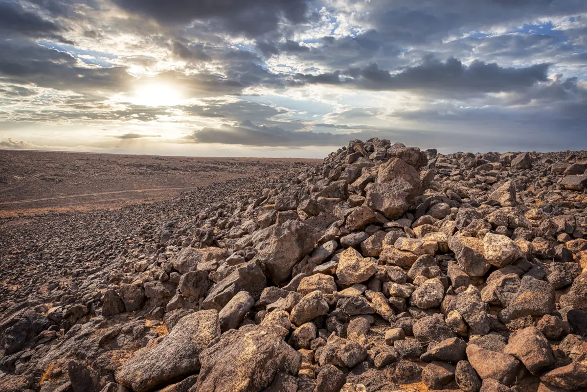


On a low hill in the black basalt desert stand the walls of Jawa, a town built around 3600 BC, more than five thousand years ago. Its people dammed the floods of Wadi Rajil and farmed terraced gardens in a landscape that today supports only herders.
Where Is Jawa?
Jawa lies in the basalt desert of Mafraq Governorate, about 25 km from Safawi and a few kilometres from the Syrian border. There is no paved road to the site: from the village of Deir al-Kinn a sign points east, and dirt tracks lead on. A 4×4 is needed, and a local guide is recommended.
Historical Context and Origin
Jawa was founded in the Late Chalcolithic or Early Bronze Age I. Radiocarbon dates place its main town at about 3640–3330 BC, with occupation ending around 3380 BC, after perhaps two or three centuries. Its builders chose the mouth of Wadi Rajil, which drains about 300 km² of the Jebel Druze and brings winter floods to a region with far too little rain for farming. Around 2000 BC a small group reoccupied the summit. Safaitic inscriptions show that nomads passed through much later.
Architectural Design
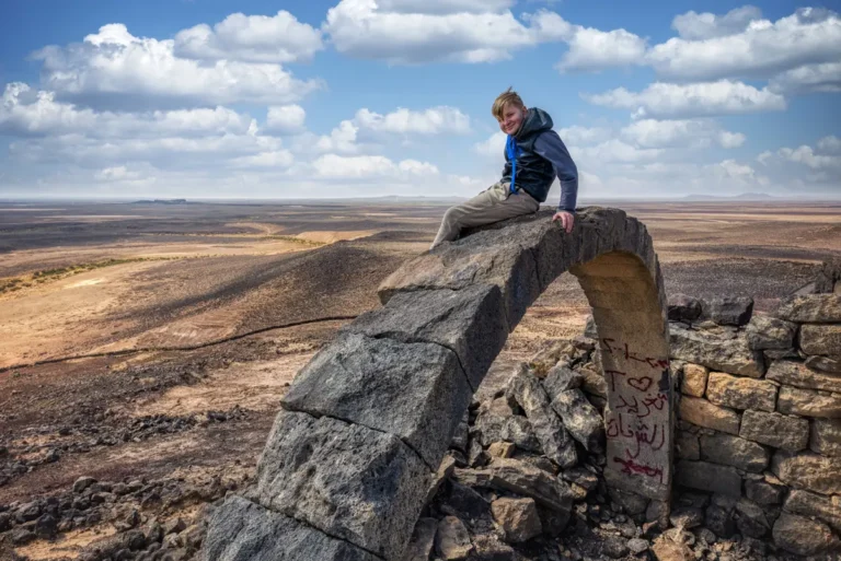
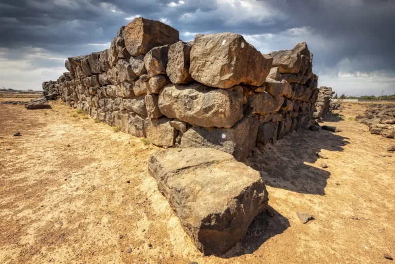
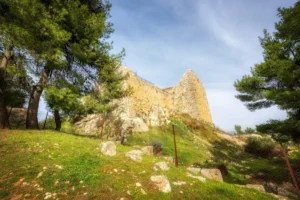
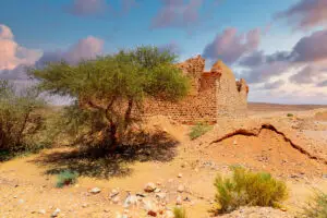
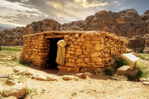
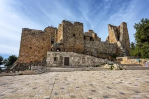
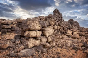
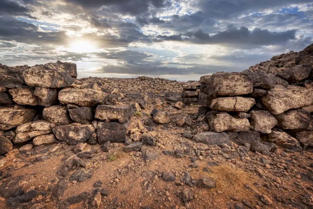
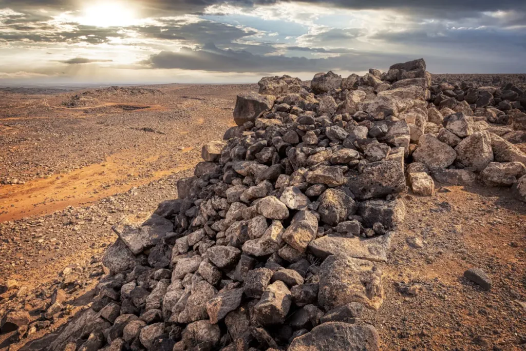
The town covers about 8.3 ha. The upper town, about 5.3 ha, is enclosed by a double-faced basalt wall up to 4 m thick and over 4 m high in places, with five main gates and smaller side gates. A walled lower town spreads over the slopes. Houses were small and rounded, built of unworked basalt with stone pillars carrying roof slabs. On the summit stands the multi-room “citadel” of about 2000 BC.
Ancient Dams
A dam on Wadi Rajil of about 3600 BC, among the oldest known.
Town Walls
Basalt walls up to 4 m thick with five main gates.
Irrigated Gardens
Some 36 ha of terraced fields watered by runoff.
Summit Citadel
A multi-room building added around 2000 BC.
The Water System of Jawa
Jawa’s builders dammed Wadi Rajil and diverted its floods through channels into pools and reservoirs west of the town. The dam has been radiocarbon dated to about 3600 BC, which makes it one of the oldest known dams in the world. Opposite the town, about 36 ha of terraced gardens were watered by runoff, the earliest known example of this kind of irrigation in south-west Asia.
Destruction, Rediscovery, and Restoration
The French pilot Antoine Poidebard spotted Jawa from the air in 1931 and took it for Roman. Svend Helms reached it in 1966 and excavated it from 1972 to 1976, publishing Jawa: Lost City of the Black Desert in 1981. Since 2010 Bernd Müller-Neuhof of the German Archaeological Institute has studied Jawa and its hinterland, finding further hillforts nearby. Looting pits and modern concrete added to the water works have damaged the site. It has never been restored.
Visiting Jawa Today
Jawa is an unfenced, free site with no facilities. Plan a full day from Amman, ideally combined with Deir al-Kinn and Umm el-Jimal, and allow about an hour to walk the upper town and the water works. See our Jawa travel guide for directions.
Further reading: Müller-Neuhof et al., Jawa radiocarbon dates (DAI, ZOrA); SHAJ 13 (2019) — Jawa and its hinterland.