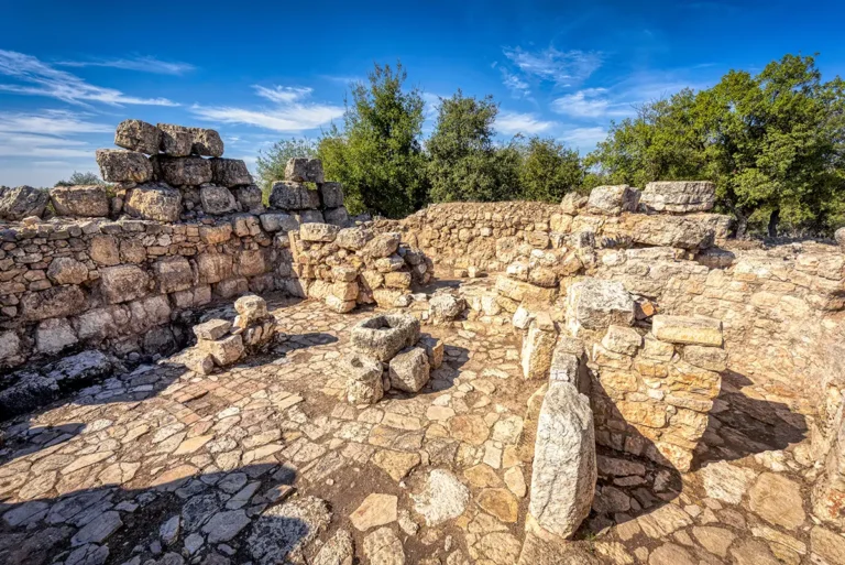
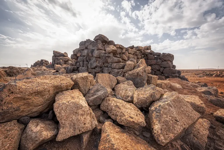
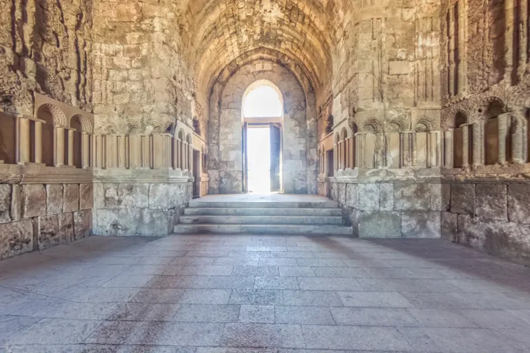
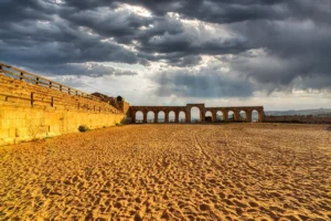
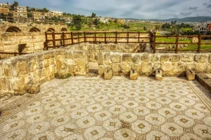
A 360 panoramic view of Tell Deir Alla immerses visitors in the expansive landscape of one of Jordan’s most significant archaeological tells, where low excavation mounds, exposed mudbrick foundations, and scattered ancient stone remains stretch across the site against the backdrop of the fertile Jordan Valley. From every angle, the panorama reveals the layered character of the settlement, with archaeological trenches and weathered ruins blending into the surrounding farmland and distant hills. The open sky and quiet atmosphere create a strong sense of timelessness, allowing viewers to imagine the thriving Bronze and Iron Age communities that once occupied this historic mound thousands of years ago.
Follow the edges of the excavation areas to distinguish exposed remains from the unexcavated mound. Their varying depths make the layered character of the site more apparent. Look closely at the low foundations before widening the view towards the farmland beyond. This comparison helps place the tell within the valley landscape. The panorama also draws attention to the fragility of earthen remains, whose forms can be less obvious than those of stone monuments. It provides a useful starting point for understanding the mound without assigning every visible surface to a particular occupation period. Use the panoramic controls to compare the details close to the viewpoint with the wider setting around them.