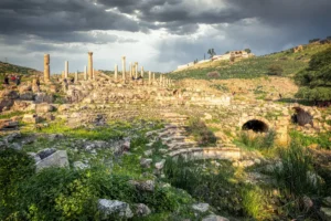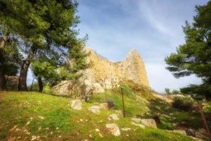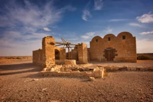






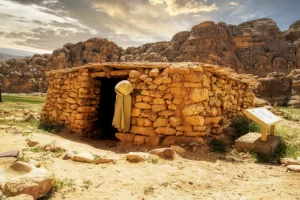
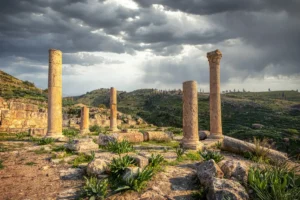
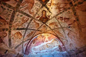
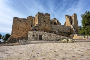
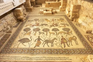


The Humayma Archaeological Site in southern Jordan is a historically significant settlement that thrived for over two millennia, serving as a key stop along the ancient Incense Route. Originally established by the Nabataeans (1st century BC), it featured advanced water management systems, including reservoirs and aqueducts. After the Roman annexation of Nabataea in AD 106, the site became a military outpost with a fort (castrum) as part of the Limes Arabicus defence network. Later, during the Byzantine era, a church with mosaic floors was built, reflecting the region’s Christian influence.
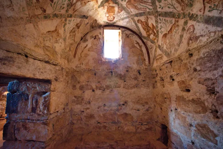
In the early Islamic period, under Umayyad rule, the family that later founded the Abbasid Caliphate lived here; their residence (qasr) and a small mosque survive. The site’s well-preserved hydraulic systems and layered ruins—spanning Nabataean, Roman, Byzantine, and Islamic periods—make it a valuable but lesser-known archaeological treasure in Jordan, offering insights into trade, military history, and cultural transitions in the region.
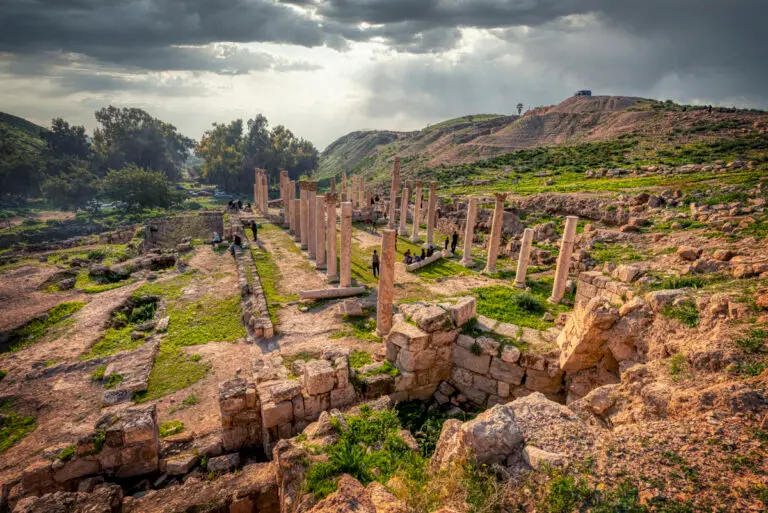
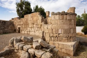
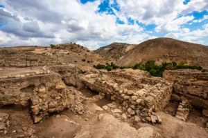
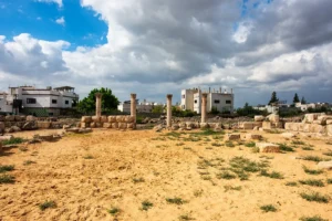
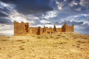
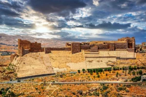
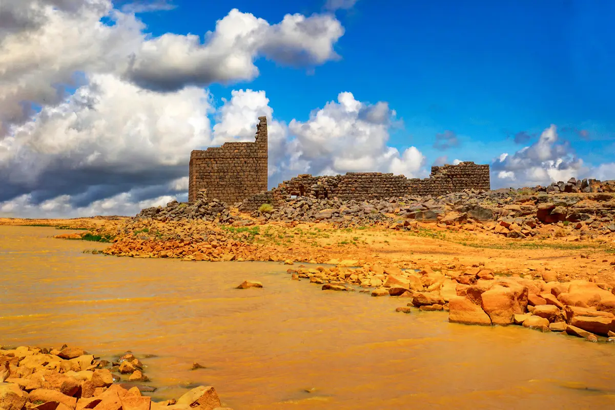
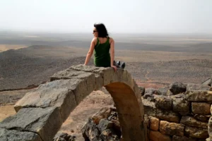
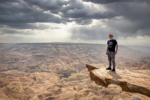
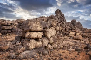
Turn across the low ruins to compare the different enclosed spaces with the open terrain between them. The broad viewpoint helps establish the settlement’s spread rather than focusing on one monument alone. Look closely at the surviving wall courses before returning to the wider landscape.