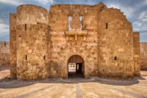
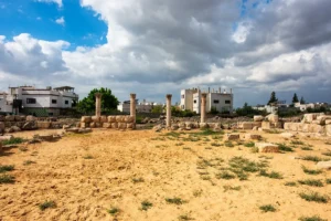
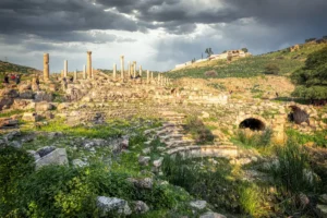
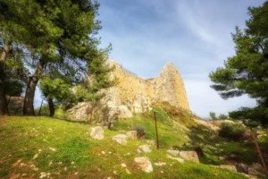
Aqaba Fort, also known as Mamluk Fort, occupies a strategic Red Sea site with older Islamic roots and was largely rebuilt in the early 16th century under the Mamluks before being adapted during Ottoman rule. It guarded Aqaba’s port, trade connections, and the pilgrimage route to Mecca, and became a landmark of modern Jordanian history when Arab Revolt forces captured Aqaba in 1917.
Stand at the centre of Aqaba Fort’s expansive gravel courtyard and take in the fortress from every direction. Weathered stone walls, low defensive structures, and arched chambers frame the open space, their warm tones contrasting with the dramatic blue-and-gold sky above. On one side, stepped masonry and a raised walkway reveal the fort’s layered construction; on the other, a long row of arched entrances opens into the historic interior. Palm trees rise beyond the walls, while Jordanian flags move above the courtyard, connecting this Mamluk-era stronghold with the living city of Aqaba today.
Follow the row of arches to compare the sheltered chambers with the open courtyard. The changing levels of the masonry help distinguish the different parts of the enclosure. Look towards the palm trees beyond the walls to place the fort within the present city.