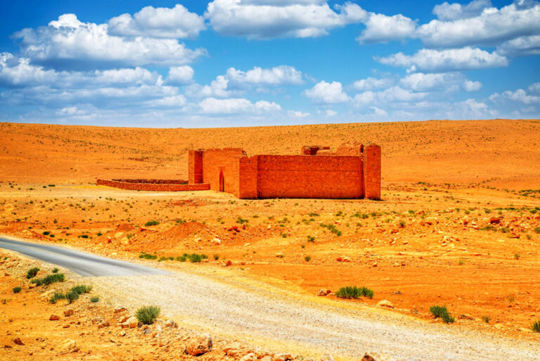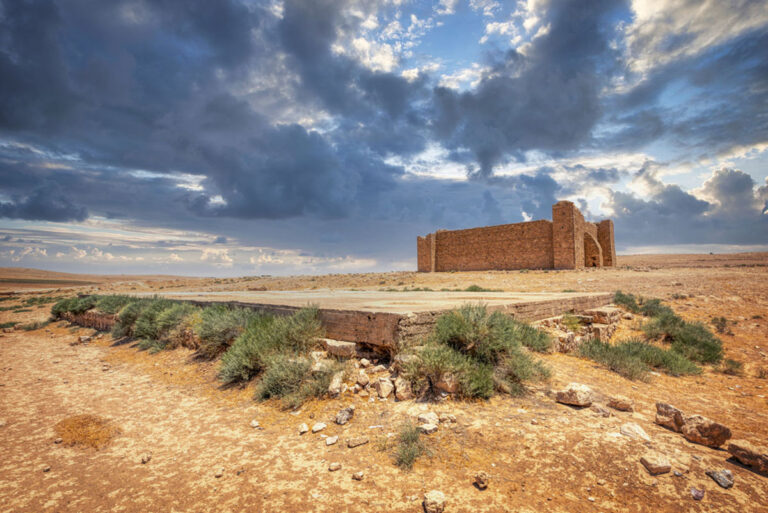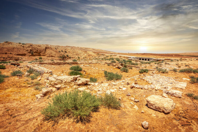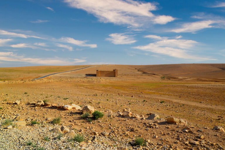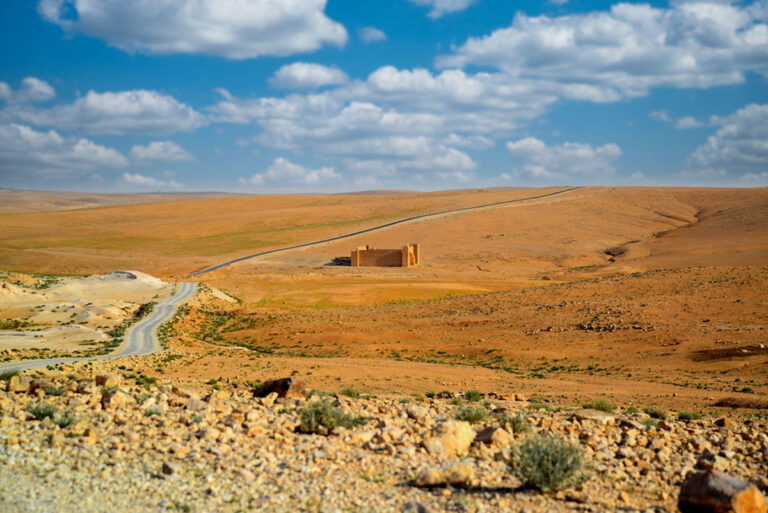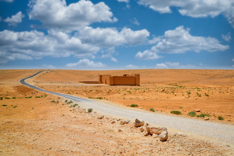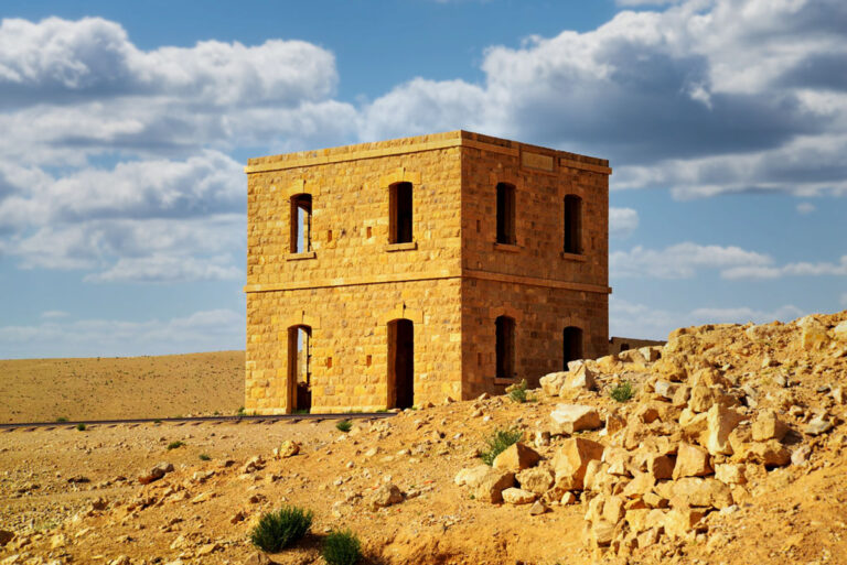
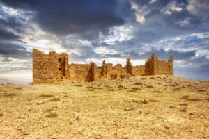
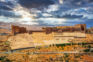

Qal‘at Dab‘a, an Ottoman-era fort east of the Medieval Hajj road in Zizia, offers a captivating glimpse into a historically significant stopping point along the pilgrimage to Mecca. Located approximately 6.5 km east of the Desert Highway and 1 km west of the Dab’a Hijaz Railway Station, this site is steeped in history and intrigue.
Architectural Features of Qal‘at Dab‘a
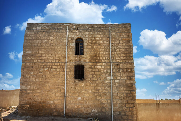
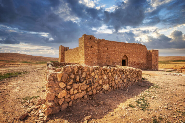
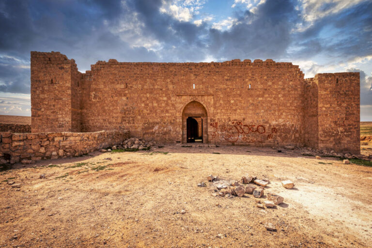
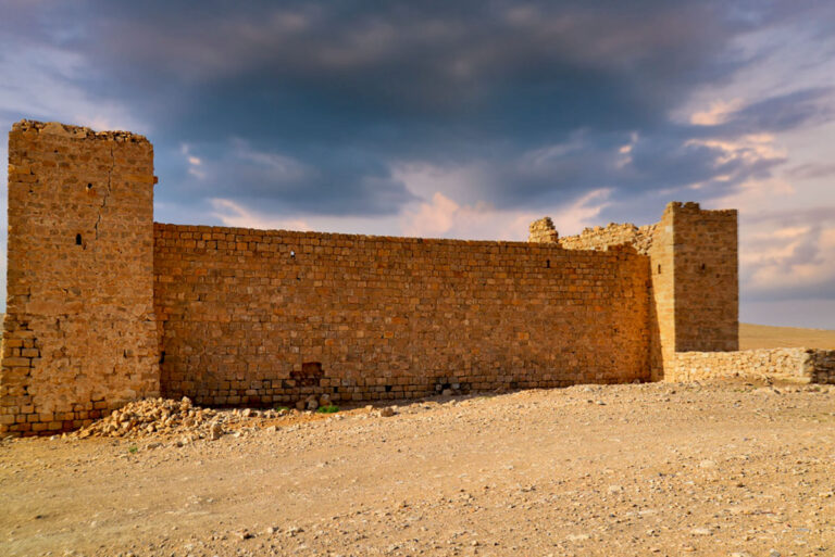
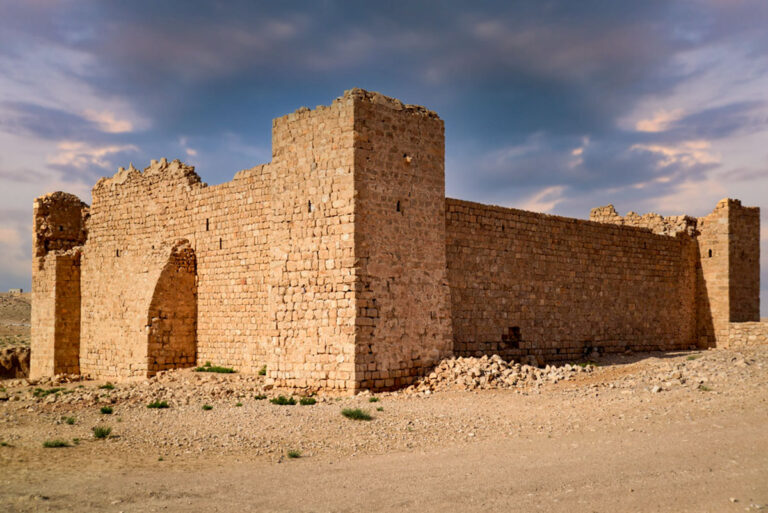
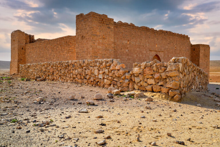
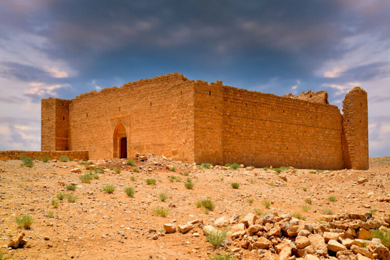
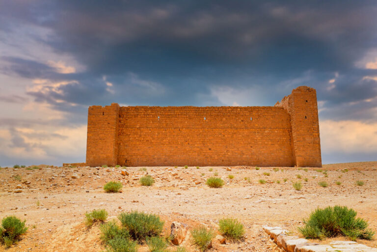
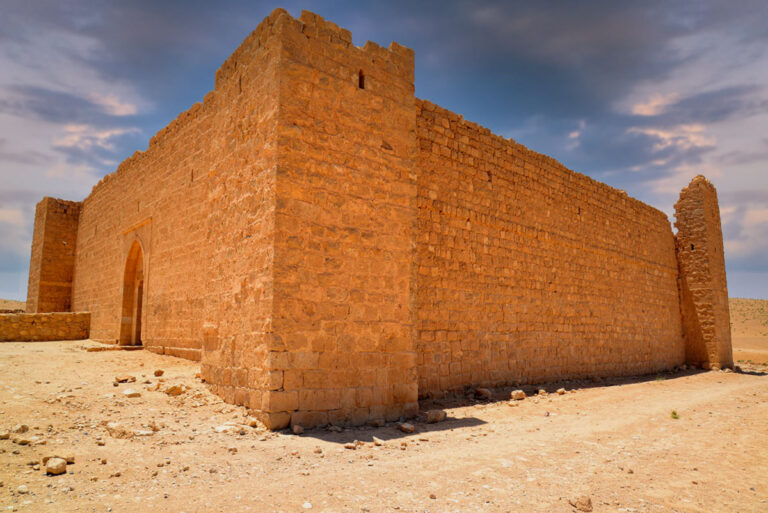
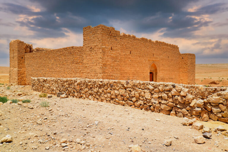
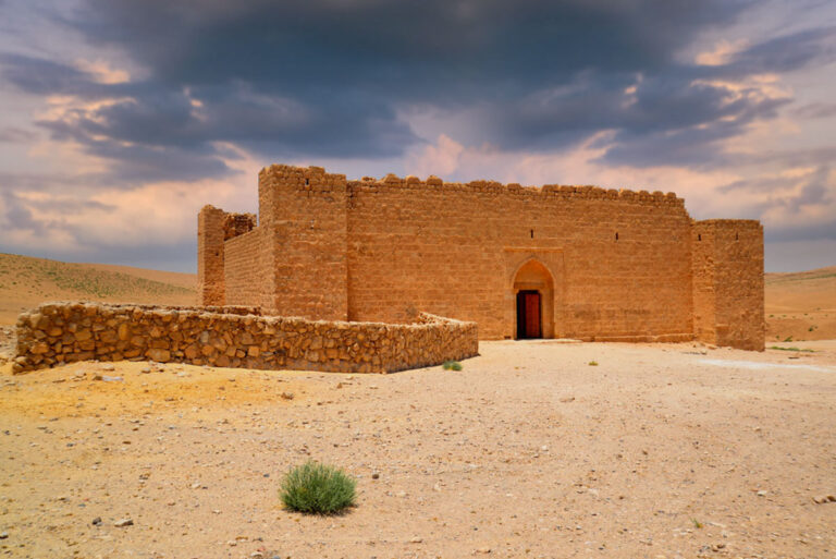
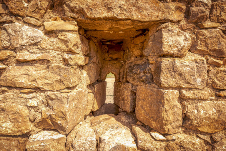
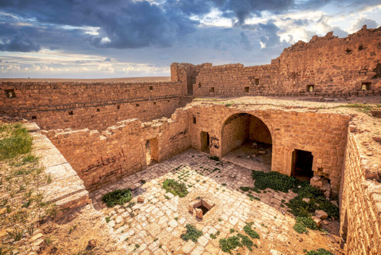
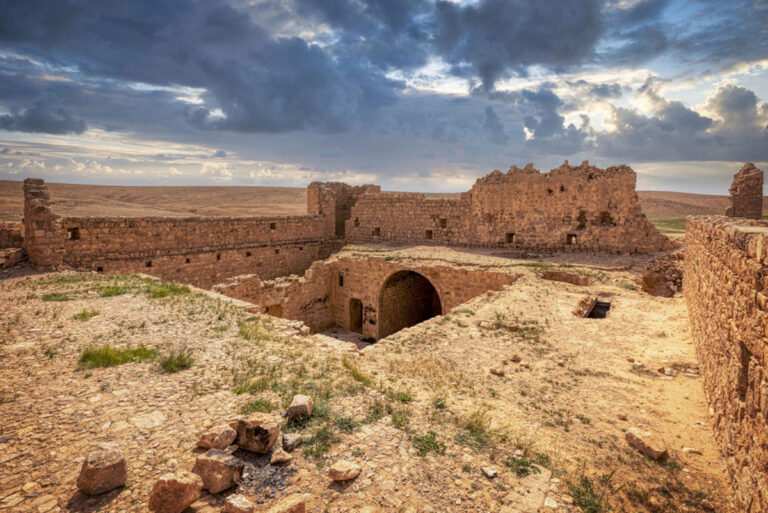
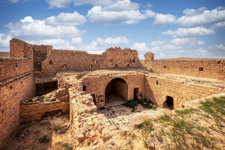
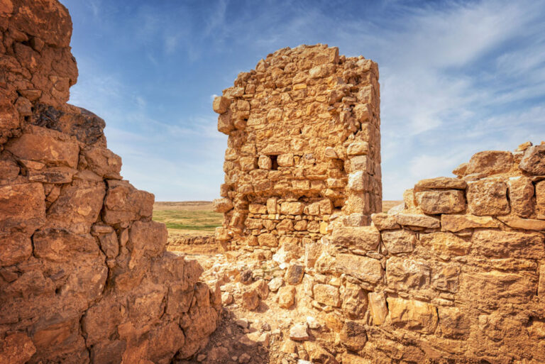
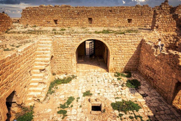
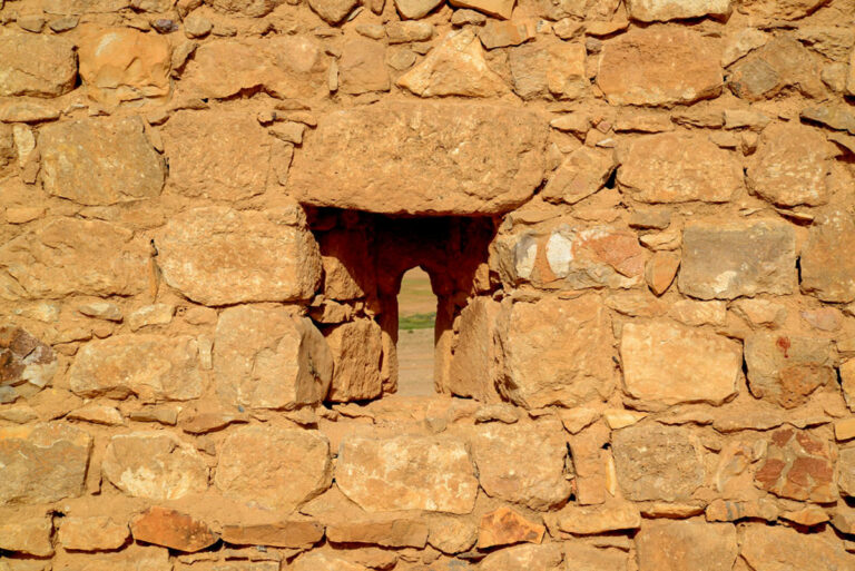
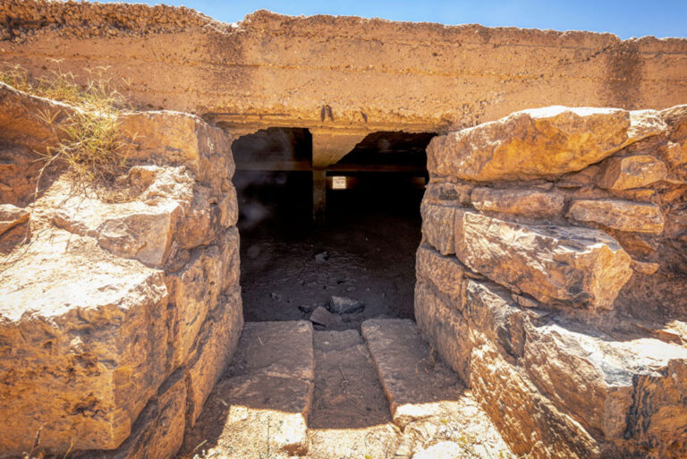
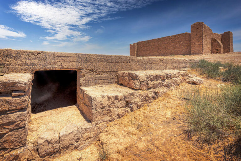
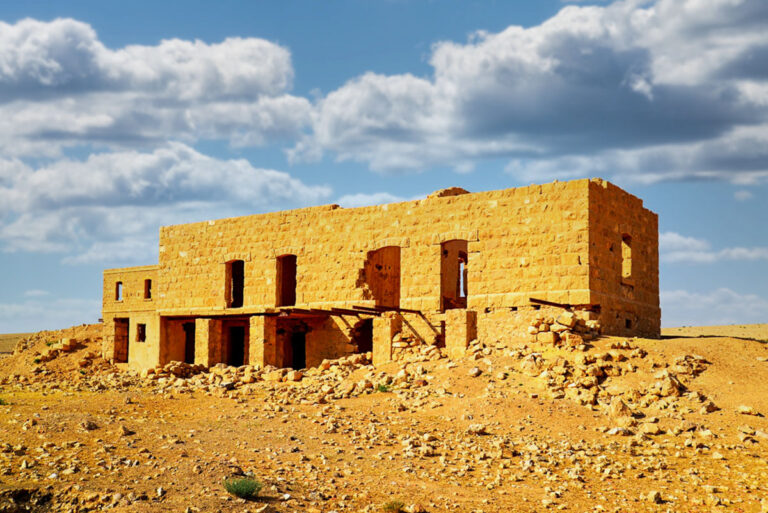
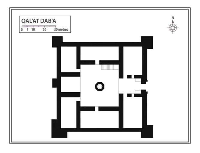
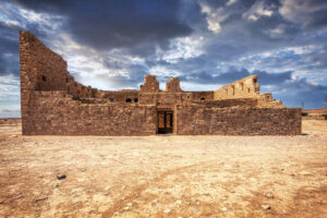
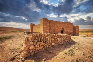
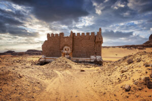
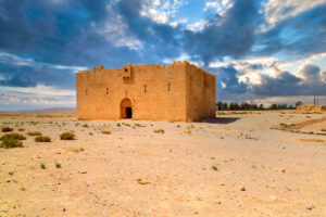
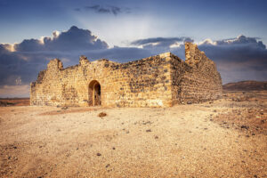
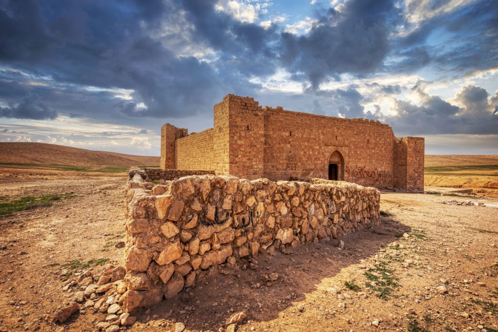
Nestled near the wadi, the fort is a square structure measuring about 25 metres on each side. It is equipped with four commanding corner towers and an intricately designed gateway. The entrance, found in the middle of the east wall, features a rectangular façade of finely dressed stone crowned by a tall, pointed arch. Notably, the two eastern towers stand at 3 metres high, while the southwestern tower rises impressively to 4.2 metres, making it the grandest of the four. Intriguingly, three of the towers have functional rainspouts that project outwards, mirroring the design found within.
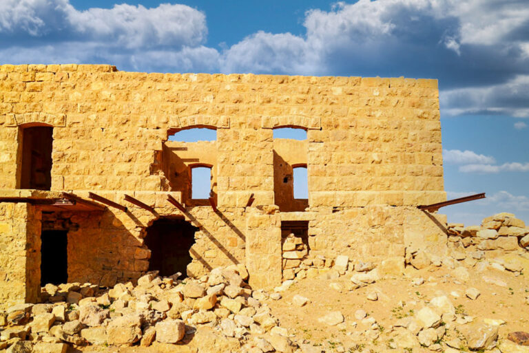
The exterior walls preserve remnants of crenellations, particularly on the east side above the gateway and on the west side near the buttress. These crenellations are beautifully crafted in a tri-lobed form, using finely shaped limestone blocks that accentuate the artistry of the Ottoman-era construction.
Interior Layout and Design
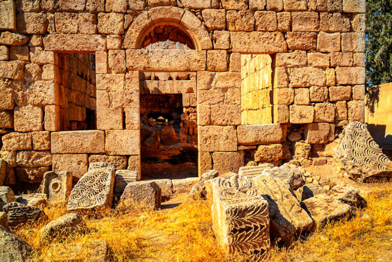
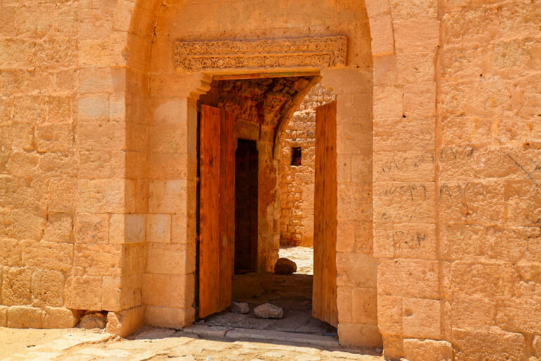
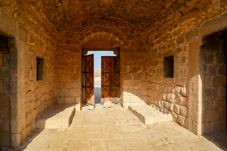
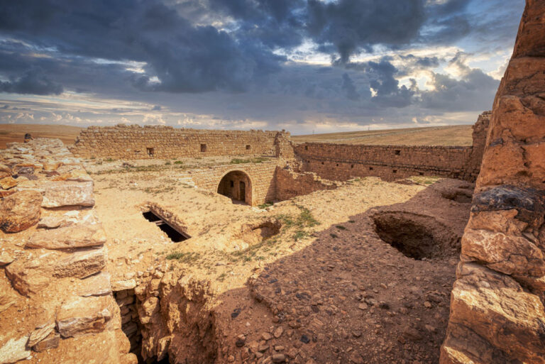
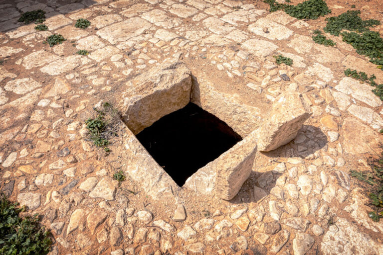
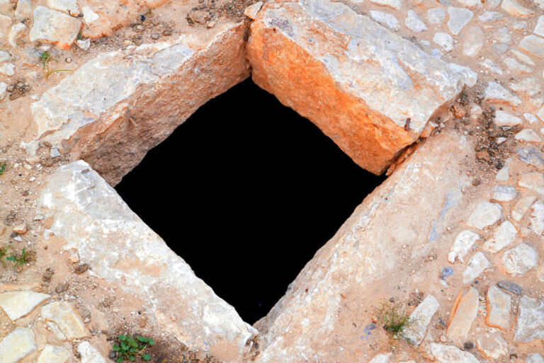
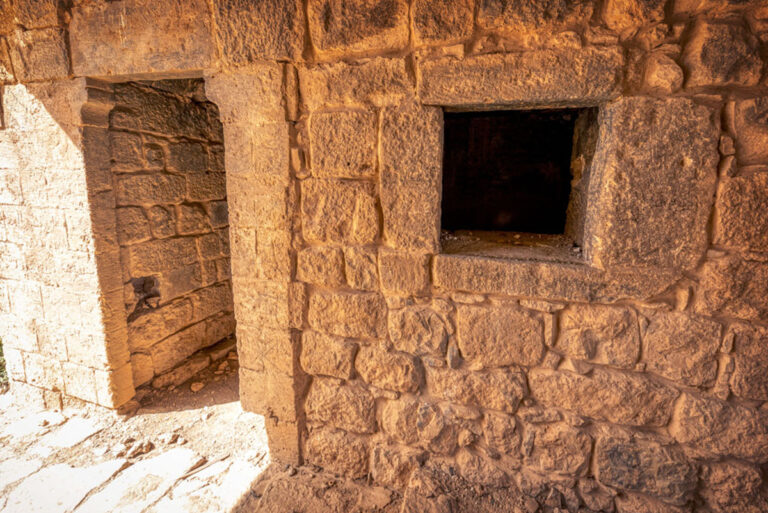
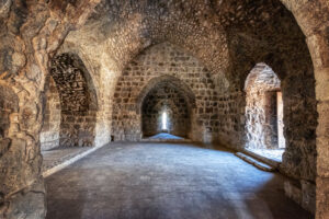
Upon entering the fort’s gateway, visitors are greeted by two rectangular stone benches on either side. The gateway itself is barrel-vaulted, opening onto a central courtyard paved with rectangular stones. At the centre of the courtyard lies a circular opening leading to a bottle-shaped cistern, a testament to the fort’s clever water management system.
The courtyard is bordered by various rooms and features:
- South Side: A doorway leads into a rectangular room, once barrel-vaulted but now partially collapsed.
- West Side: Three openings—one large central iwan flanked by two smaller doorways—grant access to rectangular rooms covered with barrel vaults.
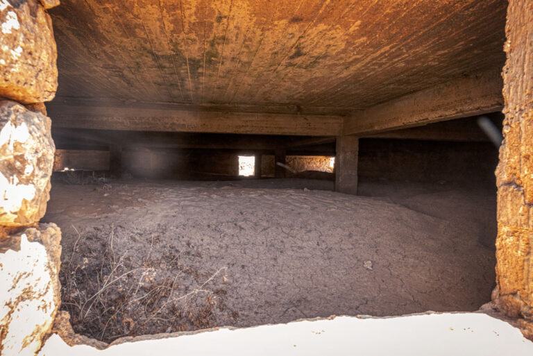
- North Side: A doorway leads to a long rectangular room with a flat roof supported by iron girders. Interestingly, remnants of the original barrel vault can still be glimpsed.
- Stairway: Access to the upper floor was provided by a set of stairs built from dressed limestone atop a rubble core. Although destroyed in 1986, the stairway was reconstructed in 2004.
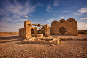
At each corner of the courtyard, doorways connect to the towers. While these towers once boasted vaulted roofs and additional storeys, time has caused their collapse. A surviving staircase in the north-east tower hints at how these upper levels might have been accessed.
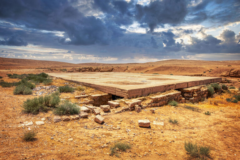
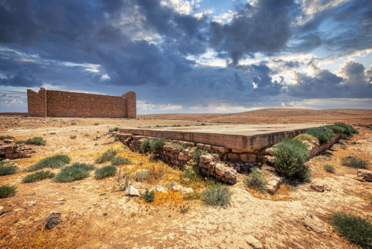
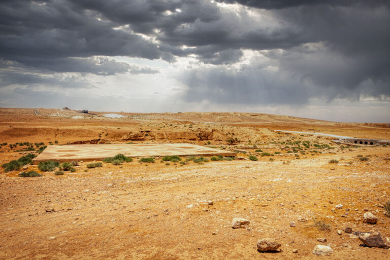
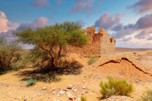
Reservoirs and Cisterns
To the north of the fort lie two rectangular reservoirs that highlight the ingenuity of water storage during the Ottoman period. The larger reservoir, measuring 22.4 by 21.2 metres, is enclosed by a modern reinforced concrete roof, though its stone block construction dates back to the same era as the fort. Flint cobbles surround the cistern’s perimeter, and stone steps descend into the water at its southeast corner. Functionally designed openings allow for both overflow and water inlet management.
The smaller reservoir, connected to the larger one by a wide, muddy channel, similarly features steps descending from its northwest corner. Together, these reservoirs underline the resourceful efforts to sustain life in this arid region.
Historical Significance and Design Highlights
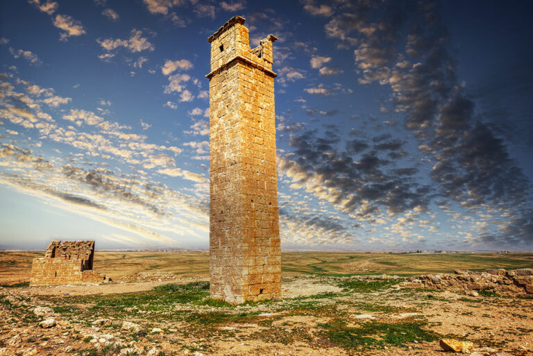
The complex history of Qal‘at Dab‘a, beginning well before its 1767 restoration, continues to capture the imagination of historians. The fort’s most distinctive feature—its four robust corner towers—sets it apart from other Hajj forts of the time. These solid constructions provided not only defensive strength but also a commanding stature that endured despite centuries of wear.
With its blend of practical design and architectural beauty, Qal‘at Dab‘a stands as a monument to Ottoman ingenuity and the historical journeys of countless pilgrims. It invites exploration, offering visitors a chance to step back in time and uncover the stories embedded within its stone walls.

Key Moments in History
Early Mention by al-Baladhuri: The site is first mentioned by the Arab historian al-Baladhuri, who recounts a story of the Muslim general Yazid pursuing a Byzantine force to a location named Dubiyya.
16th-Century Reference by Mustapha Pasha: The fort is later referenced in the 16th century as Balqa‘, serving as a significant waypoint between Amman and Qatrana during arduous journeys.
Reconstruction by Amir al-Hajj ‘Uthman Pasha: The fort was rebuilt during the Ottoman period, as revealed by an Arabic inscription, to serve as a fortified stop along the Hajj route.
1898 Survey by Carl Brünnow and Alfred von Domaszewski: These archaeologists conducted one of the earliest surveys of the site, identifying its Ottoman history and features like the large cistern and Arabic inscription.
1928 Visit by Henry Field: During the North Arabian Desert Survey, Henry Field described the fort as a quintessential "Hajj fort," restored in 1767, and admired its architectural details, including the wooden door and cobbled parapet.
Modern Bedouin Name: The fort's modern name, "Hyenas' Fort," reflects the wildlife once present in the region, adding a layer of cultural significance to its history.