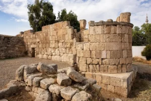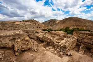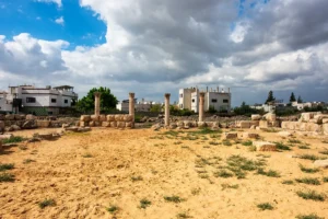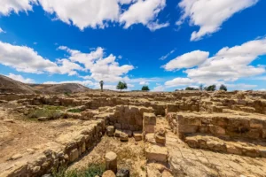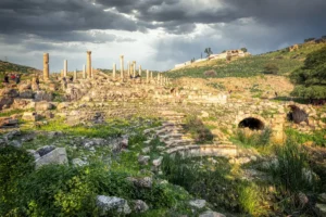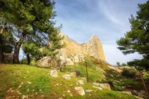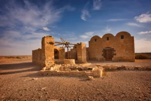
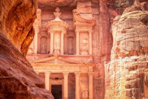
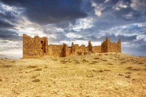
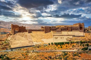
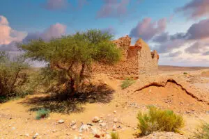
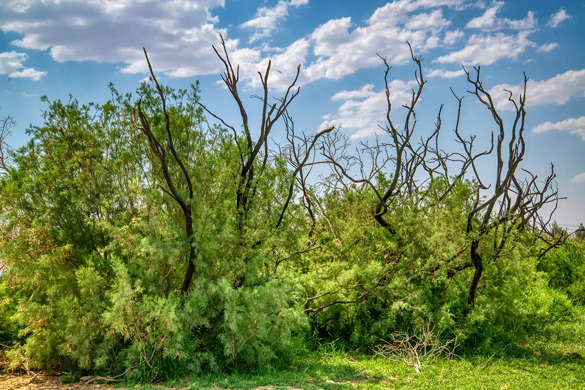
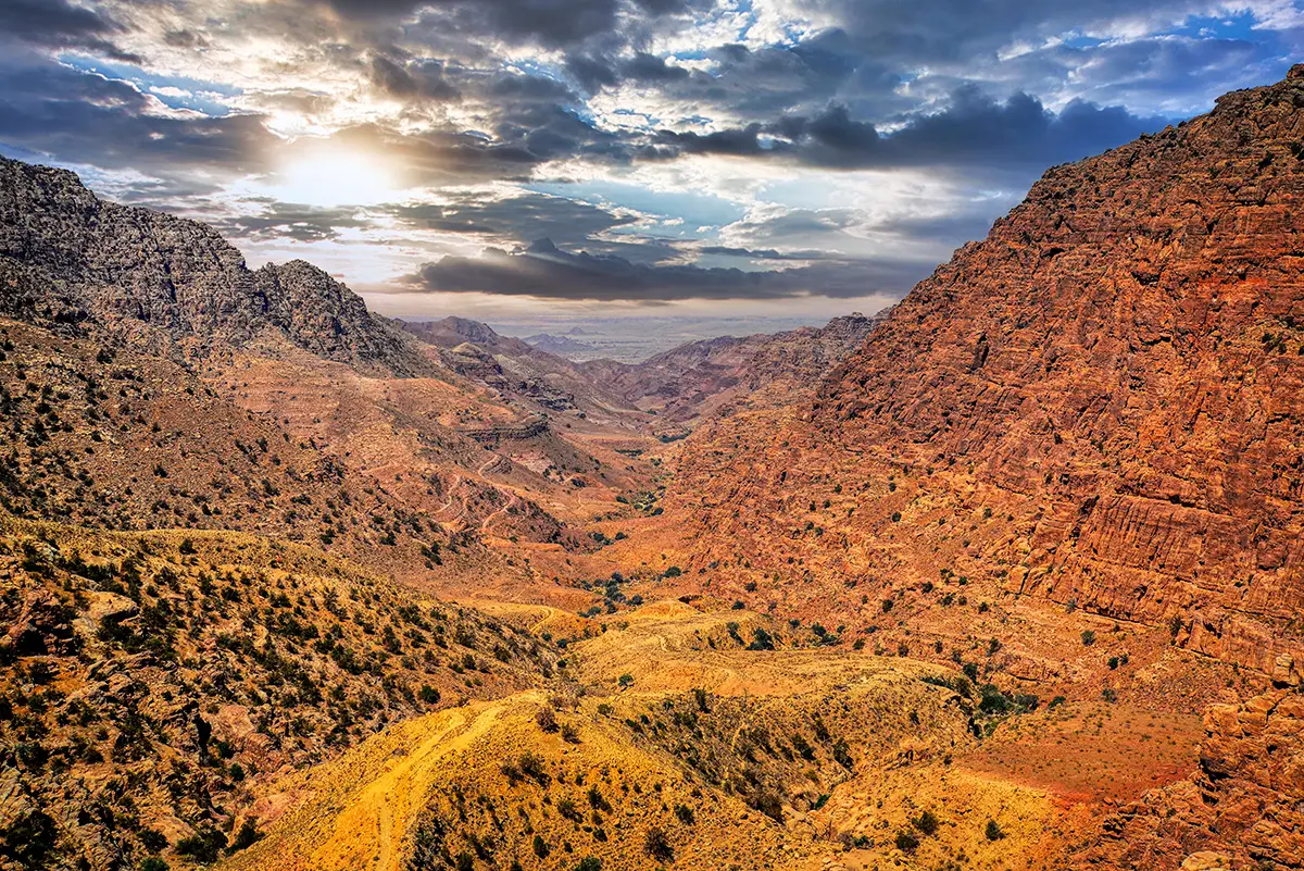
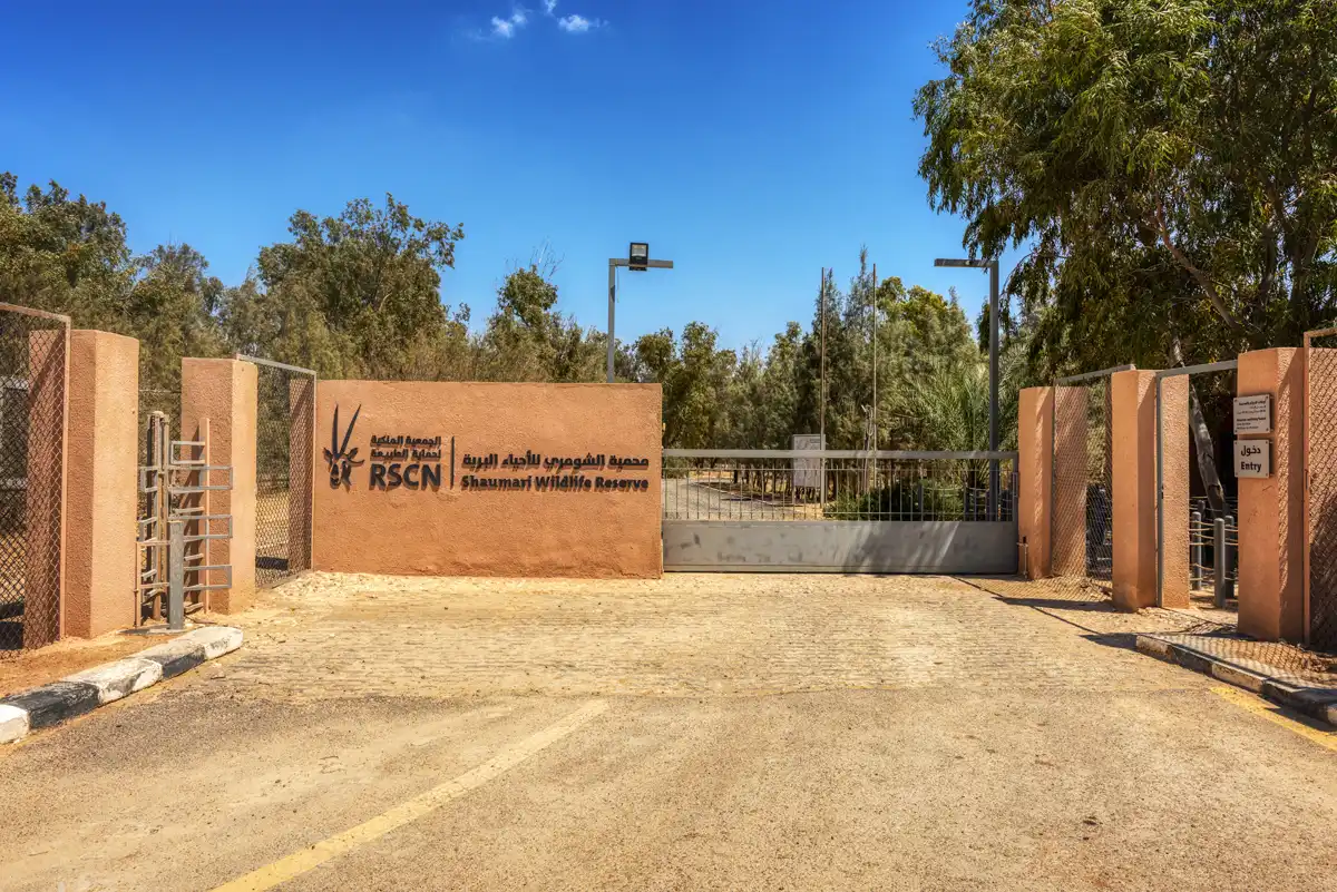
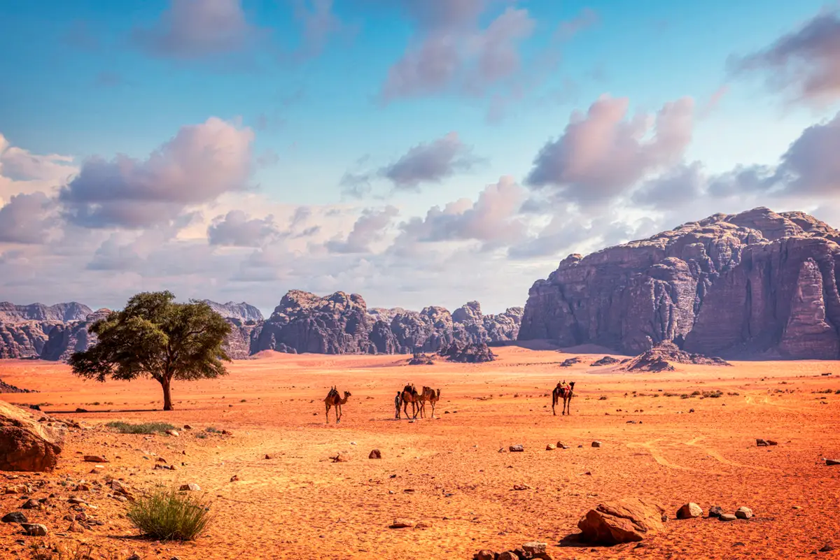
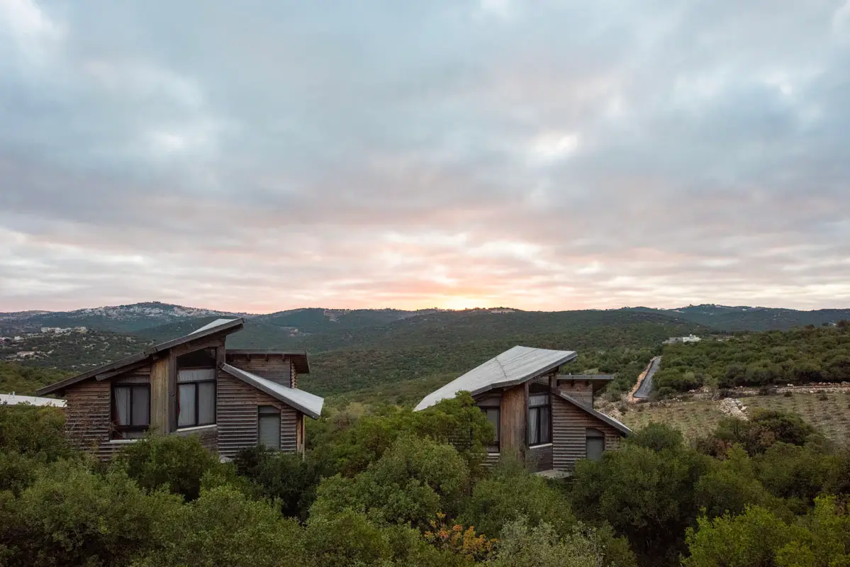
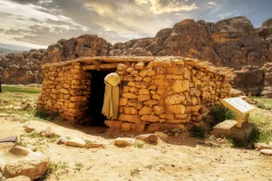
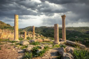
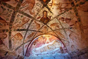
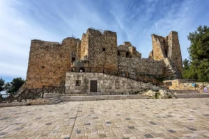
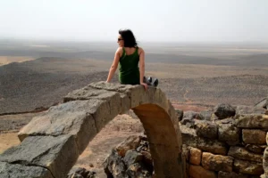
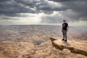
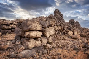
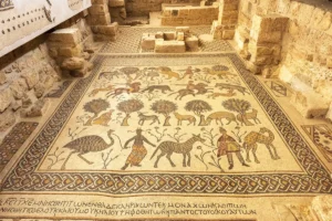
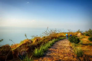

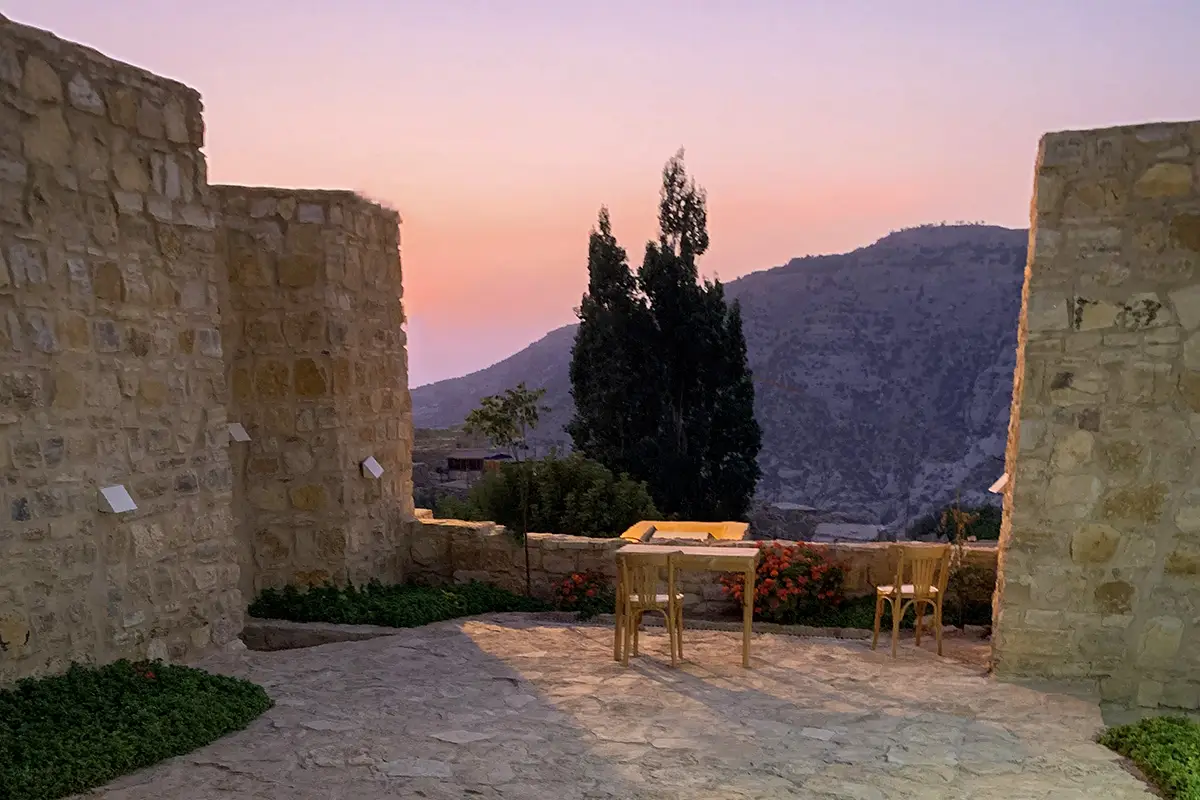
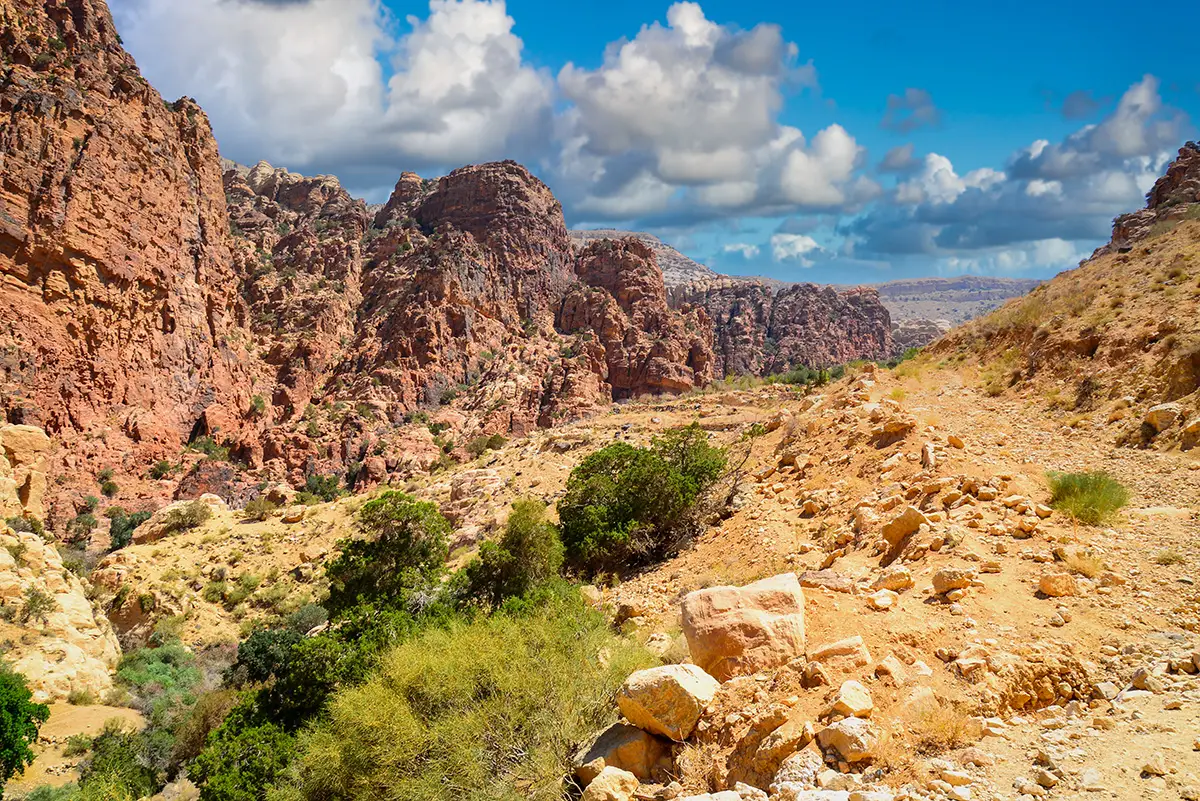
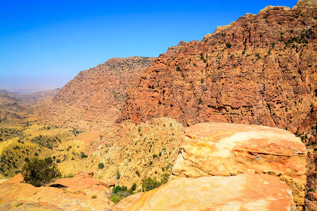
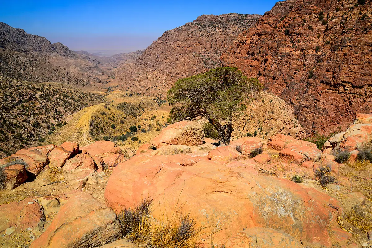
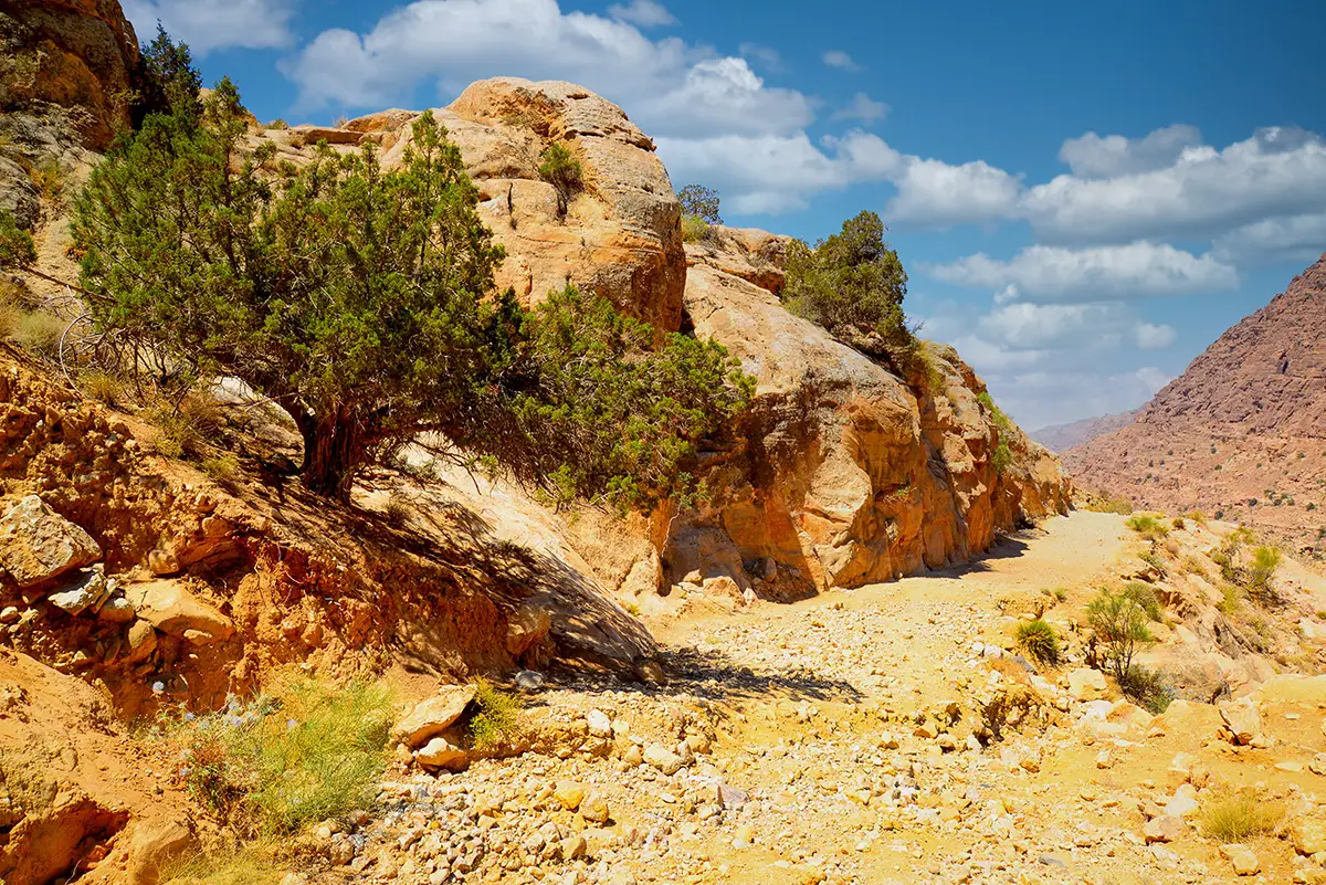
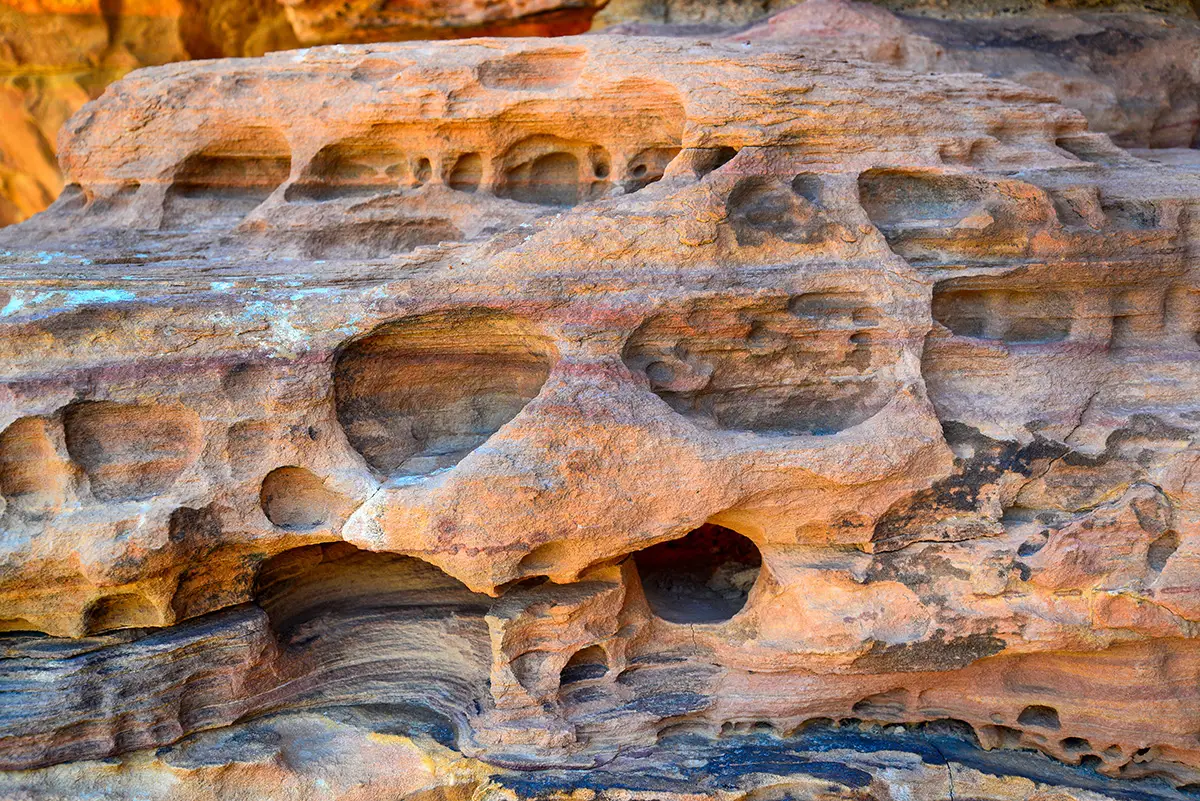
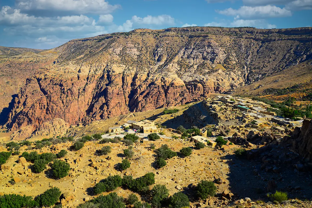
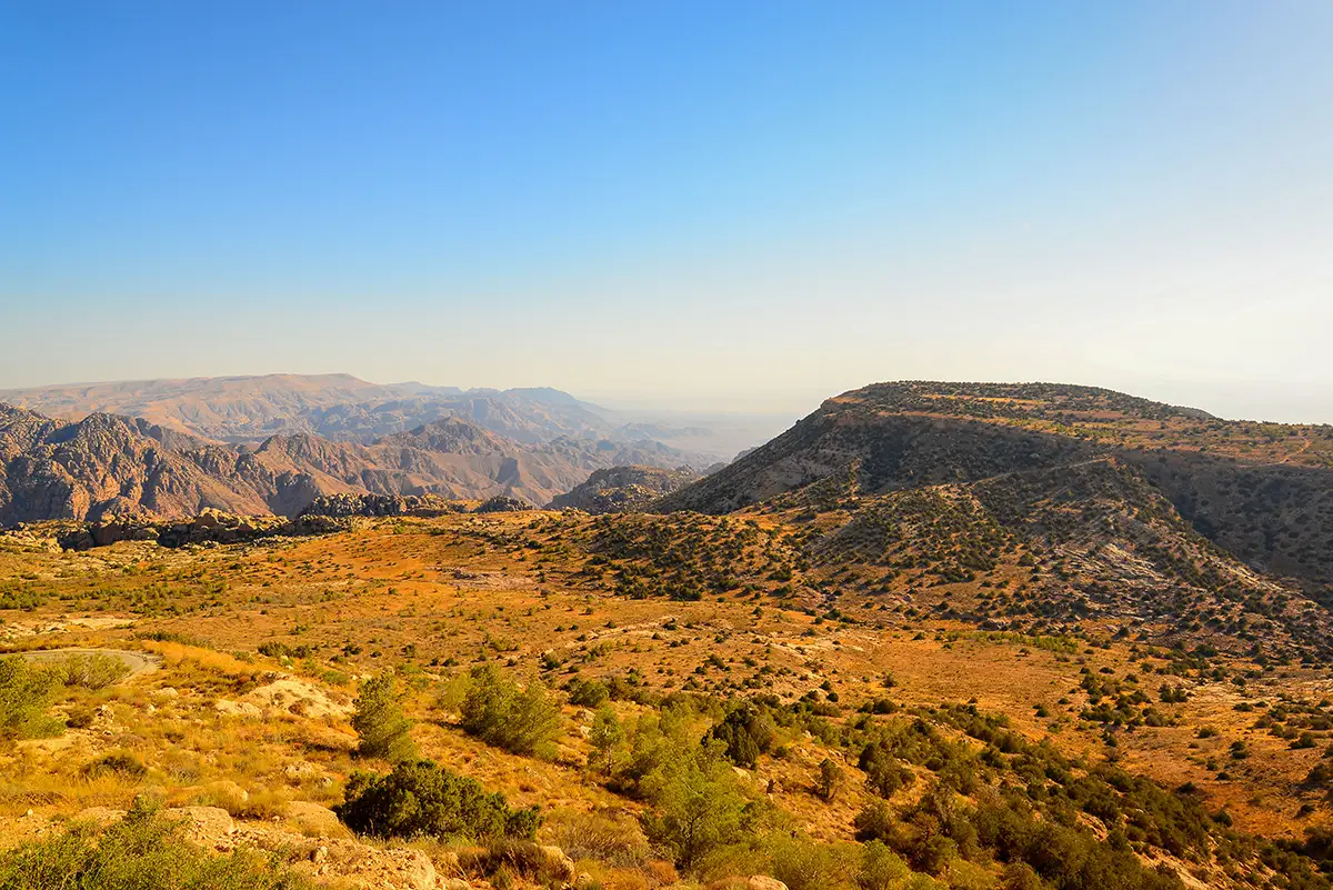
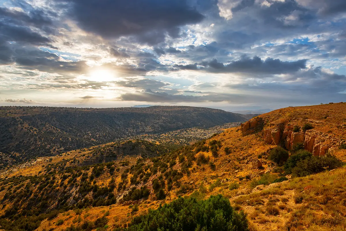
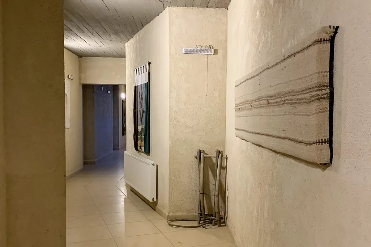
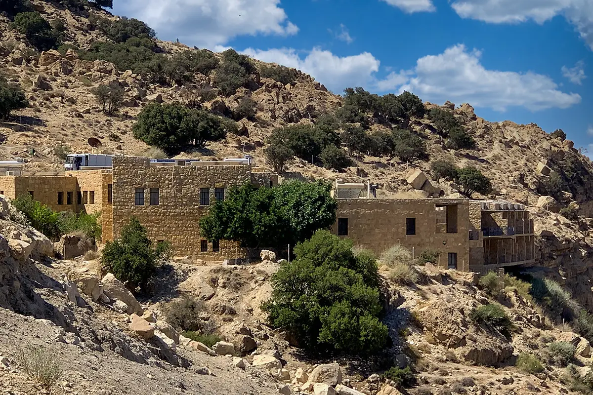
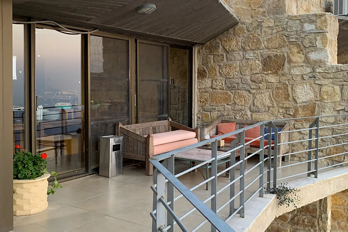
Between Tafila and Shobak, the Dana Biosphere Reserve falls from the stone village of Dana to the sands of Wadi Araba. This album follows the village, the Wadi Dana trail and Rummana, then the Guest House and Feynan Ecolodge.
In this album
30 photos of Dana Biosphere Reserve














Plan your visit
More from Dana Biosphere Reserve
Walk-throughs, panoramas and stories about this site.
 Travel guideDana Biosphere Reserve
 360°360° panoramaRummana Trail in Dana Biosphere Reserve: 360 View
 Private tourBest of King’s Highway from Amman to Petra
 Site profileDana Biosphere Reserve
 Travel articleExplore the Beauty of Dana’s Rummana Mountain Trail
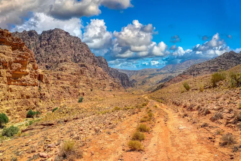 Travel articleExploring the Wadi Dana Trail in Jordan’s Dana Biosphere Reserve
 20 photosChurch of St. George: Spiritual Echoes from the 6th CenturyAmman, Madaba & Dead Sea
 25 photosDiscover Khirbet el-Fityan – Photo Gallery of an Ancient Roman FortKarak & King’s Highway
 38 photosQasr Mshash: An Umayyad Caravan Halt in PhotosEastern Desert
 28 photosAzraq Wetland Reserve: A Desert Oasis in PhotosEastern Desert