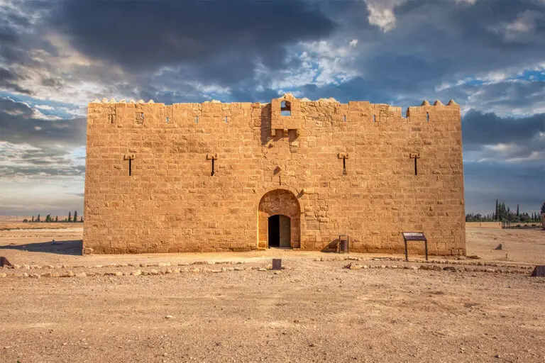
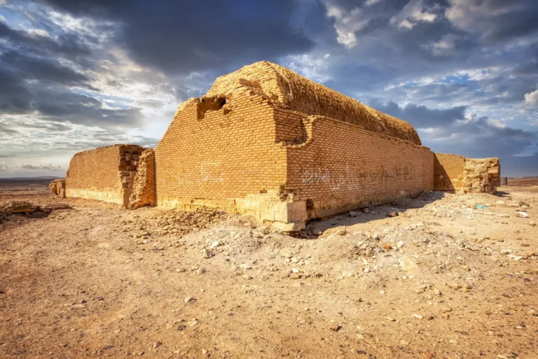
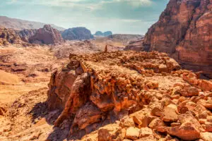
Qasr eth-Thuraiya is a Roman-era fortification located in central Jordan, forming part of the Limes Arabicus—the desert frontier system that marked the eastern boundary of the Roman Empire. Constructed between the 3rd and 4th centuries CE, this small fort, or castellum, was strategically positioned to monitor movement across the arid plains and to protect vital trade routes. It was part of a network of military installations, including the nearby Qasr Bshir, designed to secure the province of Arabia Petraea against potential incursions and to facilitate communication and control over the region.
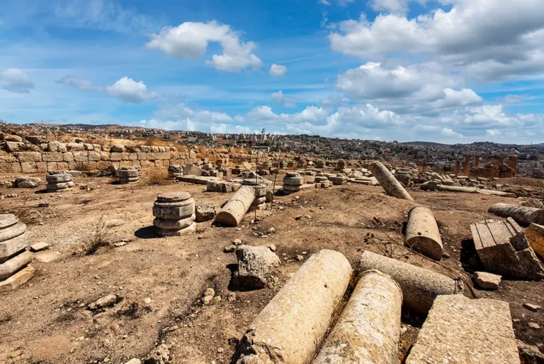
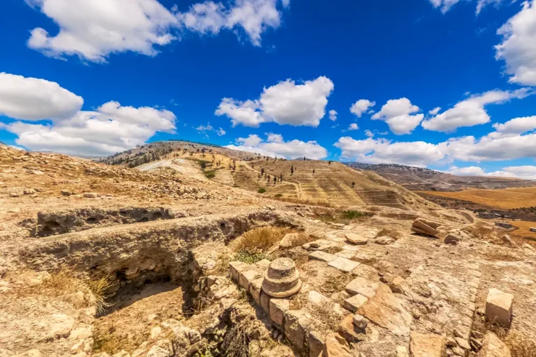
Today, visitors to Qasr eth-Thuraiya can observe the remnants of its rectangular enclosure and the foundations of its defensive walls. The site’s elevated position offers expansive views of the surrounding desert landscape, providing insight into the strategic considerations of its original builders. Although the fort is in a state of ruin, its historical significance as part of the Roman frontier system makes it a point of interest for those exploring Jordan’s rich archaeological heritage.
Trace the rectangular wall lines to appreciate how the enclosure occupies the elevated ground. Then compare the surviving foundations with the open countryside beyond them. The broad outlook helps establish the relationship between a compact fort and a much larger landscape.