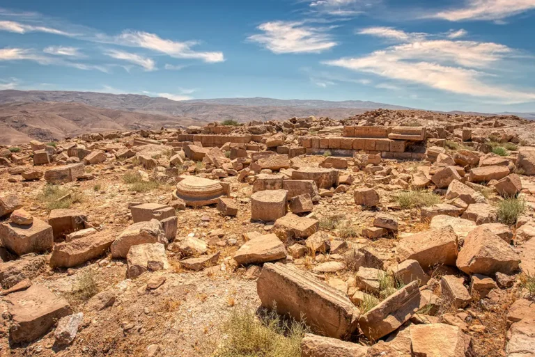
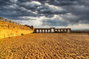
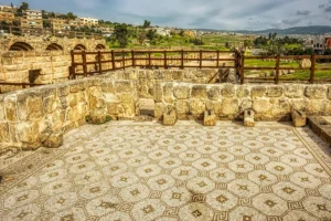
A 360 panorama of the Dajaniya Fort ruins in Jordan places viewers amid the remains of a remote Roman-era frontier outpost surrounded by the sweeping desert plains of southern Jordan. The panorama reveals the fort’s weathered stone foundations, collapsed defensive walls, and scattered architectural fragments that once formed part of a strategic military station guarding ancient trade and travel routes across the arid landscape. In every direction, the stark beauty of the Jordanian badia unfolds beneath open skies, with rugged terrain and distant hills emphasising the isolation of this forgotten archaeological site. The soft desert light enhances the textures of the ancient masonry, while the panoramic perspective conveys the atmosphere of a once-vital Roman stronghold now standing quietly against centuries of wind and time.