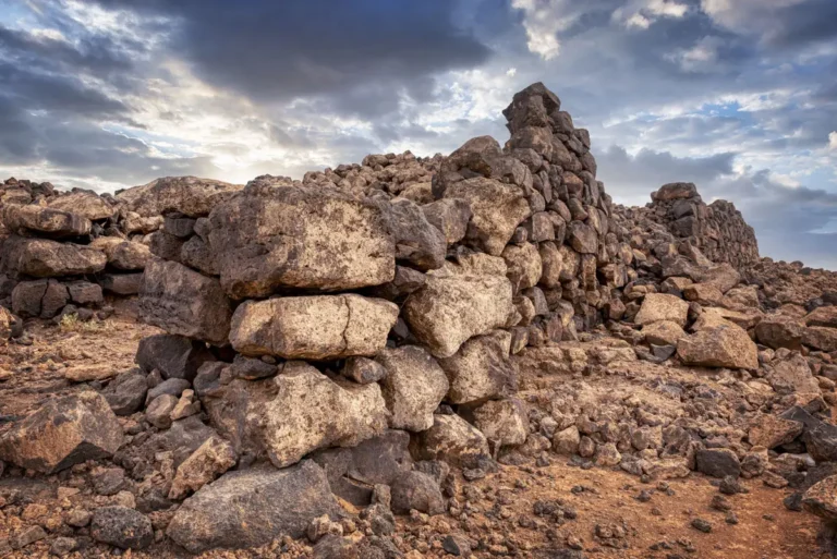
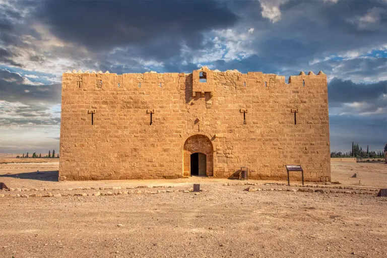
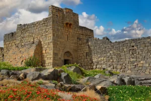
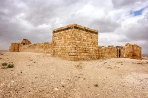
Qasr Deir Al-Kinn is a little-known archaeological site located near the ancient Bronze Age settlement of Jawa in Jordan’s northeastern desert. Thought to have origins in the late Roman or early Byzantine period, this small fortress or fortified farmhouse was built using the region’s characteristic black basalt stones. Its strategic location near trade and pastoral routes suggests it played a role in overseeing local movement and possibly provided shelter or protection for travellers and herders. Though much of the structure is now in ruins, visible remains include thick stone walls and several internal chambers, hinting at its former defensive and residential purposes.
Surrounded by the stark desert landscape, Qasr Deir Al-Kinn offers a glimpse into how ancient communities adapted to life on the frontier between settled lands and the nomadic world. Archaeologists believe the site may have been part of a network of rural strongholds connected to larger centres like Jawa. Visiting the site today, visitors encounter a quiet, atmospheric ruin that captures the resilience and ingenuity of those who lived in this challenging environment centuries ago. Its relative obscurity makes it a hidden gem for those exploring Jordan’s less-travelled archaeological treasures.