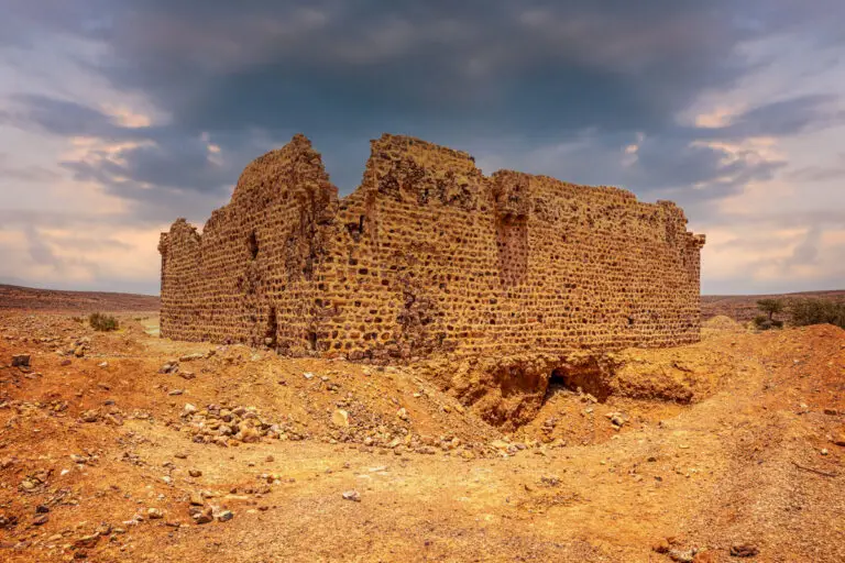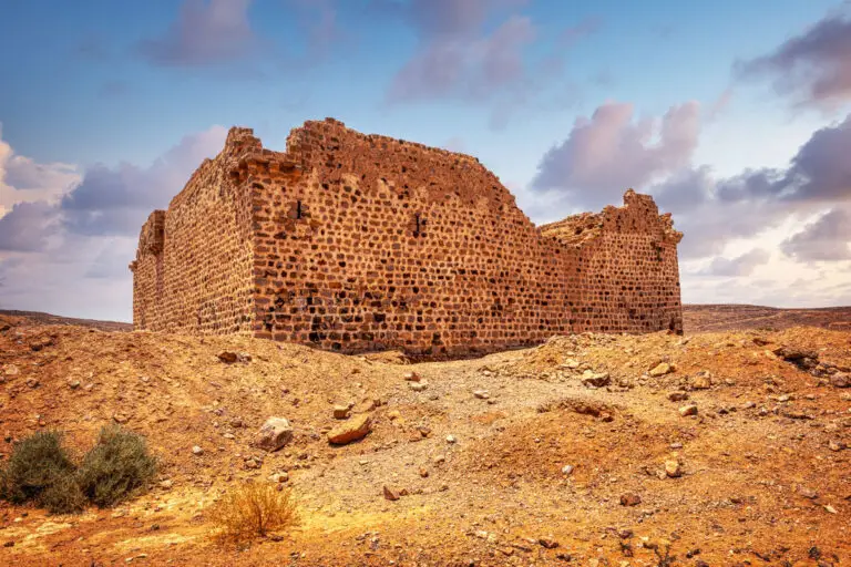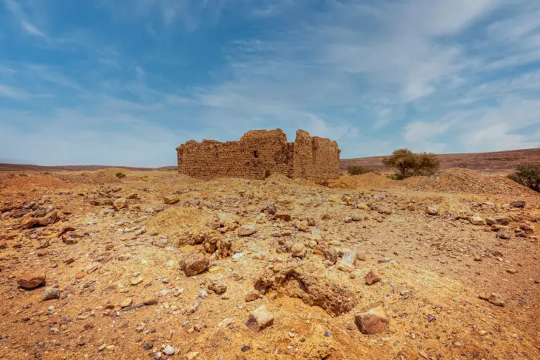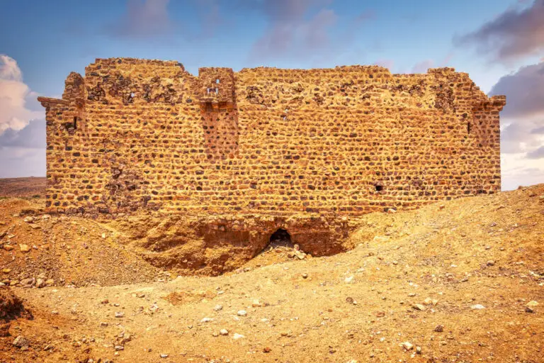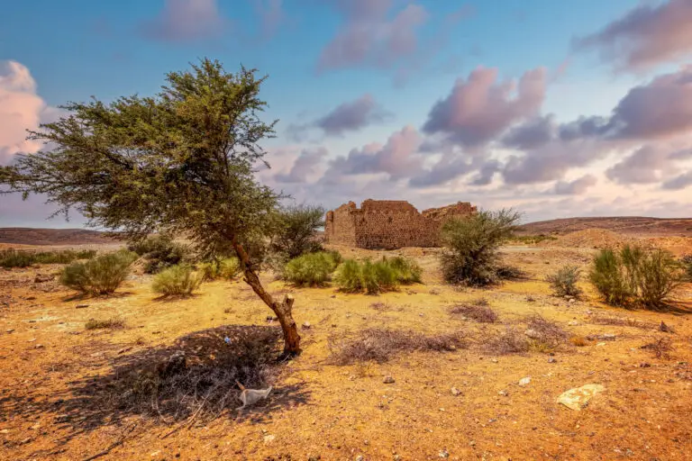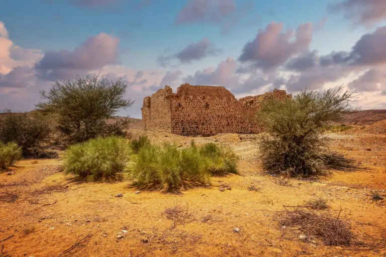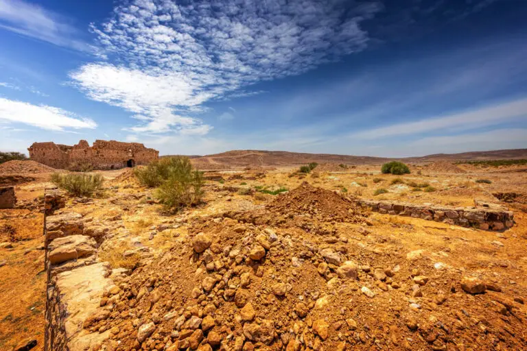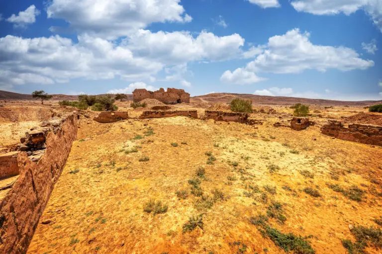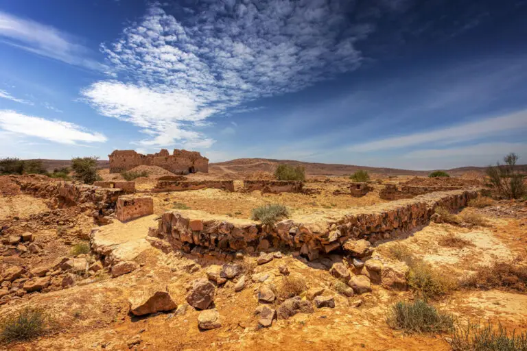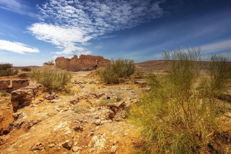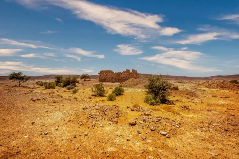
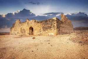

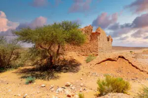

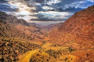


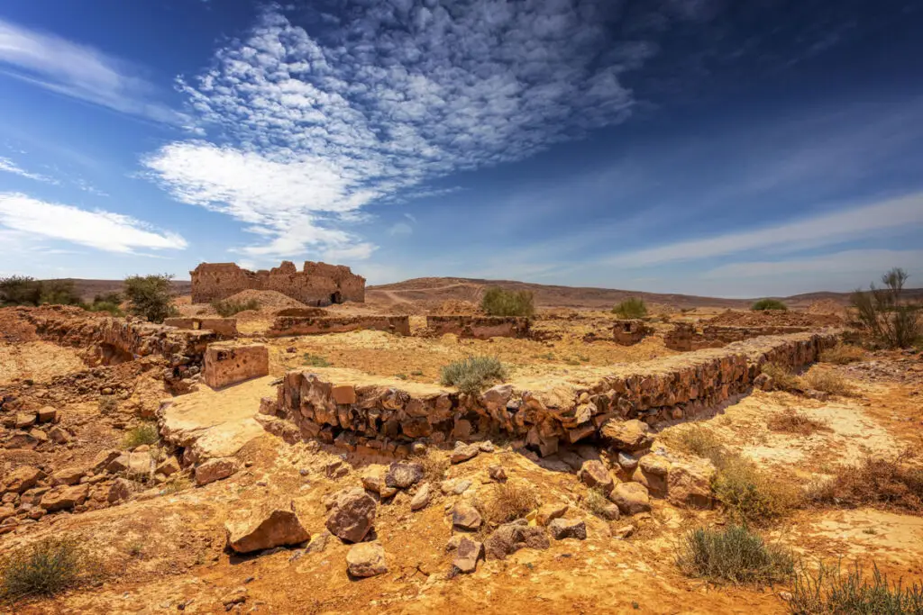
Qal’at Fassu’a, situated 2 km west of Muhattat Fassu‘a along the historic Hijaz railway line, is a captivating site that offers a glimpse into both the architectural ingenuity and the rugged beauty of its surrounding landscape. Nestled amidst the high plateau of Fassu‘a, intersected by deep gullies and scattered with flint and limestone stones, this fort stands as a remarkable testament to the region’s history and geography. To the north, one finds Wadi al-Msas, a tributary of Wadi Abu ‘Amid, while the site itself serves as the last stronghold on elevated terrain before the route descends through Batn Ghul into the vast Arabian Desert.

The Fort’s Design and Structure
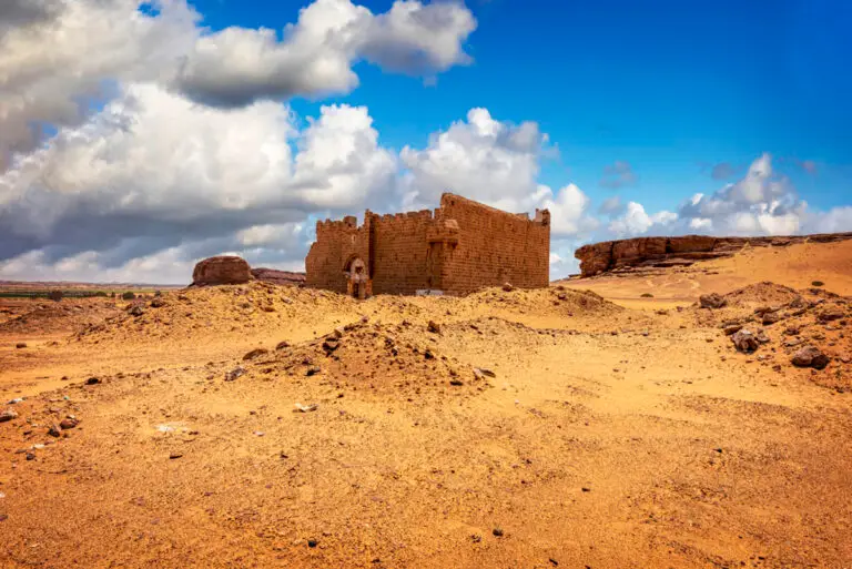
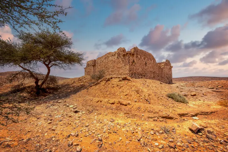
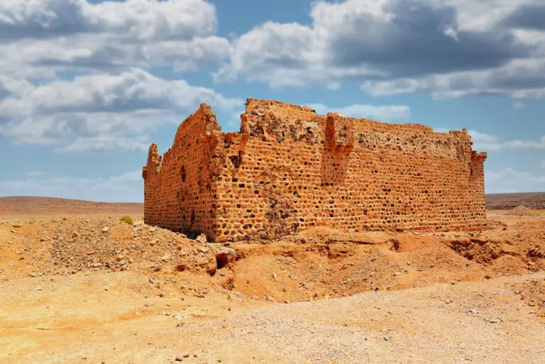
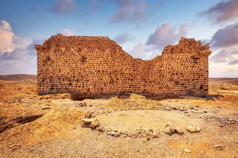
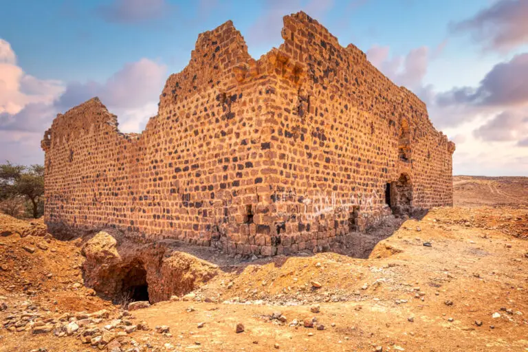
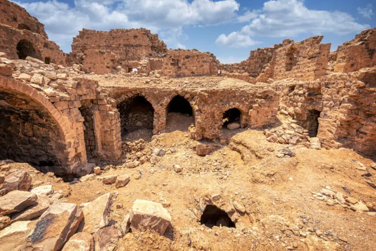
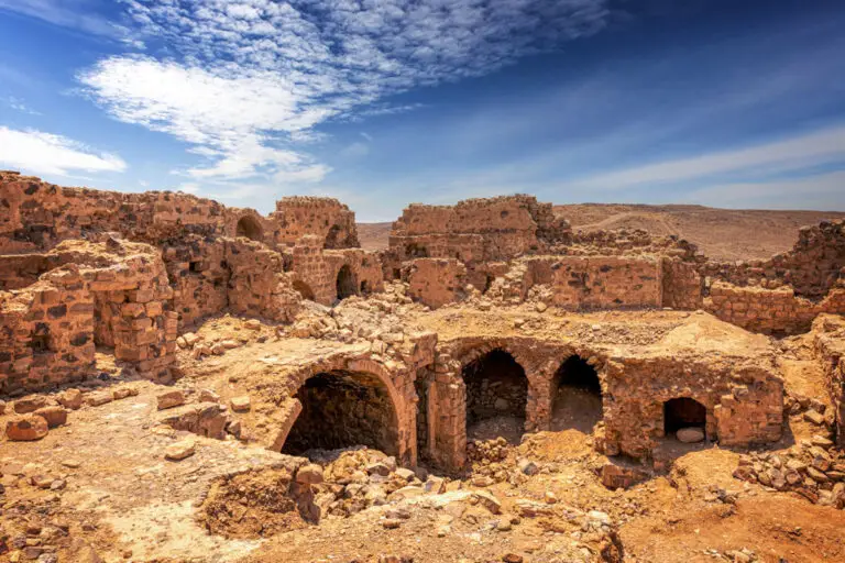
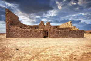
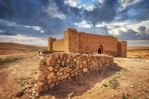
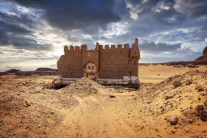
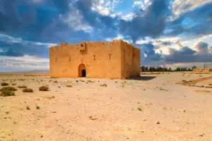
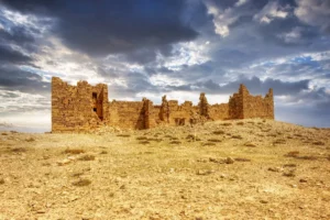
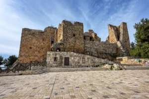
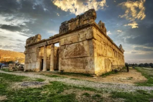
The fort of Qal’at Fassu’a is a square structure, measuring 20 x 20 metres and rising approximately 7 metres above ground level. Its robust construction features a mix of slate, flint, basalt, and limestone, all fitted together with lime mortar. Although crenellations are absent, the walls are capped with a mortared layer of small stones that form a rounded ridge, adding both strength and elegance. At each corner of the fort are projecting towers, standing 5 metres above ground level, devised with a consistent design.
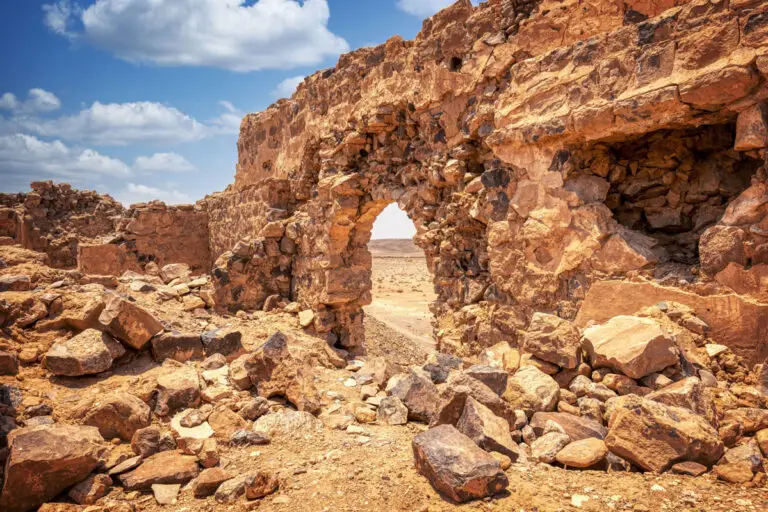
On the south side, a unique box machicolation protrudes from the wall. Positioned 5 metres above ground, this feature, measuring 2.2 metres high, was likely used for defensive purposes. Its floor, crafted from long, flat flint slabs, incorporates gaps between the corbels, characteristic of its architectural function. Heavy stone tiles, laid at an angle, roof the machicolation as well as the four corner towers, giving the fort an imposing yet coherent aesthetic.
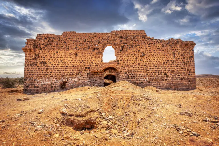
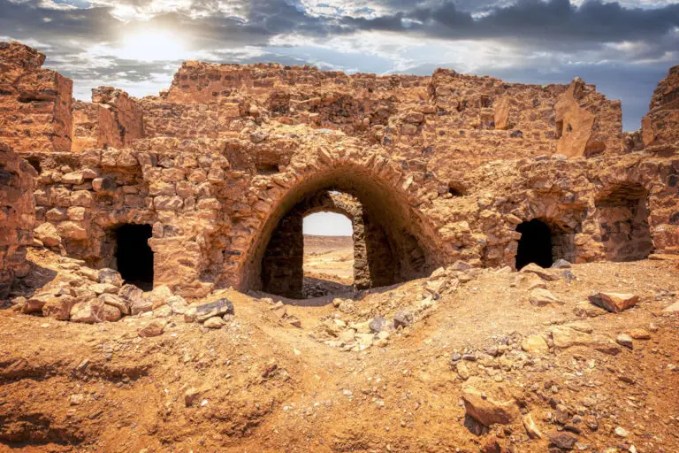
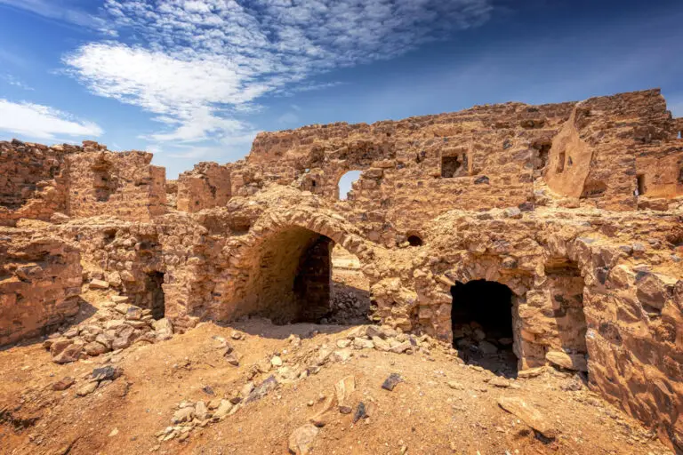
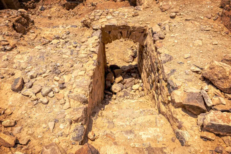
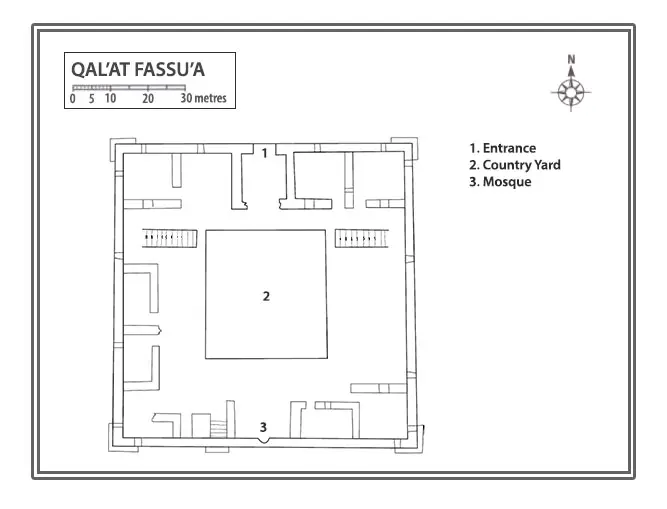
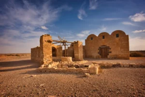
The fort’s narrow yet striking entrance is located in the middle of the north wall. Framed by dressed purple sandstone, the gateway is surmounted by a semicircular arch and a lintel bearing an inscription—though this piece has been missing since 1986. The entrance gives way to a vaulted passage, leading into a nearly square central courtyard (8.8 x 8.1 metres). Centrally located within the courtyard is a square-shaped hole granting access to a bottle-shaped cistern beneath—a practical solution to the fort’s water needs.
Interior Layout
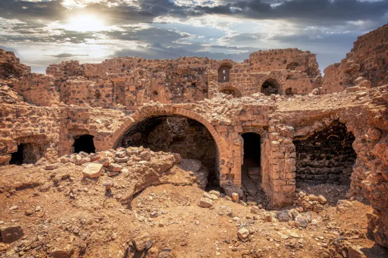
Within the north range of rooms, the entrance hall is flanked by two additional chambers. A doorway at the west end leads to a vaulted room running east to west. On the west side of the courtyard are three rooms and a staircase that ascends to the first floor. Smaller, narrow chambers line the southern section of this range, while the east side features two vaulted rooms of differing widths.
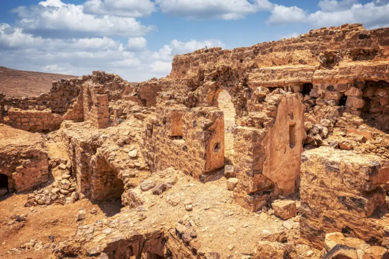
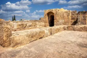
The centre of the southern range hosts a grand iwan with a shallow niche at its heart, believed to be a prayer space. Its scalloped plastered hood adds an artistic touch, showcasing the intricate craftsmanship of the time. Above, on the first floor, another prayer room can be found, while nearby structures might have served as areas for ablutions or perhaps even a small bathhouse—a feature that provides fascinating insight into the daily life and rituals of the fort’s inhabitants.
The First Floor and Upper Features
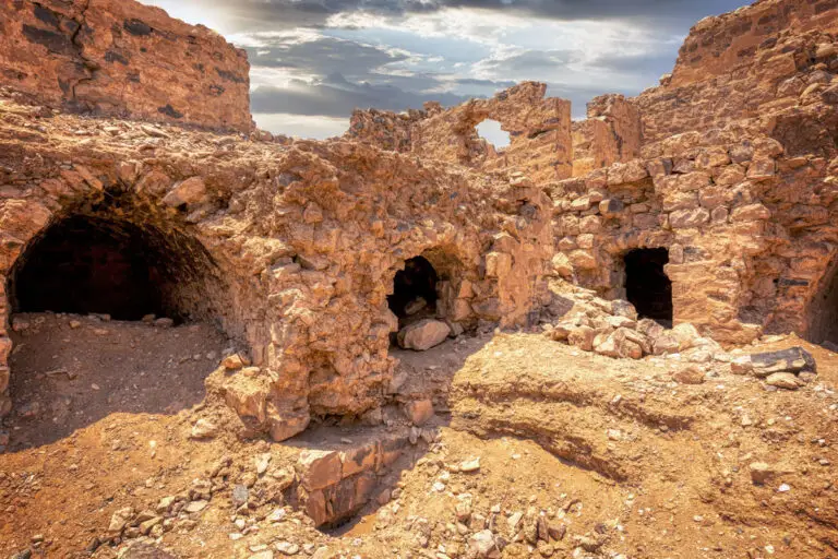
Reaching the first floor requires ascending one of two staircases situated on opposite sides of the courtyard. These staircases, each 4.4 metres long and 1.2 metres wide, are covered with arches. The upper rooms, though less intact, reveal remains of wooden beams, suggesting they were originally roofed with timber. The floor itself is constructed from flint cobbles bordered by neatly dressed limestone blocks, a sturdy yet visually appealing design.
The west range of upper rooms includes two shallow chambers, while the south range mirrors the layout beneath it with its arched iwan and associated spaces. The presence of two prayer rooms—one above the other—is a compelling feature that speaks to the spiritual significance of the fort’s design.
Reservoirs and Signal Structures
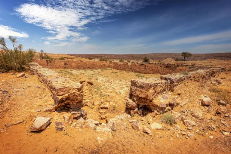
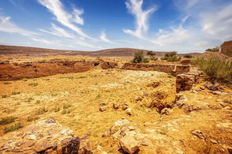
Beyond the fort, two cisterns, located 40 metres from the main entrance, stand as practical adjuncts to the site. These reservoirs were built with semi-dressed sandstone and flint blocks, plastered internally with similar materials to those used in the fort. A low wall connects the southern ends of the reservoirs, which are positioned parallel to each other.
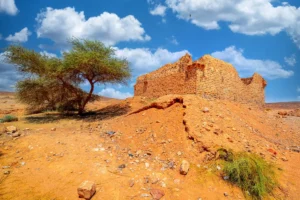
Further afield, approximately 500 metres west of the fort, lies a pile of flint rubble marking the remains of a square structure. Measuring 3 metres per side, with an opening on its eastern face, this beacon-like site is one of two such remnants. Another, located 750 metres to the northeast, similarly overlooks the fort, likely serving as a guide for pilgrims or travellers approaching this rugged yet strategic area.
Ruin and Historical Intrigue
Though Qal’at Fassu’a has stood the test of time, records suggest it fell into disrepair shortly after its construction. Visitors as early as 1825 described it as a ruin. Despite this, the fort’s dual prayer rooms and related ablution spaces remain striking features, underscoring the cultural and spiritual considerations of its design. Amidst its rugged surroundings, Qal’at Fassu’a stands as an enduring, though weathered, sentinel of the past—a site steeped in history and waiting to be explored.
Key Moments in History
1326: The famed traveller Ibn Battuta passed through the area, known as Aqaba al-Suwwan or “the pass of flint,” during his pilgrimage. The rugged, flint-strewn terrain made it a challenging route for travellers.
Ottoman Era (1779): Osman Pasha constructed a fort and a fountain at Fassu’a. This marked the first recorded instance of a fort at the site. Mehmed Edib described the fort as being in a barren, rocky valley, located 13 hours south of Ma’an.
1825: The fort had fallen into significant disrepair, with two walls collapsed. An inspector for Muhammad Ali documented the state of the fort and urged local shaykhs to repair it. He also noted the presence of two large cisterns, which were functional but unable to collect much water.
1910: Explorer Alois Musil visited the site, describing it as a “small ruined fortress.” He observed two rainwater pools near the fort, which were partially filled. His camels drained the cisterns during his visit, causing disruption.
Modern Era: The fort now lies in ruins, but its historical significance as part of a medieval pilgrimage route and an Ottoman-era structure remains a cultural marker in the desert landscape.